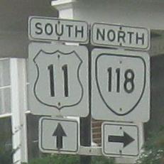
Virginia Roads - US 11 - Salem/Roanoke to Staunton
 Salem and Roanoke to Staunton
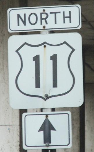
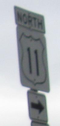
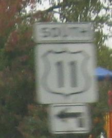
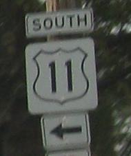
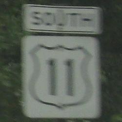
As with the northern section of Virginia US 11, photos progress from north to south.
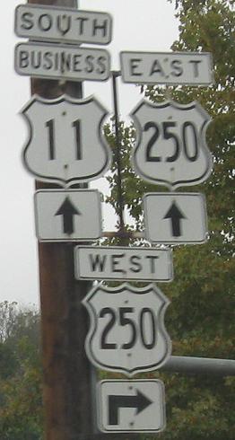
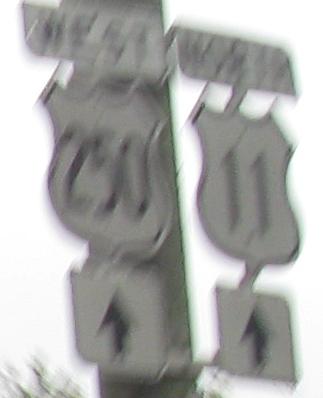
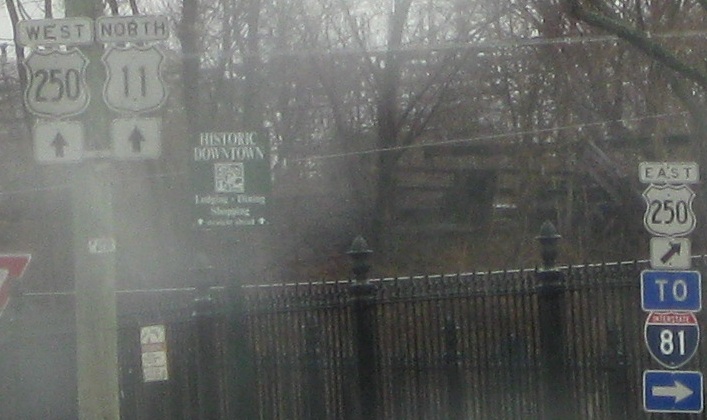
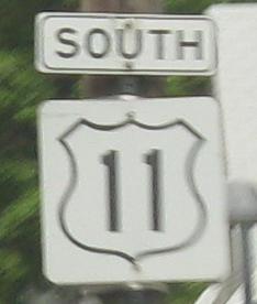
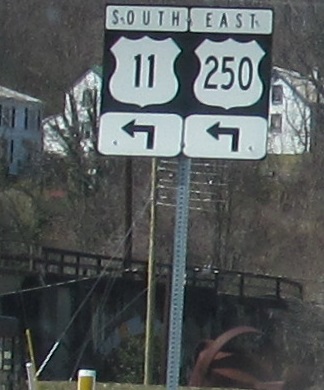
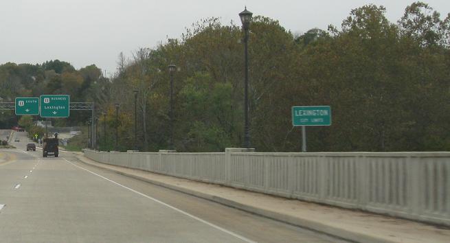
Business US 11 SB and regular US 11 NB on either side of Staunton's US 250 duplex. The last photo, courtesy Lou Corsaro, zooms out from mine for a clearer view and stretches to include another cutout. Other photos from here are on the US 250 page, accessed via the big link below.
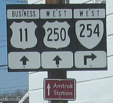
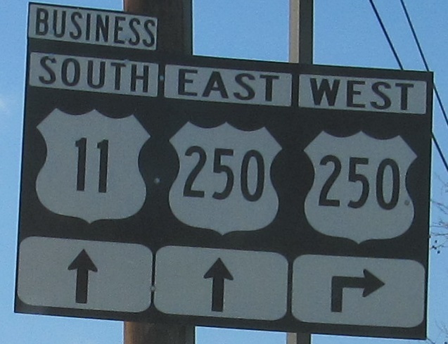
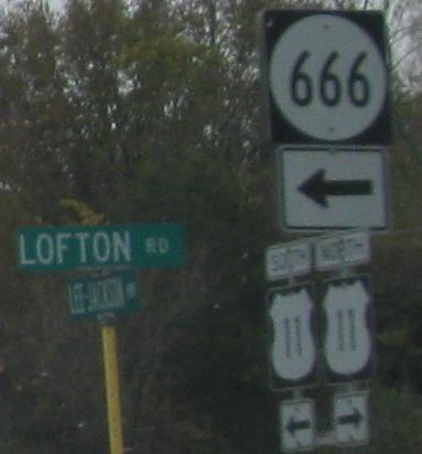
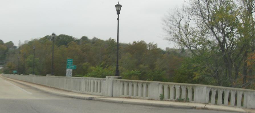
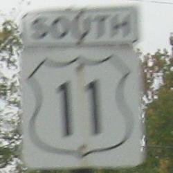
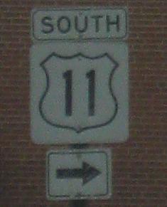
US 11 SB carries VA 254 WB to US 250 on the east side of Staunton, where no two signs look alike.
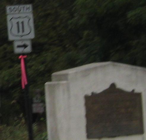
By 2013, this was the fate of the cutouts. I has a sad.
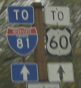
And just when I thought I was free of the yellow poles and mini-shields...
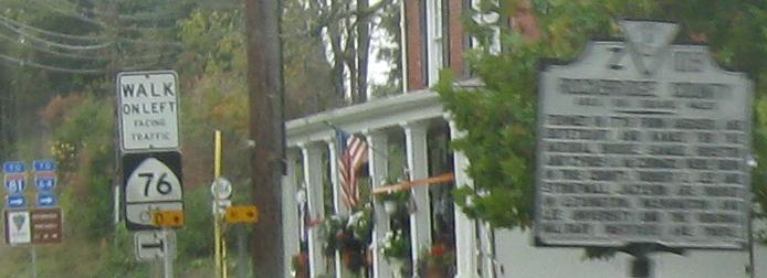
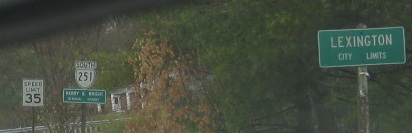
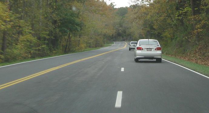
SB from Staunton toward Natural Bridge, penultimate photo courtesy Lou Corsaro as VA 251 begins and US 11 turns left. Of course, Natural Bridge is in Rockbridge County. The I-81 shield defies my attempt to put an age on it, because while it's the same proportion as early Interstate shields, it's somewhat larger at what looks like 24" tall, and maybe 27" or 28" wide. The last scene reflects the days when US 11 was a "suicide highway," with a center passing lane that could be used by either direction of traffic. Those are gone now throughout Virginia and the rest of the South, leaving alternating passing lanes in many places.
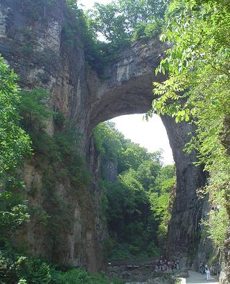
The infamous tourist trap known as the Natural Bridge, courtesy Lou Corsaro because I'm not paying money just for this. It has some geologic value and equal roadgeek value, since US 11 traverses the top of it. With the tall green fences up there, you can't even tell what you're doing when you drive across on the highway. Heaven forbid you might be able to see into the tourist schlock.
Here I am driving on top of it and then getting away SB. Somehow, I don't think the site deserves a less blurry photo, because any natural charm has been sucked out of it in an attempt to fleece the innocent and stupid.
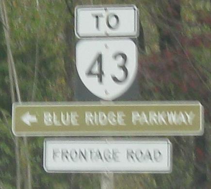
NB on and WB at former US 11, now just a frontage road for I-81, at Arcadia Rd. By the time you get to VA 43, you're already back on US 11, so there's no reason to have used the frontage road (unless you like old alignments).
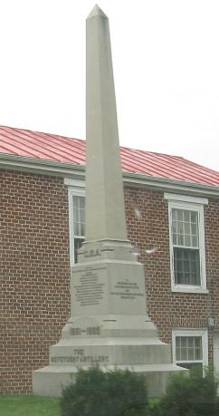
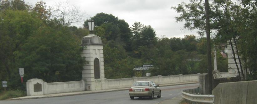
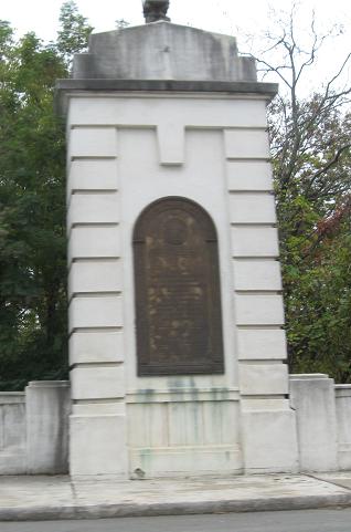
Here's what you find in Buchanan - civic pride and the Rebel spirit. There's also an old bridge, but you'll have to see VA 43 for that (big link below).
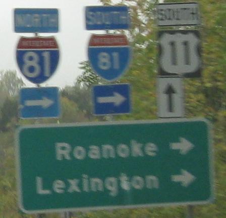
Starting north of Roanoke in Hollins, and you're in the Roanoke city limits by the second old sign (since it matches all the other city-maintained signs). The overly white and non-cutout I-581 shields, another Roanoke staple, are at VA 101. Click that link to find even more.
Southbound into the center of Roanoke. The extra-bold standalone shield appears to unfortunately be permanent, sorely out of place among the others. The rightmost BGS somehow survived the replacement of the other two, and I sure don't mind.
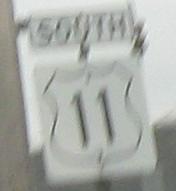
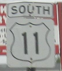
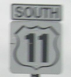
 Courtesy Lou Corsaro, taken by Weill Casey.
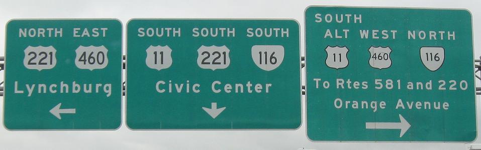
SB and NB on the other side of the US 221 concurrency, which you can visit via the big link below.
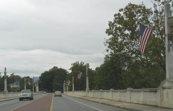
Crossing the Roanoke River on Memorial Ave., continuing south to Grandin Rd. where US 11 turns one of many times between Roanoke and Salem - in fact, Salem is slightly north of Roanoke, so you're much better off following Alternate US 11 along US 460 than heading south and north again on mainline 11.
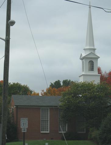
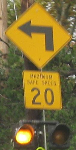
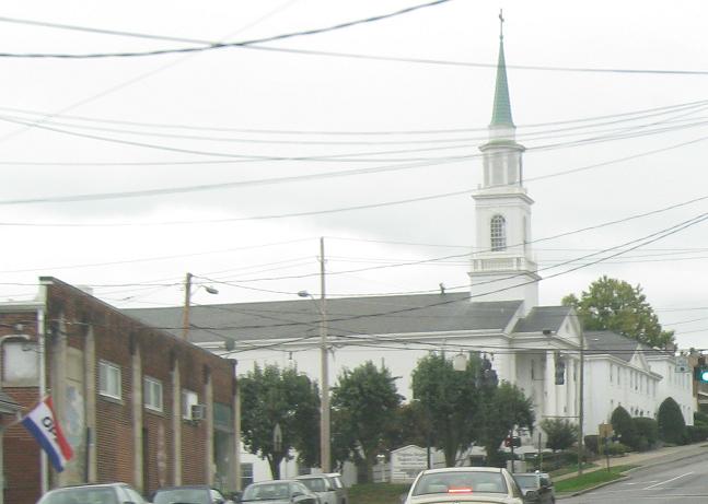
Finishing my trip through Roanoke with its dozens of non-cutout shields, past the Unitarian Universalist Church and onto Brandon Ave. with an old curve advisory sign ("Maximum Safe Speed" being archaic now).
Continue south on US 11
Back north on US 11
Onto US 250 and US 11/250
Onto VA 43 and US 11/VA 43
Onto US 221 and US 11/221
Onto US 460 and US 11/460
Back to US 11 main page
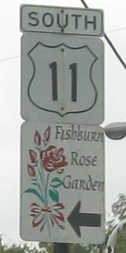
Onto VA 254
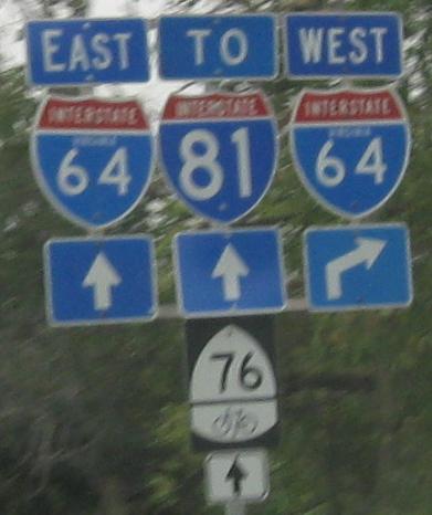
Onto I-64
To US 60
Onto I-81
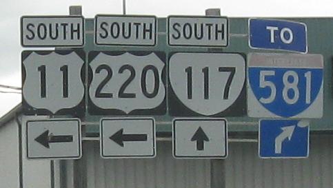
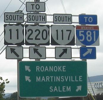
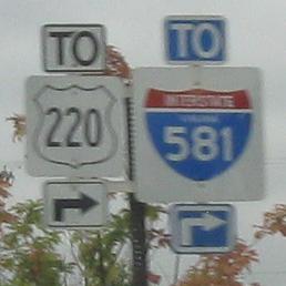
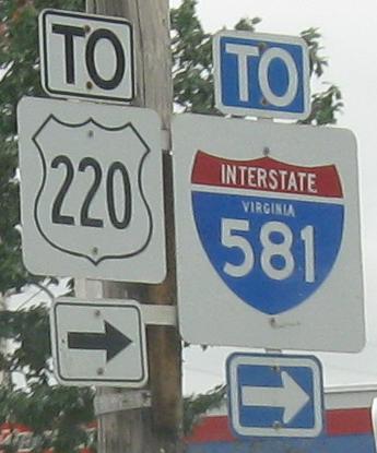
Onto US 220
To I-581
Back to Virginia Roads
Back to Roads