Tasmania Roads - King's Br., Launceston
King's Bridge, Launceston


You'll want to approach King's Bridge by walking northeast through Cataract Gorge like I did, because this is the original 1864 side of the bridge. (Okay, the plate went up in 1863.) And you get unobstructed views.


The north side trail passes by the old bridge toll house and exits at a period canopy onto Trevallyn Rd., which crosses King's Bridge.

This plaque explains what I said above - the west half of the bridge was opened in 1864, and 40 years later they decided they wanted to widen it, so they shipped over an exact replica and joined them. You can see the central ribs in a few photos on this page. Well, those are actually two outer ribs face to face.


Facing south along the west side of the bridge. The 1863 plaque is identical on both sides, but pavement obscures the bottom.


Facing south along the east side of the bridge, the "duplication".

Looking northeast across Launceston at Splitters Tier in Prossers Forest Reserve.

Looking north at the old wall supporting Trevallyn Rd.


More views of the toll house as I walk south to complete my eastern Cataract Gorge loop.
One last look back northeast on my return trip.
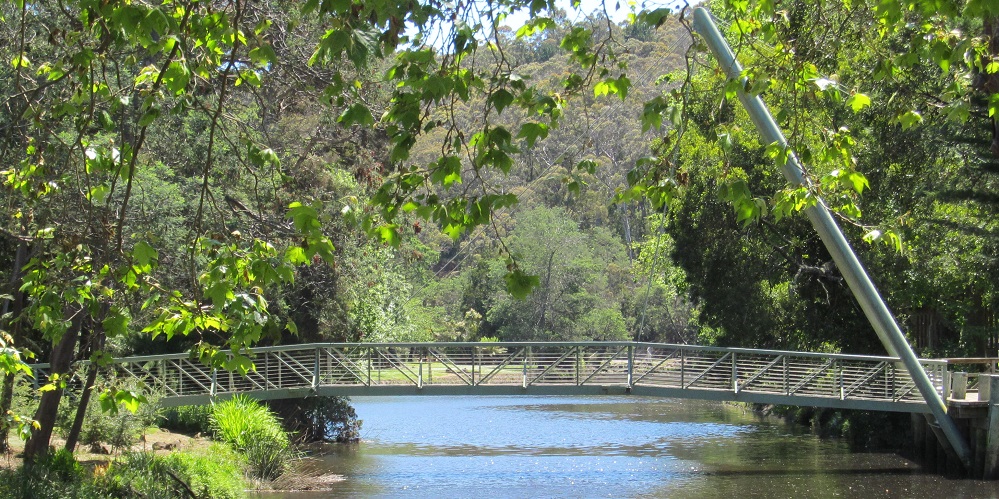
Walk west to Alexandra Suspension Bridge
Explore Cataract Gorge
Back to Tasmania Roads
Back to Roads