Tasmania Roads - A10
A10
All photos were taken northbound.


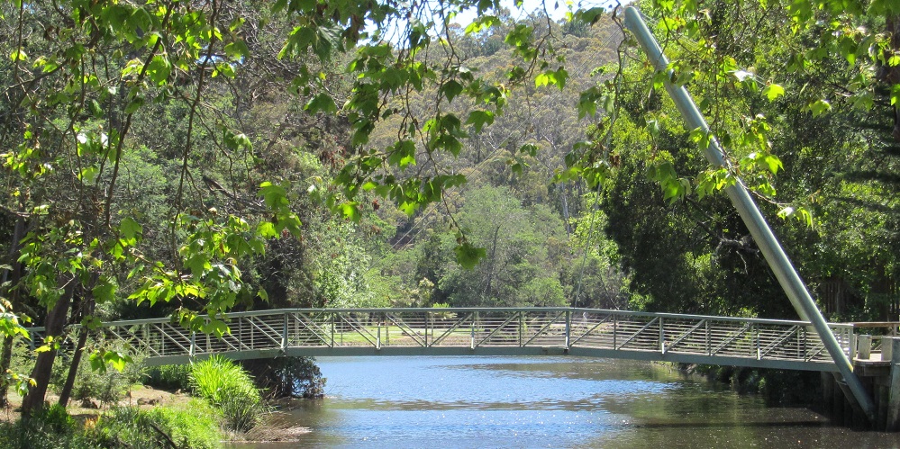
The frosty old sign is in Lawitta and the bridge is over the River Ouse.


Crossing Tarraleah Canal #1 at C603, A10 used to come to a T intersection where it turned right and C603 turned left (or their predecessor roads/routes). This is the old what-became-A10 along the canal, capped with a look back west at the whole alignment.


Approaching Tarraleah and its Power Station, another old alignment pops out that went through town while A10 curves left and bypasses it.


A10 climbs into Tassie's highlands with the Nive River and crosses it twice. The first photo is at the Tarraleah Power Station, and the other two are north of B11.


Commemorative cairn past Gormanton near Horsetail Falls.

30 years ago, you could pull your camper into Queenstown on Driffield St. Not sure if it still applies.

I heard you like cairns. This one's at B24.


Photos continue all the way up to just shy of Somerset, where A10 ends.
A10 Non-Roads
Back to Tasmania Roads
Back to Roads


