South Carolina Roads - US 17 - Charleston
 , Charleston
The ugly chipmunk shield above, courtesy Lou Corsaro, is at the beginning of I-26, which now multiplexes with the route that ends it thanks to reconstruction of the roadways on the south side of the Cooper River.
 NB nearing Charleston, also from Lou.
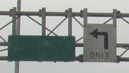
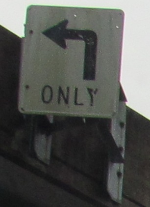
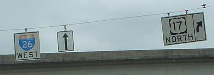
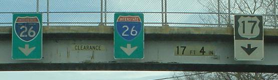
SB at that interchange. Let's just keep adding more arrows!
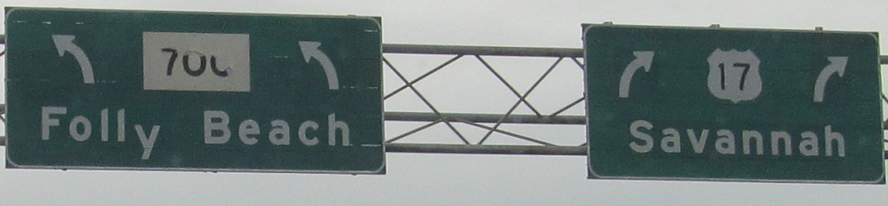
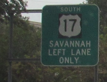
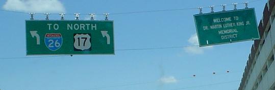
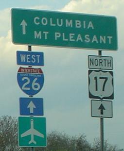
Heading south out of Charleston, Savannah is already a control city despite being over 100 miles away and in a different state. These are the left and right sides of the same gantry.
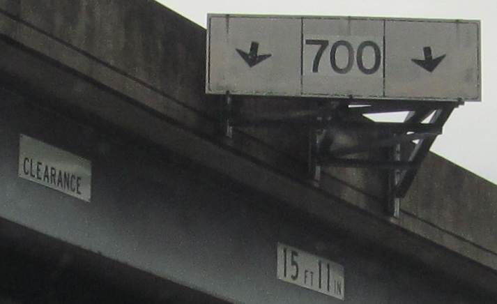
Not quite an LWS, more an extended shield, as the newly minted SC 700 WB crosses under US 17 and prepares to meet SC 171.
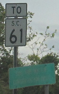
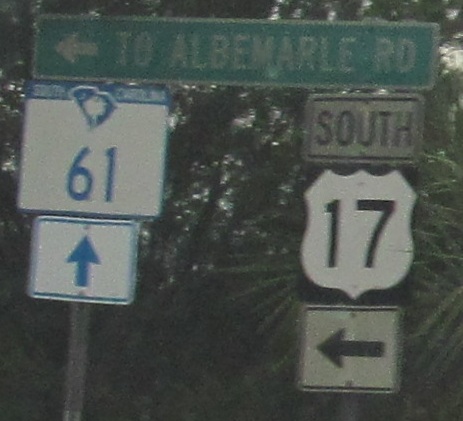
US 17 SB keeps the old state shield and LGS. The driveway exiting median businesses at the same location has the SC 16 shield replaced with the new style, but the other signs survive.
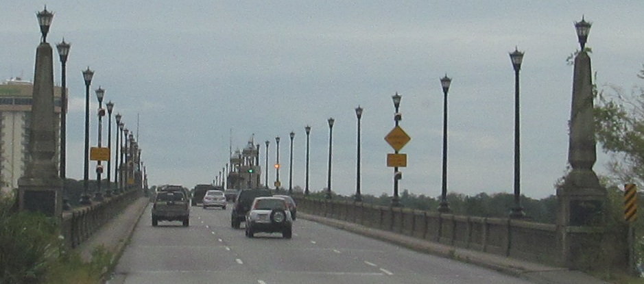
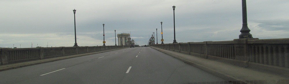
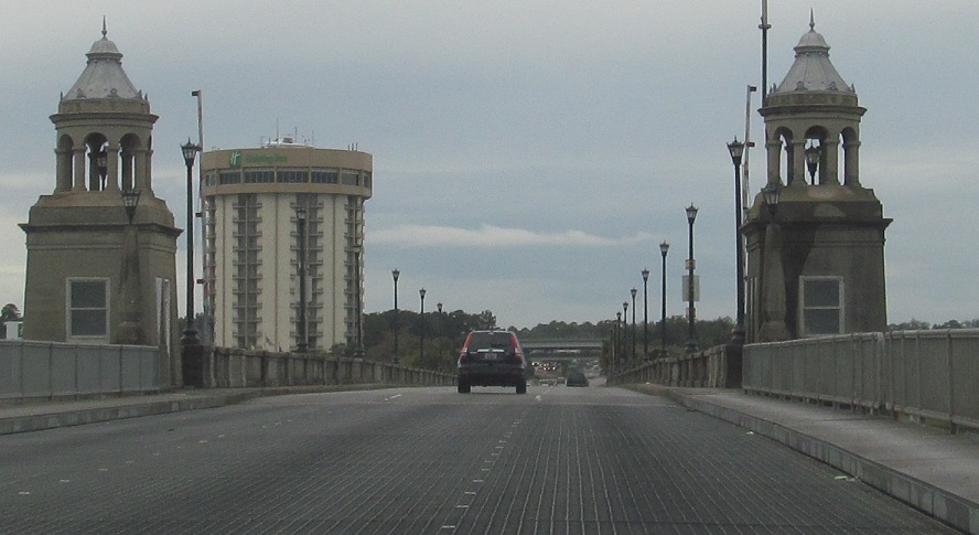
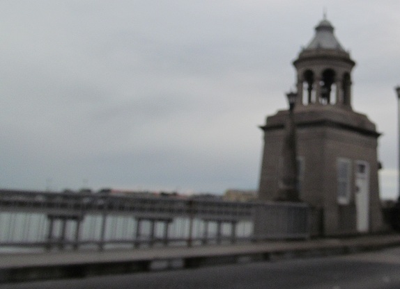
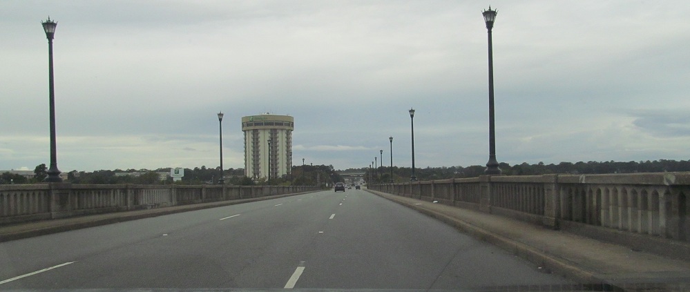
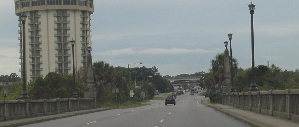
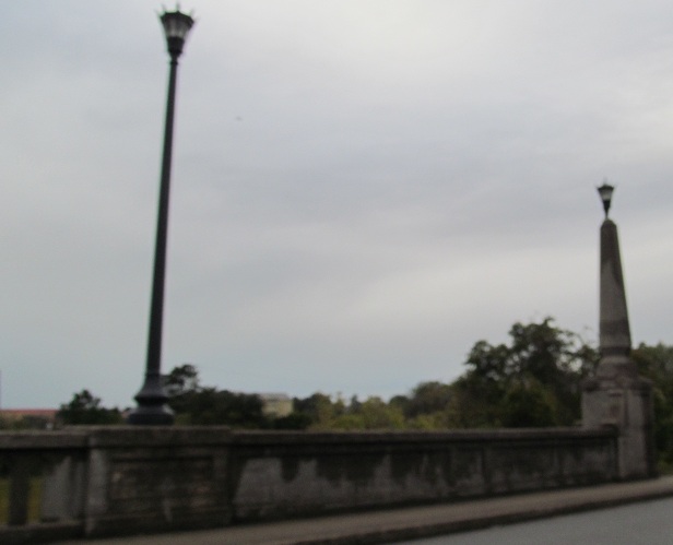
The southbound lanes of US 17 cross the Ashley River Memorial Bridge. I would guess this originally carried both directions of traffic.
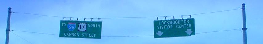
Now on the NB side entering Charleston, courtesy Lou Corsaro, at Lockwood Drive, which is SC 30 to the right (but signage begins in earnest across the Scarborough Bridge). The order of the shields on the left should be switched to avoid the confusion of "To I-26 and US 17 North" versus the correct "US 17 North to I-26."
NJ-style shield, southbound, same spot. Really, the left two lanes are the overpass of Lockwood, not just the far left lane.
All remaining photos are courtesy Lou Corsaro.
Northbound state nameage.
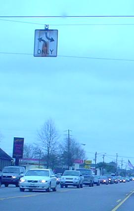
Very old style for this center turn lane sign.
Further west, still WB on Meeting St., now exactly at US 17 NB. These overheads are old (ooh state name), but not as old as... mmmm... the above shield... ahhhhh.
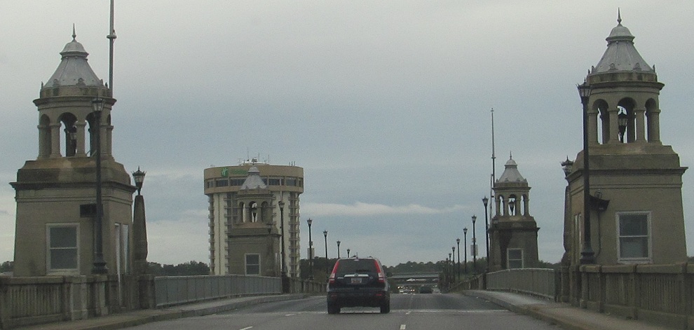
Looking north from Meeting St. where the viaduct to the original cantilever bridges once stood.
The shields made sense when US 17 continued past I-26 onto the old bridges, but now they stay together until the new bridge. Gotta love 'em anyway.
A new assembly with a state-name shield, north of Meeting St.
On Sheppard St., which now acts as a left-exit ramp for traffic from I-26 EB to US 78, albeit just after I-26 ends into US 17 SB (and thus appropriate for this page). Before the Ravenel Bridge opened (and when this photo was taken), this was the left-exit ramp from US 17 SB, which entered on the left side of I-26 instead of the right.
Ugly construction shield at the beginning of I-26, which now multiplexes with the route that ends it, as I explained above.
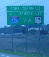
SB entering Charleston at the foot of the old Grace Bridge, and thus this sign is now gone. US 17 SB traffic should have already used the demi-loop I-526 to I-26 if actually heading (north)westward.
Continue south on US 17
Continue north on US 17
US 52 and Spur US 52 with US 17 bridge photos
Spring St. with US 17 shield photos
Alternate US 17
Back to US 17 main page
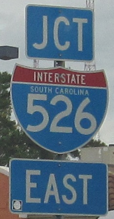
Onto I-526
Onto SC 30 (Lockwood Dr.)
Onto I-26
Back to South Carolina Roads
Back to Roads