Rhode Island Roads - I-295 mainline
 mainline
When I-295 was opened north of Exit 6 in the 1970's, a trial dual exit numbering system was implemented. It seemed to have all of the advantages of both mileage-based (you know how far until your exit) and sequential (you know how many more exits) exit numberings, but for some reason it never caught on, and RIDOT gave up on it. The Ohio Turnpike tried this for a time as well.
Older signs from the older section of I-295, showing the remaining NB button copy (all gone now, though). If you combined the second and fourth pictures, you just might have a good sign left; the sign has missing for years, and no idea if the last BGS ever had an exit tab. With the disappearance of the button copy here and southbound (keep reading), RI 51 is only referenced from the surface at RI 12.
The first is on Scituate Ave. EB at Exit 5; Scituate once connected to the rest of itself just to the east, but now a mound of earth sits in the way. The second is just after joining I-295 NB.
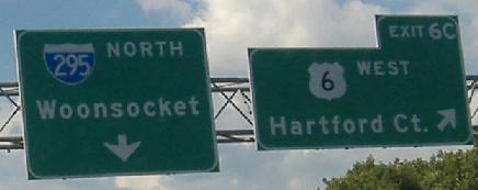
The C ends up a bit crowded here, and for all the theories I have regarding the I-84/US 6 interchange, none really explains why. This is on a C-D road that is carrying US 6 traffic from the aborted freeway to the south. Yes, Exit 6 is Route 6.
LGS, with wrong font, substituting as a BGS.
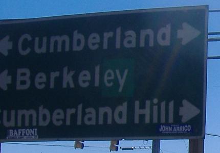
All the northbound signs that have been recently replaced, ending on the Exit 10 ramp with one that should be. Berkeley was misspelled whenever it was put in, likely when I-295 was constructed. You see a forgotten practice here - when meeting a route inside a town, the town is signed both ways.
 And newer signs still have centered exit tabs... this one should be on the right.
Not only is it unusual for RIDOT to give advance warning of upcoming exits, but as you can see the contractor did a terrible job on the sign. It's been there quite awhile as well, so I'm also stunned no one noticed the lack of horizontal spacing and demanded a new one.
Notice that the last one is a new sign but still made to look like the old ones (though the exit tab fails).
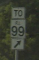
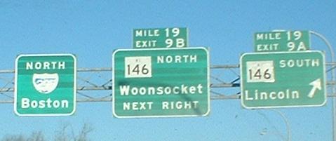
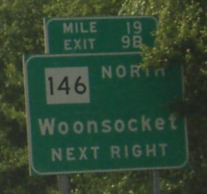
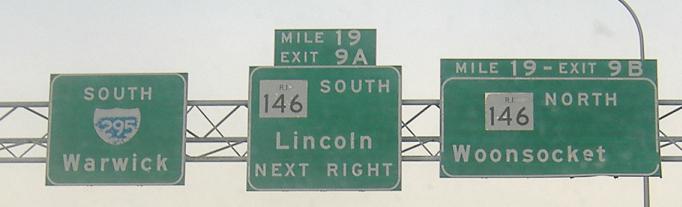
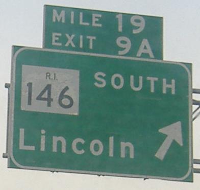
This points down Exit 9B to RI 146 NB. RI 99 is that way and needs some form of reassurance (there, there, poor Route 99), but this shield shouldn't exist.
There used to be an arrow on the right BGS. First the stem came off, then the head, leaving nothing by 2007.
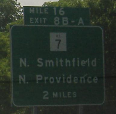
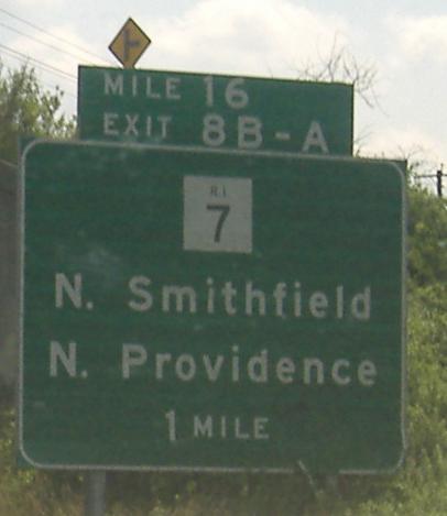
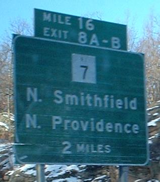
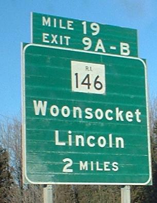
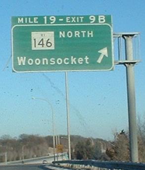
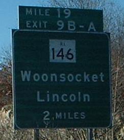
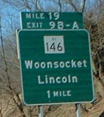
Last photo courtesy Doug Kerr, because my own version didn't come out well. You can see that a few other signs in this section were sunglared into extinction, as well. Also notice the consistency of signage, with 2-mile advances and B-A exits every time.
The last one isn't old, but has a space after the 6. It leads to a C-D road with an immediate offramp to US 6 WB/US 6A EB and a later ramp to the US 6 EB freeway. The immediate offramp was Exit 6, and the freeway ramp was Exit 5, back in the day. These were then consolidated into Exit 6 to build a new Exit 5 to the south at the industrial park, so "EXITS 6-5" became "EXIT 6" with extra space. Thanks to Jason LeMaire for this correction. The US 6 freeway was meant to be extended westward as I-84 toward Connecticut, but the proposed route along the US 6 corridor never panned out and so I-86 from Hartford to Massachusetts was renumbered as the through route, and I-84 became I-384, and people on both sides of the issue continue to complain.
A couple of old signs sneak into the southern reaches of I-295 SB, including a second mention of the town-maintained RI 51.
I-295/US 6 interchange
Back to I-295 main page
South to I-95
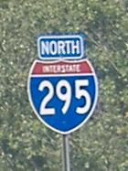
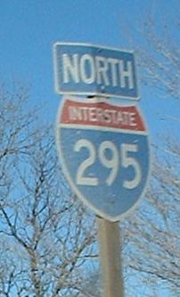
North to I-95 in MA
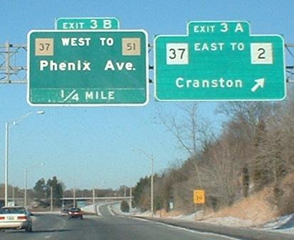
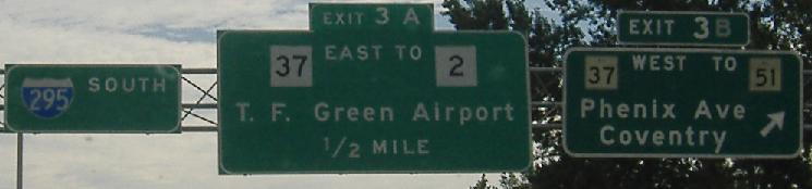
Exit 3A to RI 2
Exit 3 to RI 37
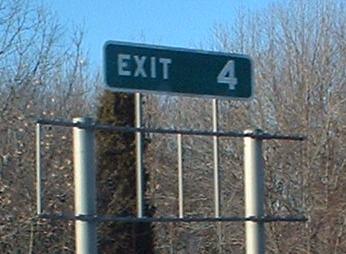
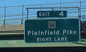
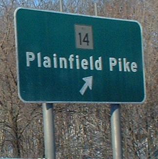
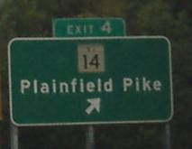
Exit 4 to RI 14, Plainfield Pike
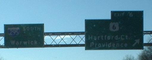
Exit 6 to US 6
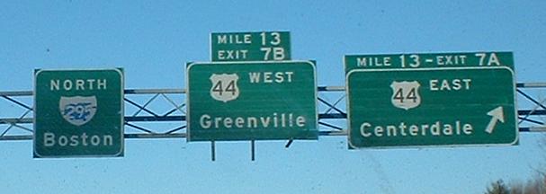
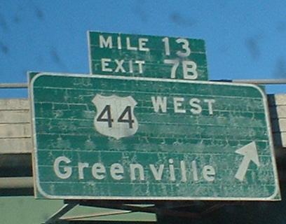
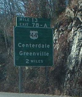
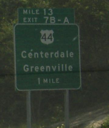
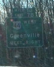
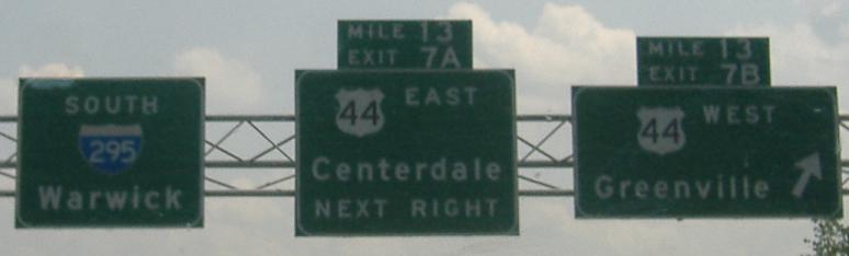
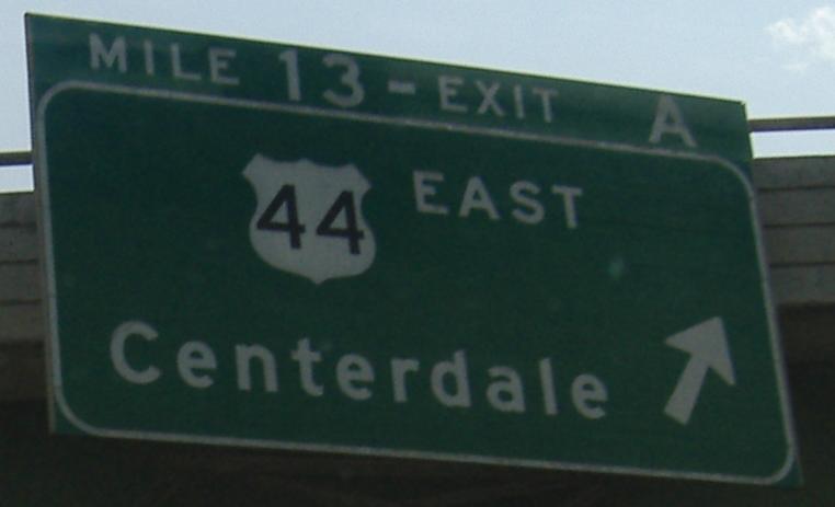
Exit 7 to US 44
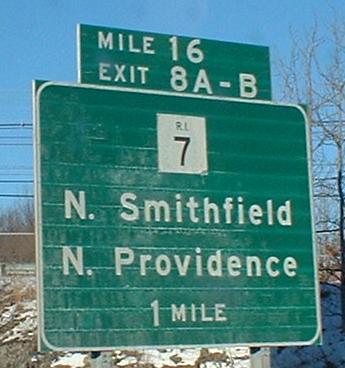
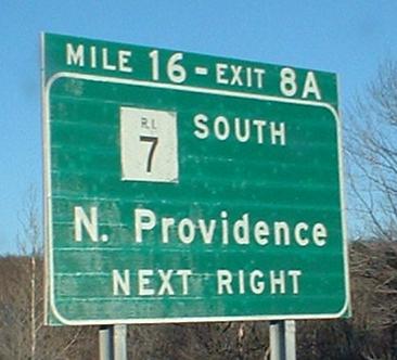
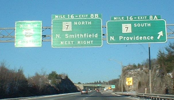
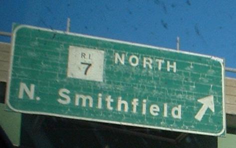
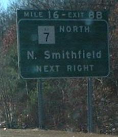
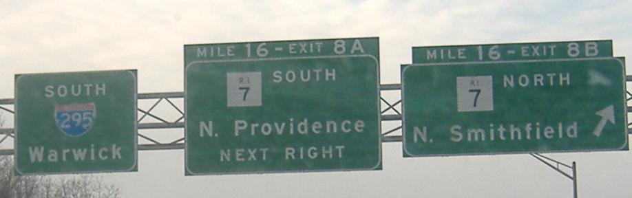
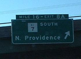
Exit 8 to RI 7
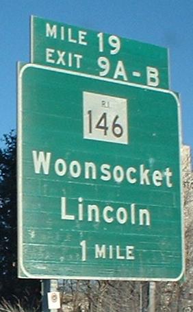
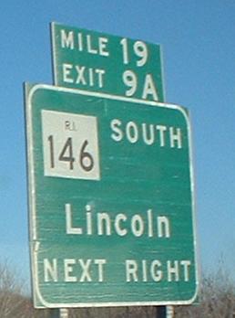
Exit 9 to RI 146
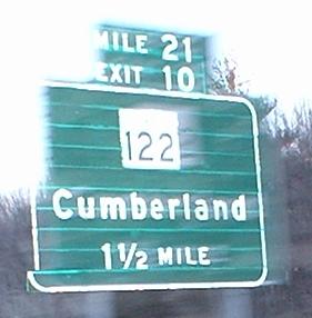
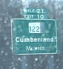
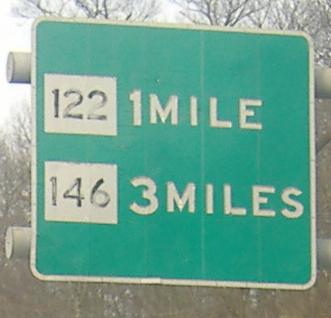
Exit 10 to RI 122
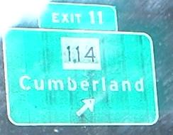
Exit 11 to RI 114
Back to Rhode Island Roads
Back to Roads