Québec Roads - QC 138 - Pont Honoré-Mercier
Pont Honoré-Mercier, QC 138
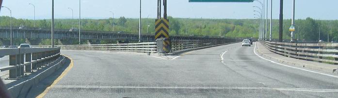
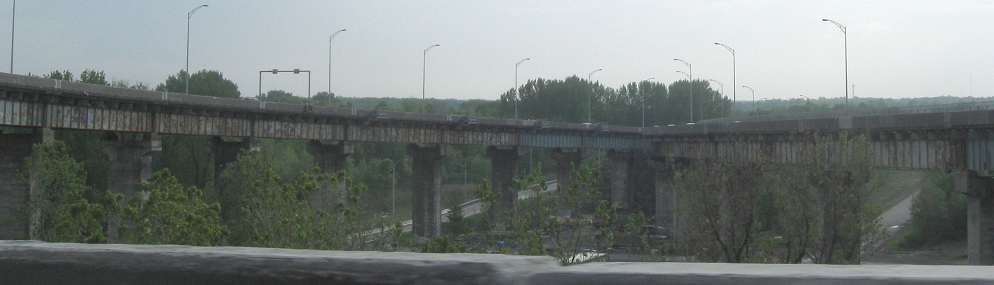
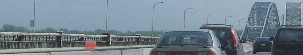
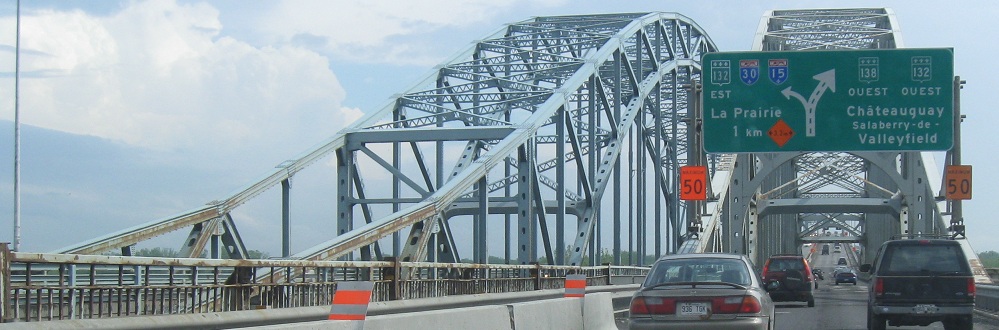
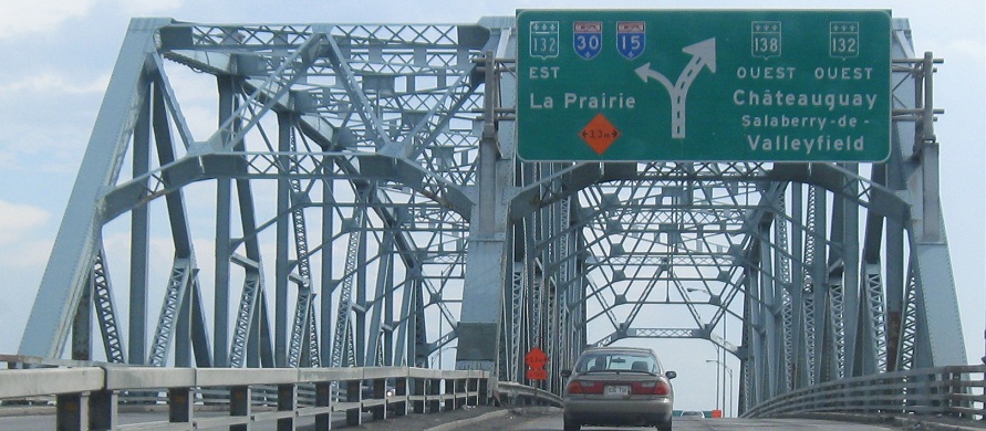
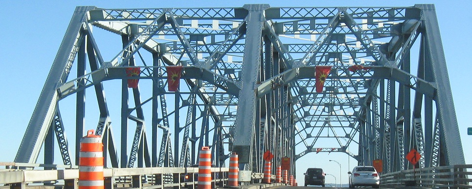
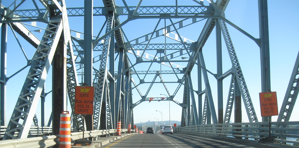
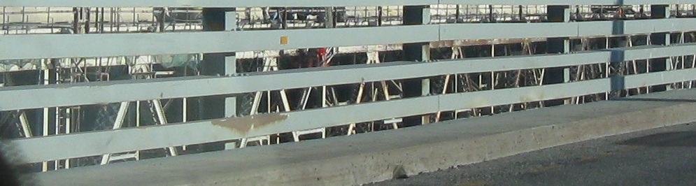
The decrepit condition of the interchange on the south (west) side of the St. Lawrence River, seen heading WB into it and down the ramp to QC 132 SB. It was rebuilt in 1959 to meet the Seaway bridge and has barely been touched since. It did get a new sign for QC 132 with the new wide-style shields that as you can see are much more readable than the old shields that match the ground-mounted variety. In the last photo, looking up at the EB side you see a signal assembly for a lane that could occasionally open as necessary. It looks like it's ready to crash onto the 138 WB-132 EB ramp. (What happened is that all of the approach ramps on the south shore were built two lanes wide - which is fine heading WB because one lane can open into two, but is terrible heading EB because two lanes have to merge into one well before the bridge. I guess if something happens that closes one of the ramps or if one has an extreme backup relative to the other, it could be opened up to the full two lanes?)
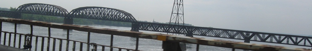
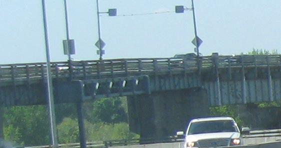
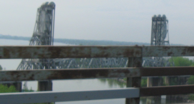
A nice railroad bridge just to the west (QC 138 EB/WB heads north/south here) of Pont Honoré-Mercier, albeit with a boring name (St. Lawrence Railway Bridge). The first two photos look northwest at the south end of the bridge, and the last three photos look southwest as I head south out of Montréal. The last photo is a draw span over the Seaway canal, and I've also captured a mysterious "9" on Pont Honoré-Mercier. Pier number?
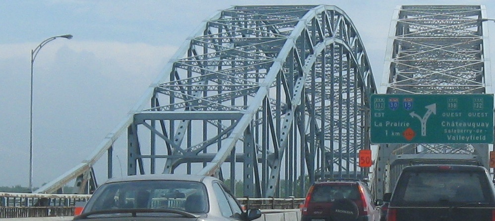
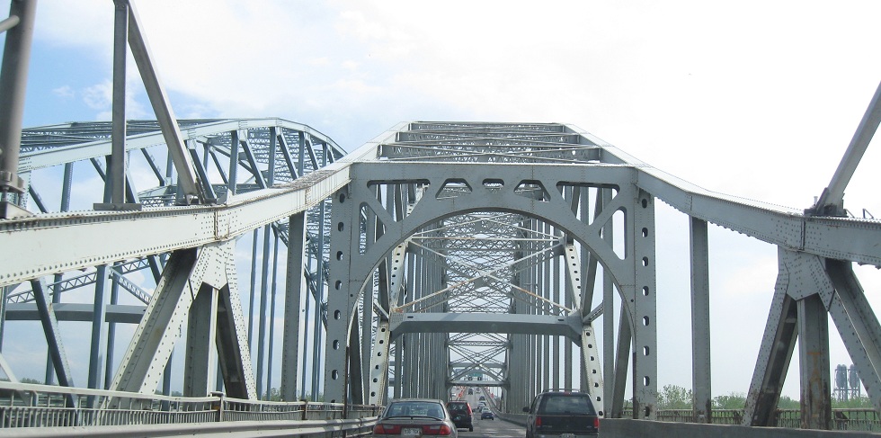
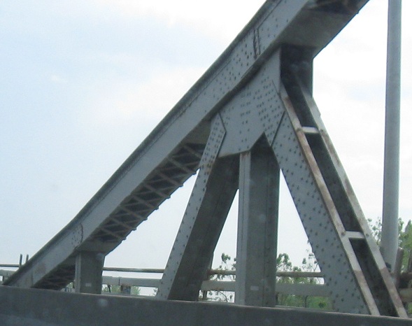
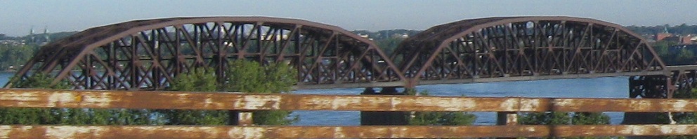
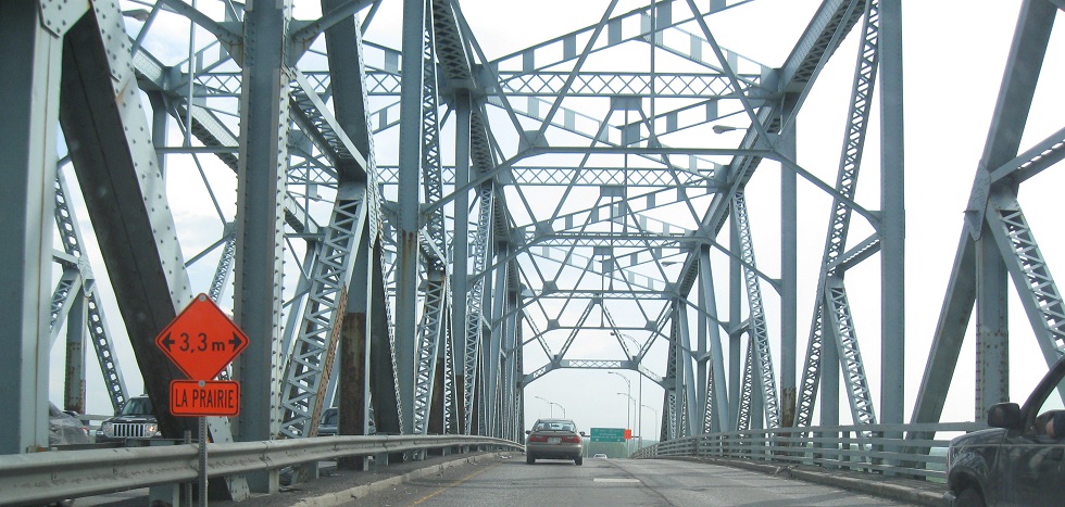
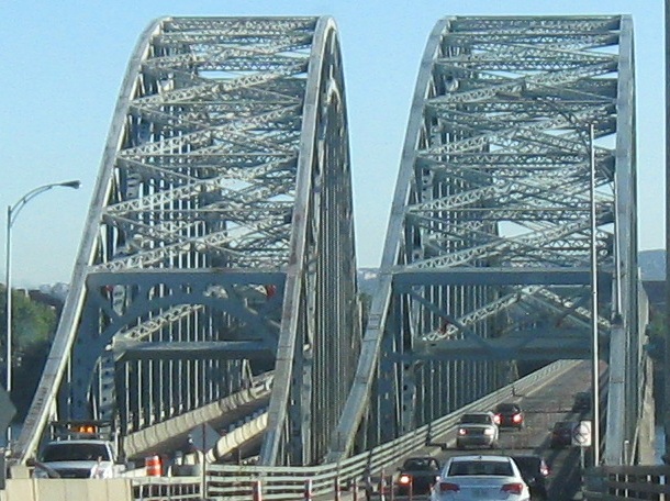
WB across the main twinned span of Pont Honoré-Mercier with a distinctive double-arch, looking very much like the Robert Moses Causeway in New York. The newer EB side is wider but still only 2 lanes. You can see that the bridge continues going up after the main span, which may seem odd until the next set of photos.
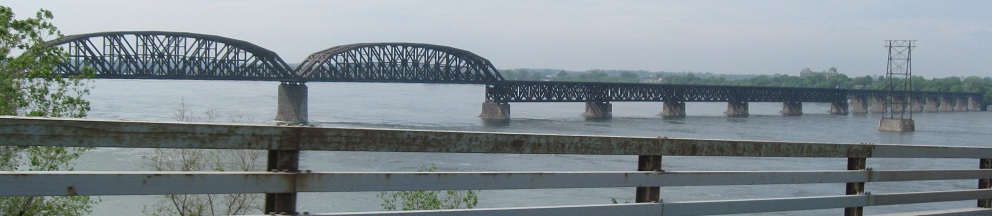
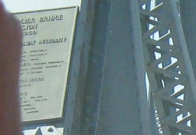
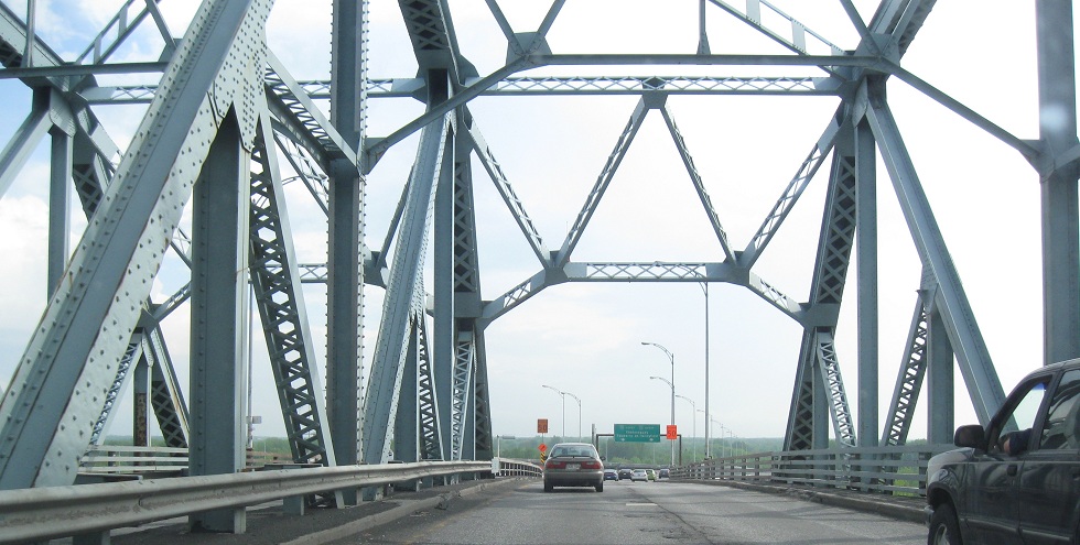
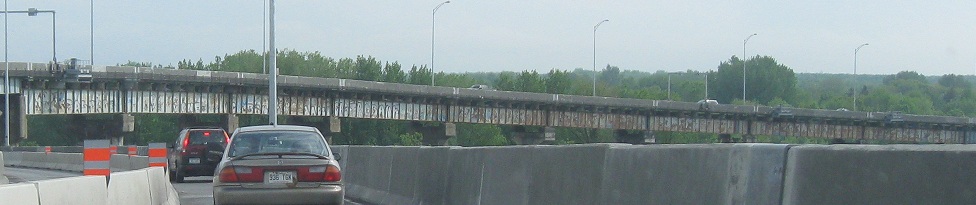
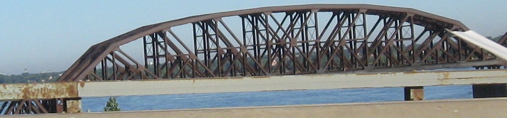
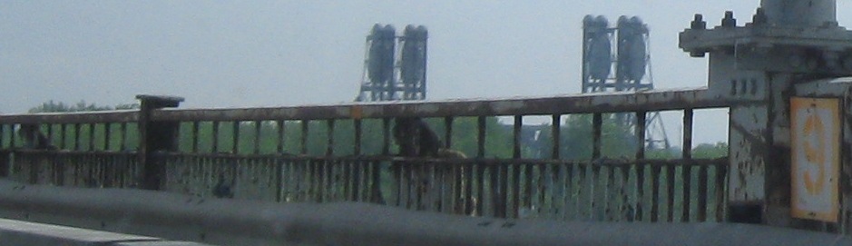
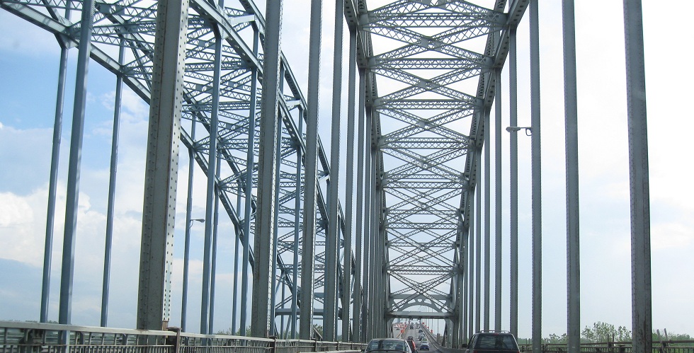
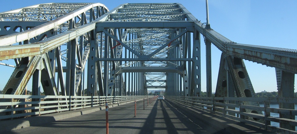
A much less remarkable and shorter but equally trussy second span then looms, over the canal (Seaway) on the south side of the St. Lawrence River, along with more views of the railway bridge. The main span may be longer, but it's lower because there are rapids just north on the river that preclude through shipping traffic. Courtesy Doug Kerr's hand, here also is the plaque on the side of the Seaway span. The main bridge opened in 1934, but this truss opened in 1959 when the canal came around. The Honoré Mercier Bridge Commission (I believe the dates are 1958-1959) was established by the St. Lawrence Seaway Authority. The plaque is probably in English because the Authority is run out of Ontario, but since that province is nominally bilingual, they could have kept the plaque in French out of courtesy.
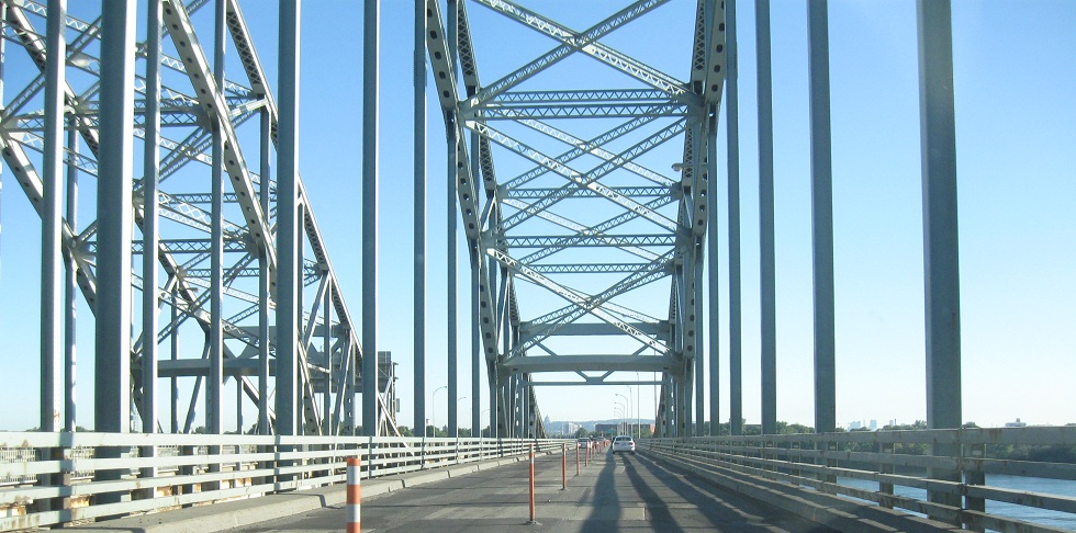
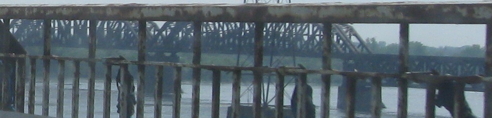
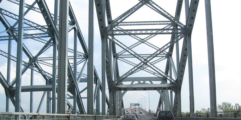
Back EB/north across both spans of the bridge. Because the WB side is older, it has an underdeck truss, as seen in the last photo.
Follow QC 138 west and east of Pont Honoré-Mercier
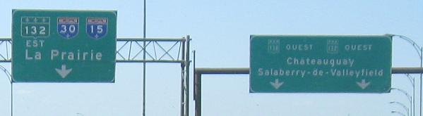
Onto QC 132 and QC 138/132
Back to QC 138 main page
To Autoroute 30
To Autoroute 15
See more of Montréal
Pont Honoré-Mercier on Steve Anderson's montrealroads.com
Back to Québec Roads
Back to Roads