QuÈbec Roads - QC 132 W. of Ch‚teauguay/A-30 construction
QC 132 west of Ch‚teauguay and Autoroute 30 construction
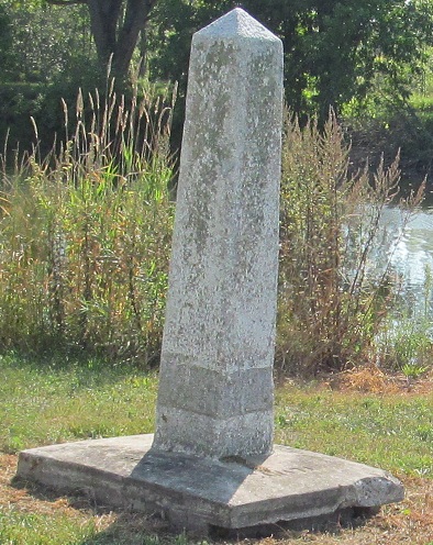
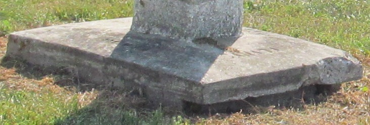
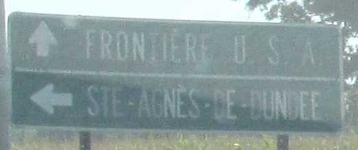
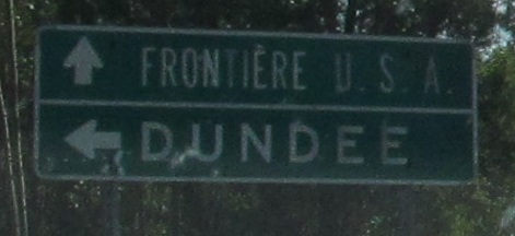
So which one is on the border, the house or the monument? Both are on the northwest side of QC 132. I'd put my money on the monument.
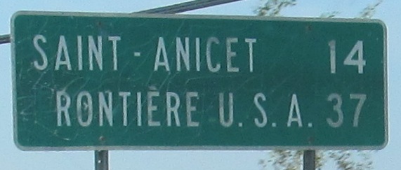
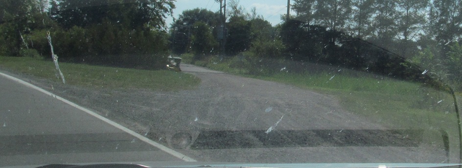
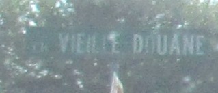
WB to the last turn before the border. The road to the right, for those who can't read French, is Old Customs Way. You can guess where that leads.
The former alignment of QC 132 EB turns at the waterfront from Chemin Larocque to Rue Victoria and comes to Rue Grande-Œle, a bridge out of Valleyfield (I'd call it Salaberry but signs seem to accentuate the last word) that leads to QC 201 and thence to A-20. In fact, I believe it's former QC 201.
East of there, still on old 132.
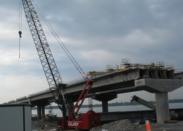
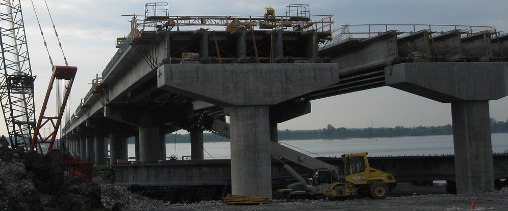
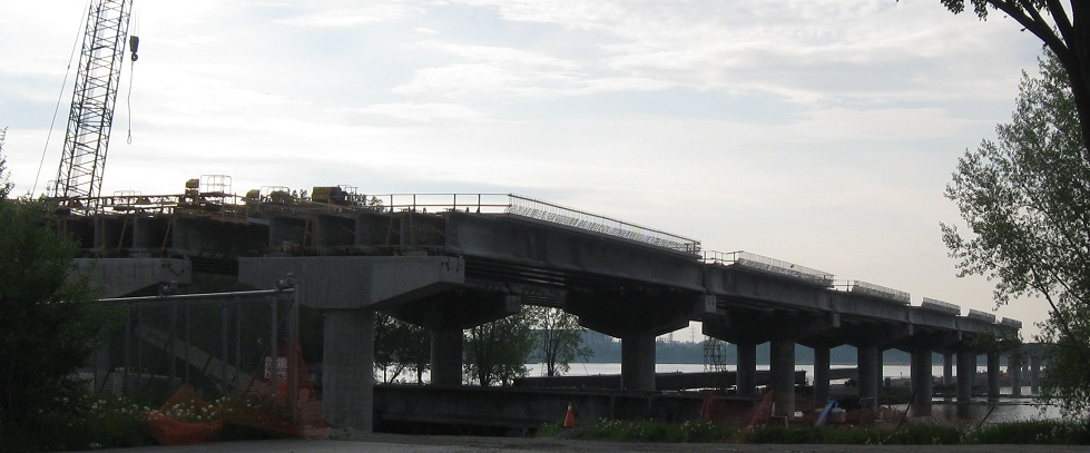
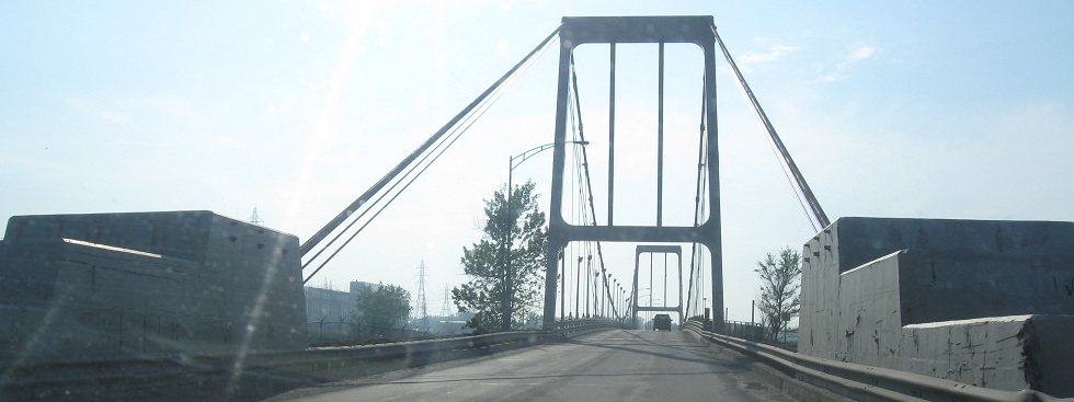
Jumping back to the modern QC 132, this is EB at the future A-30 toll bridge across the Fleuve St-Laurent. It will be only the second toll road of any kind in QuÈbec since the last Autoroute tolls were removed, matching A-25 north of MontrÈal.
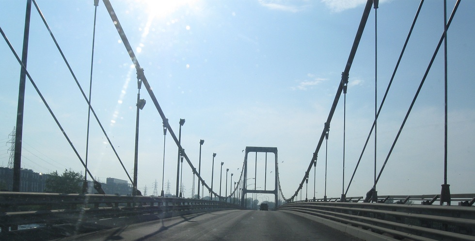
WB to the same spot, starting with a couple of views to the left and then panning to the right across the river. Unlike on the north side, QC 132 will remain under the low bridge, whereas Ch. du Fleuve is being outfitted with a new overpass.
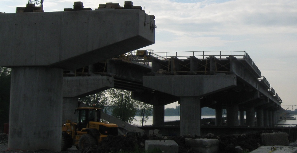
Money shot.
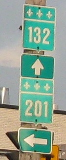
Blvd. Pie-XII, MontÈe Pilon, Rang Ste-Marie, and respectively, NB from St-TimothÈe to Melocheville.
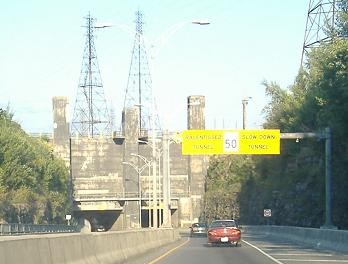
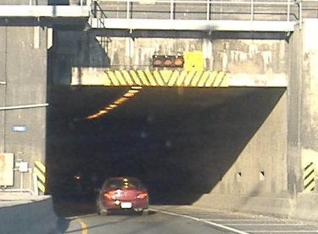
Hydro-QuÈbec sees such danger in the tunnel under the canal part of the canal that it posts the warning bilingually. (Most of Beauharnois Canal goes through the hydroelectric dam, but there is a side canal with locks for canal traffic. You know, because sometimes canals are used by boats.) These photos are EB, and I have the building itself on my Non-Roads page.
And you can click this video to drive through the tunnel WB.
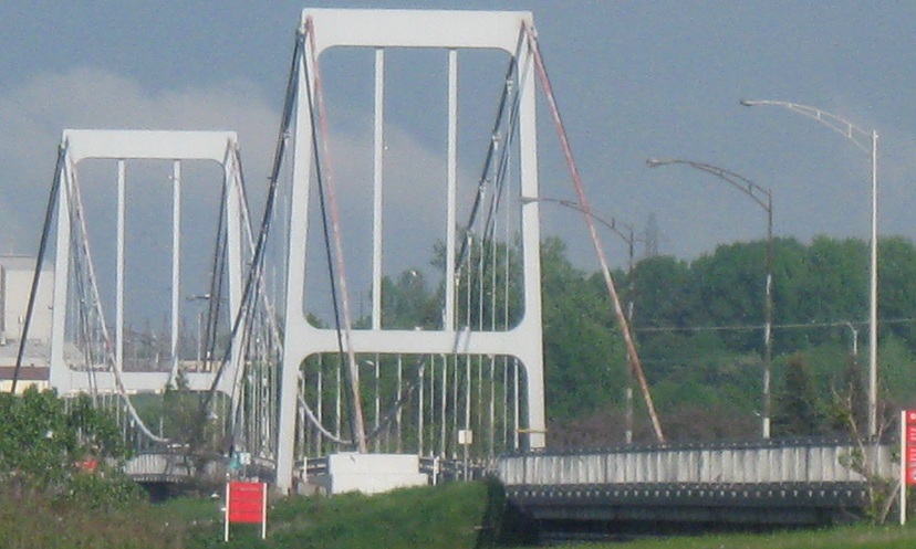
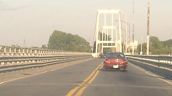
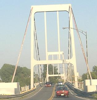
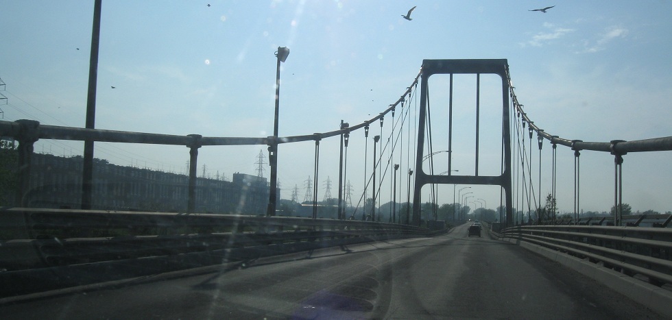
EB crossing Beauharnois Canal. QuÈbec is full of old bridges that are much more structurally complex than they needed to be for the bodies of water they had to span. But hey, the bridges are still functional.
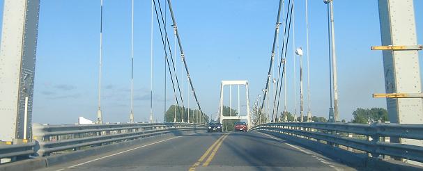
WB across the same bridge.
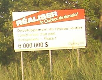
EB up to the Ch‚teauguay bypass where Autoroute 30 starts again. A-30 will realise the QuÈbec of tomorrow, for only C$6 million - that's about US$25 million by the time you read this, and rising quickly. The last two photos are at QC 138, where QC 132 hops a ride back to the waterfront and its old alignment (still very easy to follow - Old Ch‚teauguay Road and Old Malone Highway - and see big link at bottom) and A-30 rises out of the dust. QC 138 will in the future be an interchange from A-30, which is why the road suddenly widens here (enough room for a diamond); QC 132 will be the next exit west, and A-30 will parallel 132 back toward Salaberry-de-Valleyfield.
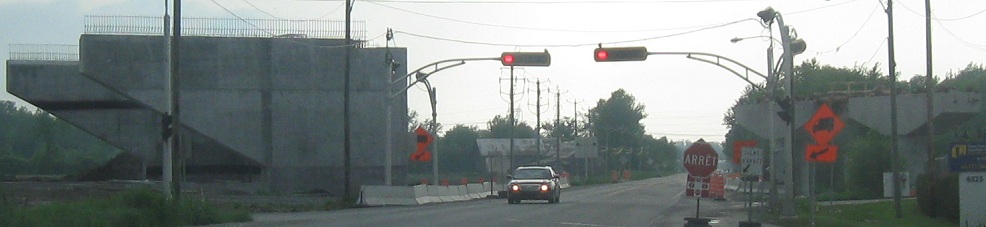
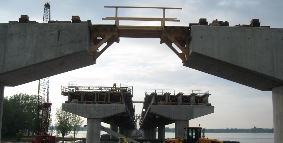
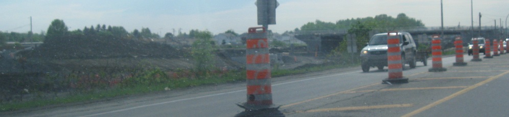
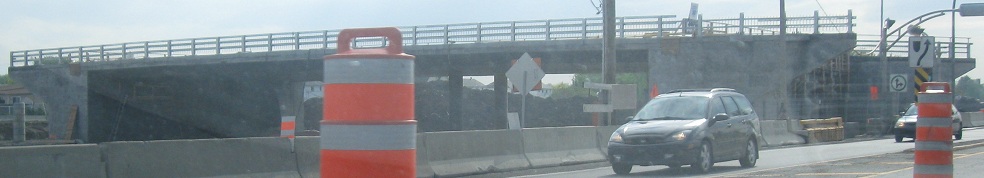
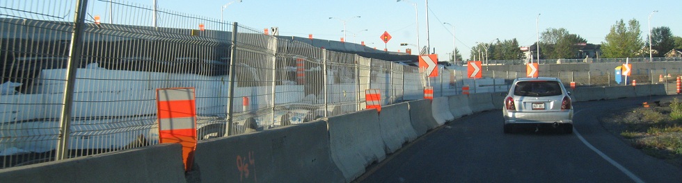
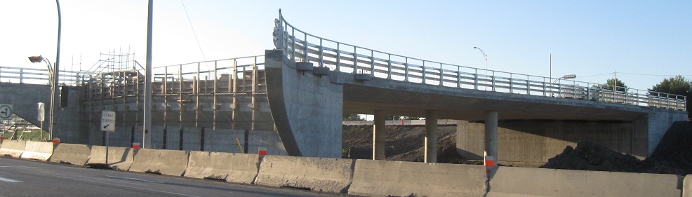
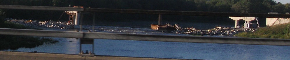
A few years later, WB in May 2011 at the ongoing construction to extend A-30 to the west. In the last photo, A-30 peels away a bit to the south to cross RiviËre Ch‚teauguay.
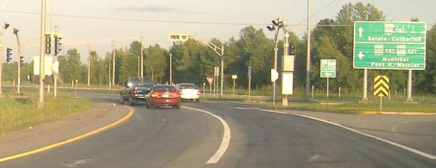
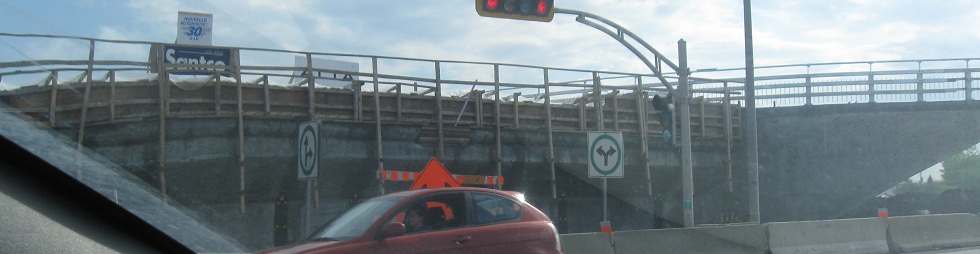
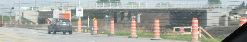
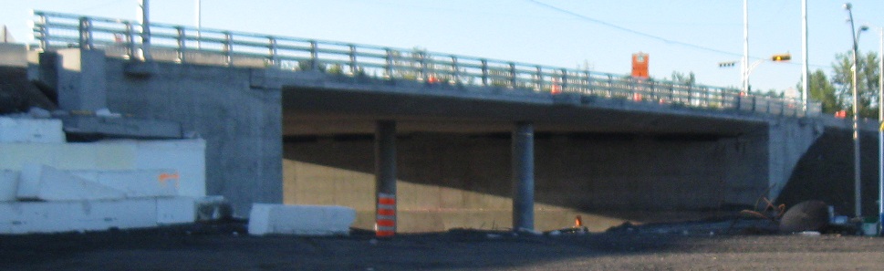
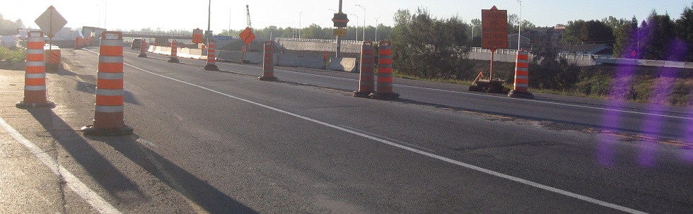
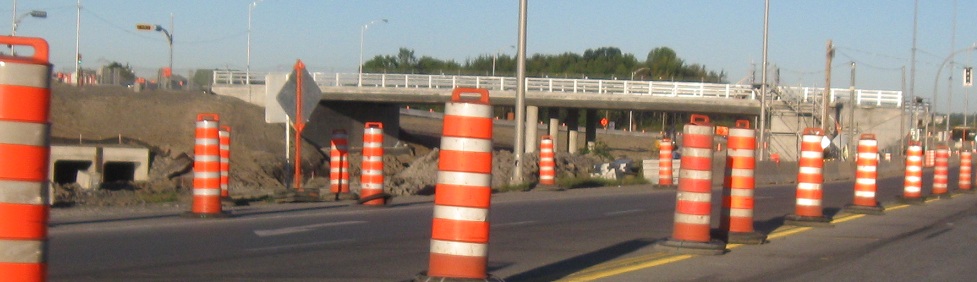
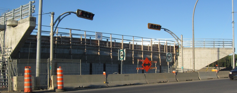
Things have advanced quite a bit by September 2011. Instead of junctioning A-30 at grade level, QC 138 now crosses the overpass, and QC 132 comes down onto a frontage road pair, similar to the final configuration here.
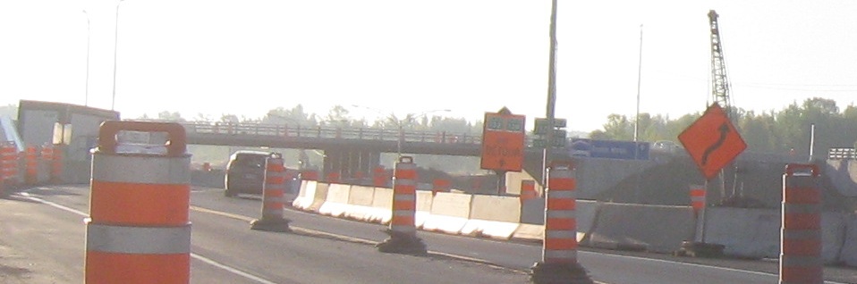
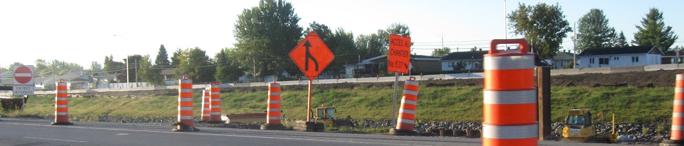
This will either be a temporary merge from A-30 WB into QC 132 during construction, a permanent slip ramp on the far side of QC 138, or will be reversed into the WB onramp from QC 138 to A-30.
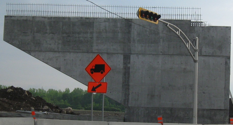
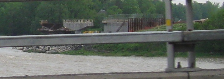
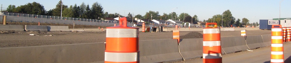
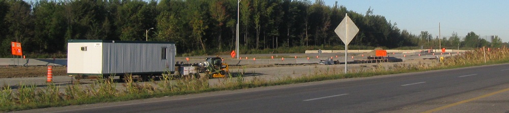
Continuing west past Blvd. St-Joseph and looking south at the new freeway taking shape. The banner on the future overpass says "Nouvelle Autoroute 30 CJV," a construction consortium created for this effort.
Similar to four months prior, A-30 again peels away to the south.
 East of there, still on old 132.