Pennsylvania Roads - PA 611 - N. of Doylestown
PA 611 north of Doylestown

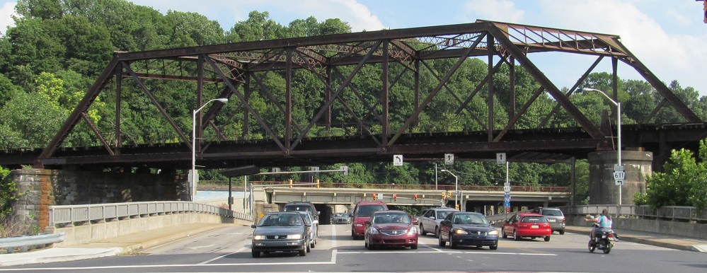
North Smith Ave. NB at PA 611 on the south shore of the Lehigh River (gee, what is that famous valley named after?). PA 611 SB is a right turn here, and 611 NB is a right turn a long block later, across the Lehigh. Since 611 follows the Delaware River so closely, it comes in at the mouth of the Lehigh on both sides, like the nose of a face, and the tip of that nose is the bridge across the Lehigh. Smith Ave. is the end of a long path from I-78 Exit 75.
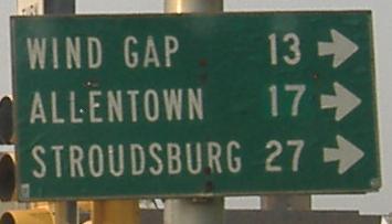
PA 611 NB, turning right on the north side of that bridge. Wind Gap is up old PA 115 (Sullivan Trail) and Allentown is via US 22, so the removal of this sign is not a surprise.
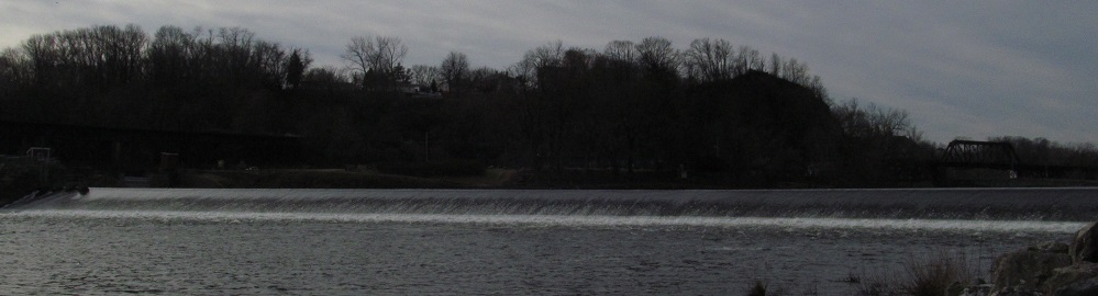
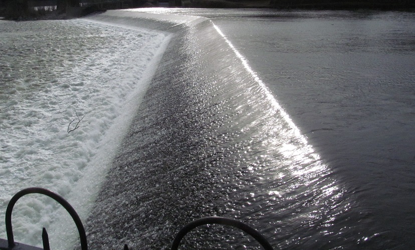
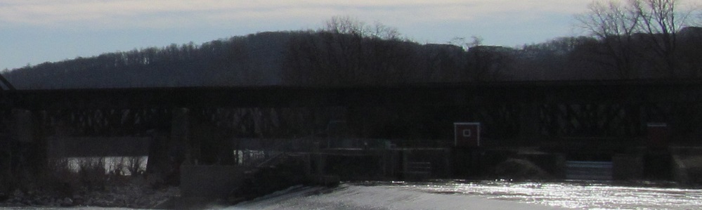
The Lehigh River spills over this low dam to meet the Delaware River in Easton. But that's not all you'll see from this point.
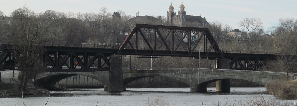
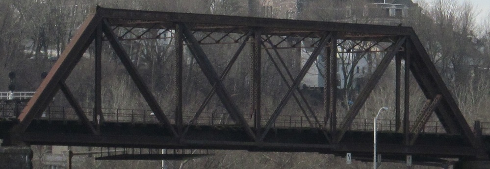
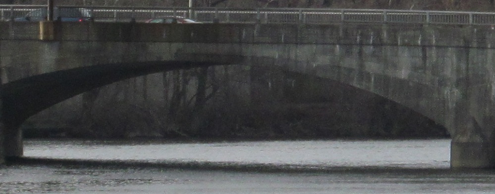
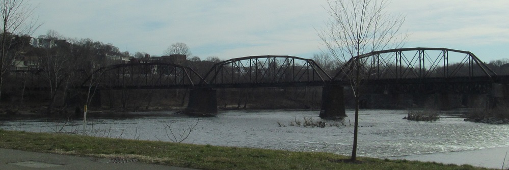
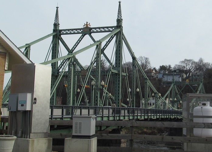
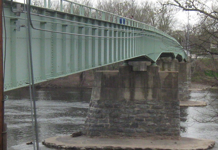
First, here's a prime view of the concrete arch PA 611 bridge across the Lehigh River, crossed at a skew by a railroad truss, looking southwest from the Easton waterfront.

PA 611 SB leading up to the Lehigh River bridge, showing just how skewed the railroad needs to be to cross both the river and PA 611 when those are at 90 degrees to each other.
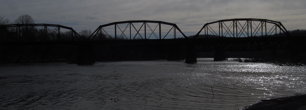
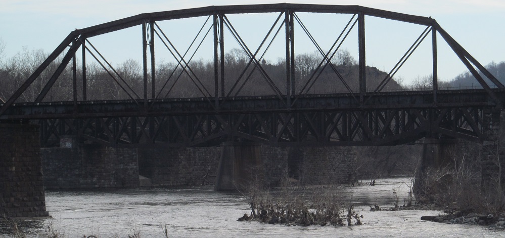
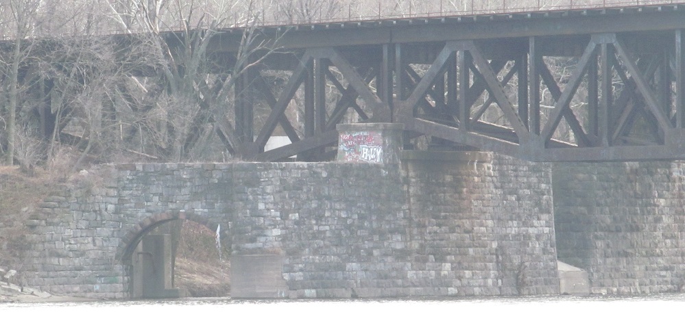
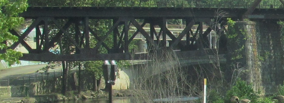
Instead of looking up the Lehigh River, turn left and see the multiple railroad bridges crossing the Delaware River. The through truss is the same line that crosses over PA 611, while the sub-deck truss is the bridge behind it that still carries an active track (of two). There's another sub-deck truss bridge behind that one with no remaining active tracks, but still intact otherwise. The archway in that one leads to dry land and I have no idea what purpose it serves. Maybe it's a drainage outfall?
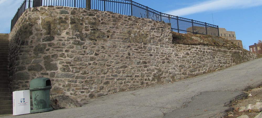
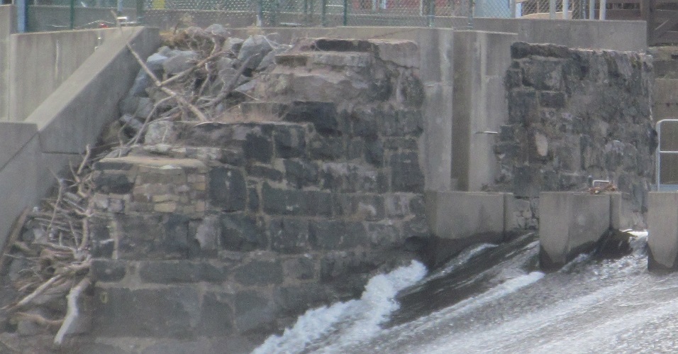
Climbing back up from the water, you may just think this is an old wall, but it's road-related: the original extent of the Easton street grid. When US 611 went through downtown on 3rd St., this was the corner of Ferry and 1st Streets. All that was blown away by the downtown bypass PA 611 now follows on a diagonal.

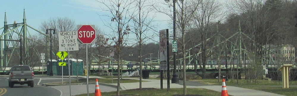

Now looking north and then driving there on PA 611, the green truss suspension bridge is the free Northampton Street Bridge connecting Easton with Phillipsburg, NJ, carrying the original alignment of US 22. The toll US 22 bridge is behind it in ecru.
NB at the Columbia Bridge into NJ, courtesy Doug Kerr, PA 611 exits itself onto the old road (see link below). Back when it was US 611, it occasionally was routed over this bridge into NJ, up the Delaware Water Gap (an expressway once part of US 46, and now part of I-80 west of Exit 4), and back into PA.
Columbia Bridge WB with a unique postal-abbreviation PA shield. Well, semi-unique, because there's one on the NJ side of the bridge. Consistent with the previous caption, this was once US 611 SB.

Another "PA" shield - so I guess they get to be unique together - SB leaving Portland across a bridge that predates state highways and up to the Columbia Bridge. In this direction, the "NJ" shield at the top of the ramp is the correct one.
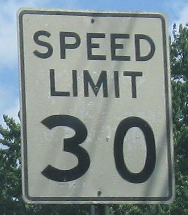

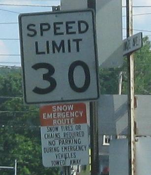
NB and SB entering downtown Portland - if this is a state highway, the speed limit signs should be up to state standards, but these smack of a town job. The old railroad station is just north of the first speed limit sign.
This was originally the only bridge between Portland and Columbia, NJ, carrying vehicular traffic to the former routing of what's now NJ 94 until 1953, when the current toll bridge opened to the south with interchanges on either side. Shortly thereafter, the old bridge burned down, fell over, and then sank into the swamp. Ni!
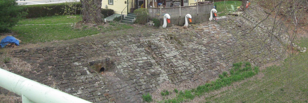
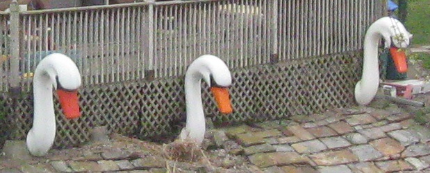
Looking west from the otherwise boring bridge replacement at the PA -side Delaware River embankment, where for some reason, swan heads. Despite the new bridge being just 1,000 feet away, the interchanges make it fairly unfriendly to pedestrian traffic, while the old pedestrian bridge links both downtowns (or what's left of Columbia's). And swan heads.

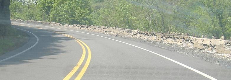

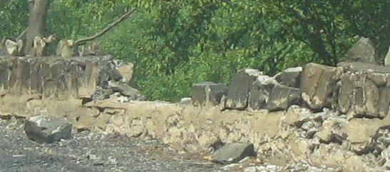
Through the Delaware Water Gap, where PA 611 is still routed on the original highway, apparently the barrier hasn't been repaired since the days when "coupé" had an "é" that actually meant something. To call it old would be like calling dinosaur meat stale. You get the idea. The first photo is of the NJ side of the gap.
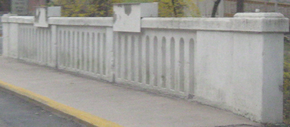
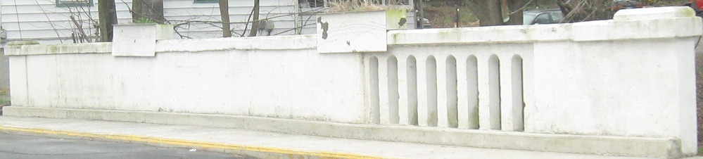
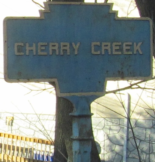
The NB and SB sides of the Cherry Creek bridge in Delaware Water Gap, just south of the Broad St. connector to I-80 EB.
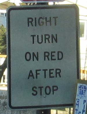
The NB side also comes with old signs for your enjoyment and appreciation.

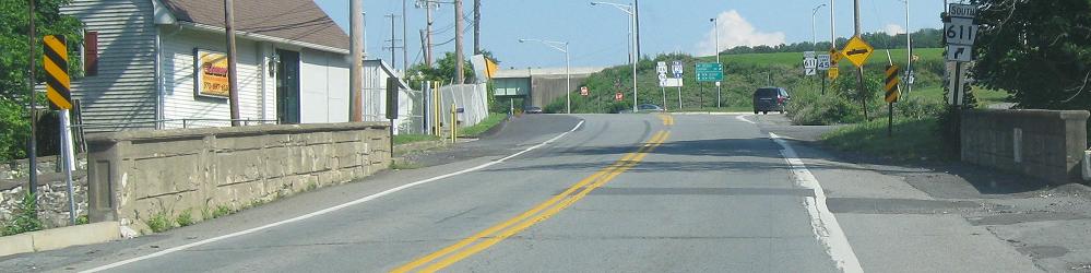
NB over I-80, which is an old enough freeway that the overpasses have metal keystones embedded, into Stroudsburg, on the Business US 209/PA 611 duplex, which breaks up at the old traffic signals as PA 611 NB turns right from Business 209 SB. (The Bus. 209 page, linked below, has a different edit of the second photo.) Originally this duplex was US 209/US 611.


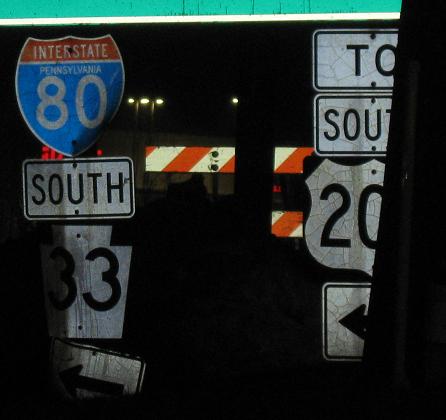
The state-name shields are NB in Stroud at a slip ramp that undercuts PA 611, which seems to hint at an early freeway predecessor of I-80, but in fact I-80 was opened at the same time between Exits 298 and 305 according to Jeff Kitsko. The third photo with its RIDOT-style square shield (or even slightly rectangular?) followed by the good signs in the last photo mark the way to I-80 East that the second photo refers to.
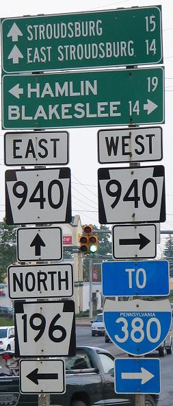
SB at the beginning of PA 196, courtesy Scott Colbert; PA 611 continues straight ahead.
Continue south and see the Doylestown Bypass
Old US 611
Back to PA 611 main page
Onto old US 22
Onto US 22
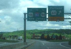
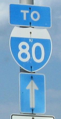
Follow the Columbia Bridge to US 46, I-80, or NJ 94 in New Jersey
See more of Northampton County
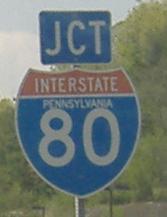
To I-380
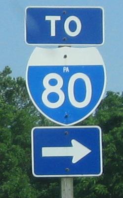
Onto I-80
Onto PA 33
Onto Business US 209
To US 209
Onto PA 940
Onto PA 196
Back to Pennsylvania Roads
Back to Roads