Pennsylvania Roads - PA 54/61 Centralia - 2007
Abandoned PA 54/61, Centralia, in 2007
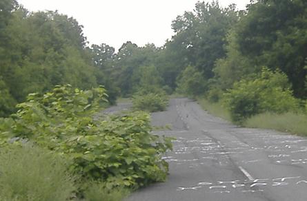
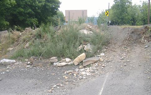
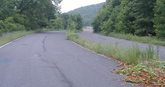
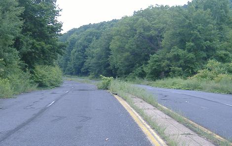
After some general photos along the route, I start NB at the south end of the abandoned roadway, where the stub of PA 61 forms a convenient parking spot for me and other adventurers. (As you may have seen on the main PA 61 page, the north end has no stub.) I'll take you up north to the top, turn around, and head back SB.
Perfectly dentable guiderail toward the north end of the kilometer-long road (I would have used English instead of metric, but this is more concise).
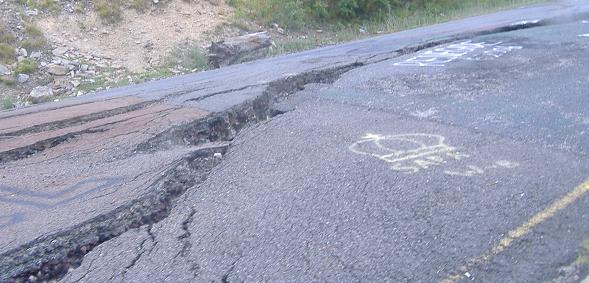
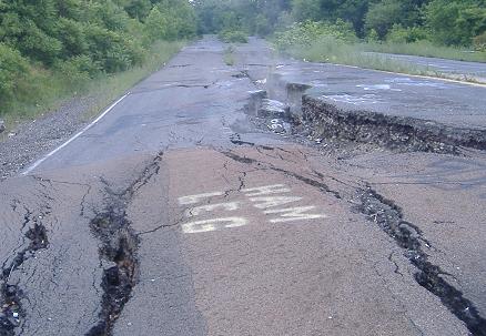
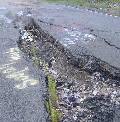
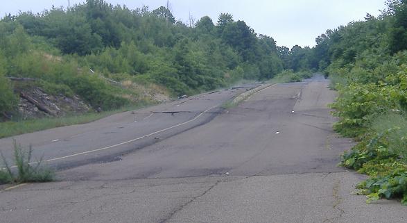
Looking down at and then along the gigantic crack in the southbound lanes, by far the most interesting feature of the road. Not only is it the only place where the buckling pavement has given up and opened wide, but it's the only place where smoke comes into the road itself instead of staying in the forest to the west.
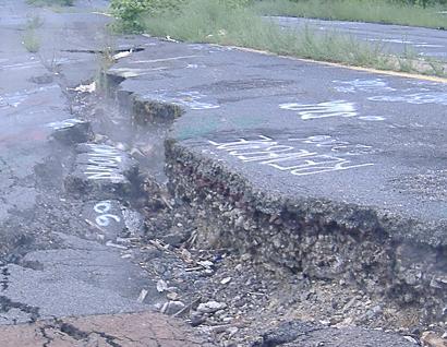
Getting closer to the ground so you can see just how far the shoulder has subsided relative to the centerline.
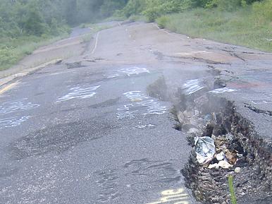
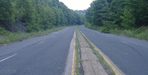
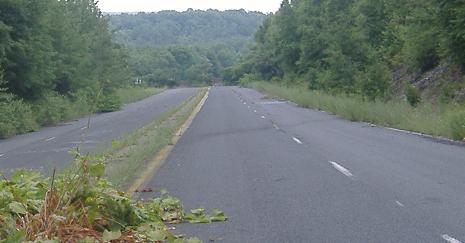
Now facing south instead of north, and you can also see a preview of how wavy the rest of the highway has become. (The rest of those photos are to be foun via the big link in the opening paragraph.)
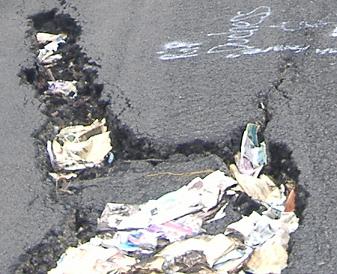
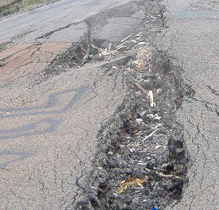
I'm not sure how so much trash has managed to find its way into the crack and only into the crack, unless people throw it there to watch it burn. If that's the case, whoever threw it in the far end of the crack (first photo) was clearly disappointed, whereas those who aimed for the smoky middle of the crack (second photo) got to see their rubbish turned to rubble.
Northbound
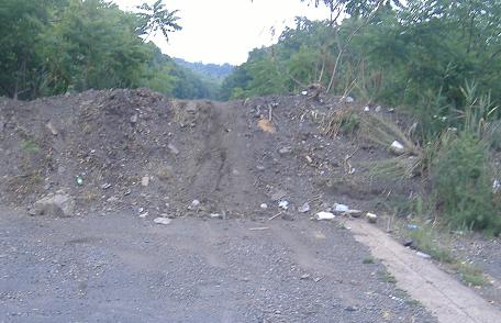
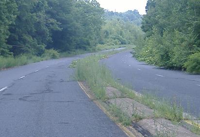
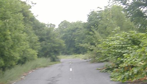
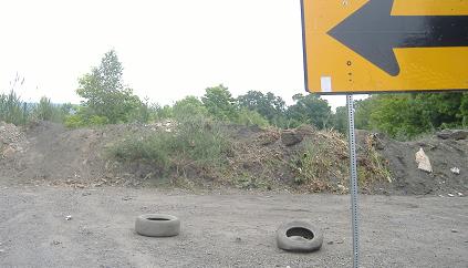
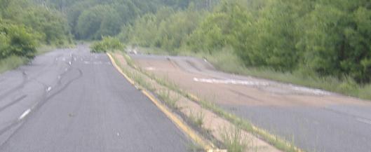
Over the dirt hump, continuing straight north on PA 54/61. Nothing looks amiss just yet, which makes sense; SR 2002 is used as a bypass because it was existing, not because it maximized the use of the original highway.
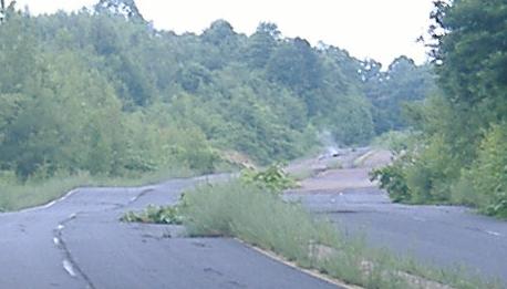
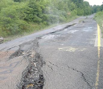
Okay, something now looks wrong. These roller coaster humps are hairy even in a bicycle at 15 MPH, and most roads don't have smoke coming out of them. Maybe this is why it's closed.
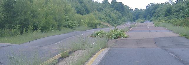
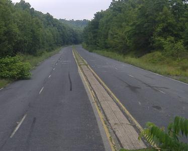
Up the hill on the "straight"-away. Well, it's straight horizontally.
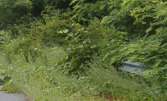
Bushes (nascent trees?) in the median start to eat up the roadway on both the NB and SB sides.
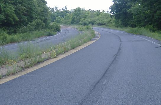
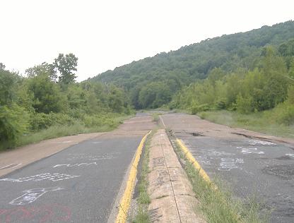
Continuing back to normalcy, where four lanes merge into two to prepare to enter Centralia (dig the 1970's-style stripes). Finally, the dirt mound on the other side hides where PA 61 comes back into its original alignment and heads back down the other side of the hill.
Southbound
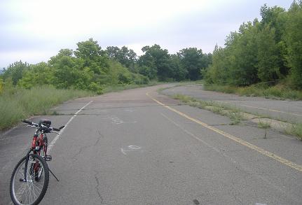
Over the other dirt hump, with a better view of what the old highway looks like as a two-lane with the beginnings of a median. There is the bicycle that will take us on the remainder of the journey - funny, I left one there just like it not a minute earlier.
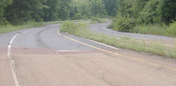
Back around the curve to the rolling hills of the straightaway. Since this is a downhill, I just cruised on my bike and thus chose the northbound, non-cracked lanes.
Past the lovely southbound crack from Page 1, and to the worst of the pavement heaves.
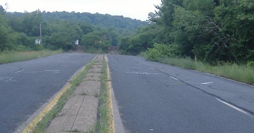
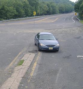
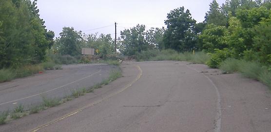
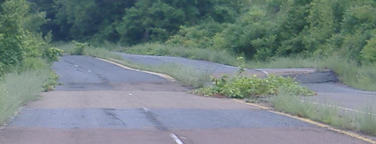
Around the curve, over the mound, and back to normalcy. Straight ahead, PennDOT makes it as obvious as possible where the old highway continued, even leaving some concrete median as a clue. And, amazingly, there is the car that will take the bicycle back home with me, just when I needed it most.
Revisit abandoned PA 54/61 in 2014
Back to the abandoned PA 54/61 main page
Back to PA 61 main page
Back to PA 54 main page
Into Centralia
Back to Pennsylvania Roads
Back to Roads