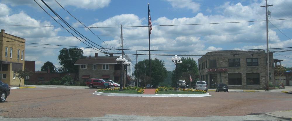
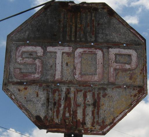
The central, 8-legged square of Perryopolis, just east of PA 51, and one of the eight approaches to the square. If you can find the town, you'll find this sign, which has the narrowest font I've ever seen to write THRU TRAFFIC above and below the STOP. You can make it out because somehow the exposed letters weathered less than the rest of the sign.
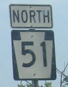
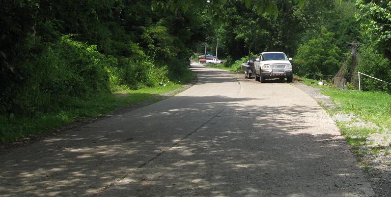
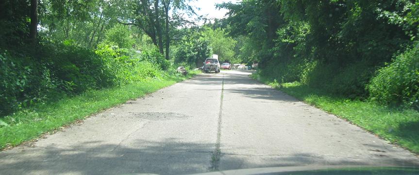
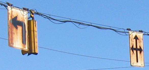
Northbound between dead ends on an old alignment in Wickhaven.
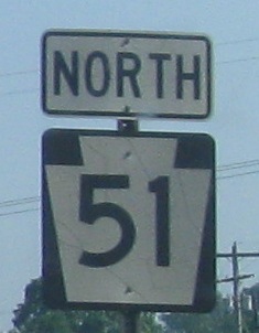
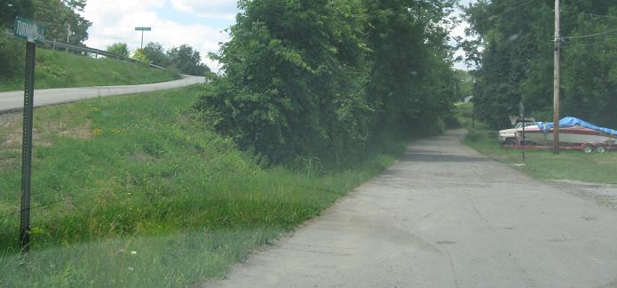
And southbound.
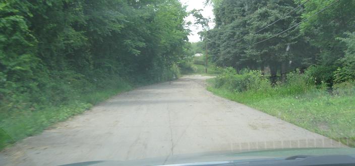
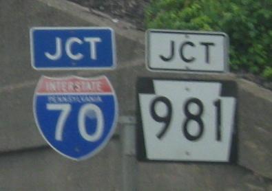
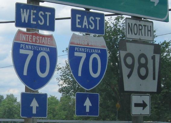
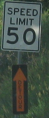
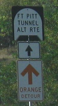
Continuing north from there. The rotated Detour sign comes after the I-70 interchange and the old shields atop the page.
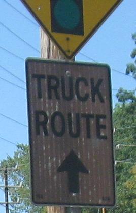
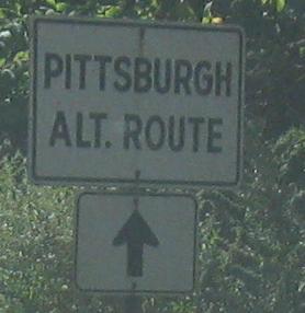
Skipping north to the Pittsburgh area, NB at PA 88. Click for closeup.
SB at PA 88. The green sign was definitely patched over from the original, even though it's still old (see the arrows), and the 8's may have ended up upside-down.
The back of the sign gives away how old it is, on the original signpost.
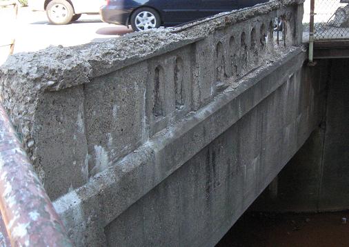
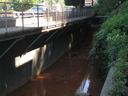
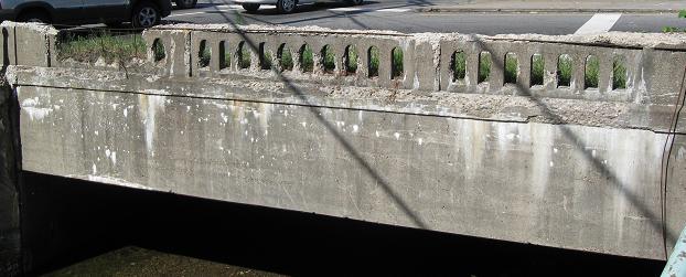
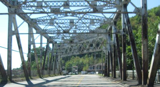
PA 51 is cantilevered over Sawmill Run (that's the SB sidewalk), and PA 88 must cross it to intersect 51. The structures I'm sure are as old as the signposts. These photos were taken in the southeast corner of the intersection.
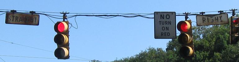
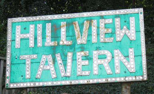
Also in the southeast corner is one tavern who agrees with all knowledgable people that button copy is awesome and belongs on as many signs as possible. This one is barely visible from the road.
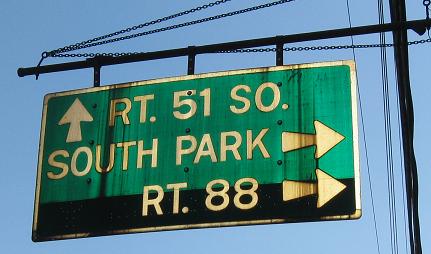
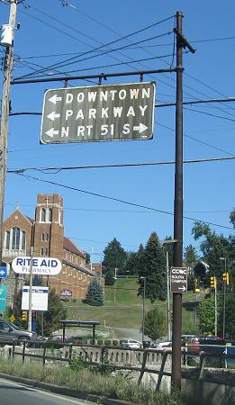
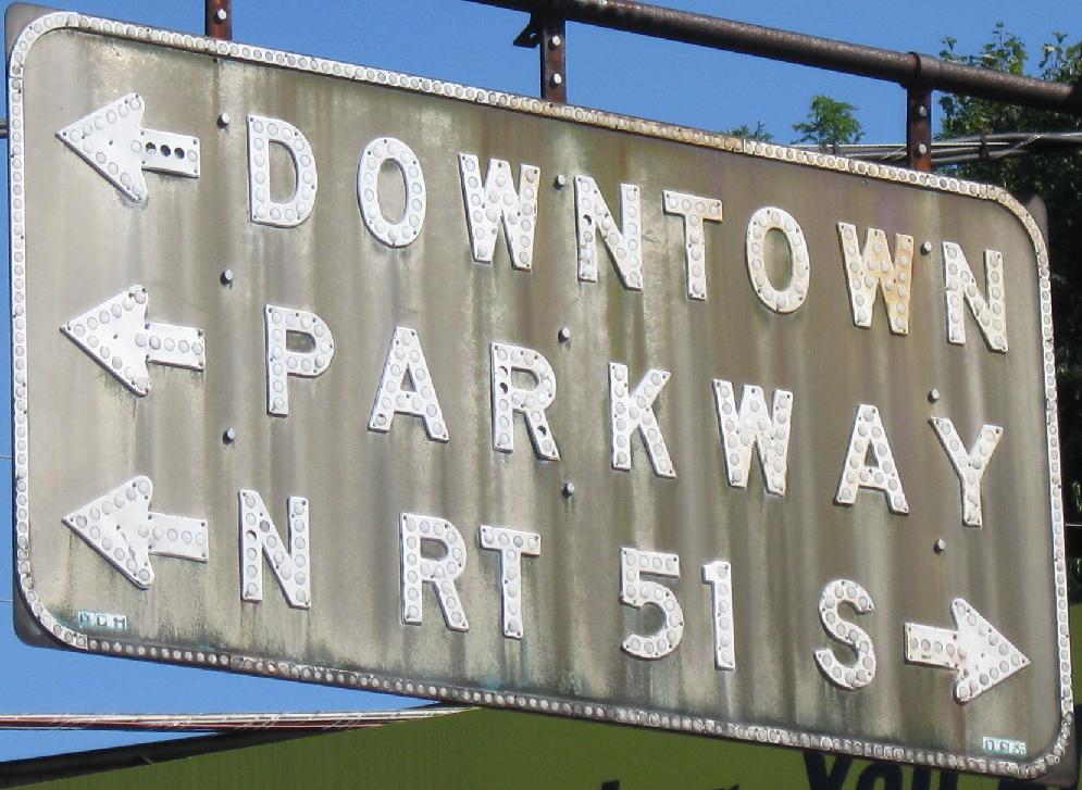
Saving the best of this intersection for last, the PA 88 NB approach as 88 ends (at least one map hints it used to turn left with 51). Those are original signs, and possibly the last black sign in the state. Or in the Northeast. Or in the country? It dates from before green backgrounds were developed, when most signs were embossed. It's also on an original signpost, and you can click the second photo closeup for a super-duper closeup. "Parkway" is for the Penn-Lincoln Parkway, now I-376 and I-279.
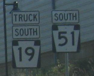
Northbound from there on PA 51/US 19 Truck.
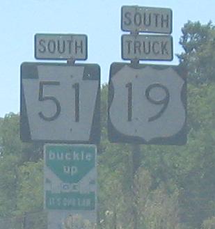
Two unique assemblies. One has the numerals right, one has the shields right.
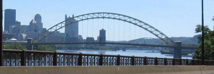
SB starting in McKees Rocks at Carson St., turning south and approaching Pittsburgh. The arch of the Fort Pitt Bridge rises in the background.
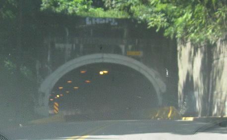
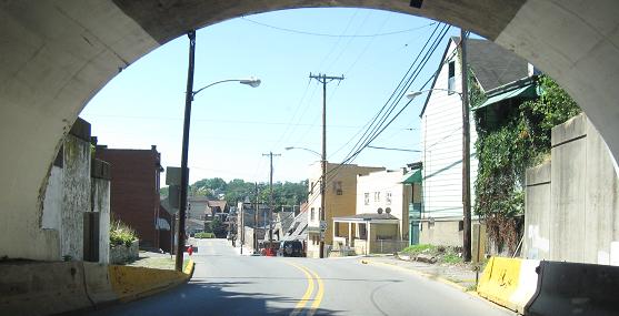
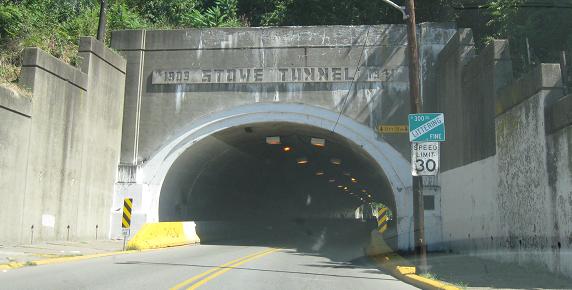
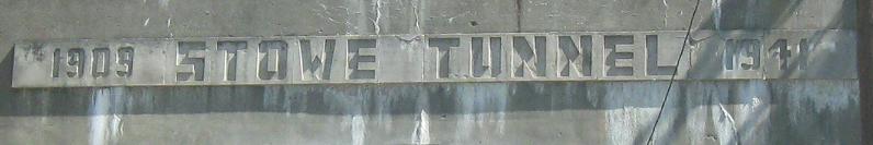
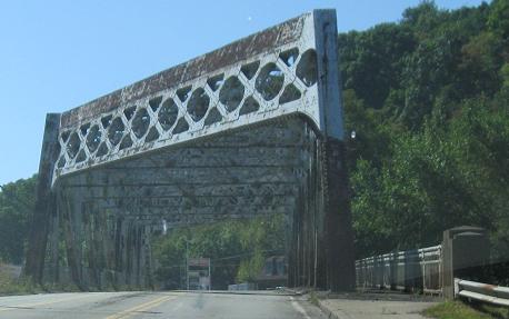
Just off PA 51 on Tunnel Way in McKees Rocks. I guessed there was a tunnel from the name and the height warnings.
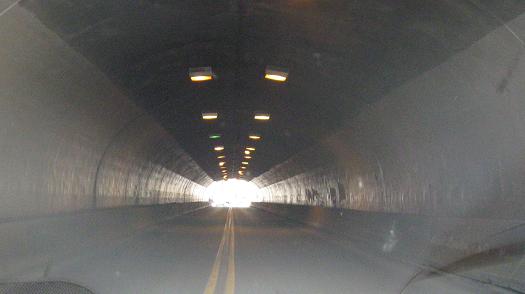
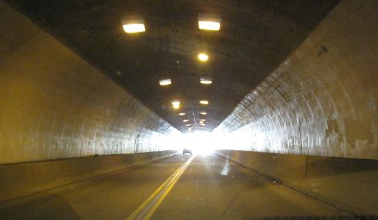
The town side of the tunnel.
Turning left from Fleming Park Bridge (Neville Rd.) off of Neville Island.
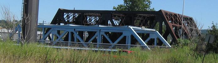
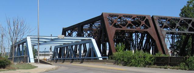
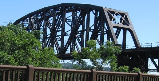
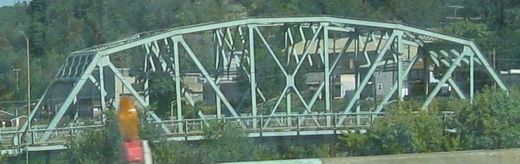
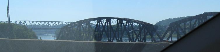
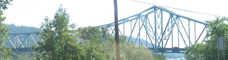
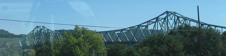
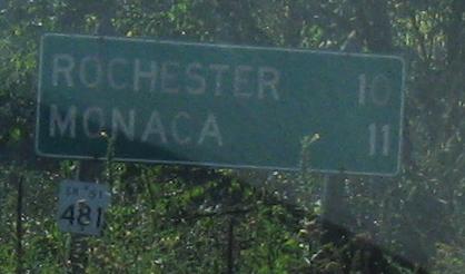
More bridges than you can shake a stick at. The first two are looking north at Bridge St. (the original road) and south at a railroad bridge with PA 18 in the background from the multiplex with PA 68; there are more photos of these bridges on that page. After that, I give you a video of the Monaca-East Rochester Bridge, PA 51 over the Ohio River. Then I pass over a railroad in Monaca and drive by the Ambridge-Aliquippa Bridge to two photos of the similar Sewickley Bridge. I drive those latter two Ohio River bridges on the page linked below.