Pennsylvania Roads - Misc. - W.
Miscellany of western/central PA
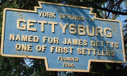
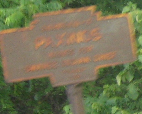
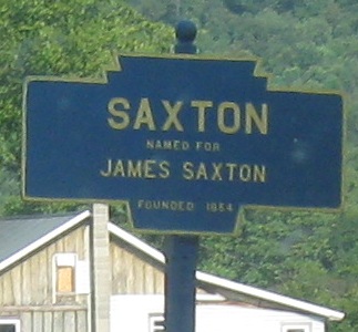
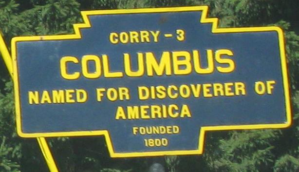
Examples of PA town "keystone" signs dating to the earliest days of highway travel. I think the first one is on PA 134 NB south of town. The others are on PA 487, 913, and 957, all WB.
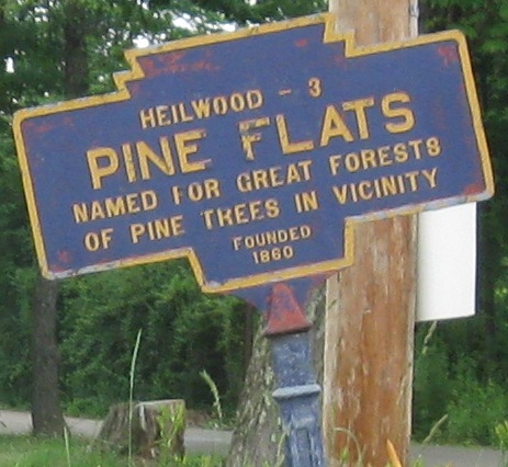
This is on PA 580, but it's more meant for the cross street, Pine Flats Rd., which connects to PA 403/553 near Heilwood. Since keystones, to my knowledge, were never erected on secondary roads, this must be the route of a former primary (3-digit or less) route, whether crossing PA 580 here or using part or most of the route.
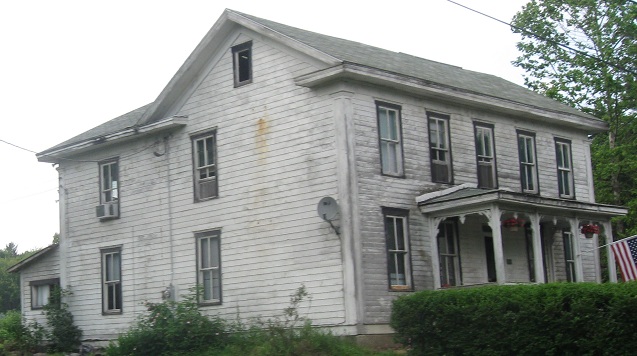
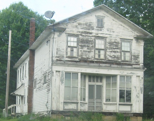
The creepy houses of Pine Flats, continuing east on PA 580.
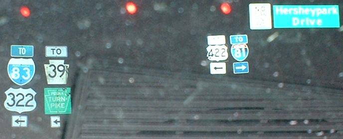
A cluster of shields that face tourists leaving Hershey Park at PA 39.
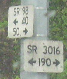
PennDOT uses these little white signs at all state highway intersections, and they're useful to find out the four-digit number of whatever back road you're about to take. The bottom number or numbers denote mileage on the route, and are in the scale of 20 to a mile on non-freeways.
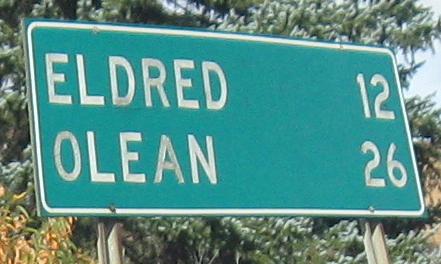
Wooden distance sign on PA 155 NB, which ends at PA 446 before reaching Eldred. Olean is in New York.
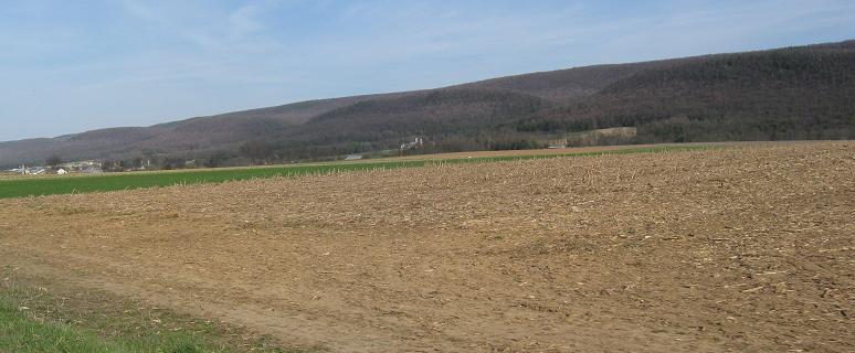
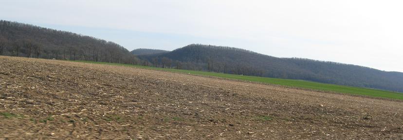
State College area scenery in the valleys of the Allegheny Mountains, on PA 192 EB facing east and west.
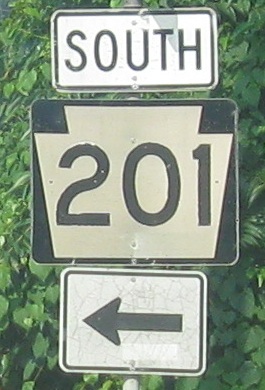
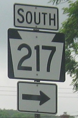
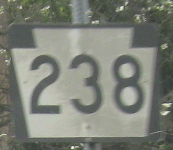
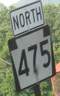
Plethora of shields, and just in case I ever turn them into pages, the first one's in Fayette City, the third one is EB leaving PA 74, and the last is in Mammoth.
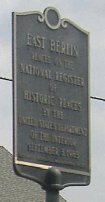
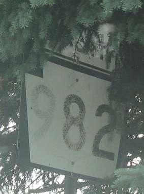
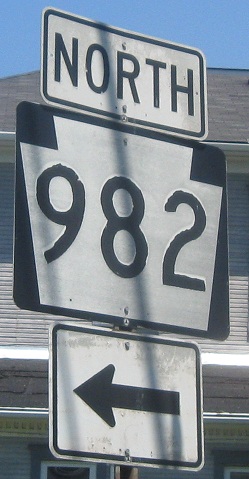
PA 234 EB in East Berlin, PA 955 WB near Erie.
Speaking of Erie, PA 290 EB. Why is this a distance sign instead of a guide sign?
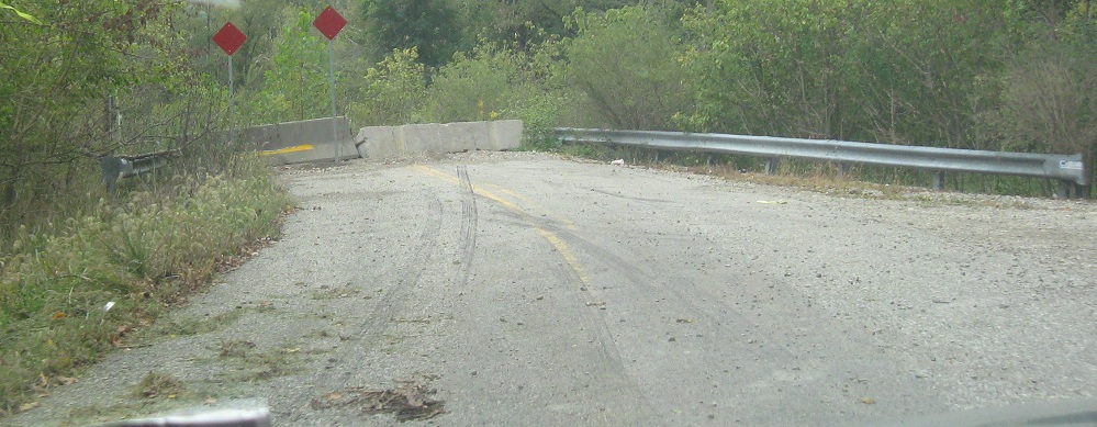
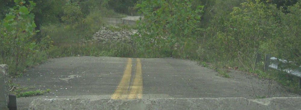
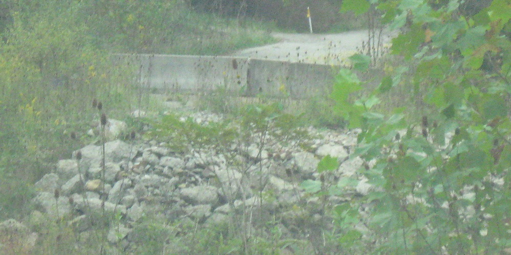
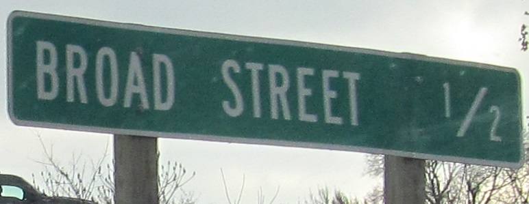
Brush Run Rd. used to carry PA 331 across Buffalo Creek, but those days are long gone. With very light traffic and a serviceable alternate route via Backbone Rd. and PA 231, these WB photos will remain the status quo.
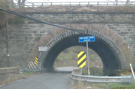
PA 616 NB - better blurry than no photo at all - and then SB at a one-lane railroad underpass shared with a creek, a very unusual concept that's repeated at the next RR arch over.
PA 756 EB on Ohio St. in Johnstown, where there are clearly many signals. There is also a recycled Divided Highway Ahead sign that may have come from somewhere on PA 56 (if not a more distant city).
PA 830 WB into Falls Creek, then turned south on PA 950.
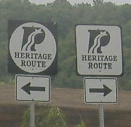
Exiting the South Fork Visitor Center northeast of Johnstown, Pennsylvania tests whether you've been paying attention to geometry. Either direction is the Southwestern Pennsylvania Industrial Heritage Route. To the right is the square route, or clockwise, so you can guess what the circle signifies. Thanks to Jeff Kitsko, who unknowingly helped solve this great mystery for me. If you can confuse even me, PennDOT, consider trying something new, like, say, signing the route NORTH-SOUTH.
Youngstown doesn't know roads. It puts up misguidedly awful keystones and paints stop lines yellow instead of white (again on Arnold Palmer Drive, even). For all I know, they pave their streets with babies.
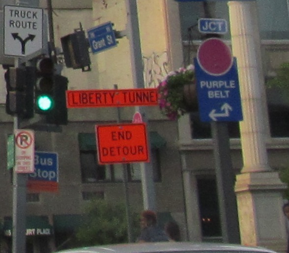
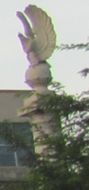
Pittsburgh used to know roads, but then they instituted an unofficial Purple Belt in downtown to detract from the Allegheny County colored belt system that runs around the city in rings on local streets. This is Grant St. NB at Blvd. of the Allies, still downtown, showing just how tight this belt is. The two columns (left column in the first photo, right column seen by its eagle top) flank Blvd. of the Allies' center ramp up to Liberty Bridge.
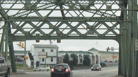
Thompson Run Rd. barely makes it under this railroad west of Monroeville Mall.
Bridge St. SB becoming Old York Rd. in New Cumberland, crossing Yellow Breeches Creek.
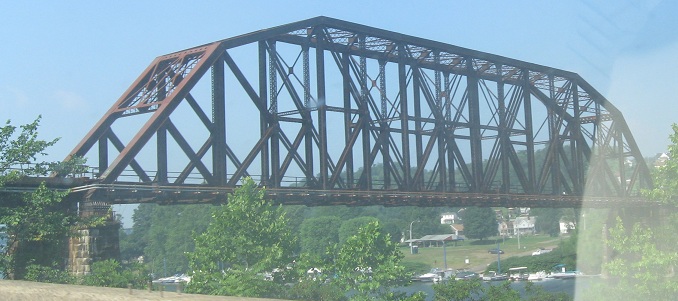
A rail crossing of the Monongahela River, seen from Albany Rd./Brownsville Rd. northeast of Brownsville.
Eastern miscellany
Back to Misc. main page
Back to Pennsylvania Roads
Back to Roads