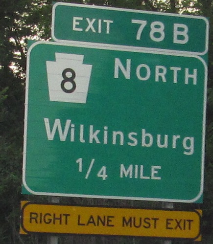
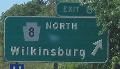
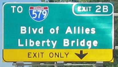
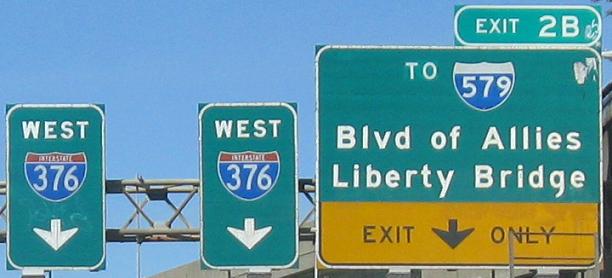
Starting off with just a little button copy, a bad shield, and a bad OLD EXIT tab. I said tab. It's supposed to be a small but separate sign, i.e. something you can actually read.
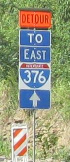
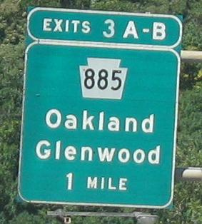
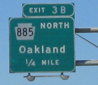
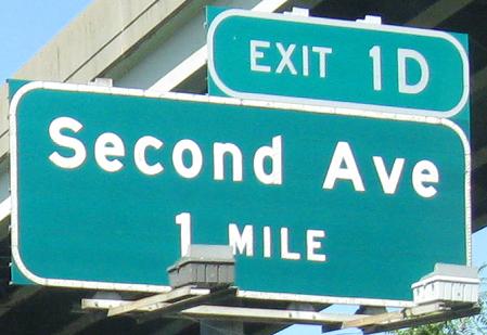
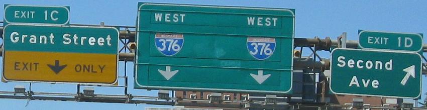
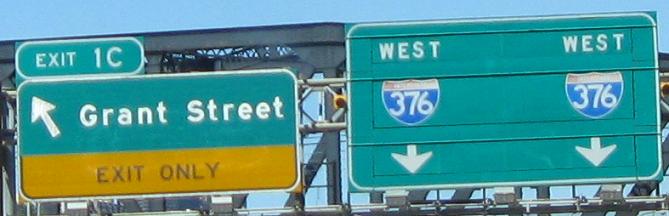
Exit 8 in 2008 became Exit 78 in 2013, as I-376 was extended west over I-279 and north on PA 60. Button copy became poorly kerned Clearview with the wrong size lower-case letters.
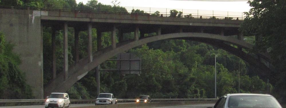
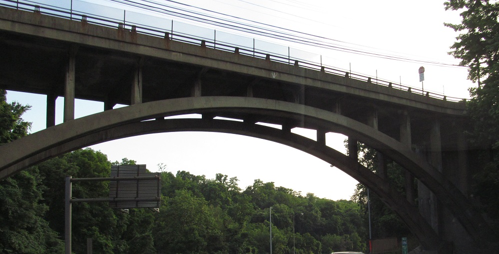
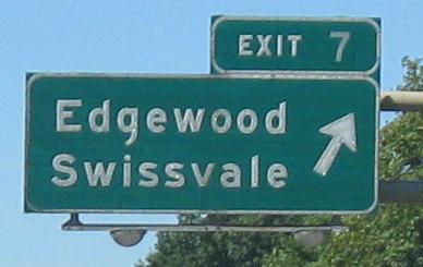
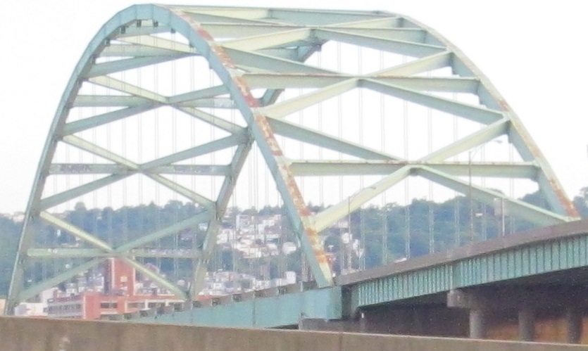
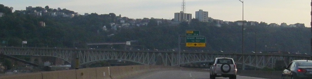
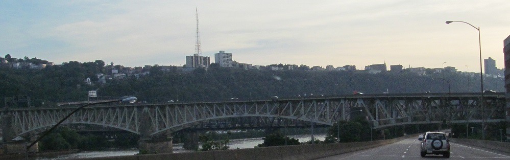
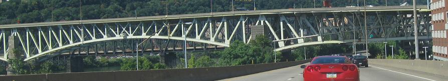
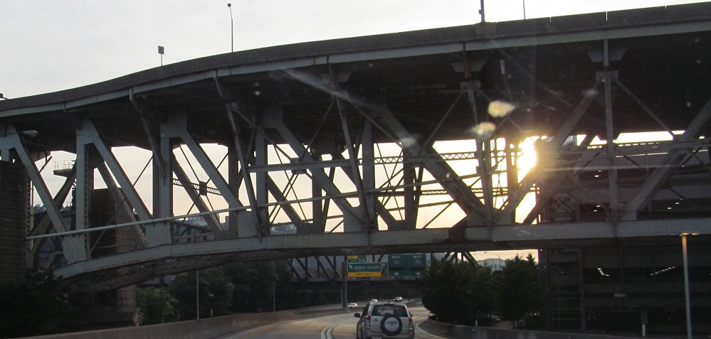
Have a couple of bridges. The tall arch is Maple Ave./Brinton Rd. and the low arch is Edgewood Ave. alongside a railroad. That low, narrow bridge is a remnant of the original highway here, Parkway East, built in the 1950's as part of the Penn-Lincoln Parkway. US 22 and US 30 are the Penn and Lincoln Highways, not coincidentally, and since they multiplex with I-279 to the southwest of Pittsburgh, that highway is Parkway West.
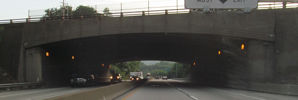
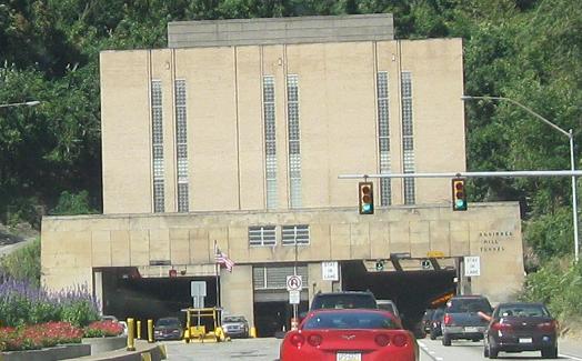
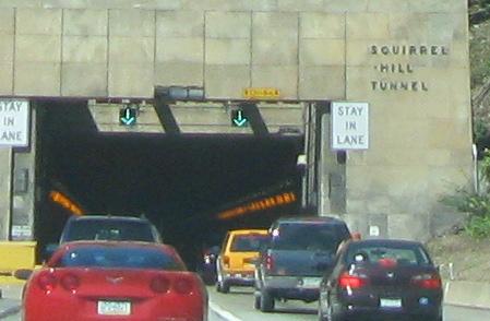
Into the first of two Parkway tunnels; the other one is west of downtown. Click on the video (the last "photo") to drive it.
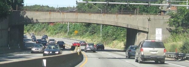
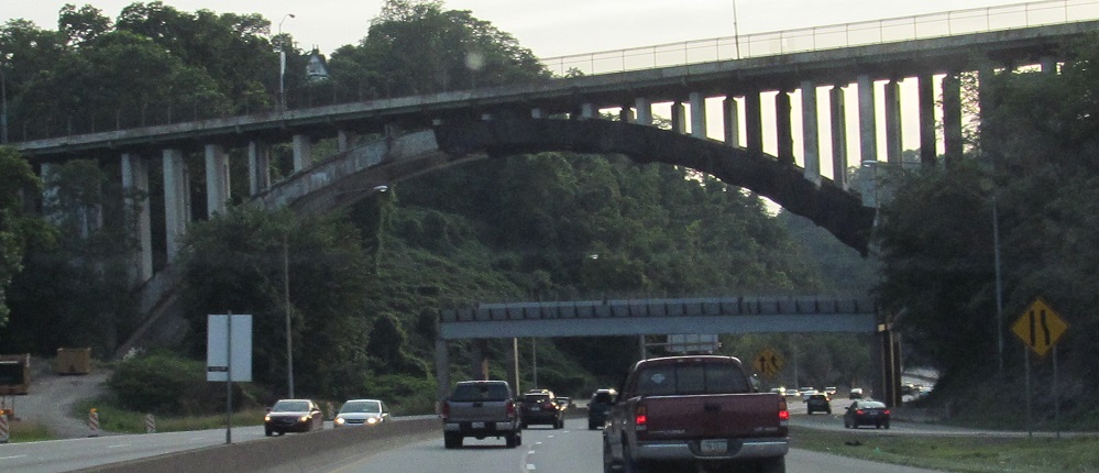
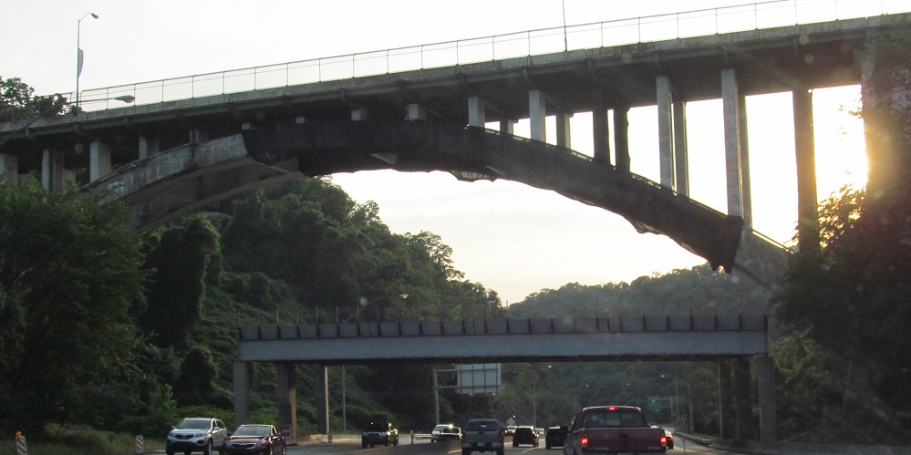
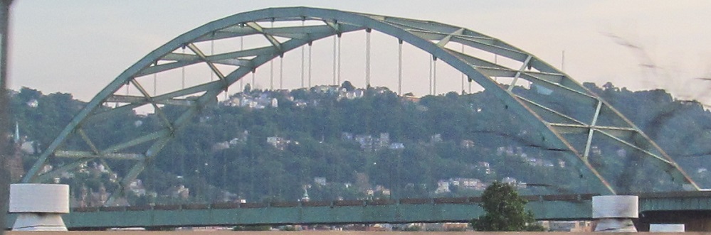
Another arch, the Greenfield Bridge on Greenfield Rd., and a smaller bridge below it just to catch pieces of the larger bridge that fall off during repairs.
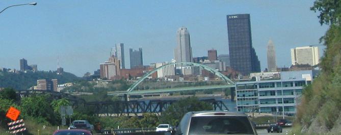
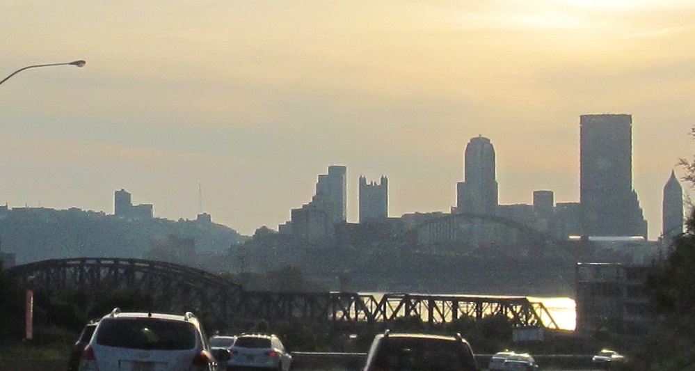
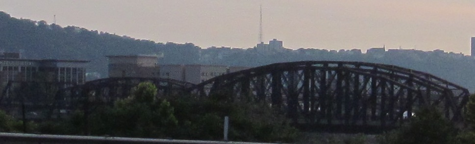
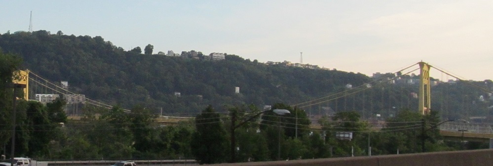
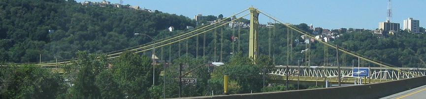
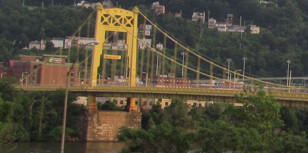
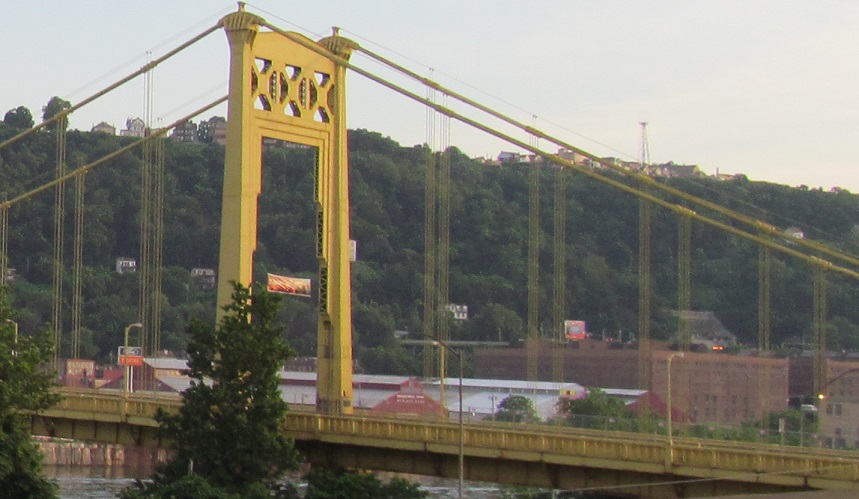
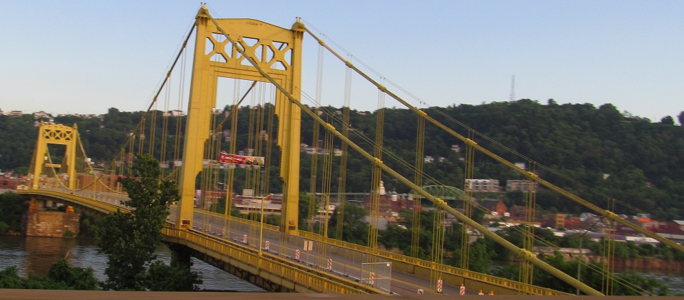
Welcome the Pittsburgh skyline, featuring the Hot Metal Bridge and the arched Birmingham Bridge. The Hot Metal Bridge is two parallel bridges on shared piers, an 1887 railroad bridge that is now a vehicular span, and a 1900 steel mill rail bridge that is now a pedestrian span behind it.
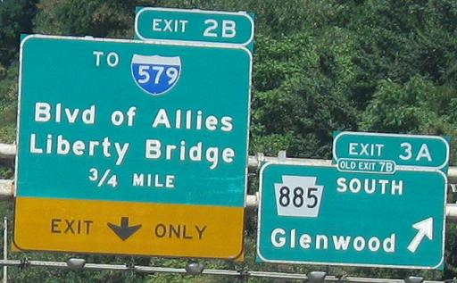
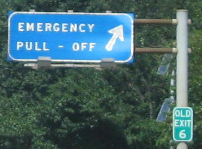
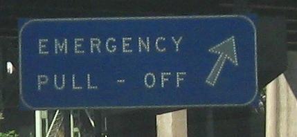
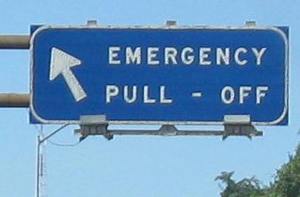
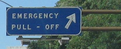
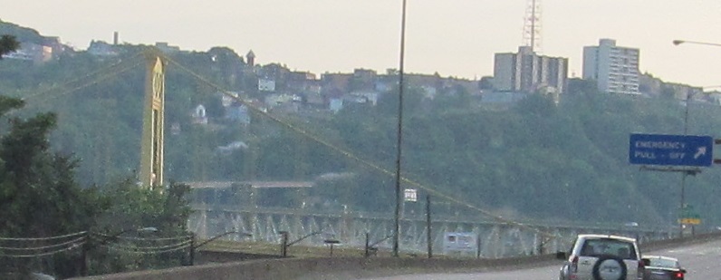
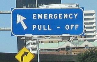
More button copy featuring a bunch of pull-offs, broken in the third photo by an exit tab California-style that belongs outside the confines of the rectangle. The freeway may or may not have been constructed with the pullouts (or pull - offs) originally, but full shoulders would not fit between the city and the Monongahela River.
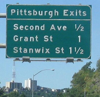
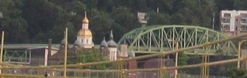
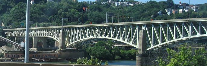
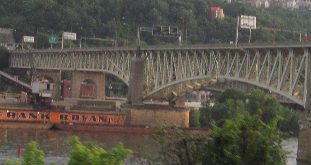
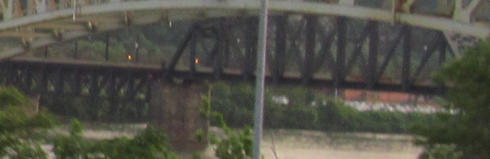
Featuring the 10th St. Bridge, broken in the fourth photo by a truss span on the distant P.J. McArdle Roadway, which crosses a railroad and climbs the side of Mt. Washington.
Variable message signs and the Liberty Bridge, with the rail Panhandle Bridge behind it. The VMS are to warn of wharf flooding along the Monongahela River.
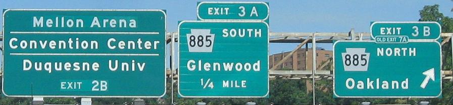
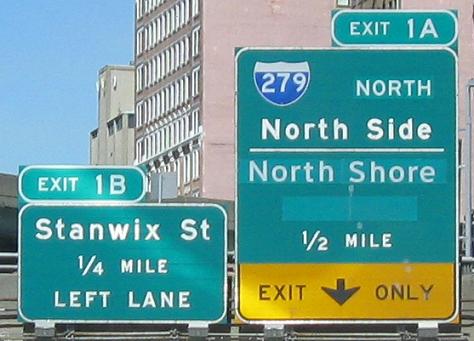
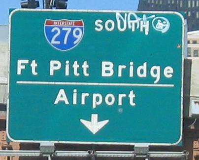
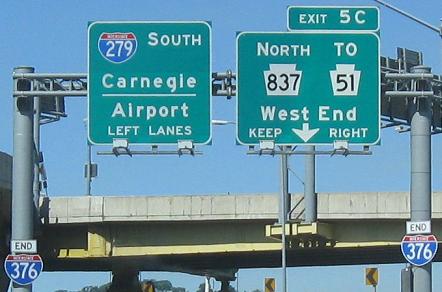
One last pullout and a bunch of bubble shields. PennDOT stupidly removed all the destinations for I-279 and replaced it with something completely redundant. What was wrong with anything that was there before? And what was NORTH patched over? Chris Commans hypothesizes there may have been other route shields and "Three Rivers Stadium." Okay, so leave the route shields and put the new stadium name if that's the case.