Pennsylvania Roads - Bucks Co.
Bucks County


PA 212 and PA 213 are both in Bucks County. I know the first sign is NB on the former, but I'm not sure if the second sign is EB on the latter. If not, it's on Langhorne-Yardley Rd.

Seen from PA 563 EB leaving Perkasie, although the sign is clearly meant for WB traffic entering the town.


Some fairly old signs bipping around the south corner of Bridgeton, at or near the Lake Warren Rd./Lonely Cottage Rd. intersection.


Peace Valley Reservoir outside Doylestown, seen from Old Ironhill Rd. NB.

This is old enough to predate diamond signs, on Upper State Road EB over Neshaminy Creek near New Britain.

Sixscore and 15 years ago, this bridge was erected on Dublin Road in the namesake town, probably by Bucks County. Click for a slightly dusky photo of the bridge.


Bucks Co. also features another type of historic bridge. This is Cabin Run Bridge, crossing the eponymous streamlet on Covered Bridge Rd. in Pipersville, EB.


Loux Bridge crosses Cabin Run as well, and was built 3 years later, but apparently was the original Cabin Run Bridge (unless both shared a name). It's on the next street over, Wismer Rd., also seen EB.


One year younger (1875), the Van Sant or Beaver Dam Bridge crosses Pidcock Creek near New Hope. It's on appropriately named Covered Bridge Rd. SB. Fluorescent yellow-green is not supposed to be used for warning signs unless they're related to pedestrians, but Bucks County cares less than a honey badger.


Covered Bridge Road is apparently a popular name for roads with covered bridges. People are amazingly imaginative sometimes. This is not one of those times. The bridge here is Sheard's Mill, as is the building featured in the first photo. Photos progress northwest across Tohickon Creek near Nockamixon State Park and Lake Nockamixon, with the last photo looking back southeastward.


In the mood for more incorrectly tinted signs? Head to the Pine Valley Bridge over Pine Run, on Old Ironhill Rd. in New Britain. You'll also see one of the oldest bridges, at 1842. Photos are NB.


Speaking of moods, this is Mood's Bridge (mind the apostrophe) in Perkasie, on Blooming Glen Rd. NWB (it's one way, so be sure to approach it from Branch Rd.) across Perkiomen Creek. The original bridge was destroyed by arson, but this is a pretty faithful replica.


Knecht's Bridge is on Knecht Bridge Road. You figure that one out. Here seen SB, it's outside Springtown across Cooks Creek, and dates to the mid-1870s like most of the other bridges on this page.


The first of another pair of bridges, Erwinna Bridge on Geigel Hill Rd. near Uhlerstown, here seen EB.

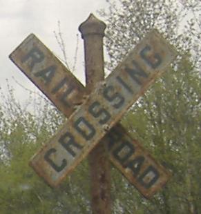
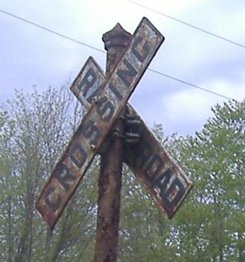
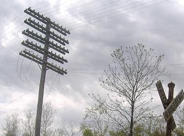

Make a couple of lefts and that will lead you to the other one-way bridge, Uhlerstown Bridge on Uhlerstown Hill Rd. In this case, the bridge itself is not the reason for the one-way road, it's the long, steep hill afterwards without enough room for two cars to pass at speed.


Not too far away is eerily named Frankenfield Bridge, on Cafferty Rd. near Tinicum. These photos are SB across Tinicum Creek.


Saving the most unusual for last, this is Mean's Ford Bridge, more simply known as the Boxed Pony Bridge because that's exactly what it is. Technically not a covered bridge, it's a pony (the structure is on the sides, but not tall enough to be overhead) and it's boxed (the "covered bridges" on each side box in the wooden structure to protect it from the elements), so it's close enough to count in my book. There are only seven of these left in the nation, and this is the longest. It's closed to vehicular traffic, so you have to approach from one side of Stover Park Rd. I picked the east side, and based on that, I'd recommend the west side, which has more parking and ability to turn around. Photos look west across Tohickon Creek.
Calhoun Street Bridge
Lumberville-Raven Rock Bridge
Riegelsville Bridge
Schofield Ford Covered Bridge
Fleecy Dale Road
PA 32
PA 113
PA 132
PA 179
PA 232
PA 309
PA 413
PA 532
PA 611
US 1
US 13
US 202
I-95
I-276
Bucks County Non-Roads
Back to Pennsylvania Roads
Back to Roads


