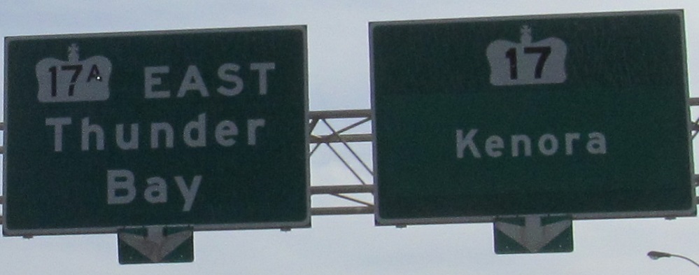
Ontario Roads - TCH 17 - W. of Kenora
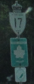 west of Kenora
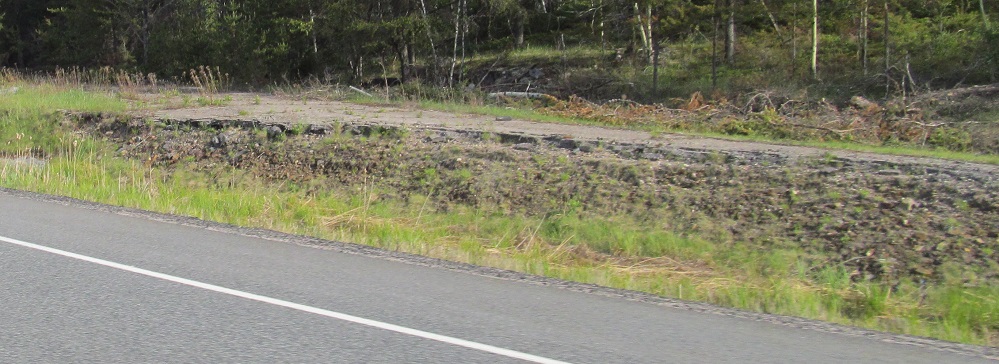
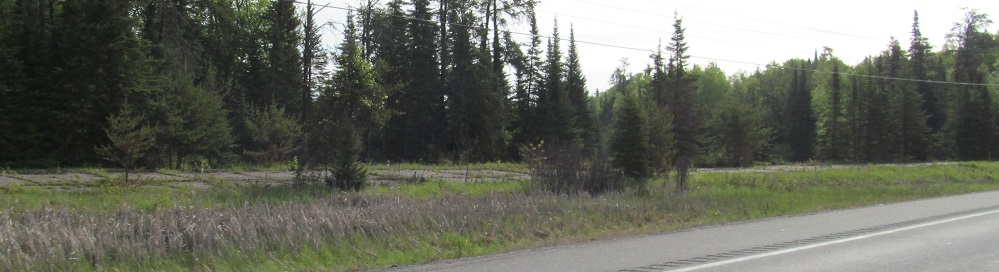
WB at an old alignment by Royal Lake, a few minutes east of Manitoba.
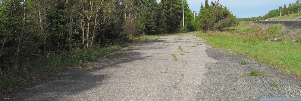
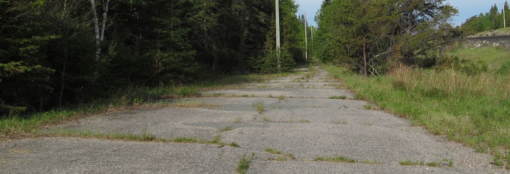
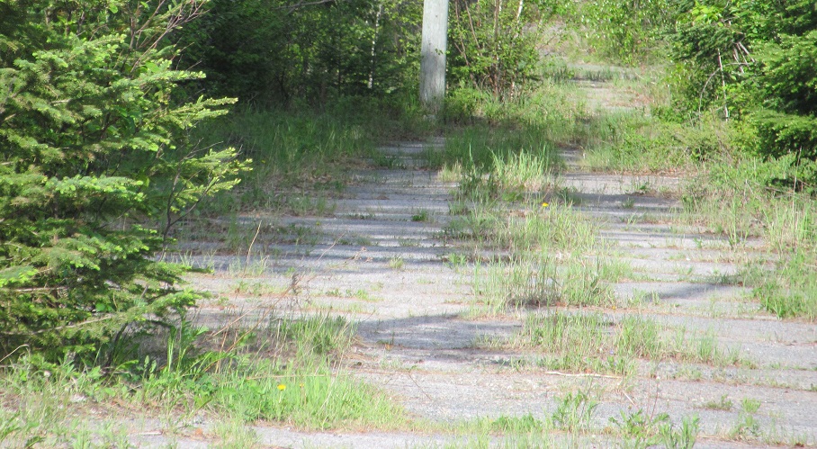
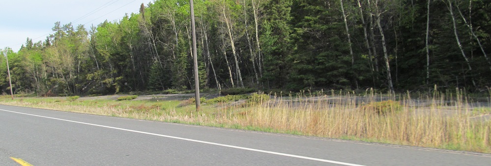
EB at another one by Moth Lake that I then decided to explore.
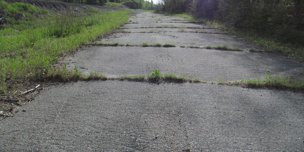
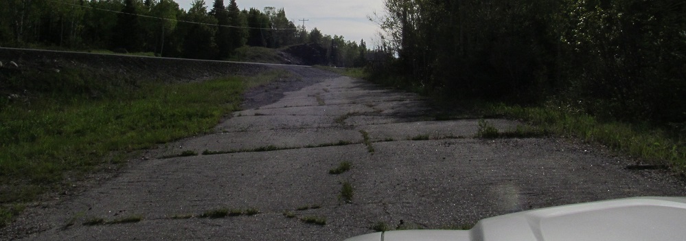
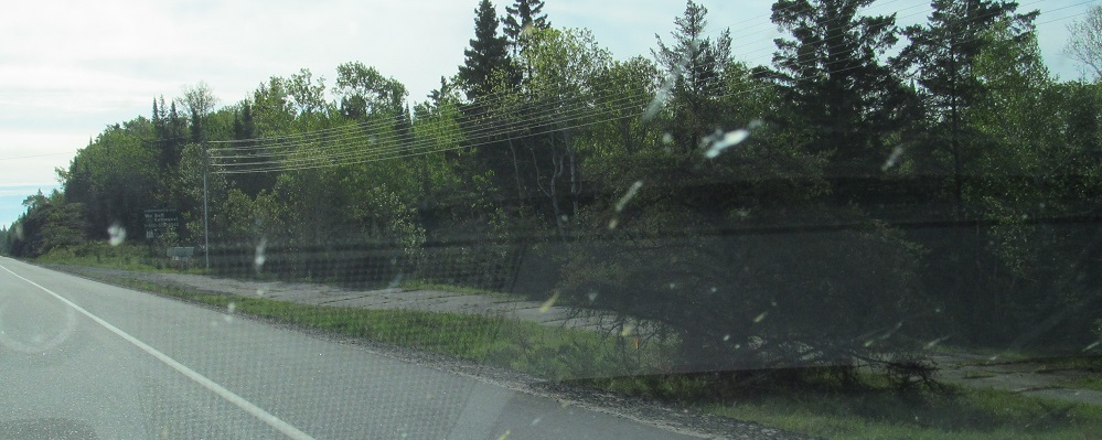
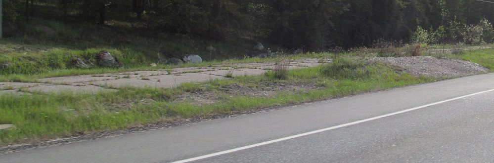
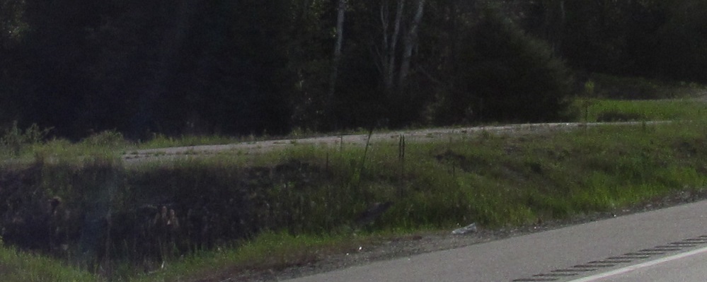
Back out from that alignment, which crosses TCH 17 in the 3rd photo and comes back to it in the last one.
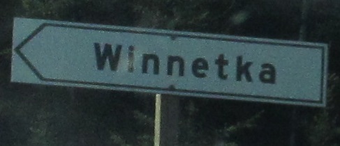
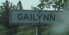
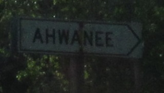
Continuing east, Winnetka is not a town. It might be a last name. There is no reason to sign this.
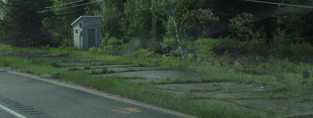
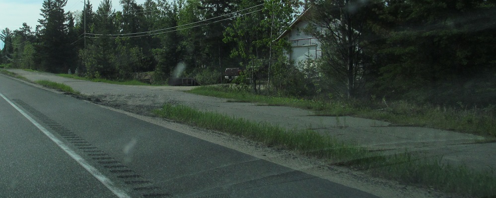
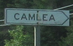
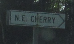
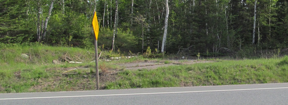
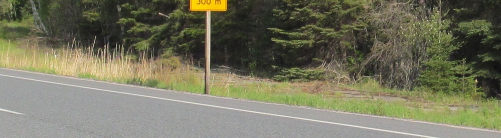
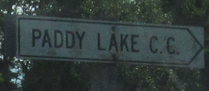
Another old alignment at Granite Lake, a bunch more white signs for private interests. At least N.E. Cherry appears to be a small lakeside development, so maybe some of these are bigger than just someone's house.
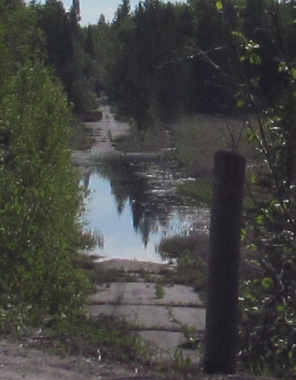
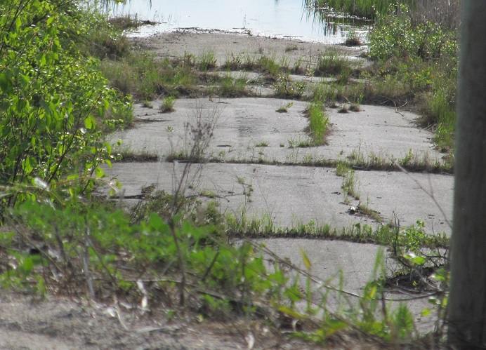
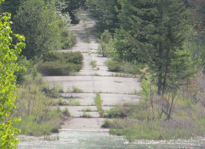
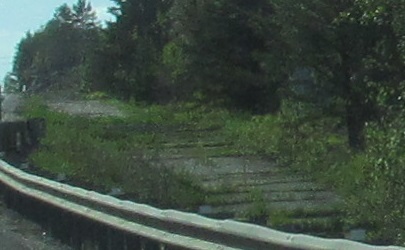
This flooded old alignment goes past Inglis Lake.
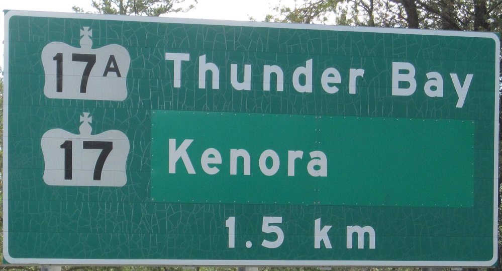
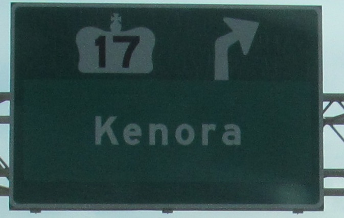
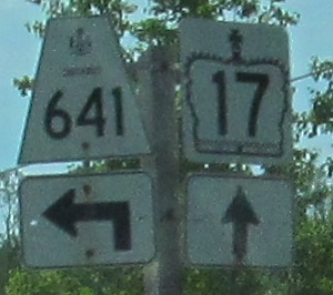
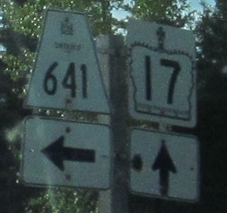
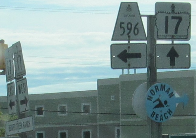
EB at an unusual split where the through route is local and the bypass is the "alternate." I don't know why Kenora would have been pasted over anything, because it's the largest town in the area. The only other thought I have is Keewatin.
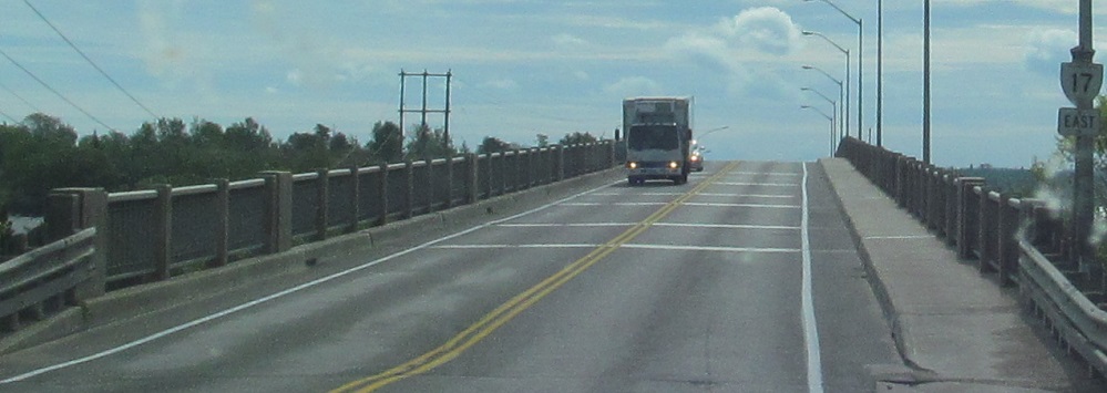
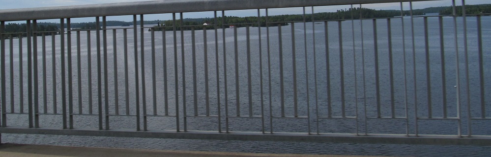
EB past a secondary route and over Keewatin Bay, which is an inlet of Rat Portage Bay, which is an arm of Lake of the Woods.
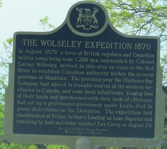
Let us briefly pause and pay tribute to the history of Louis Riel, then onward toward Kenora.

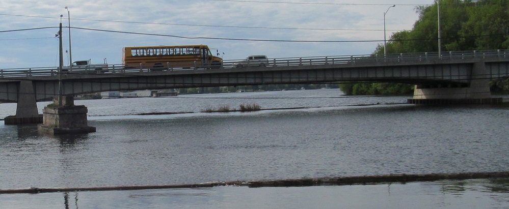
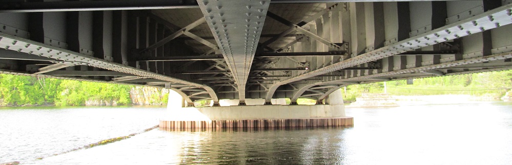
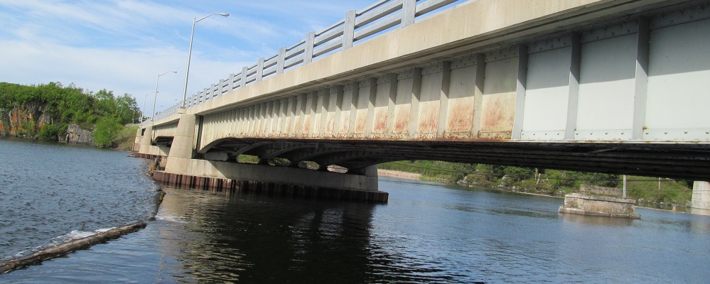
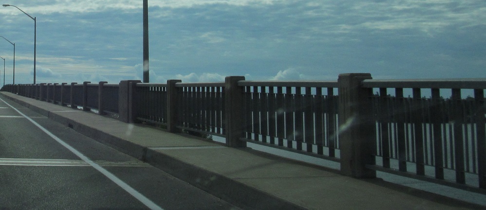
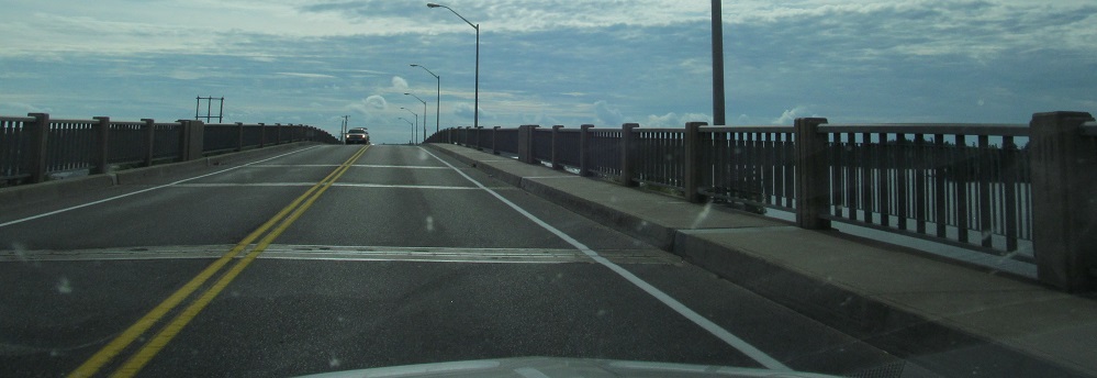
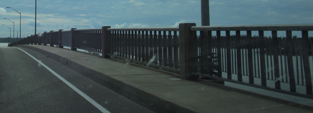
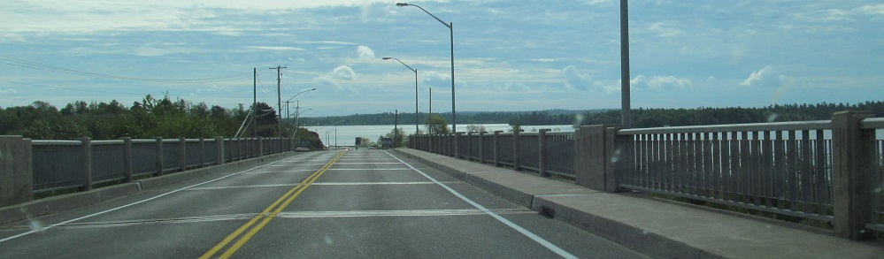
TCH 17 crosses the entrance to Rideout Bay just west of McLeod Park, which provides a convenient resting point to perambulate under the east side of said crossing. The old road crossed those abandoned piers and went through the parking lot that now provides said resting point.
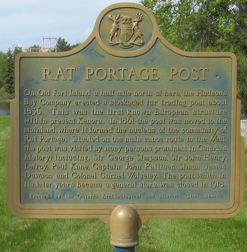
Let us continue our pause and pay tribute to the history of Rat Portage, the old name of Kenora.
Continue east on TCH 17
Into Manitoba on TCH 1
Back to Ontario Roads
Back to Roads