Ontario Roads - TCH 17 - Kenora and E.
Trans-Canada Highway 17, Kenora and east
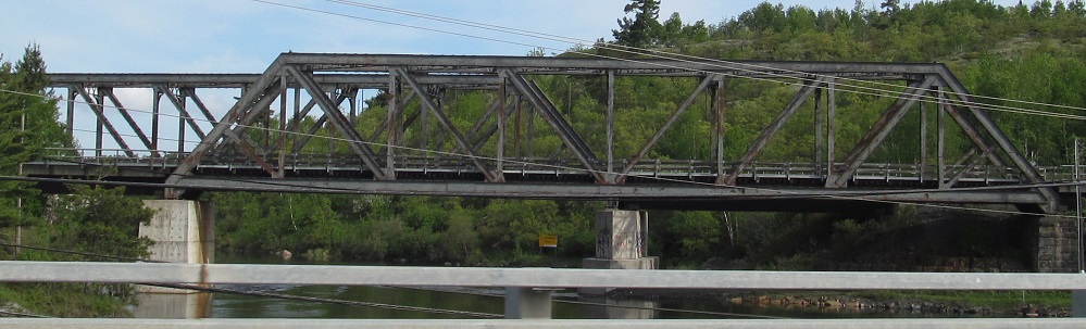
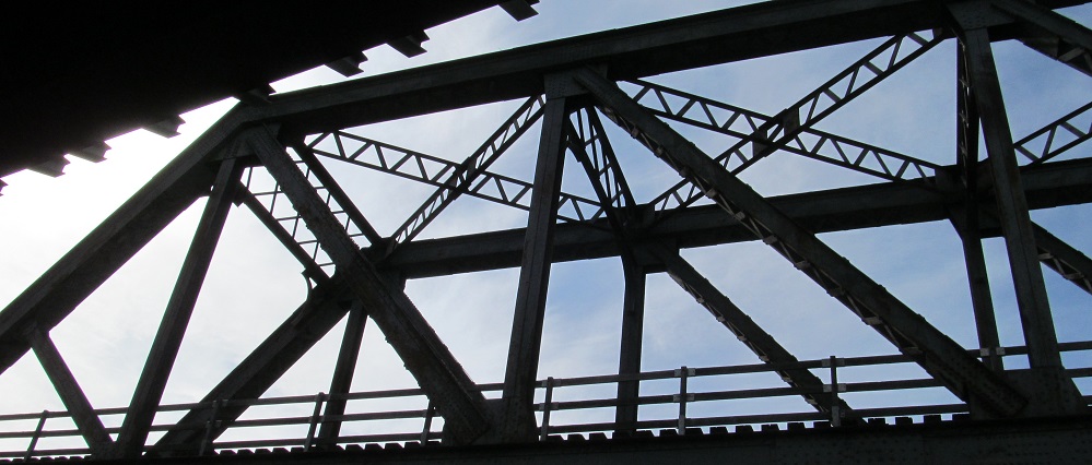
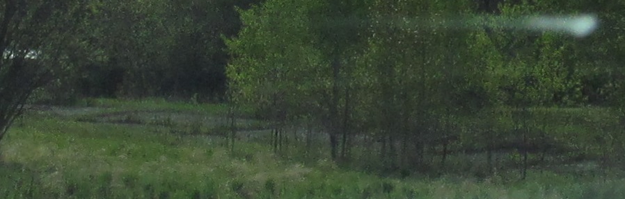
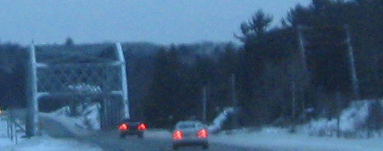
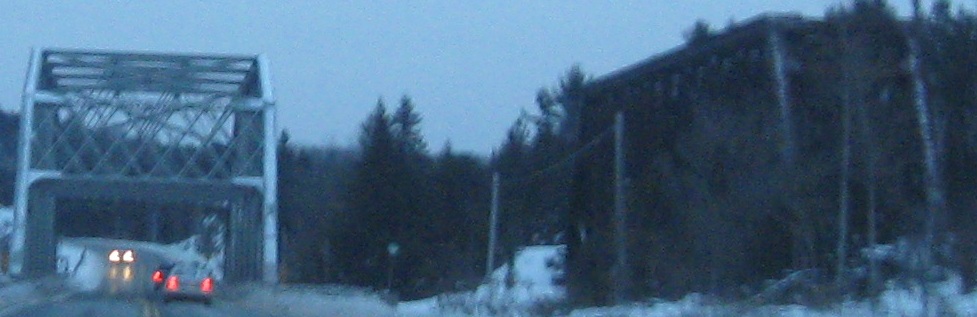
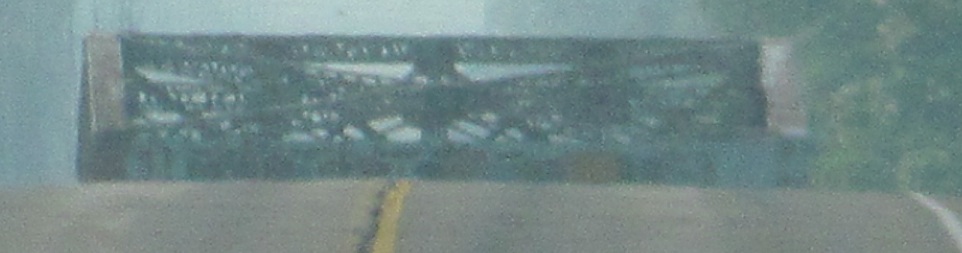
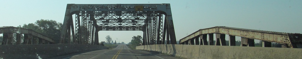
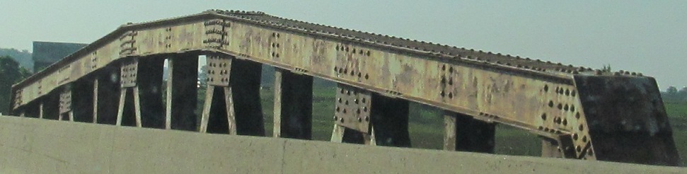
Starting where the western page left off, at McLeod Park in western Kenora. That page looked south at TCH 17, while this page looks north at the twin Canadian Pacific Keewatin Subdivision bridges over the Rideout Bay inlet from Lake of the Woods.
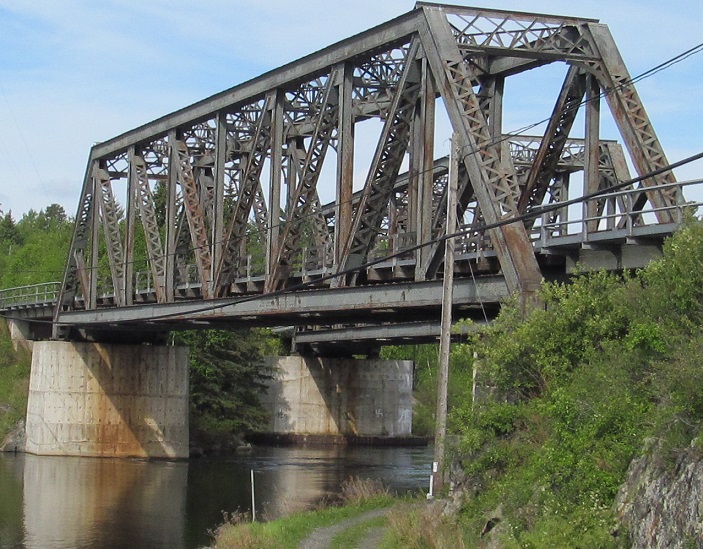
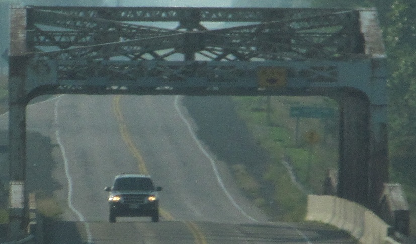
Steadily heading north under track 1 to track 2.
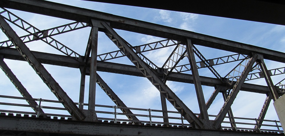
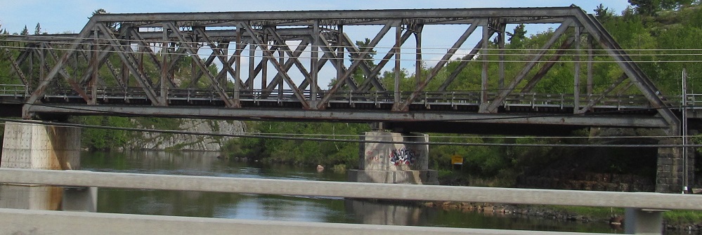
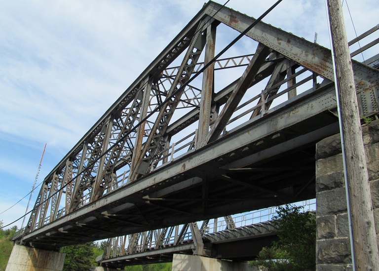
From there, looking back at the first bridge.
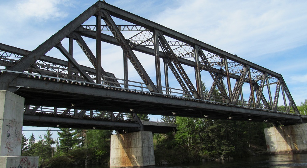
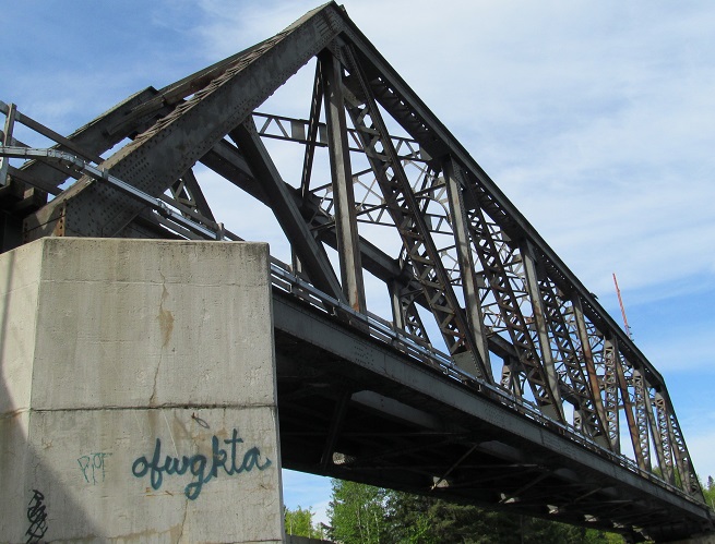
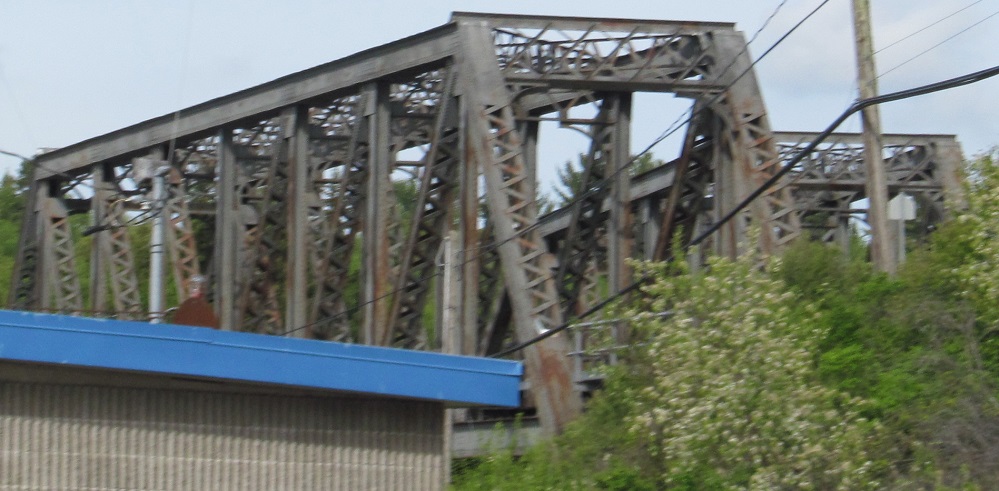
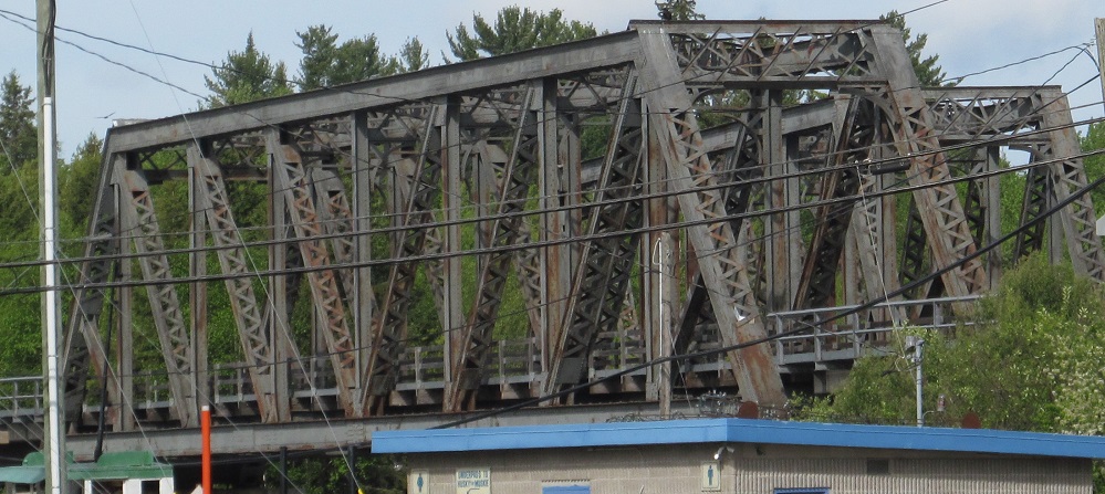
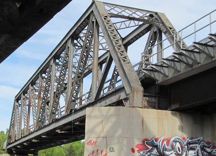
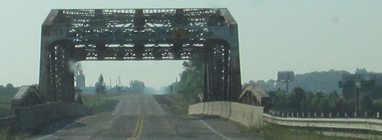
Finally, looking south from Rideout Bay at the northern bridge.
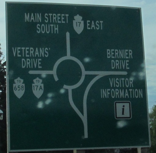
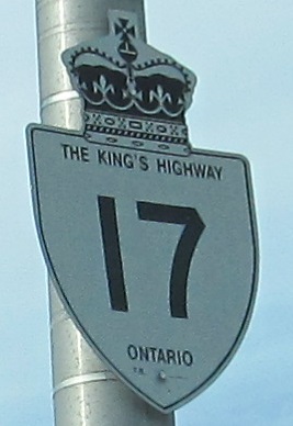
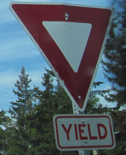
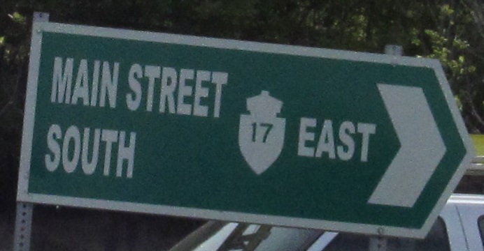
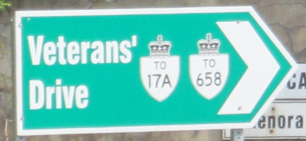
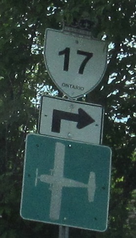
I can't even with this Kenora roundabout. It insists that Highway 658 is a primary route, not secondary. It includes apostrophes in street names. It has to tell you what a yield sign means. It can't decide on the font or capitalization. And somehow, there's still an old notched-7, straight-1 shield at the entrance.
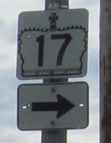
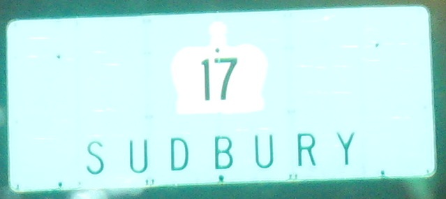
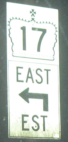
The font persists through downtown Kenora, and the city errs by using regular shields instead of the crowned trailblazers when paired with arrows. And again, a very old sign sits in the midst of it all.
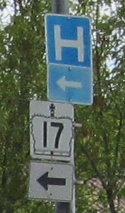
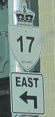
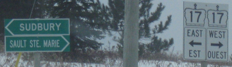
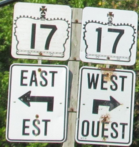
Finally, an EB and WB pair of correct and old shields at the last turn in Kenora set us straight to continue east.
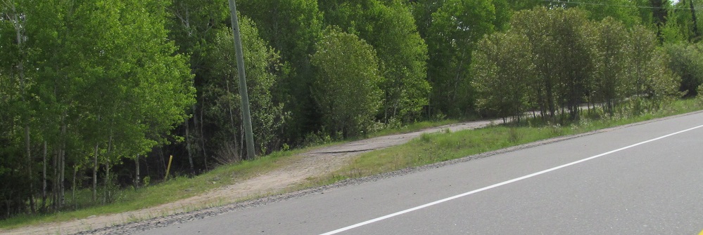
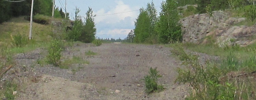
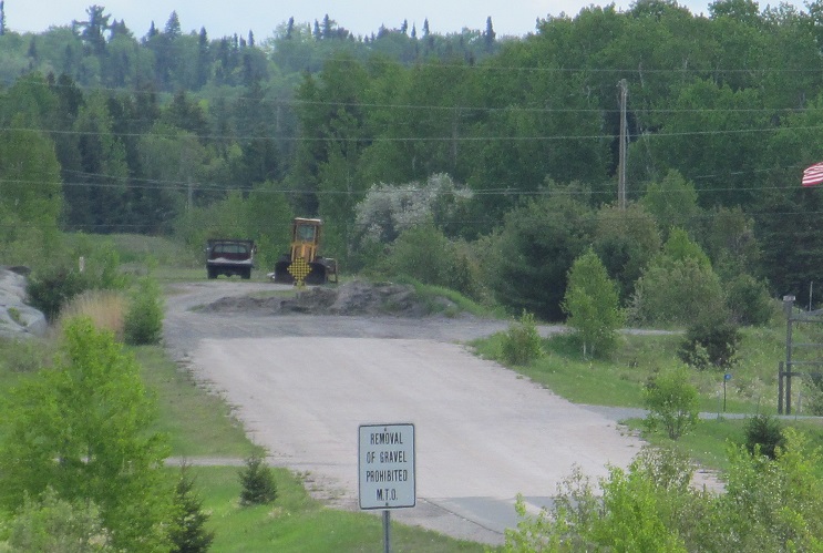
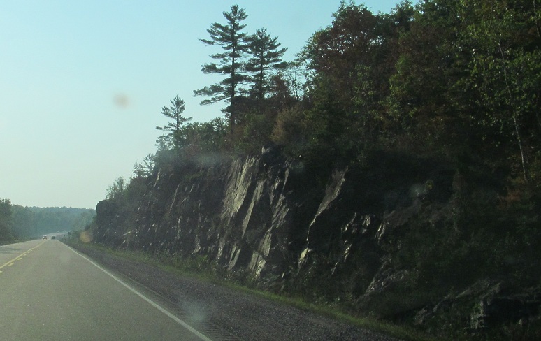
Several stretches of old alignment wind around the newer, straighter road as I travel east to the eastern Highway 17/17A junction. You can see the old road continue straight ahead as Highway 17 now bends left in the last two alignment photos. The one open stretch is accessed from Longbow Lake Rd.
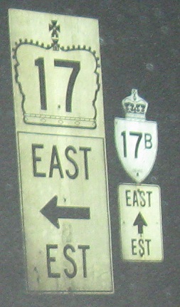
Continuing EB, there's still a Highway 17B close by, in French Bay.
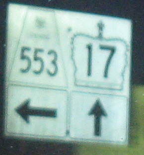
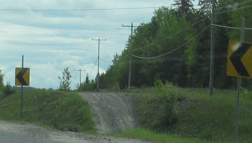
Passing secondary highways and heading out to the Spanish River. Most of the secondary highways (in the 500s and 600s) are north and west of Toronto, and there are even a few tertiary highways (numbered in the 800s). Since they're all provincially maintained, I don't see why the tertiary highways can't be numbered in the high 600s as secondaries. I'm not a fan of one-piece signs, but they're growing in use in Ontario.
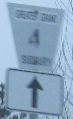
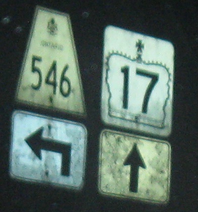
Greater Grand Sudbury Road 4 NB and SB at Highway 17 in Denlou. Greater Grand Sudbury is a city created by merging together the pieces of the former Regional Municipality of Sudbury. Since Regional Municipality could not have fit at the top of the shield, I presume at least one of those words was present and then pasted over, or maybe R.M. as an abbreviation (which other regions with long names are known to do).
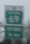
Pardon the blur, but the snow set in as the sun rose. That happens in early January in northern Ontario quite a bit. Trailblazers are white on green as seen here (to/vers Highway 69 Sud/South in 14 km), while shields are black on white. Why is "to" before "vers" but "sud" before "south"? It's very rare for the French to come first in any bilingual province.
 Storyland Rd., Renfrew CR 4, SB. Notice the old font on the left.
 EB past Highway 41.
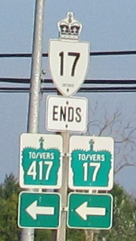
WB on what may not be Highway 17 very much longer, at what is no longer Highway 15 east of Arnprior. This piece was left stranded when Highway 417 was extended, but for whatever reason it wasn't decommissioned (Canadians prefer the term "downloaded") right away. Ontario wouldn't think of connecting it along former 15 back to 417, because that would mean reassuming maintenance of the small bit of 15 (under a kilometer). (I wanted to type "kilometre," but then I'd have to hunt down words like "colour.") That leaves Highway 17 as bizarrely ending by a sign that tells you how to continue on it.
EB on that disconnected segment of Highway 17, crossing Canada's Mississippi River. I know it's Canada after all, but you guys could have chosen a less famous name to copy, eh? Highway 17 ends at a sharp left onto Grants Side Rd., because that's where the old highway continued straight on what has now been taken over by Highway 417. (Actually, the original alignment turned on Kinburn Side Rd. and made its way onto what is now Donald B. Munro Drive, but that part was decommissioned long ago when 417 first made it out to Antrim.)
TCH 11 and TCH 17/11
Back west on TCH 17
Old Highway 17:
~ In western Ottawa
~ Ottawa Road 34/Wellington St.
~ Ottawa Road 174
~ Prescott and Russell County Road 17
~ Prescott and Russell County Road 4
Back to TCH 17 main page
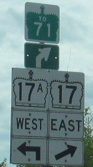
To TCH 71
To TCH 69
Onto the replacement, TCH 417
Back to Ontario Roads
Back to Roads