Ontario Roads - TCH 11/17 - Ft. Frances-MacGregor Rd.
 and Trans-Canada Highway 11/17
Fort Frances to MacGregor Road, Thunder Bay
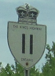
Heading east through Fort Frances. The last photo is alongside the Rainy River.
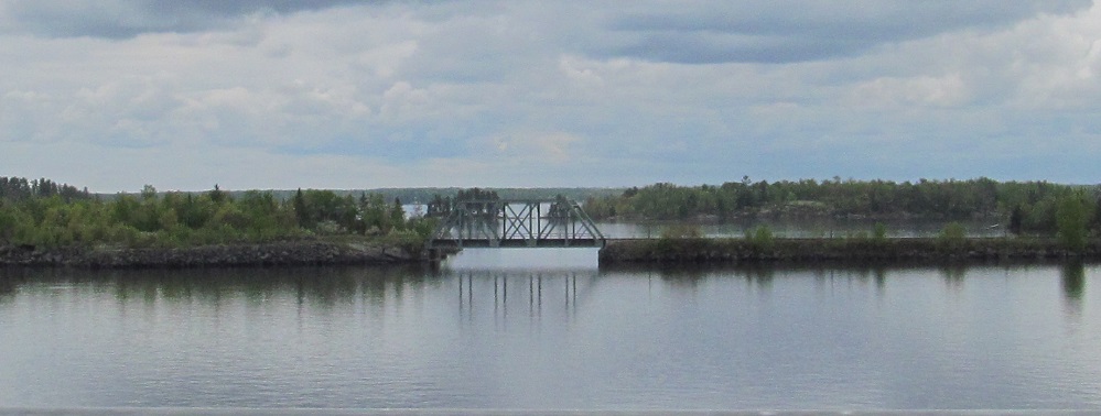
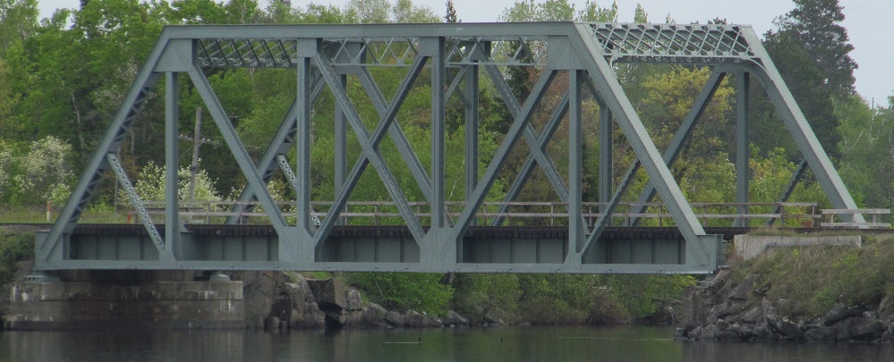
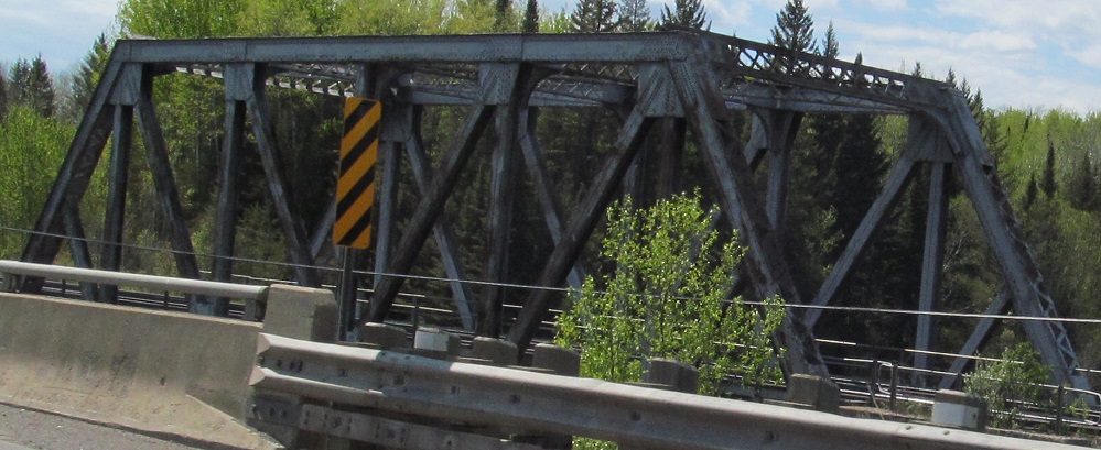
The truss component of a multi-island railway bridge across Rainy Lake. Guess which river flows into it.
Continuing east to Highway 11B to Atikokan. I'm unsure of that font, but hey, this is the only green secondary shield on this page.
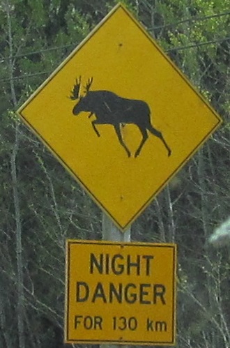
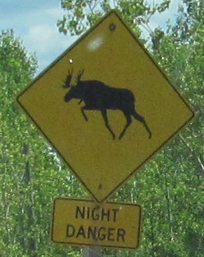
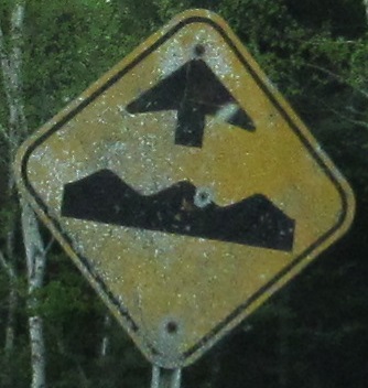
There's another word for this animal besides "night danger."
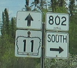
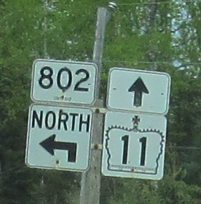
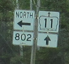
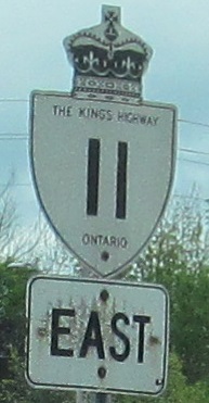
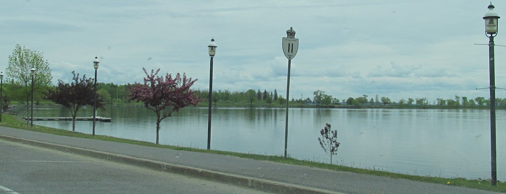
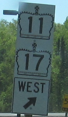
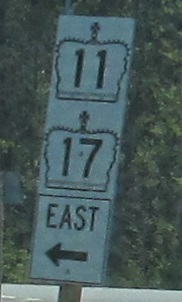
Continuing east to one of Ontario's few tertiary highways, which gets a plain rectangular shield. Notice how none of the assemblies are assembled correctly. They're all done with pairing the taller shield with the taller directional sign, whereas shields should be aligned and directionals should be aligned.
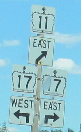
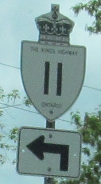
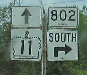
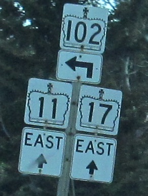
More arrow fun as solo TCH 11 comes to an end. That top arrow should not extend to the border, and the two highways that go to the right really should have the same arrow.
Looking northwest at a railway truss across the Shebandowan River in Sunshine, and then east.
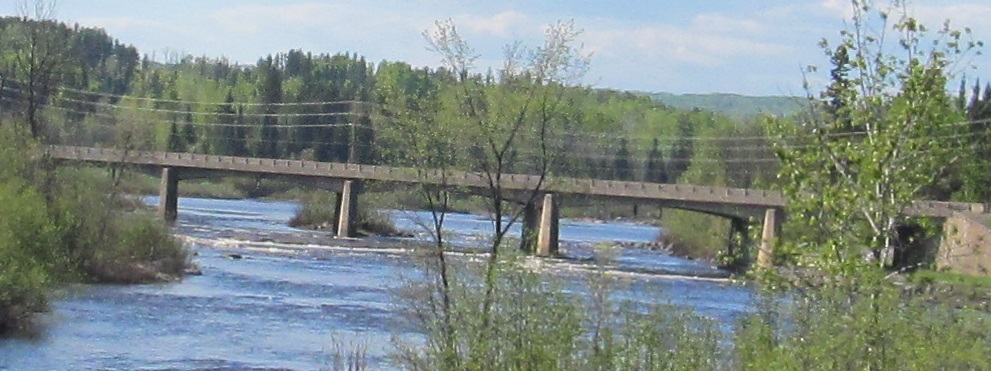
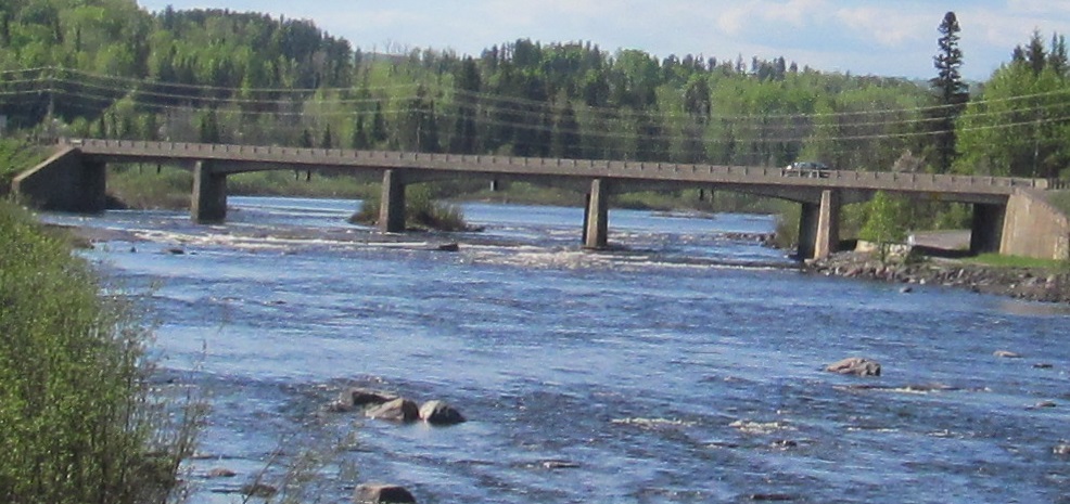
Views of the Kaministiquia River TCH 11/17 bridge from Kakabeka Falls.
One-piece signs entering from the Terry Fox monument rest area east of Thunder Bay.
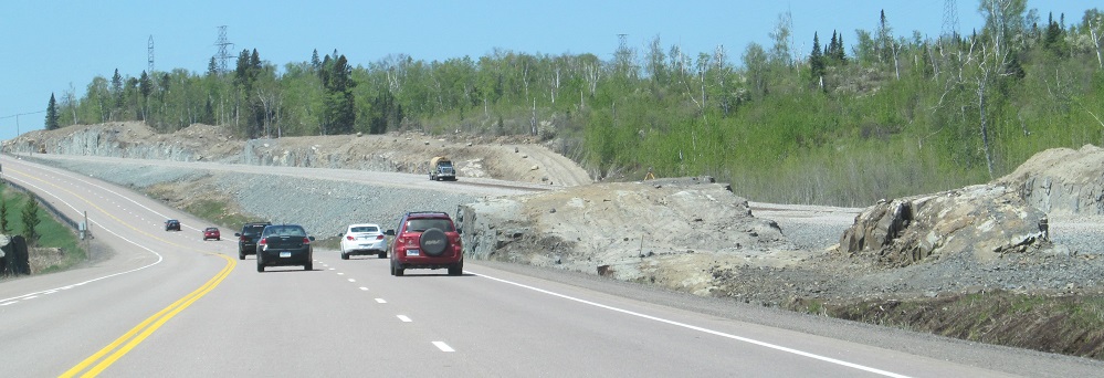
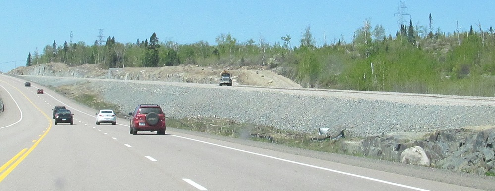
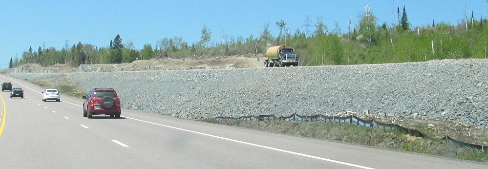
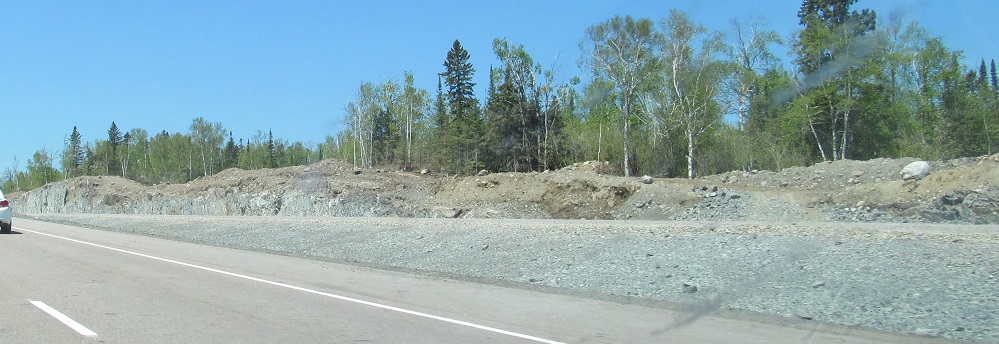
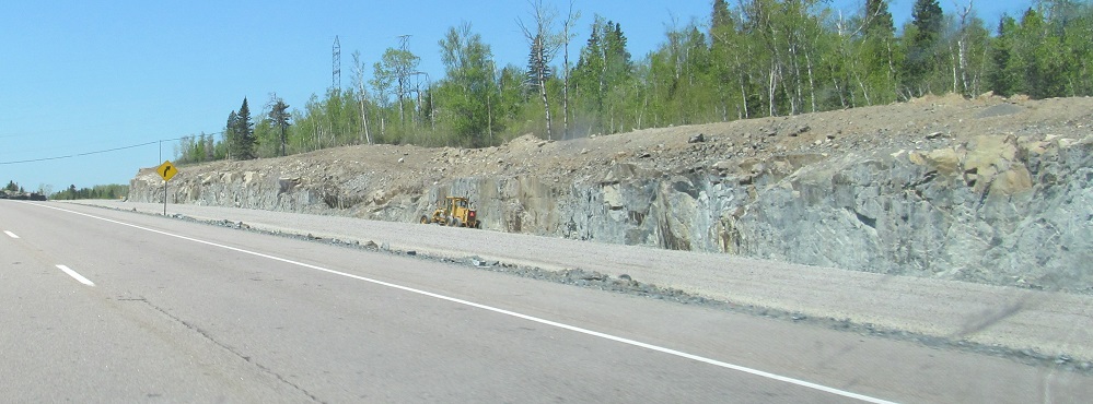
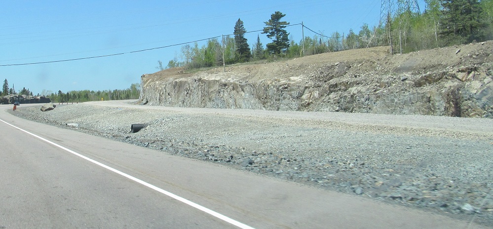
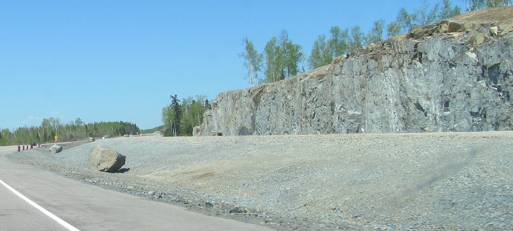
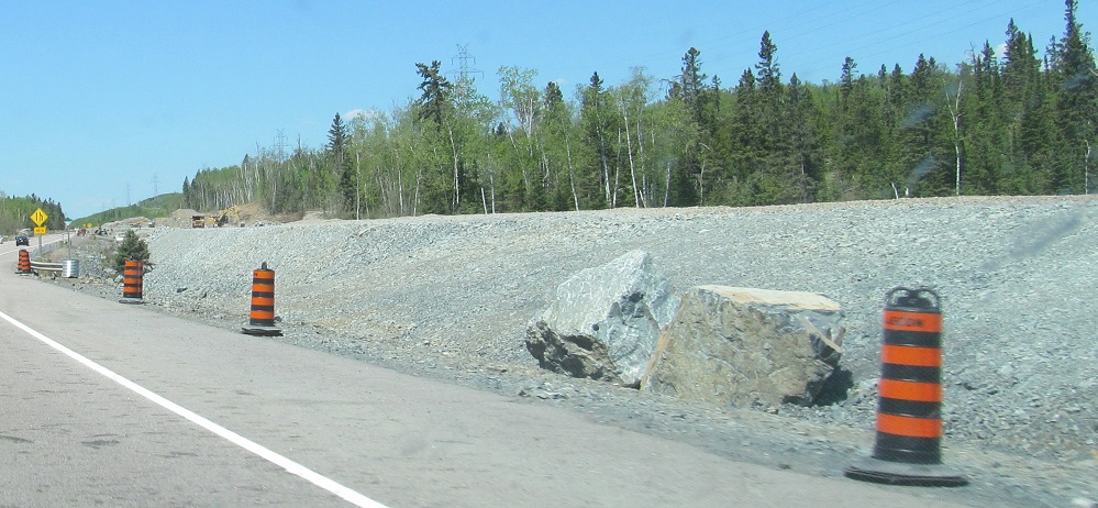
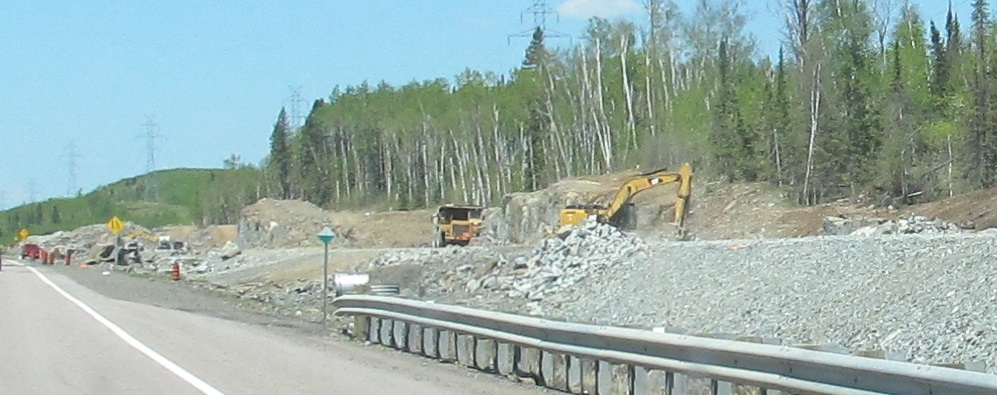
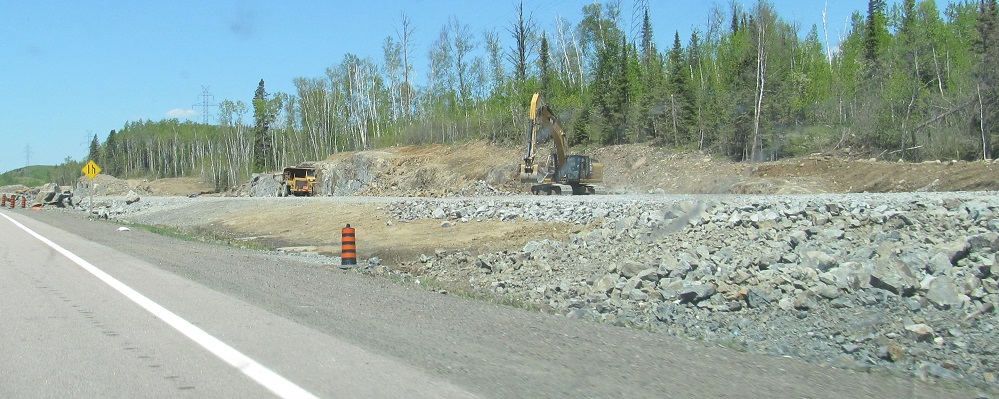
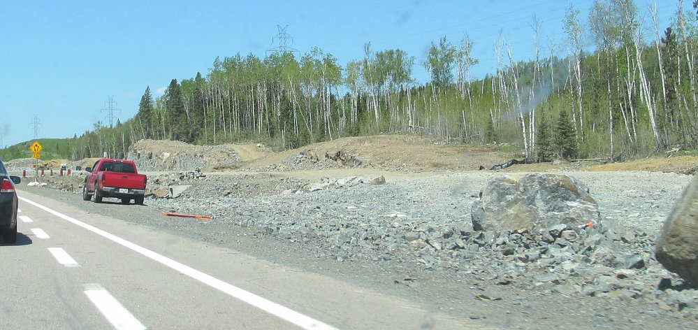
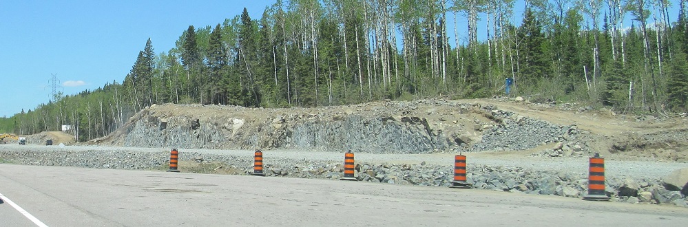
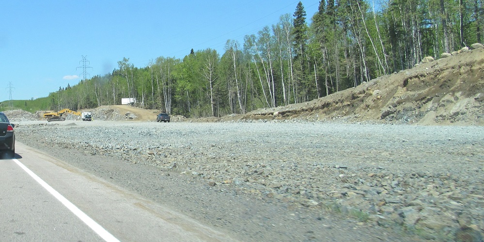
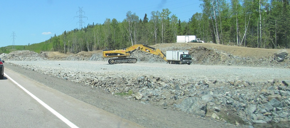
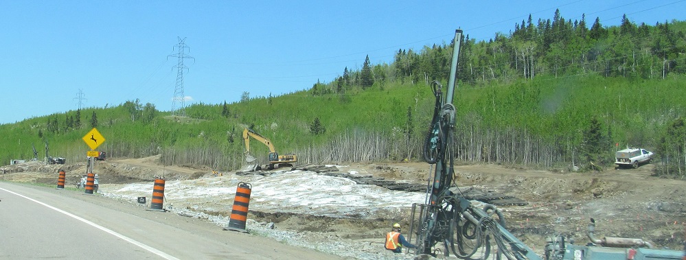
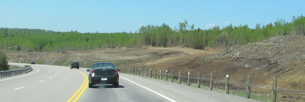
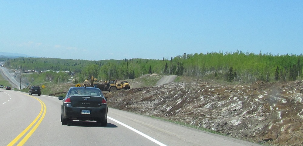
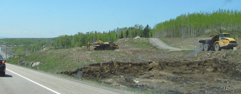
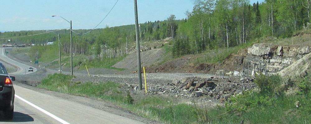
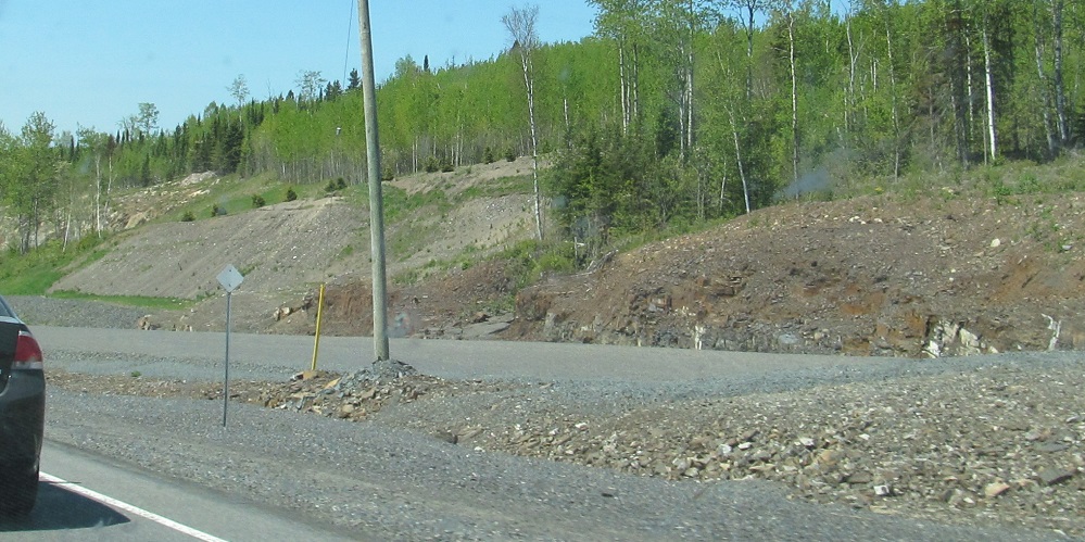
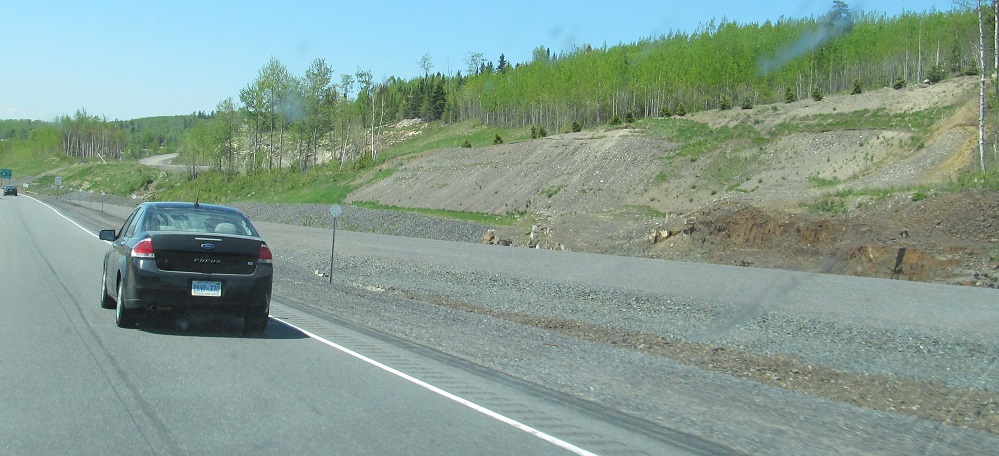
Westbound dualization construction from MacGregor Rd. west to where dualization began a few kilometres west in 2013.
Continue east on TCH 11/17
Onto TCH 17 alone
Onto child route Highway 11B, Atikokan
Back to TCH 11 main page
TCH 11/17 Non-Roads
Back to Ontario Roads
Back to Roads