Ontario Roads - Highway 401 - Whitby & E.
Highway 401, Whitby and east
Photos are all eastbound until the breakline.
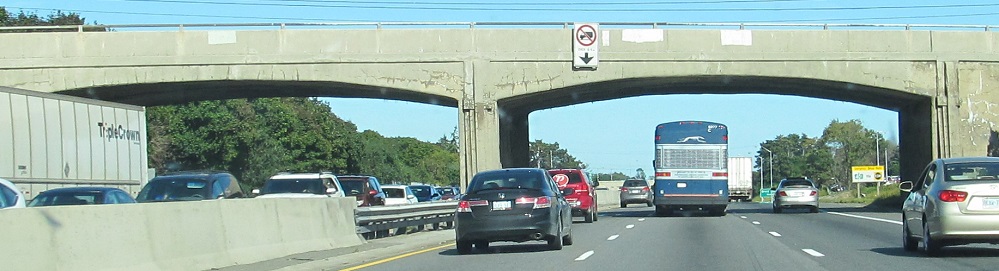
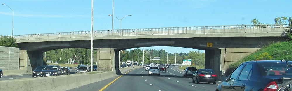
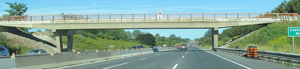
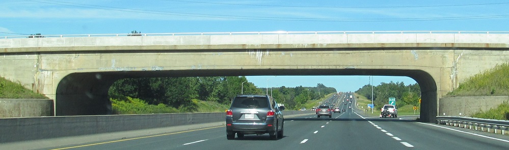
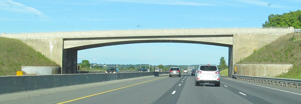
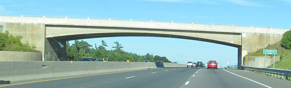
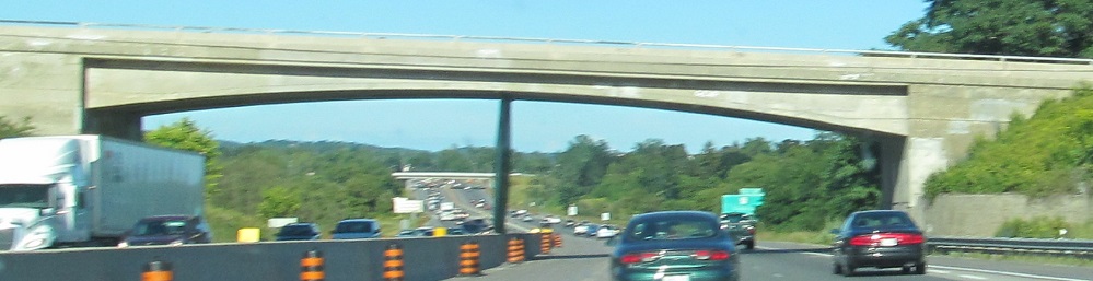
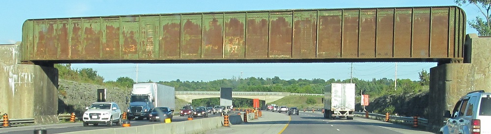
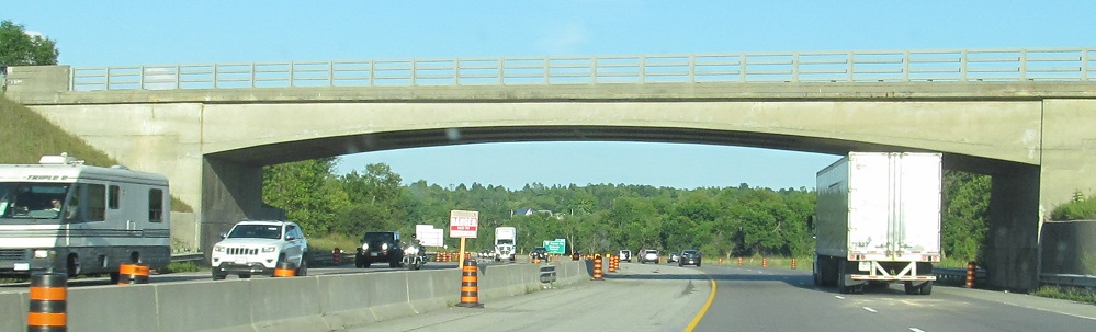
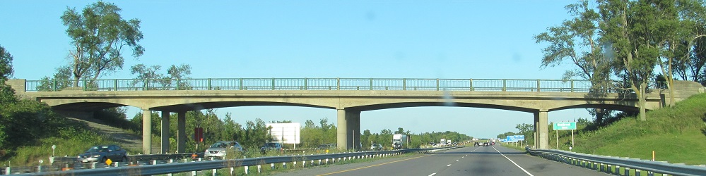
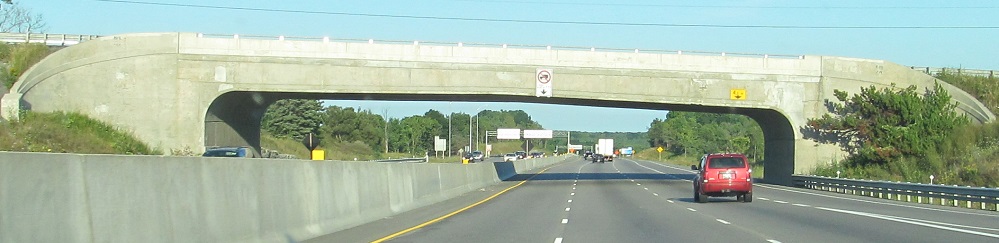
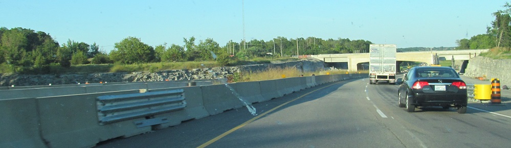
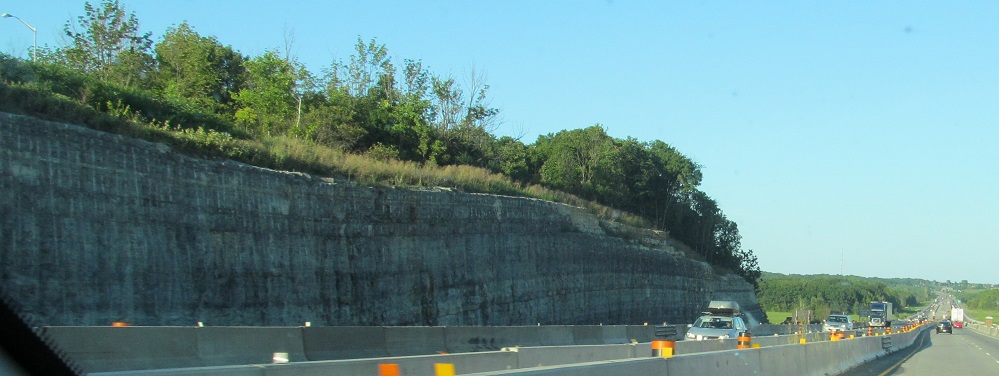
Original overpasses: Henry St. (Whitby), Bloor St. (Oshawa, Exit 419), Cobbledick Rd. (Clarington, 2 photos), Durham RR 17 (Newcastle, Exit 440), Wesleyville Rd. (Morrish, Exit 456), Cranberry Rd. (Port Hope), Burnham St./Northumberland CR 18 (Cobourg, Exit 472). The original highway through here was 2 lanes each way, and so shoulders were eaten and lanes narrowed to fit the third lane.
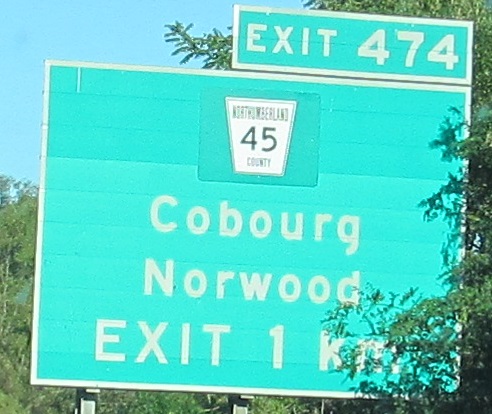
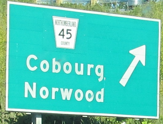
I wouldn't have guessed these signs were old enough to be for King's Highway 45, but you see the patches.
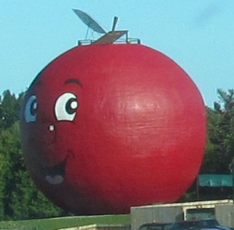
I wouldn't have guessed this was called the Big Apple, but... yes I would.
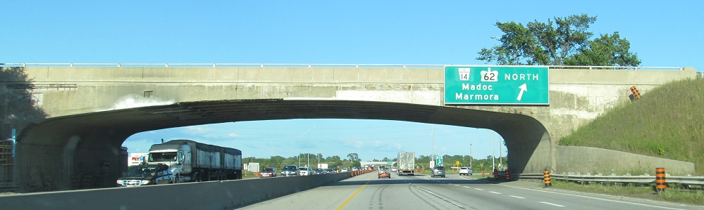
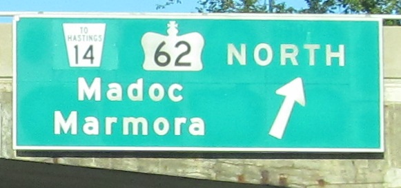
Not all of Highway 33 was decommissioned; the L-shaped route remains provincial on Loyalist Pkwy. east of Highway 62.
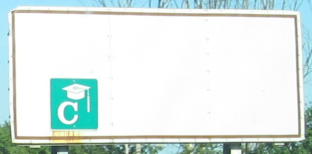
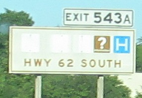
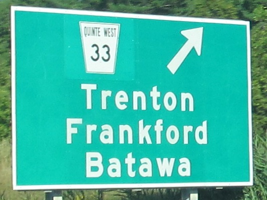
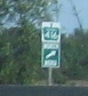
I might have guessed this sign is old enough to reference Highway 14. Every road seems to have been a King's Highway once, and I guess that's why so many were downloaded. Most of the interesting stuff seems to have left Belleville, but you can still get C at Exit 538. (College.)
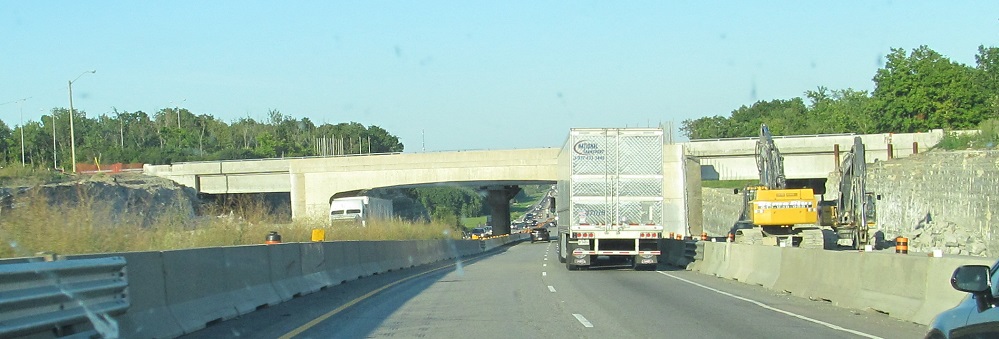
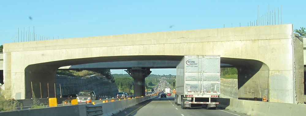
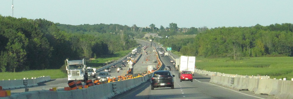
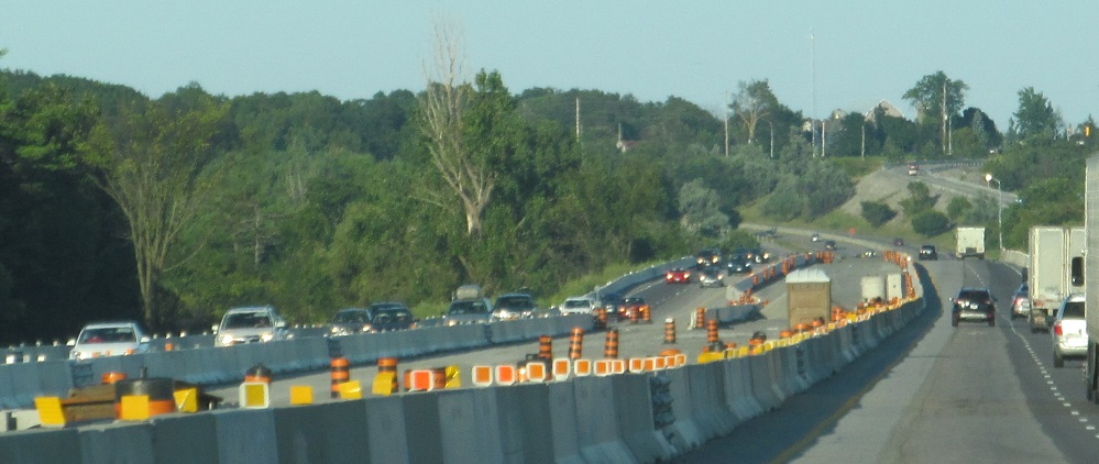
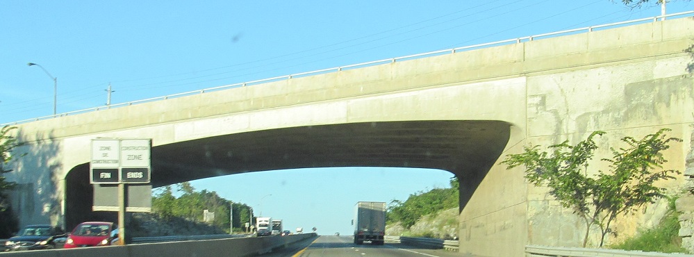
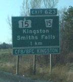
A bunch more bridges, starting with a railroad bridge with not a trace of railroad on either side, then Newburgh Rd. (Lennox & Addington CR 1), two of Westbrook Rd. in Kingston, and Frontenac CR 9 (Exit 613). That's a truly unique one. There is widening on either side of Frontenac CR 11 (Exit 619) as Highway 401 is expanded from 4 to 6 lanes around Kingston in 2014, and you can see the road has already been shifted to the longer and more boring new bridge. The work zone ends at Frontenac CR 15 (Exit 623), so that original overpass is safe for now.
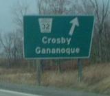
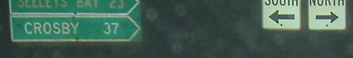
A taste of County and Regional Roads, WB on 401, courtesy Doug Kerr. CR 32 is signed from the freeway with the county name spelled out, rare in Ontario for a highway guide sign; RR 15 is signed more normally. The Highway/RR 15 duality showcases the fact that like many states, primary highways can become secondary (think Tennessee), except in this case it has been downloaded from state to county maintenance. In 1997-98, a good number of Ontario Highways were turned into RR's/CR's.
Half a photo is better than none. Those are RR 32 shields on the right, and older distance signs to the left, at the top of the WB Exit 645 ramp.
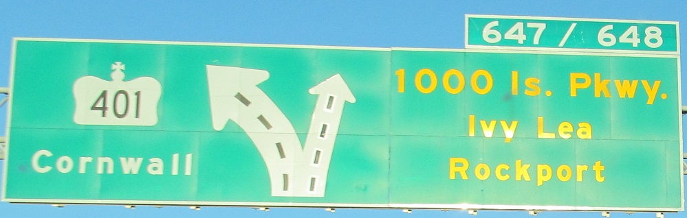
EB and WB at the western and eastern ends of the Thousand Islands Parkway, which was at one point planned to be upgraded to Highway 401, second photo courtesy Doug Kerr. For those 40 or so kilometers, Highway 401 gets CR 2 to the north and the TIP hugging the coast as parallel roads. Exit 648 is a new number signed for the split to CR 2 (Leeds & Grenville). Why is the TIP signed in yellow? Chris Bessert sez: same reason the Baltimore-Washington Parkway gets brown BGS's... it's a scenic parkway. Way cool gantry in that second photo.
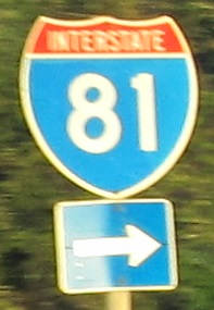
Ontario's attempt to sign an Interstate (EB and WB respectively), another cool gantry, and lack of an exit tab, and another Doug Kerr photo (WB). Also lack of route signage - this is secret Highway 137. Though a freeway, it will turn to two lanes in order to cross over to New York.
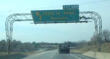
Just up CR 5, these signs face the EB Exit 675 offramp, and the photo is courtesy Doug Kerr. The 1,000 Islands Parkway trailblazer is the only two-line distance guide sign I've seen, and it's only because Ontario never came up with a shield for the Parkway.
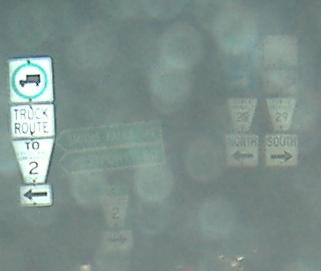
Assorted Regional Road shields at night, at the top of the EB Exit 696 ramp to RR 29. Ontario likes adding "TO" straight into its Highway shields, but apparently Leeds & Greenville County couldn't figure out how to do it and had to resort to an LGS.
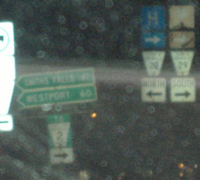
The westbound offramp, courtesy Doug Kerr, showing the LGS much more clearly. Counties is used here instead of County, but since the two merged they really should be in the singular. (It's technically the United Counties of Leeds and Greenville, but if they want to be Counties, they shouldn't have United.)
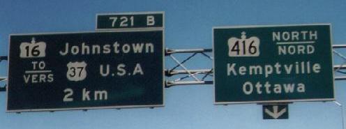
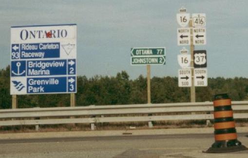
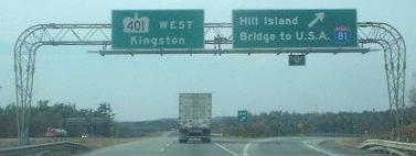
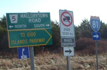
EB at the southern beginning of Highway 416 (Exit 721A), which runs to Ottawa and nearly turns into A-5 in Québec (ends a bit too far to the west at Highway 417). This is also the location of Highway 16 (Exit 721B), which used to run to Ottawa along the same path 416 takes but now is only a couple of km long; old 16 is County Road 44, and new 16 comes off of 416 to serve the shortest Ontario Highway. Finally, the first and last photos are the last by Doug Kerr on this page. (My tiny one is in the middle; my excuse is that it was taken from Cedar Grove Rd. across the WB side of the highway.) By the way, that's Ontario's failed attempt to come up with an NY 37 shield... looks awfully much like a different type of shield altogether. I guess ON doesn't have any NY shields on hand and it's too much of a pain to go across the border and pick some up.
Another Averill Hecht historical photo, showing the "last" (his assertion) bilingual, trapezoidal exit sign in Ontario (or at least on the 401).
Back west on Highway 401
Back to Highway 401 main page
Exits 647 and 685 to 1000 Islands Pkwy., old Highway 401
Into Québec on Autoroute 20
Onto secret Highway 137
Follow secret 137 to I-81 in New York
Exit 696 to RR 29
Onto Highway 416
Exit 721B to Highway 16
Exit 721B to NY (not US) 37
Back to Ontario Roads
Back to Roads