Ontario Roads - 1,000 Islands Pkwy./old Hwy. 401
1,000 Islands Parkway, former Highway 401


Here are a few of the Thousand Islands this parkway is named for, probably Dobbs, Perch, and Hogg Islands in the St. Lawrence River. Many of the islands are at least seasonally populated with cabins.


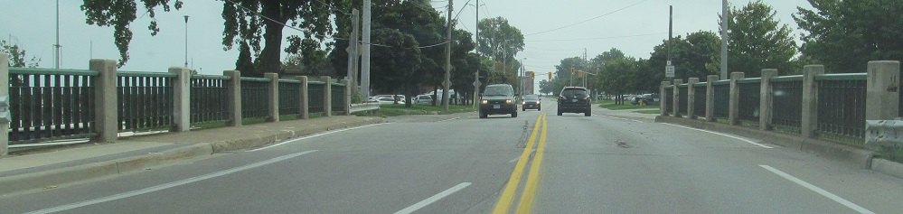
1,000 Islands Pkwy. was the original route of Highway 401 for many years, but the number of at-grade intersections and private accesses led to the current freeway alignment being constructed instead. Thus you have a dual truss bridge where only the EB carriageway is and was ever used, with the planned WB lanes now used for parking and a fishing pier.


Looking north and south along Landons Bay. Much of the ROW reserved for Highway 401 WB is now a bike trail.


Continuing east to the major junction of the route and perhaps the only standalone Highway 137 shields in the province. These are also likely the only I-81 shields anywhere with a combined SOUTH and arrow in the banner (that's an Ontario style, but most I-81 shields in Ontario are on guide signs).
EB at Mallorytown Landing (the fuzziness in the background is trying to spell that out), once again courtesy Doug Kerr. CR 5, which shouldn't be yellow normally (except this parkway replaces white with yellow because it's special), leads to Highway 401 Exit 675.
Onto current Highway 401
Onto Highway 137
To I-81
Back to Ontario Roads
Back to Roads