Oklahoma Roads - US 64 mainline
US 64 mainline
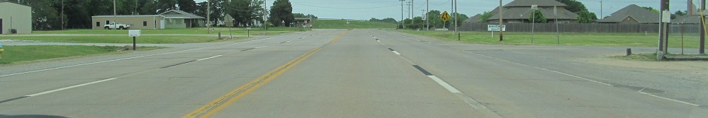
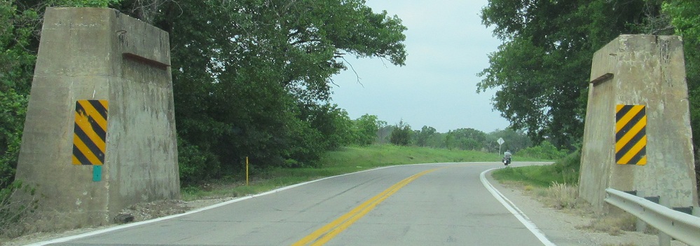
Five US highways come together in Enid (oiginally four). Here, to the north, US 64 WB (4th St. NB) meets US 60/US 81, and the divided highway clearly begins, not ends. US 60 and 64 split in opposite directions from 81 near Pond Creek.
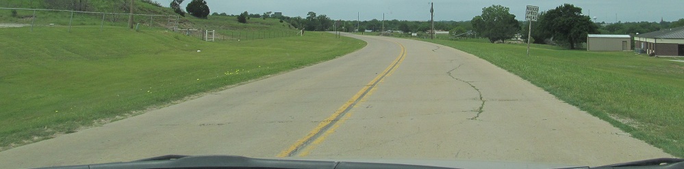
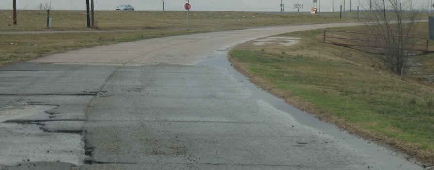
Old US 64 heading WB into Perry on what becomes Cedar St. The old route headed back north to Fir St. anyway, so it makes sense to keep US 64 on Fir the whole way.
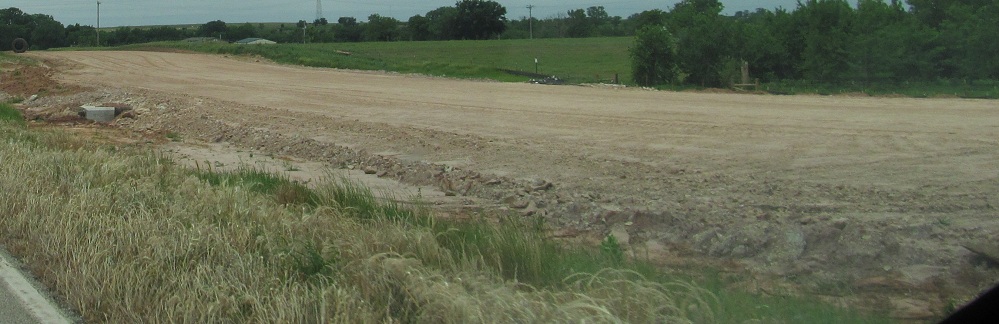
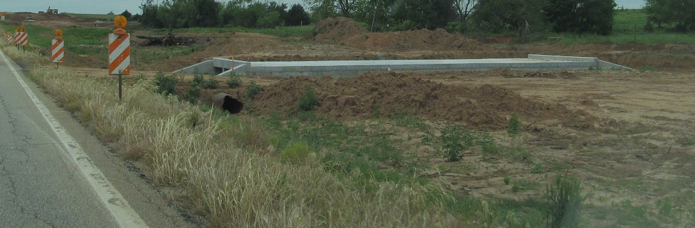
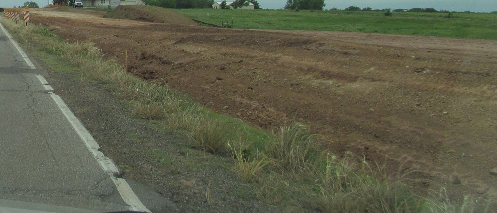
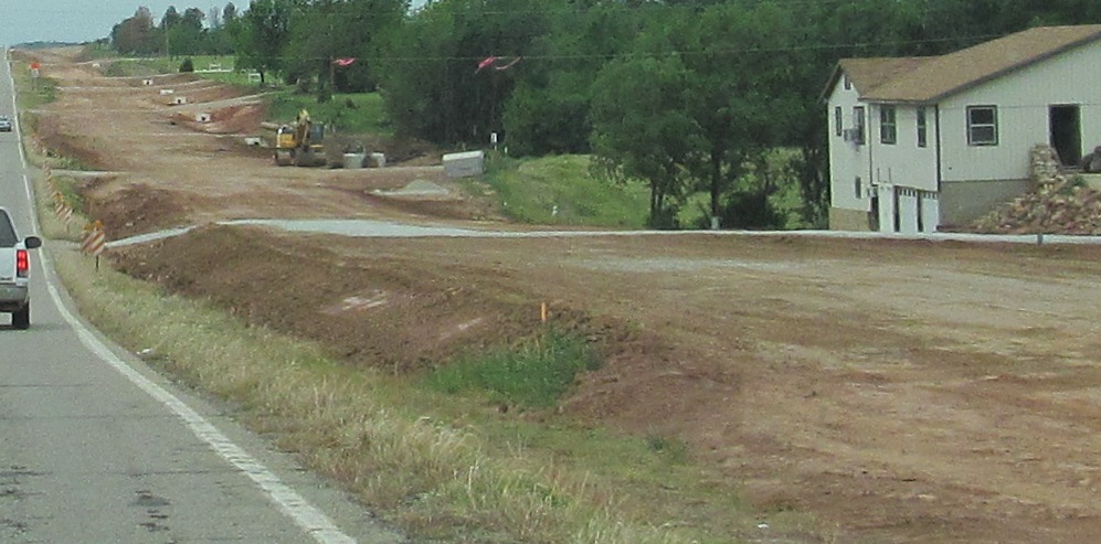
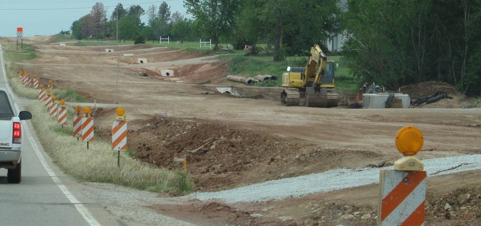
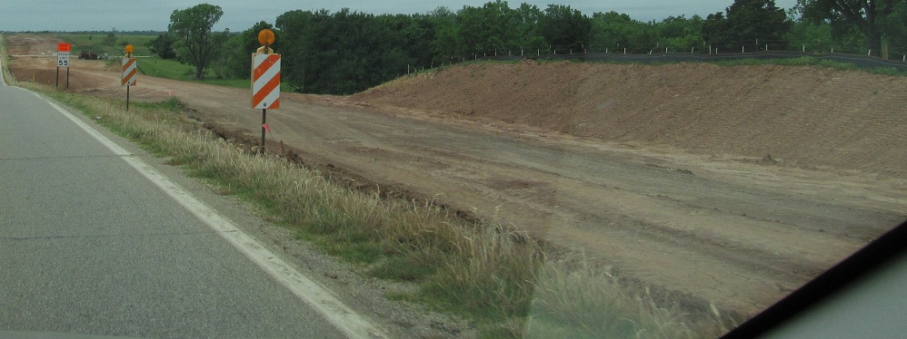
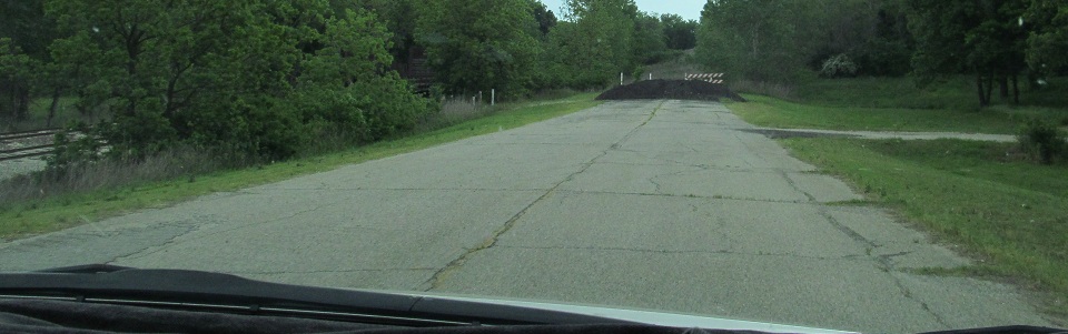
WB through construction to widen US 66 east of Perry out to US 177.
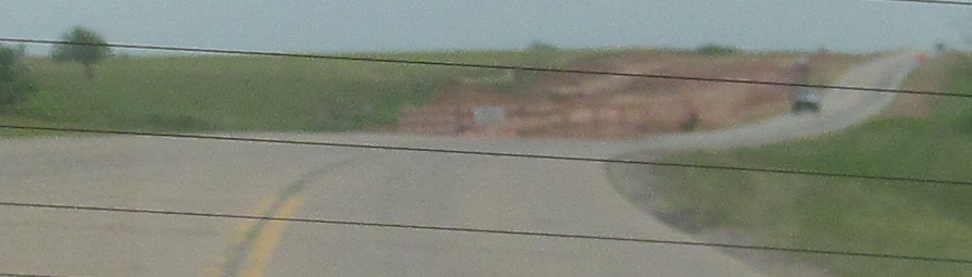
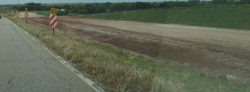
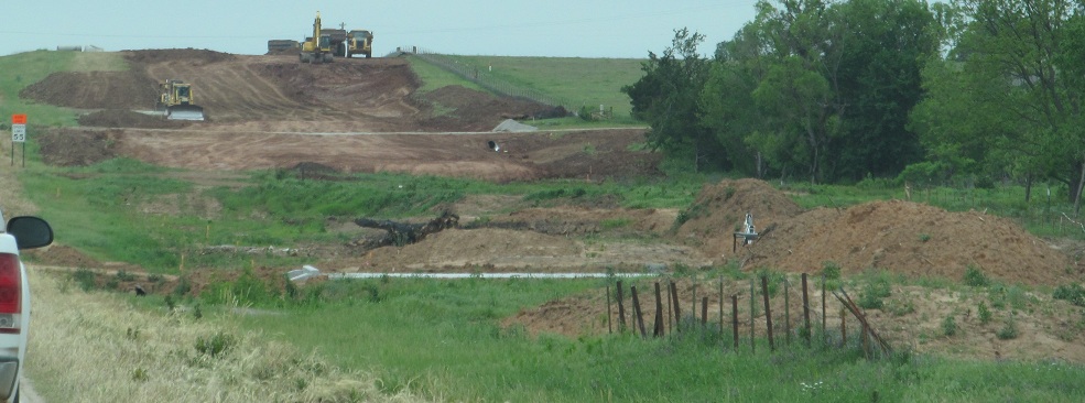
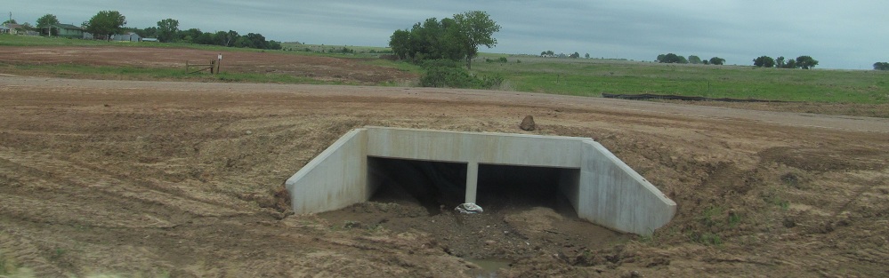
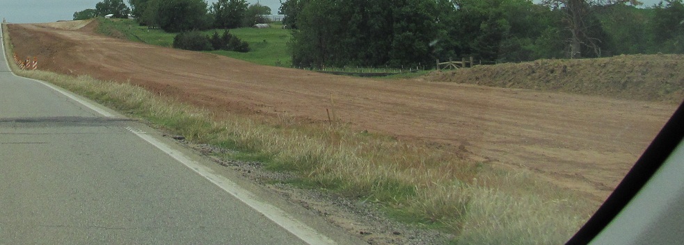
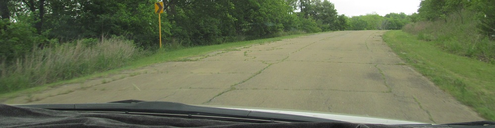
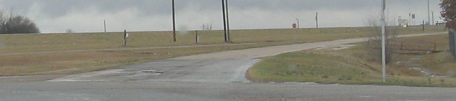
One look east at the beginning of construction from where Cedar St. meets modern US 64 outside Perry.
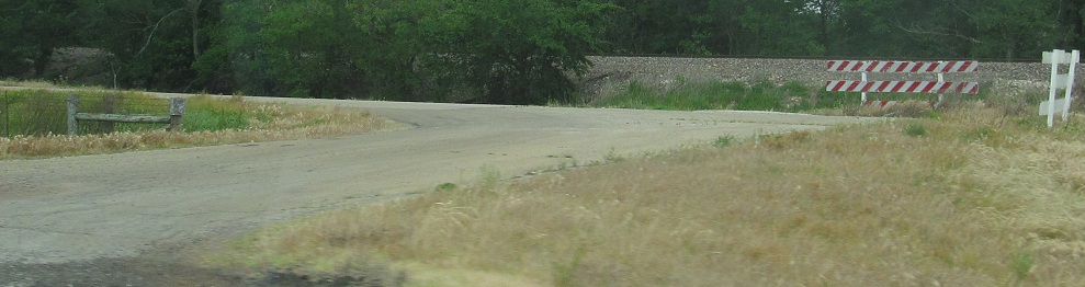
An old alignment branches north of US 64 and heads WB to the west of Pawnee.
Unfortunately it's not a through road, so back east I go.
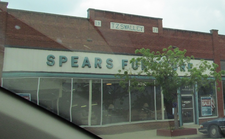
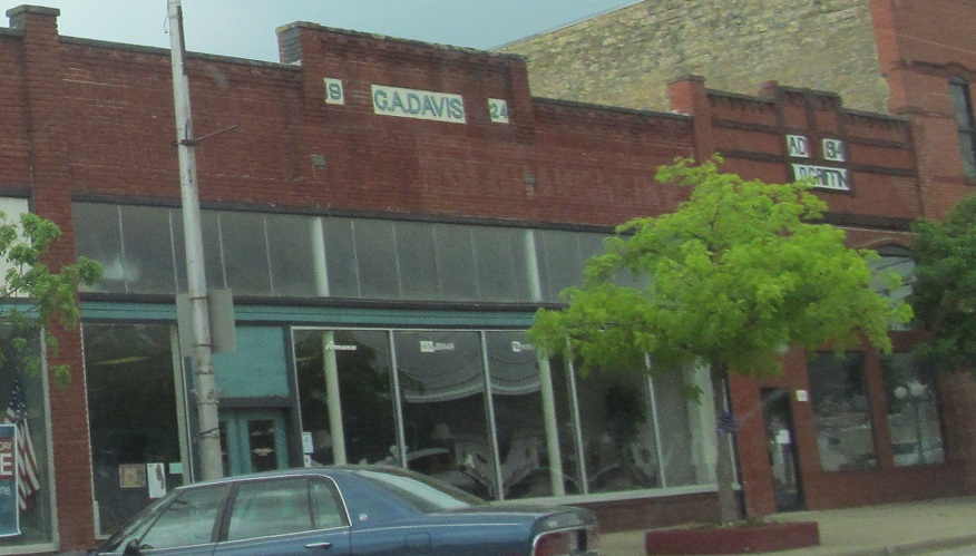
WB at 6th St. in Pawnee, then a block of three buildings seemingly with unusually like-minded designers.
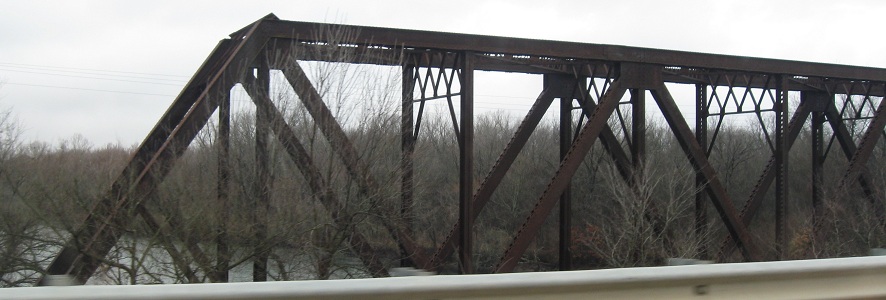
I'm noticing most of the photos on this page are westbound. No exception, this former railroad overpass is a mile west of Skedee Rd. Say it out loud and smile.
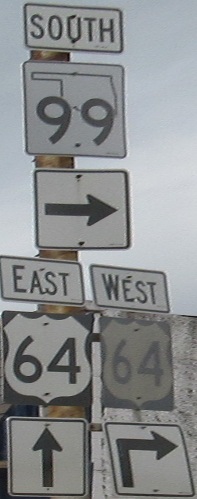 OK 99 SB joins US 64 in Cleveland.
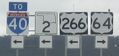
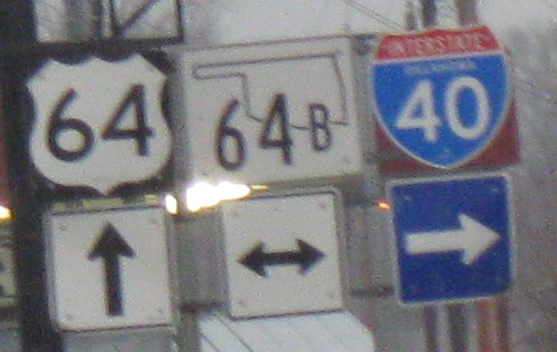
WB at the beginning of one of the shortest US highways ever conceived (down to just 42 miles long), but an important standard-bearer of the US 66 franchise. Please ignore the non-cutout I-40 shield for the moment and take a look at old US 64 curving away from the mainline to the north. Up in the nether regions of the second photo, former US 266 EB comes to a stop sign and ends at former 64.
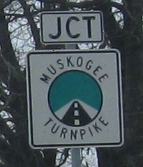
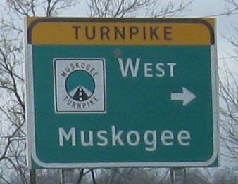
I'm not a fan of the Turnpike shields because I can't read them. These are my only photos clear enough to read the Turnpike names, and the symbol in the middle of all of them is exactly the same, so you can't just tell them apart by a quick glance. Also, having the word "Turnpike" on top of a sign that already says "Turnpike" in the shield is pointless - it should say "Toll." These, like most of my photos, are WB.
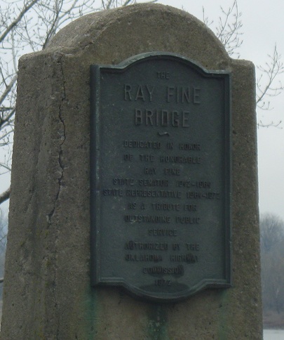
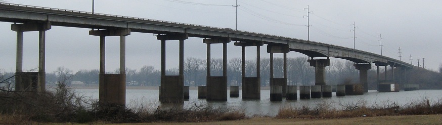
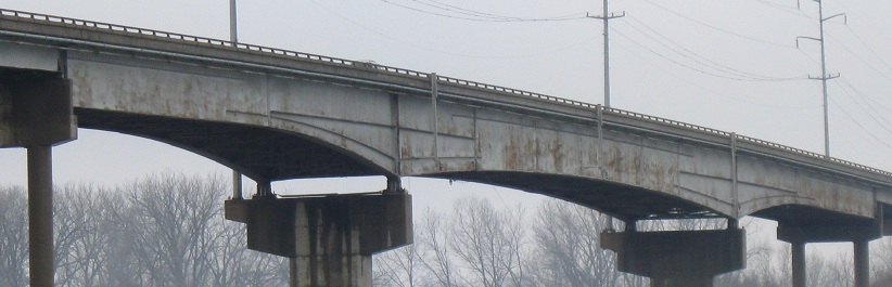
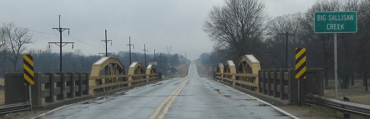
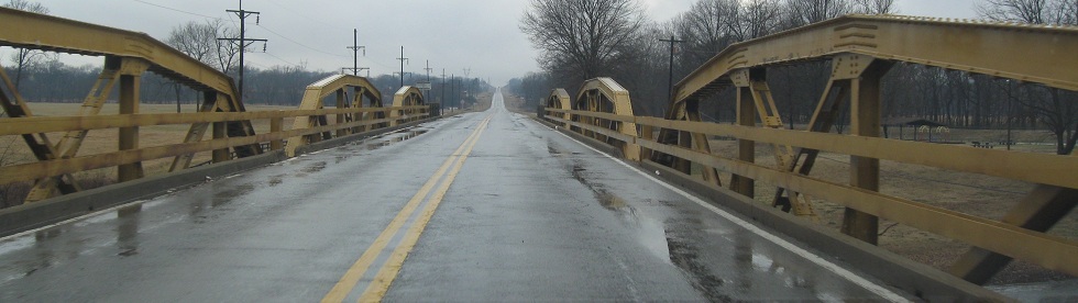
I stopped and backed up (safely, of course) to make sure I got these Fine Bridge photos to come out, well, fine. I'm on the eastern shore of the Arkansas River looking west.
Another state-named river, the Illinois, and a railroad bridge just south of US 64.
The WB and EB faces of a quite old sign west of Vian. Anything after the 1960's would be white on green, blue, or brown.
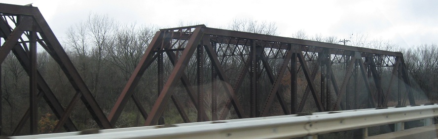
One more truss, yes, WB.
Oklahoma's new state route shield and a typical state-name Interstate shield, EB at Main St. in Muldrow.
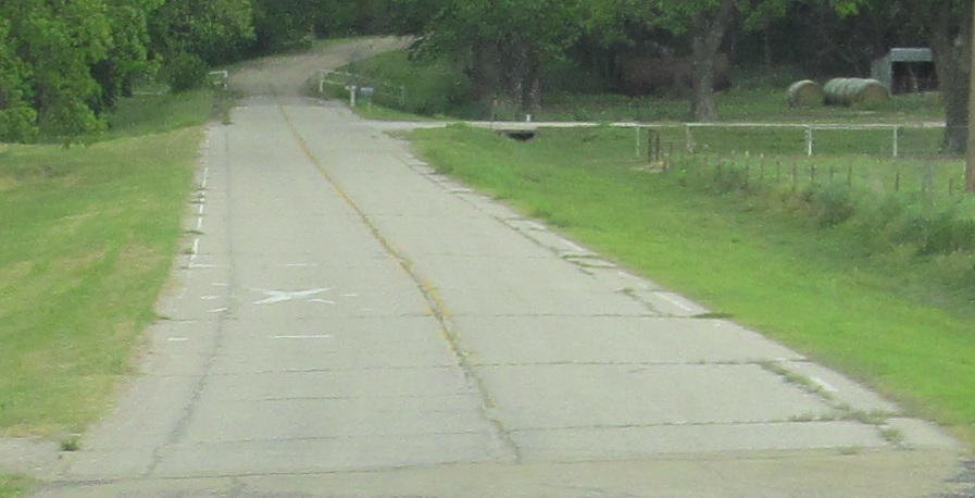
Old US 64, Garfield County
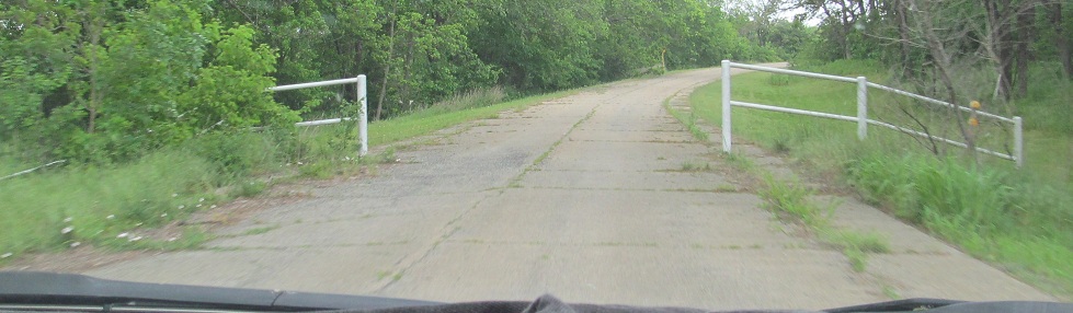
Old US 64, Pawnee County
OK 18 and US 64/OK 18
OK 51 and US 64/OK 51
Back to US 64 main page
Onto US 266
To I-40
Onto Muskogee Tpk.
Back to Oklahoma Roads
Back to Roads