Oklahoma Roads - Abandoned I-44
Abandoned I-44, Will Rogers Tpk.
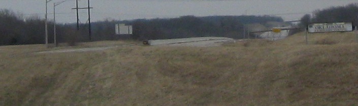

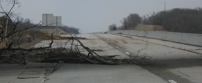
Looking east from OK 66 EB as it leaves I-44 EB at Exit 241. OK 66 now leaves about a half-mile to the south but it used to diverge from about where I'm taking this photos, back when I-44 continued northeast on a straight diagonal into Will Rogers Turnpike. Nearly all of the old Turnpike is still there. The sad part is that there was no reason to abandon this highway, even after Creek Turnpike was built. Even with all of the existing road system in place, having I-44 go this way would make more sense than bringing it through the Creek Tpk. interchange. But the decision was made to have unsuspecting I-44 WB traffic continue straight on Creek Tpk. if they don't exit to stay on the highway, bypassing Tulsa to the south at the cost of more toll money for Oklahoma. As a result, and maybe to save some of that toll money for another salary, the old highway was just abandoned in situ, cut off a certain distance from OK 66 without removing the signs or breaking up the pavement to allow it to return to nature.
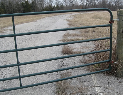
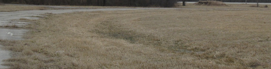
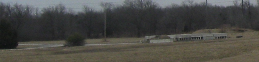
In the northeast quadrant of the interchange was a former maintenance yard or other Turnpike facility. The old I-44 WB-OK 66 EB ramp skirted the facility to the south and west. The first two photos are the driveway down to the facility, still striped and ready for use, and the last is a photo from OK 66 EB leaving the former I-44 alignment. I wonder whose barrier segments those are now, because if this is Turnpike land, there's no good way to get them onto the Turnpike.
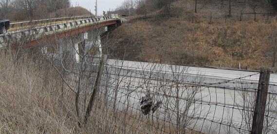
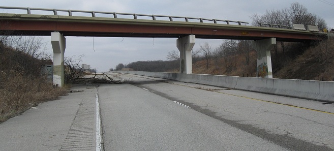
The Tulsa Road Meet came up Pine St. to the first overpass of the abandoned highway. These photos look southeastward.
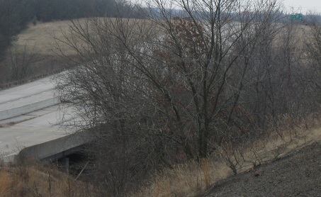
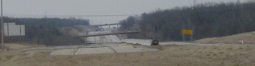
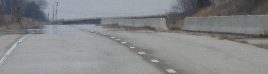
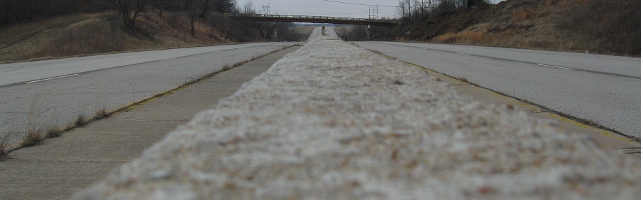
Looking WB (southwest) as I climb down the embankment. There's a creek crossing in the foreground and the pavement ends in the background just as Exit 241 tries to leave. That's an OK 66 circle sign, but you'll soon see a clearer one.
Walking east in the WB lanes. Why is there one small gap in the concrete barrier? It's too small for an official U-turn, but who would have a use for it? How could anyone take it? I didn't go too far because I didn't want to abandon the other meet participants, but you bet I wanted to disappear down past the next overpass for a bit.
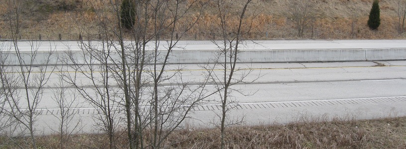
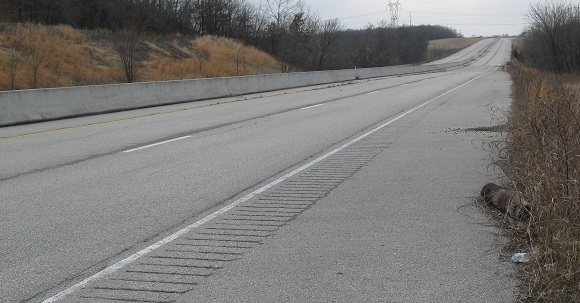
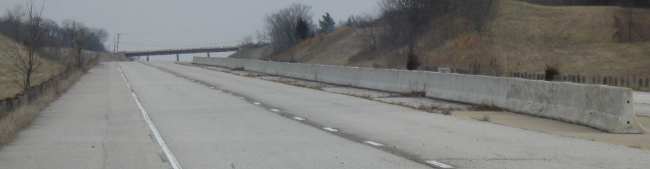
Properly looking east on the EB side.
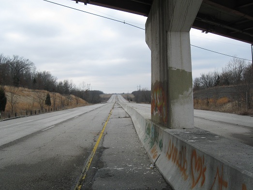
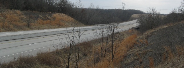
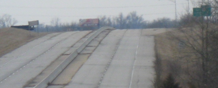
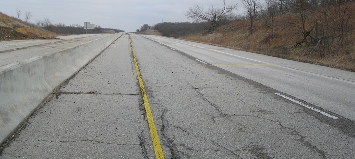
Westbound - what it's like to be a highway. You may recognize this view from the meet photo on the Tulsa Road Meet page - the barrier was an ideal tripod.
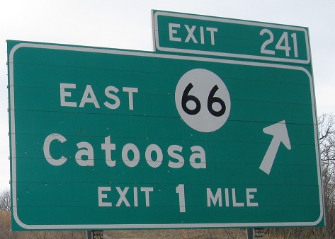
Perhaps the crown jewel of the exploration (other than the "Fart Smock" graffiti) was this intact guide sign, EB before the Pine St. overpass. It's got a few dings but is otherwise perfectly serviceable, if not for the fact that Oklahoma now uses a square shield with a state outline inside. It's also wrong, because the exit arrow should not appear for another 5,279 feet.
To the current I-44 mainline
Back to I-44 main page
The 2/22/10 Tulsa Road Meet
Exit 241 to OK 66
Back to Oklahoma Roads
Back to Roads