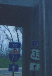
west (northwest) of downtown Columbus; US 33/OH 161
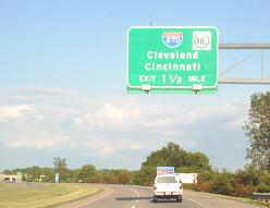
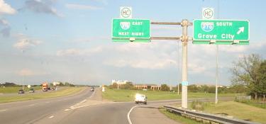
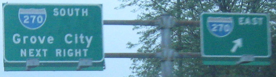
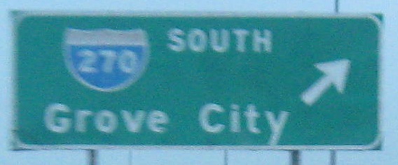
EB entering Columbus at the corner of the I-270 beltway where it (as you can see) changes directions, first two photos courtesy Doug Kerr. The signs in the second photo ought to match.
WB, there.
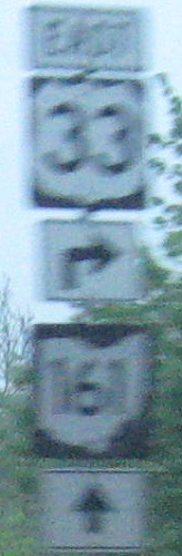
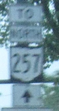
A variety of shields where US 33 and OH 161 EB part ways, at the beginning of OH 257.
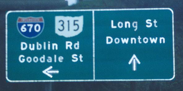
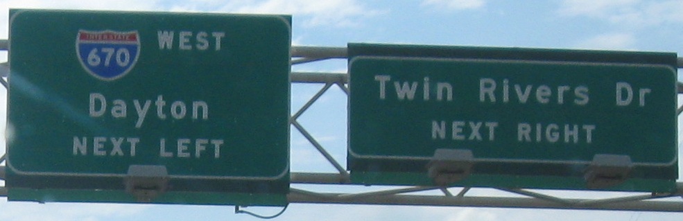
On the long I-670 EB Exit 1 onramp from US 33.
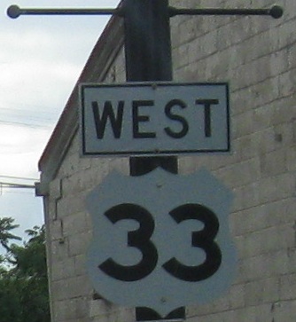
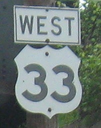
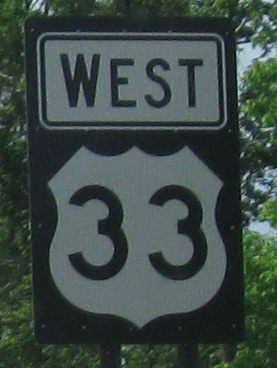
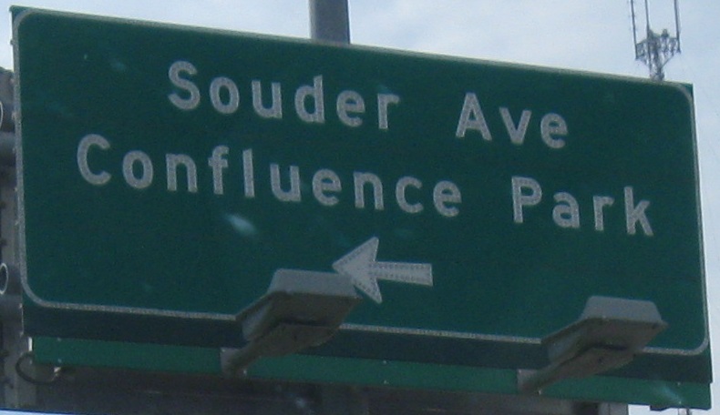
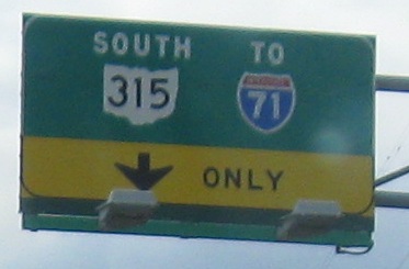
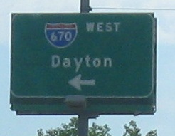
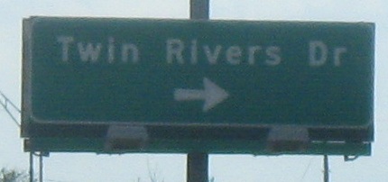
Westbound; the second and third photos are the left and right of the same gantry, and the last two photos are on the left and right sides of US 33 across from each other.
One sunwashed EB photo.
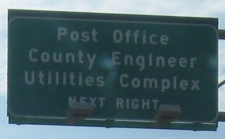
Not only will you not find these signs anymore, you won't even be able to figure out where they are. This photo, courtesy John Krakoff, was on the exit from the post office to the west before the OH 315 interchange was completely reconstructed to remove the direct ramps to/from US 33, remove all the ramps from Twin Rivers Drive, and add connections to I-670 once it was built. It's basically impossible to find a state name shield in Ohio now.
Again from John, this appears to have been the US Post Office facility exit SB at Twin Rivers Drive at the western edge of the former US 33/OH 315 interchange. I-670, at this time, rose out of OH 315 just to the north of this interchange at Goodale St. Dublin Rd. is US 33 to the west, and Long St. is US 33 EB to the east. The only place in this area that would allow a left turn and have Long St. be straight ahead would have been that driveway, where straight led to an interior trumpet that merged into the left side of US 33 EB and left led to more intersections and ramps for the other destinations. Now that US 33 is four undivided lanes, ramps are a lot less confusing.
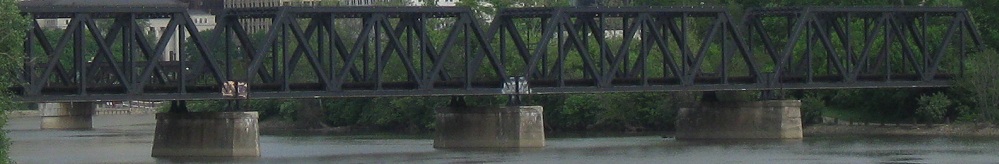
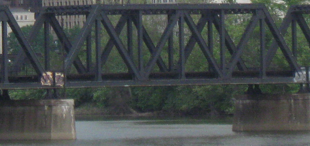
Into Confluence Park, looking east at a railroad bridge crossing the Scioto River just downstream of the Olentangy River.
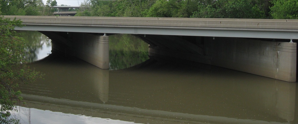
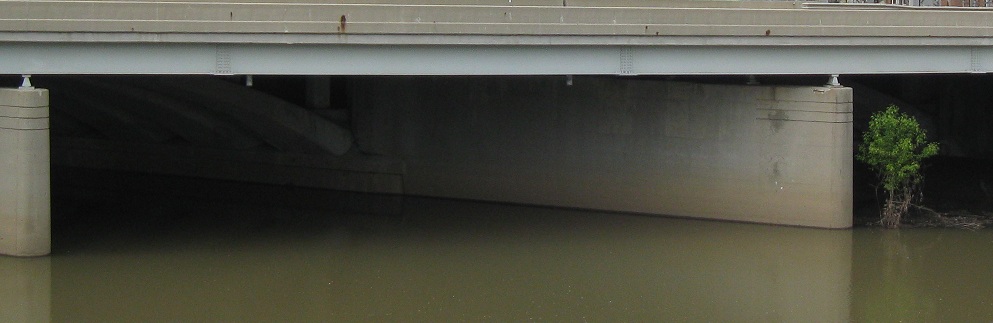
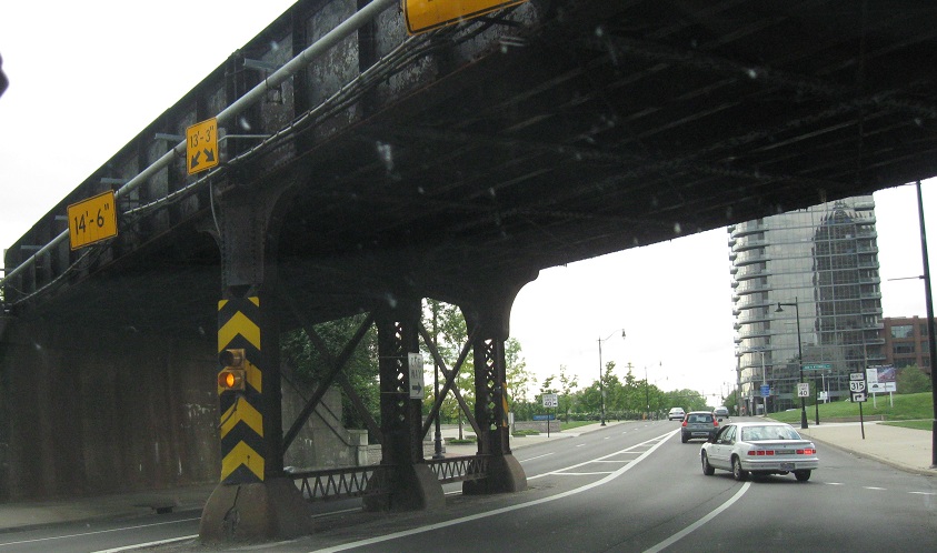
Looking north from there at the Long St. bridge, carrying US 33 EB across the Olentangy, attached to the arches of the Spring St. bridge (US 33 WB) as a conjoined structure.
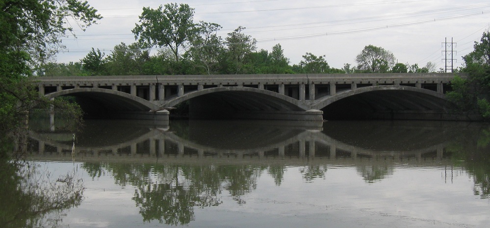
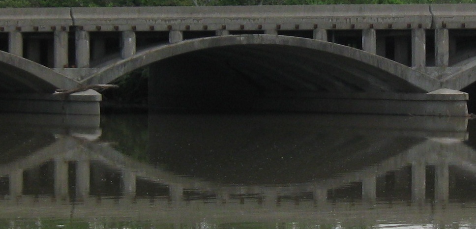
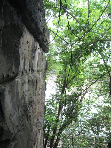
The Spring St. bridge is much easier to see from the north, from the eastern shore where the Dublin Rd. bridge once took US 33 into downtown. What's that, you say? You'd like to see said Dublin Rd. area?
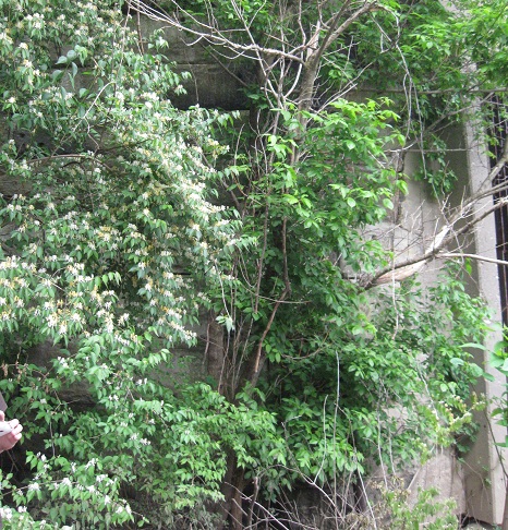
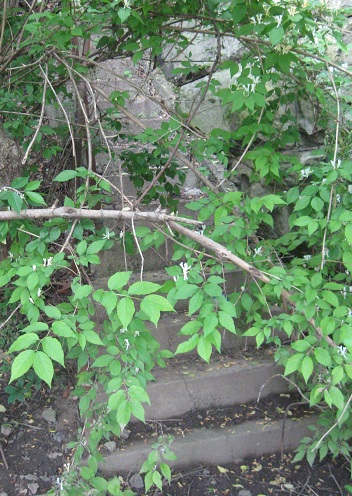
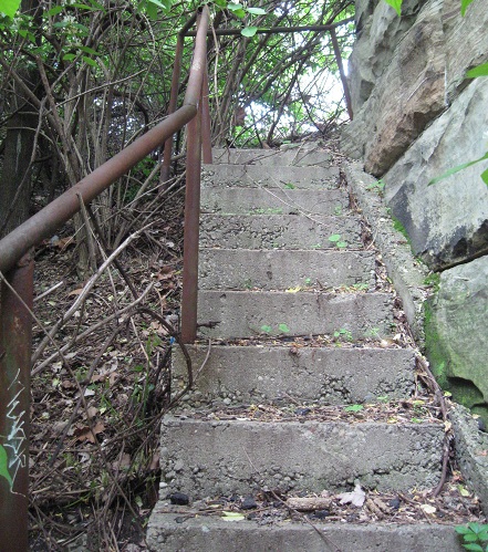
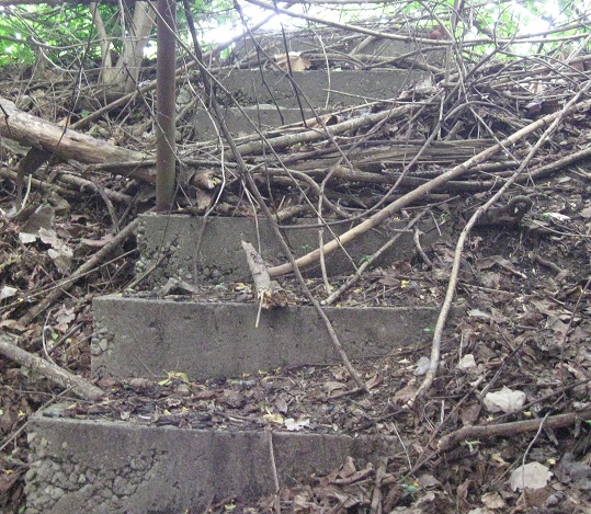
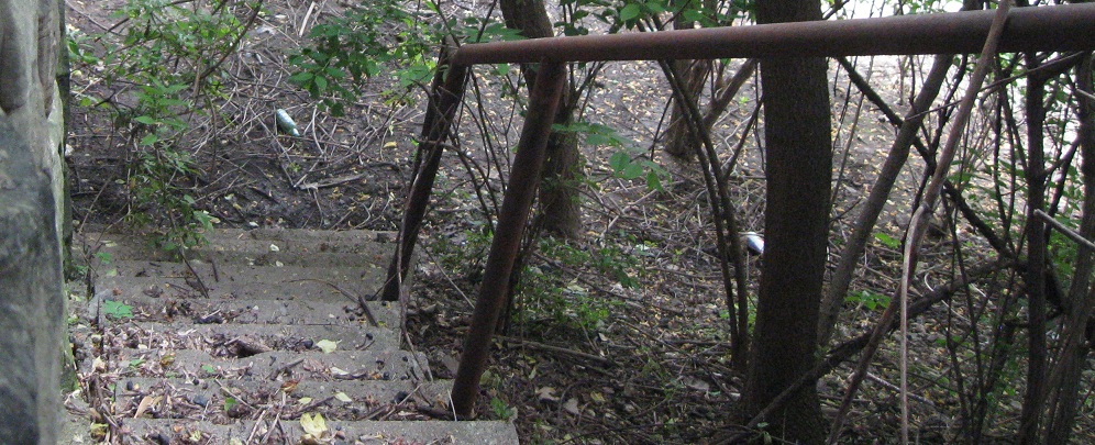
Starting at the base of the eastern abutment, then walking up a set of broken stairs that I imagine were put in for fishing access when the bridge was built. This is about all that's left of the old bridge.
Looking back west from the top of the stairs. The eastern half of Dublin Ave. is now Nationwide Blvd., if you'd like to trace your way here yourself. (The western half? Still US 33.)
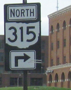
Classy, if non-standard, cutouts heading west on Spring St. The unisign points traffic up Neil Ave. to OH 315 NB, because US 33 no longer has any direct access that way.
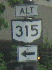
Alt. OH 315 SB followed Marconi Blvd. straight down to the I-70 WB/I-71 SB onramp. I'm not certain where the detour route began; it dates to the reconstruction of the Spring-Sandusky Interchange (OH 315/US 33/I-670) during the 1990s, and this is the only remnant, on US 33 WB.
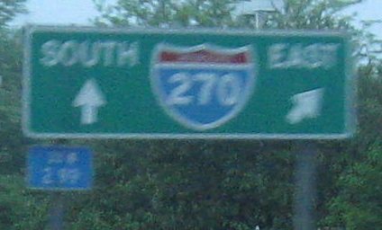
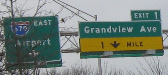 On the long I-670 EB Exit 1 onramp from US 33.
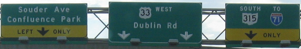
 One sunwashed EB photo.