WB at and past James Rd. courtesy John Krakoff, clearly with a remnant of the NW/SE system. With so many diagonal routes, Ohio appears to have been overwhelmed and failed to consistently sign any of them in one direction or the other.
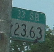
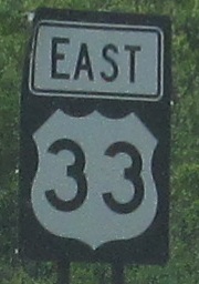
Combination county milepost and utility pole reference marker, and rendered incorrect by largely re-signing US 33 to east-west instead of north-south in recent years. It was much more of a hodgepodge before then.
EB until blatant politicization.
WB in the same area.
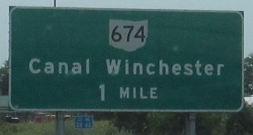
Back EB, down the OH 674 ramp.
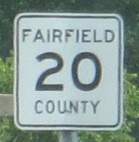
Continuing east. Most Ohio counties use one of three county route shields: standard pentagons, white on green squares, or these. It's common to find the same style in neighboring counties, so it's not completely random.
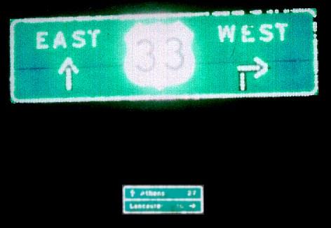
A Michael Summa goodie - but a modern one for a change! He took this OH 664 SB sign outside Logan in 2002. The sign in the background says Athens 27 straight, Lancaster 16 to the right. Typical of Ohio, US 33 was originally a northwest-southeast road, and so when most of the NE-SW roads became plain N-S, US 33 became plain E-W. Never mind that this scheme has made every diagonal US route have the wrong designations (all the even numbers are N-S).
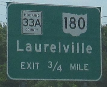
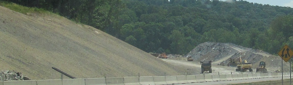
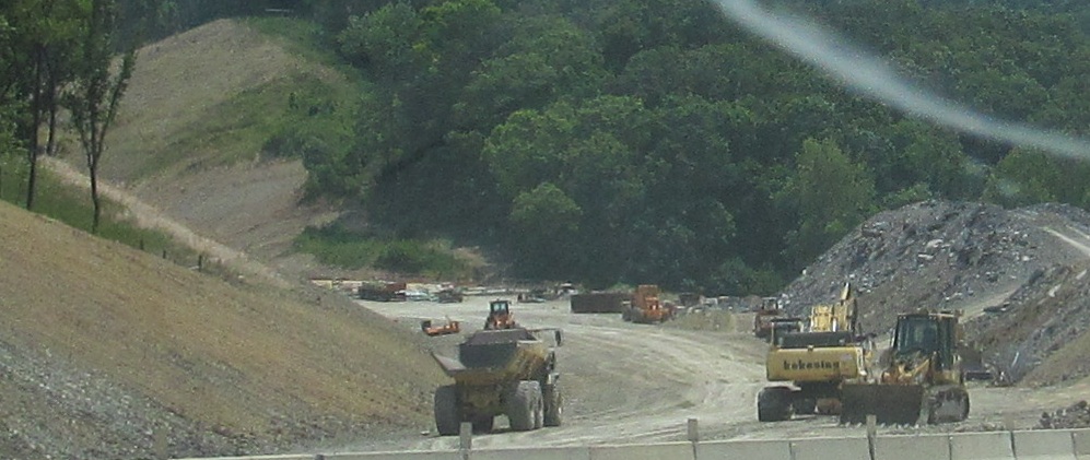
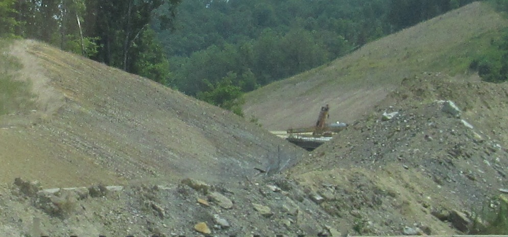
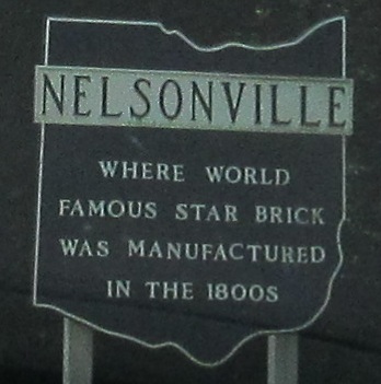
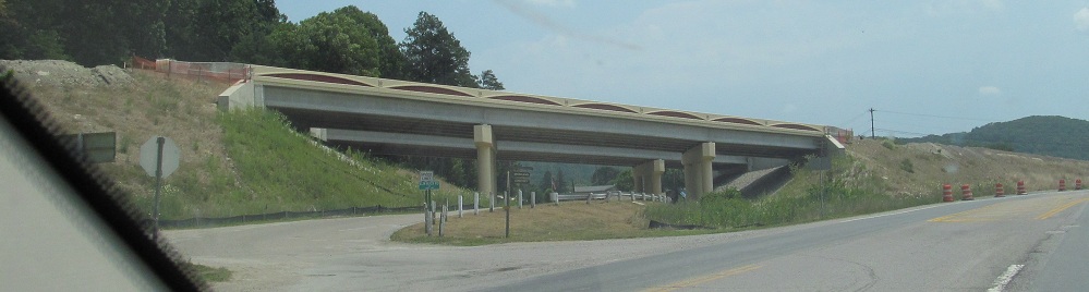
The Nelsonville bypass leaves northwest of the city, the last four-lane expressway link where US 33 is still two lanes - and a notorious speed trap.
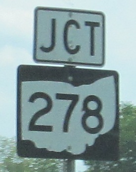
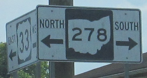
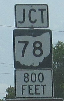
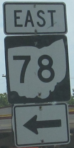
So slow down and take your 40-mph time photographing the old and unusual signs in town. The Ohio shields all mung the state shape badly, but the second OH 278 assembly almost ends up being cute in spite of itself thanks to shoving Series E digits inside a 2-digit width shield. It's ruined by the tack-on directions, though. It's as if because ODOT knew the bypass is coming, they put no effort into checking the quality of what went up on the current road. The meeting of OH 278 and OH 78 in town is just a coincidence.
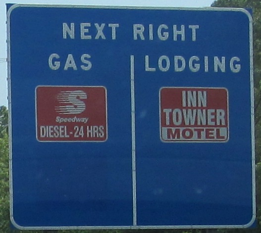
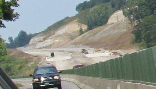
Over there! Behind the houses! It's a bird! It's... a bird? Huh? It's just a freeway bypass.
Looking up Elm Rock Rd., the southeasternmost overpass on the new freeway.
EB where the freeway merges back in and becomes an expressway again. (There are only exits around Nelsonville, but grade crossings to the south.)
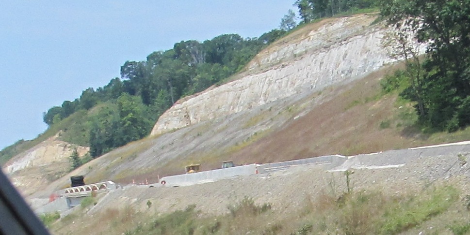
WB with the new freeway disappearing into the hills.
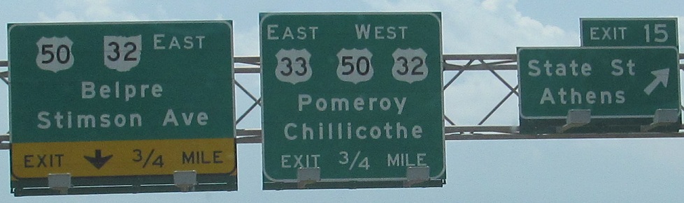
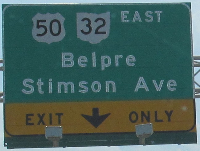
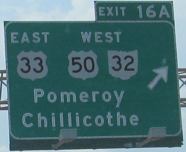
Whence these exit numbers, only in Athens, only for these two exits? Why does US 33 have an exit number for itself? The zero point is the Athens County line, but exit numbers are supposed to follow the state mileage, lest a route constantly have the same exit numbers every few miles. The last two photos are on the left and right of the same gantry.
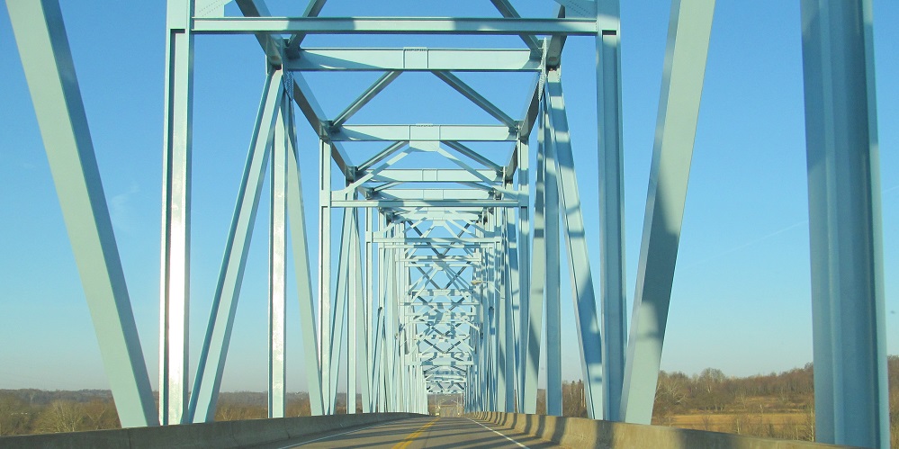
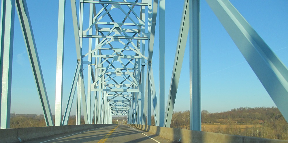
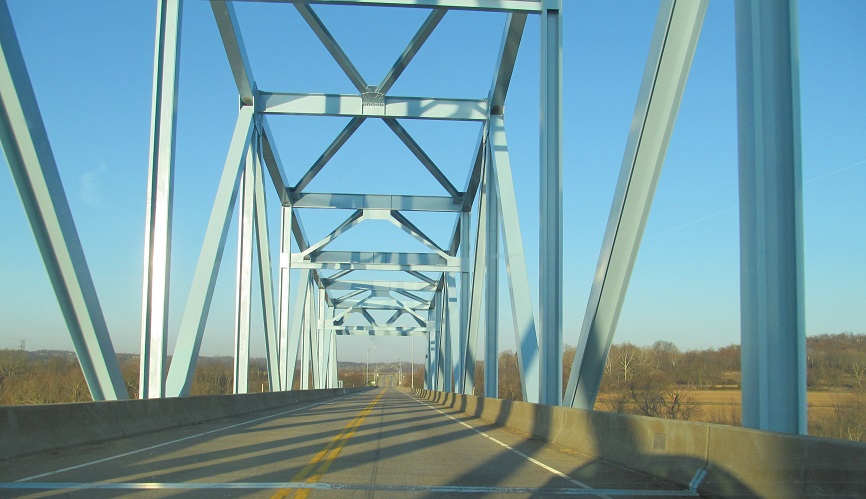
Heading northwest from WV to OH on the 1981 Ravenswood Bridge, starting midspan at the state line.
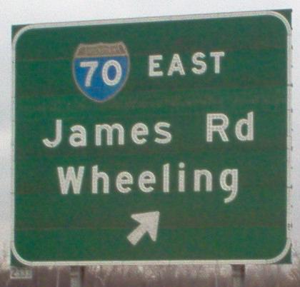
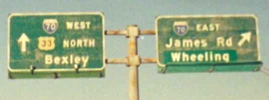
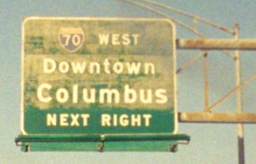
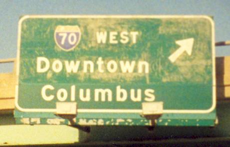
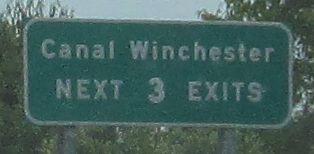
 east (southeast) of downtown Columbus
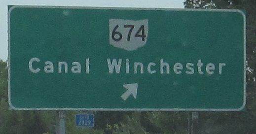