Ohio Roads - OH 7 NB - N. of Steubenville/OH 39 EB
OH 7 NB north of Steubenville
and OH 7 NB/OH 39 EB
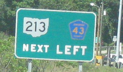
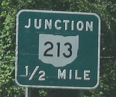
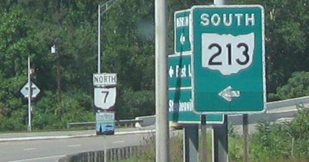
A signalized intersection immediately after leaving the US 22 duplex leads to the beginning of OH 213.
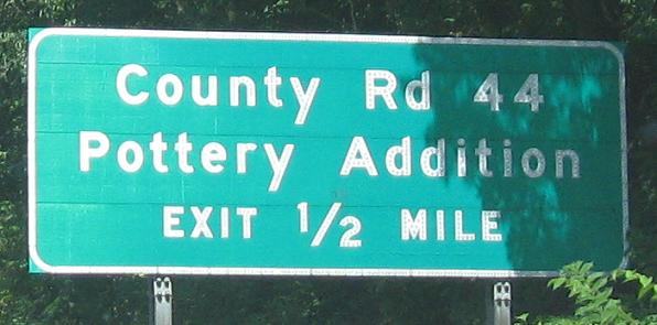
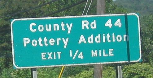
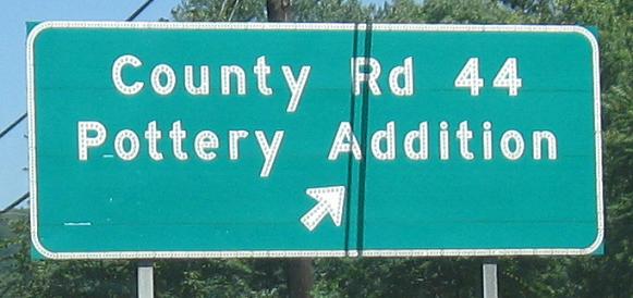
Button copy heading away from Steubenville. Pottery Addition is an actual village in Steubenville, so named because a pottery factory moved its plant out of the center of town.
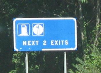
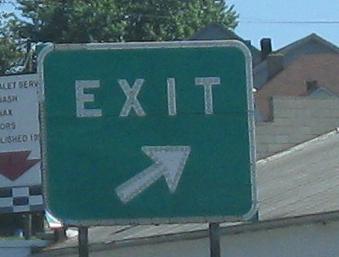
The next exit and down the ramp.
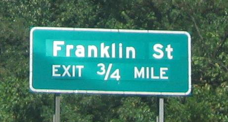
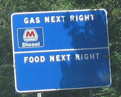
I'm only making it one exit at a time before I have to caption. It looks like a button copy sign blank was pulled out of the shop after button copy went out of fashion. Or maybe someone stole all of the original letters off of the sign. What's up here? At least there's button copy on the exit ramp.
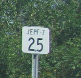
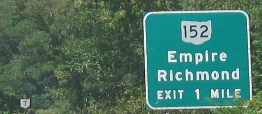
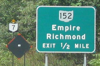
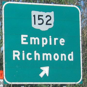
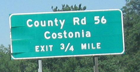
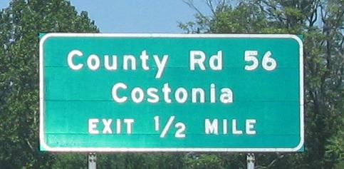
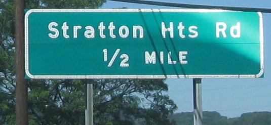
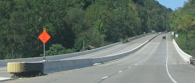
Starting with a county-based Ohio milemarker (you don't really see the overall mileage anywhere off the Interstates) and coming up to an occasional detour. The upcoming plant in Stratton has roadway construction going on that must occasionally necessitate detouring traffic via OH 152 to OH 213. The last photo is the sign on OH 152 EB.
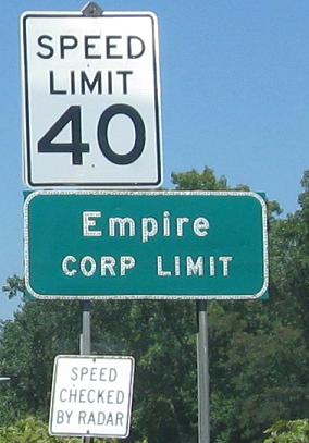
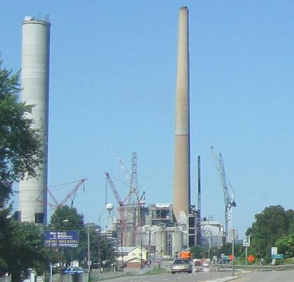
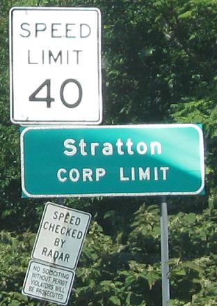
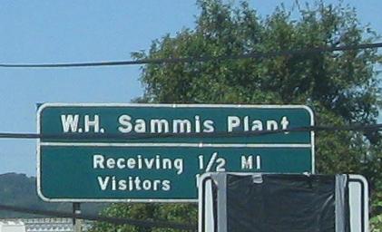
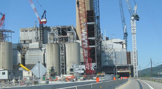
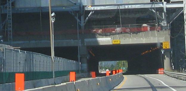
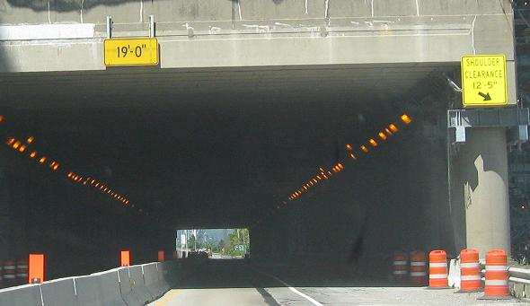
Through the at-grade intersections in Empire and Stratton to the plant in question. The old SB side of OH 7 is cut off, perhaps permanently and perhaps not, while both sides squeeze into the NB tunnel underneath the plant. The clearance signs in the last photo are interesting, because you can see that whatever was impeding the shoulder has mostly been removed. Perhaps that's the reason for the construction, though it looked like OH 7 SB was being used as a staging area for plant construction or tunnel reconstruction.
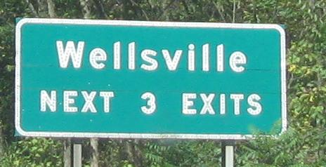
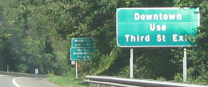
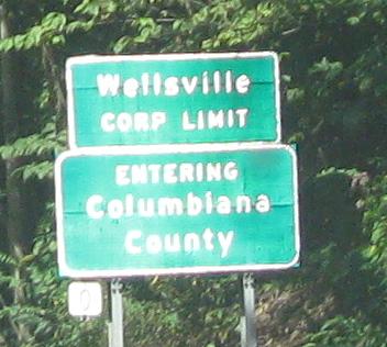
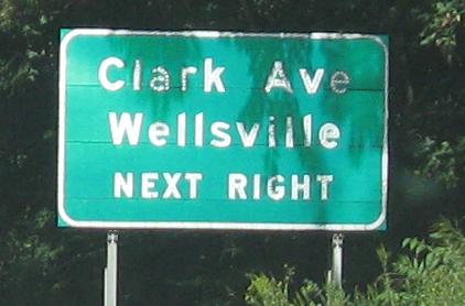
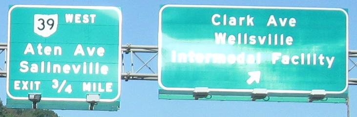
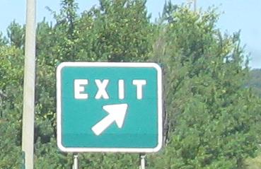
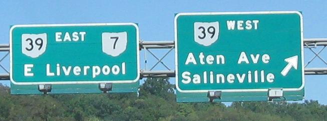
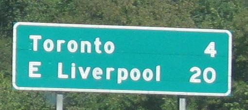
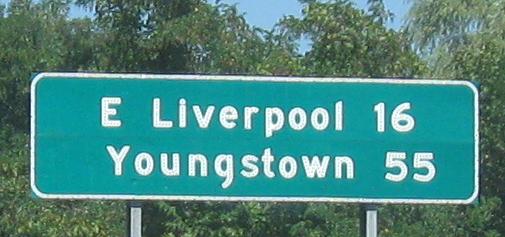
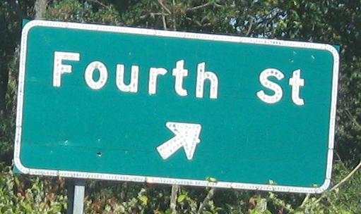
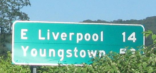
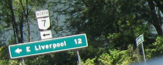
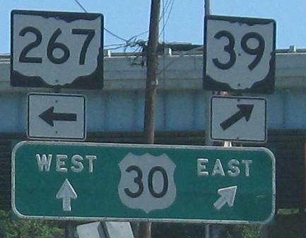
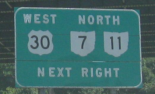
A big set of signage all the way up to the OH 39 ramp in East Liverpool.
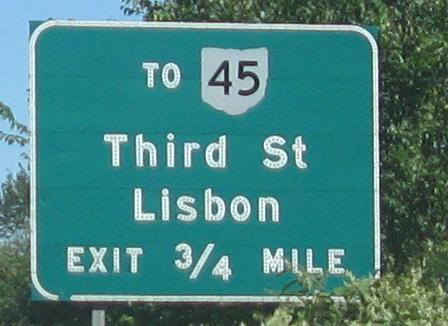
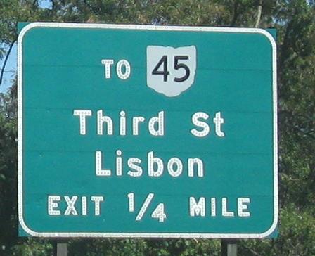
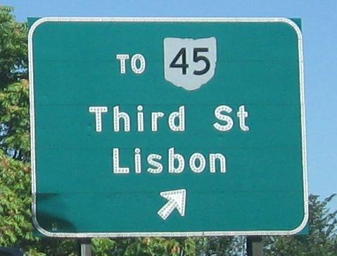
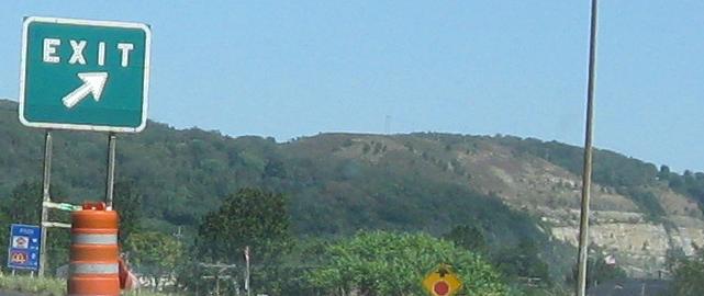
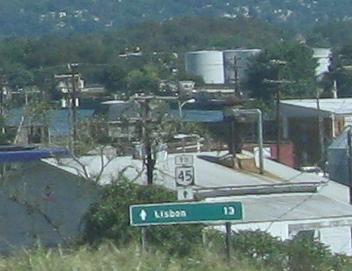
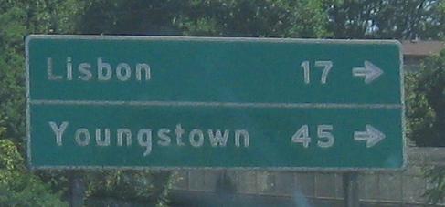
Next pausing on the OH 45 ramp.
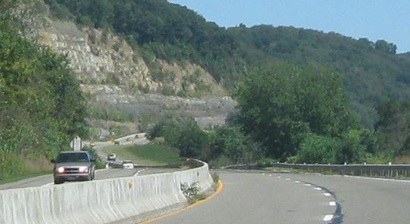
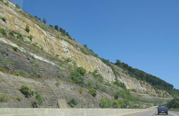
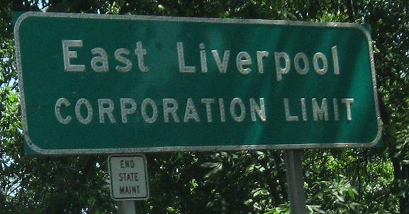
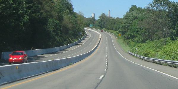
The freeway is scenically cut into the cliffs as it winds northward to East Liverpool and stops at US 30. If state maintenance ends at the corporation limit, I guess East Liverpool itself maintains the rest of the roadway - but why? Perhaps at that point it's only considered 8th St., even though it still carries OH 7 and 39.
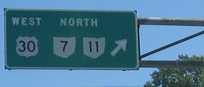
Underneath US 30 and, after ditching OH 39, OH 7 enjoys its 200 feet of freedom and joins the triplex. OH 11 is applied to the US 30 freeway from the Ohio River north, even though its first breath of air away from US 30 isn't for another 5 miles in West Point. That means the signs for US 30 EB should technically also have shown OH 11 SB, but I guess ODOT figures there's no reason to bother.
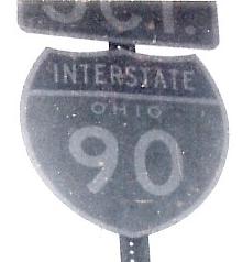
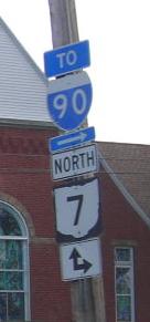
Well to the north, the first photo is courtesy Michael Summa and was taken in 1970, at a time when there was not yet color Polaroid film for his camera. Apparently back then JCT plates got their abbreviation period. The colors just leap off the shield! The next photo is courtesy Doug Kerr, NB at US 20 in Conneaut. The I-90 part of the assembly looks town-made. OH 7 technically jogs east on US 20, but continuing straight and making a later right will also take you back to OH 7, so maybe the double arrow is indicating an alternate route. I didn't see the double arrow when I went there in 2009.
Onto OH 11/US 30 and OH 7/11/US 30
South to US 22 WB and 22 WB/OH 7 NB
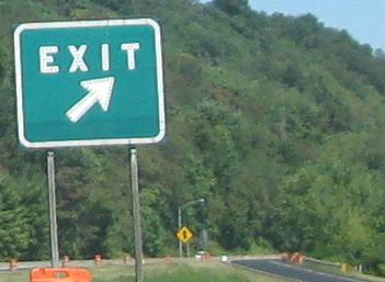
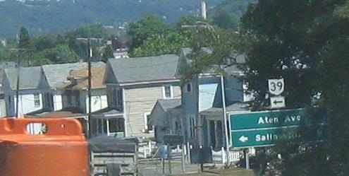
Onto OH 39 alone
Over to OH 7 SB (with OH 39 WB)
Back south on OH 7 NB
General OH 7 photos
Back to OH 7 main page
Onto OH 45
Onto US 30 alone
Onto OH 11 alone
To I-90
Back to Ohio Roads
Back to Roads