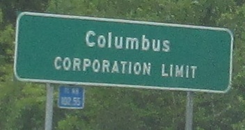
Ohio Roads - I-71 NB - N. of Cincinnati-Columbus
I-71 NB, north of Cincinnati to Columbus
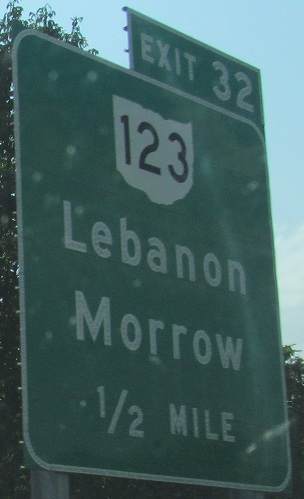
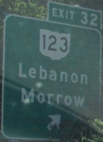
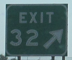
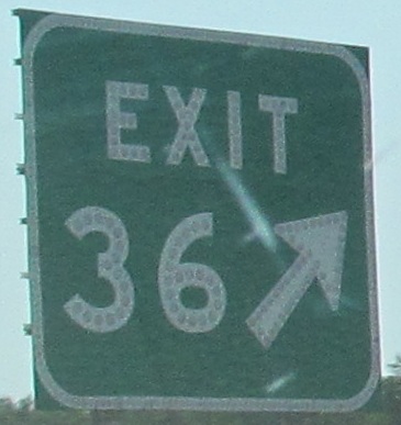
The last photo is on the Exit 32 ramp.
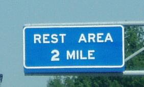
 See the main I-71 page for really cool photos from this rest area.
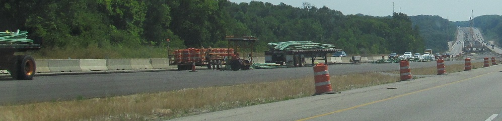
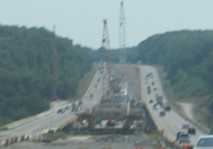
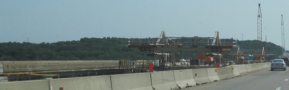
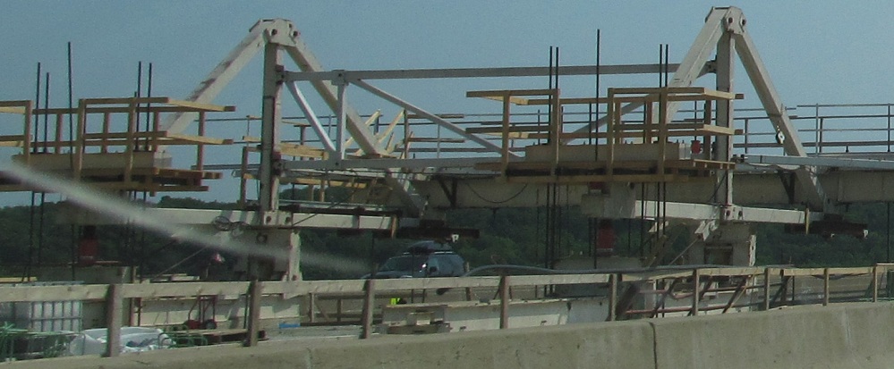
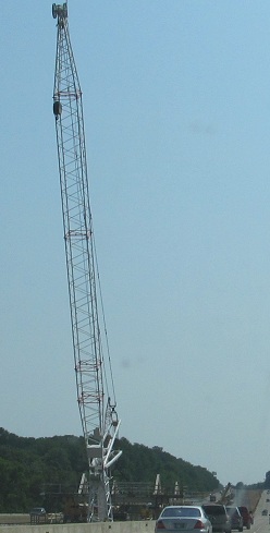
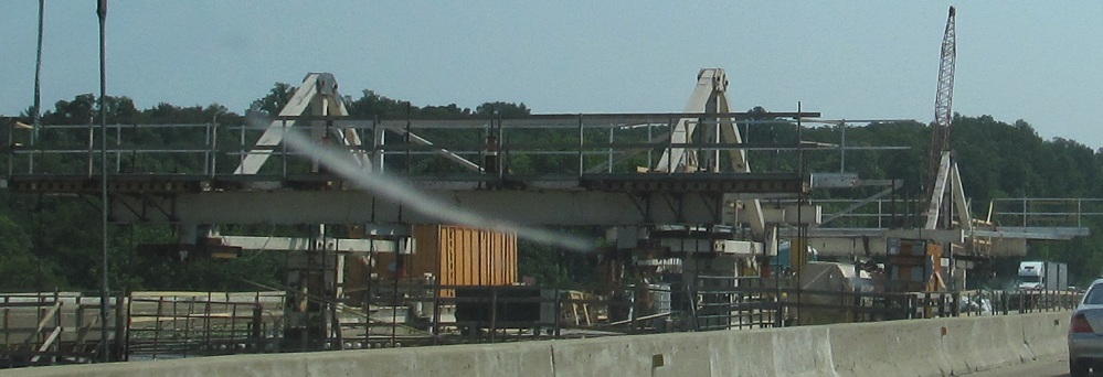
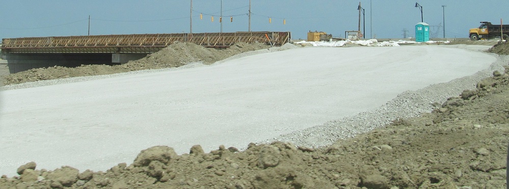
Temporary span construction; both directions will use the bridge in the middle while the ones on the outsides are redone.
Something tells me that wasn't the original changeable sign element.
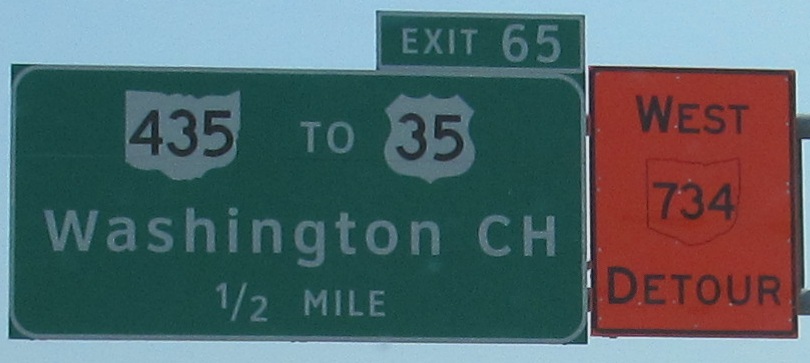
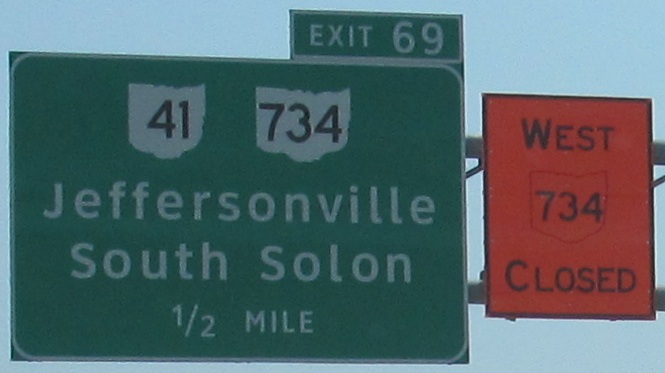
I'm a sucker for orange route shields, which are just so very wrong. The larger first letter is also wrong in "Closed," as it's reserved for directions only. Compare the shield shape of the 2-digit width orange shield to the 3-digit width BGS shield, and see the ways that Ohio can be distorted. (Both are wrong when it comes to the Ohio River by the "4," which almost seems to have been intentionally distorted to fit the digit.)
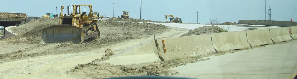
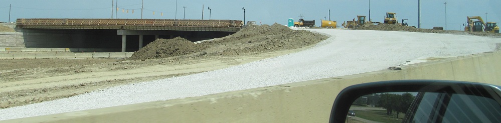
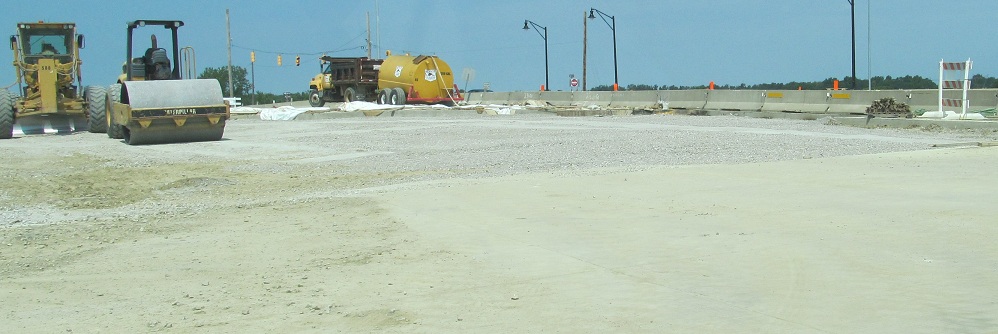
The last several photos travel down the Exit 97 ramp to OH 665, looking at construction of a new SPUI. The overpass is complete, but a lot of ramp approach work remains before the intersection can function with a single point instead of two diamond-ramp halves.
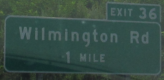
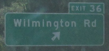
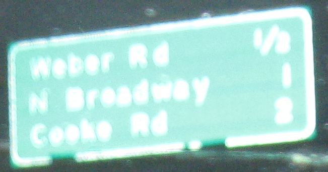
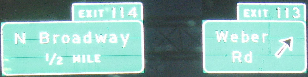
The first photo, just north of I-270 in Columbus, is courtesy Bill Donovan and has a button copy "2" but otherwise reflective lettering. I wonder if OHDOT borrowed an EXIT 1 MILE sign? They forgot the button copy S at the end.
ODOT got sneaky in the second photo and tried to replace a missing "0" on the right I-70 shield. The problem is, they didn't match up the size to the "7". I'm assuming they ran out of button copy, because if not, that makes this "effort" even more pathetic.
The first photo is courtesy John Krakoff.
Continue north on I-71 NB
Back south on I-71 NB
Switch sides to I-71 SB south of Columbus
I-70 EB and I-71 NB/I-70 EB
Back to I-71 main page
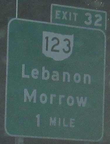
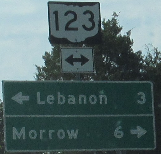
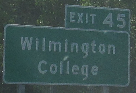
Exit 32 to OH 123
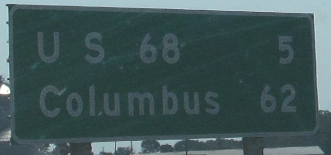
To US 68
Exit 65 to US 35
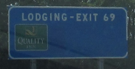
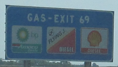
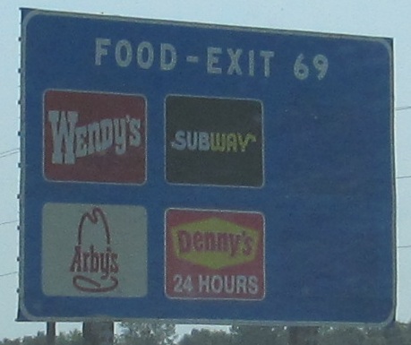
Exit 69 to OH 41
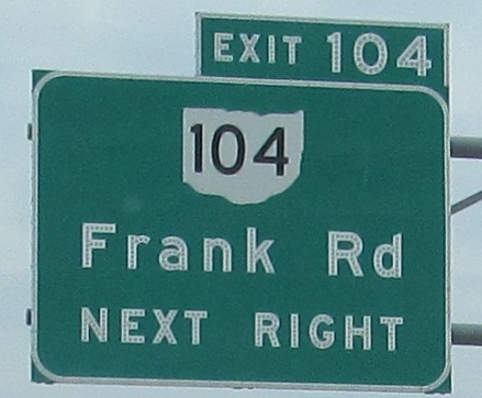
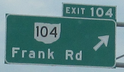
Exit 104 to OH 104
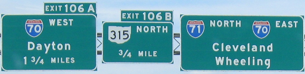
Exit 106A to I-70
Exit 106B to OH 315
Onto I-670
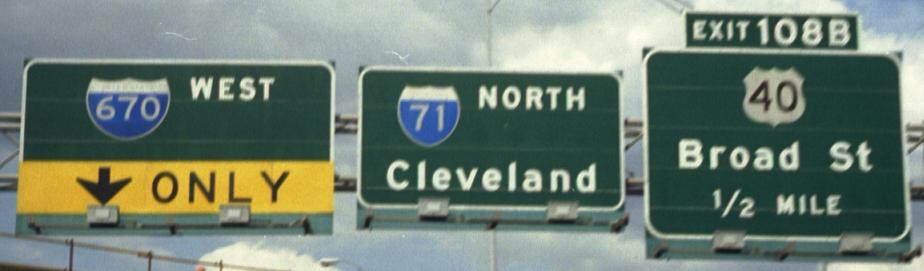
Exit 108B to US 40
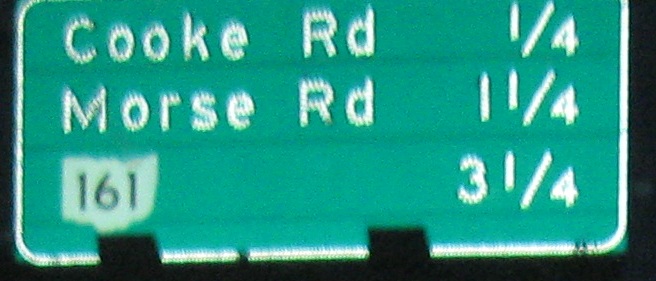
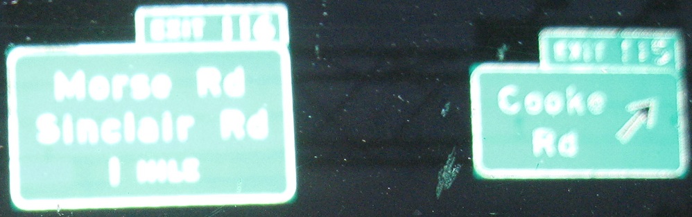
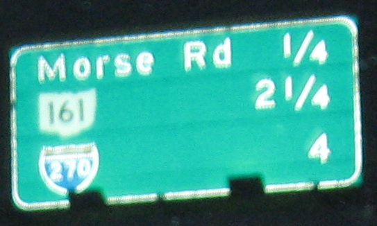
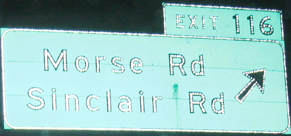
To OH 161
To I-270
Back to Ohio Roads
Back to Roads