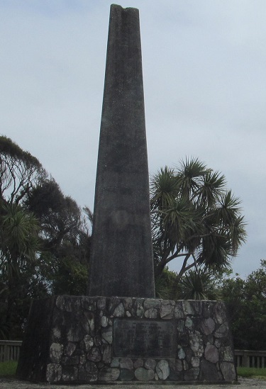
The obelisk at Knights Point commemorates the completion of the highway over Haast Pass and its official opening on November 6, 1965.
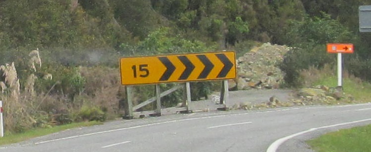
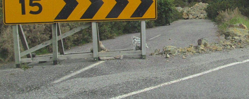
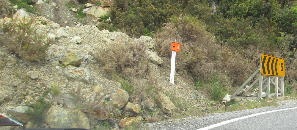
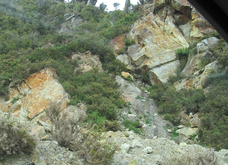
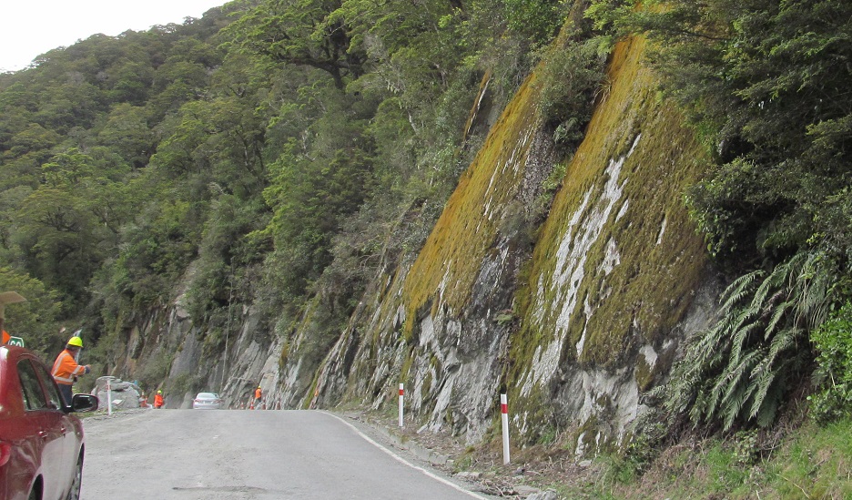
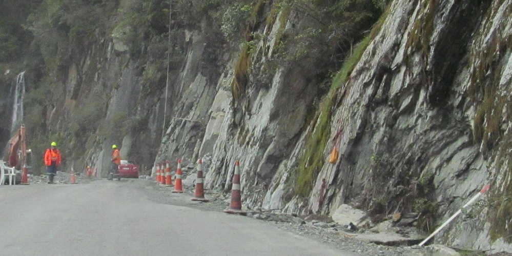
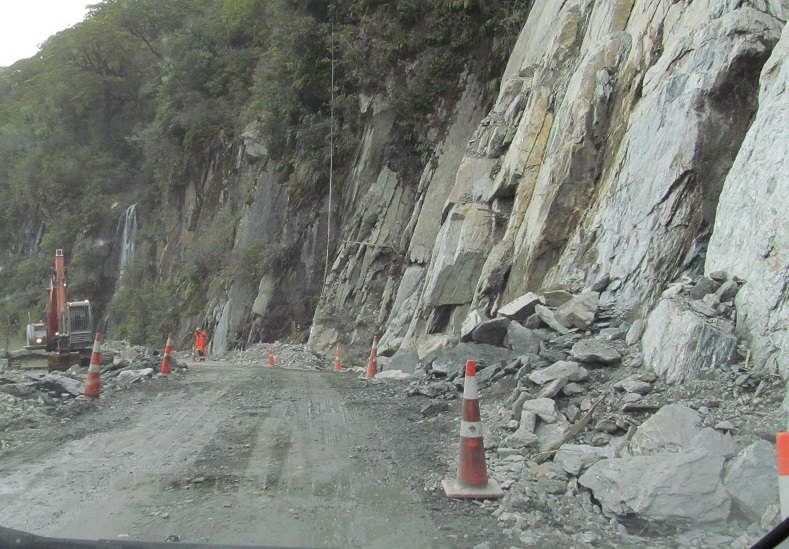
This rockslide underscores the difficulty, and due praise, of engineering a road through the foothills of the Southern Alps. The square denotes a temporary detour route, but despite the curve signs being erected on wooden frames, I don't think there's anything temporary about this.
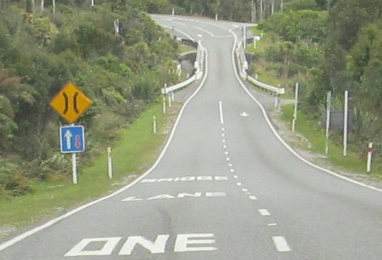
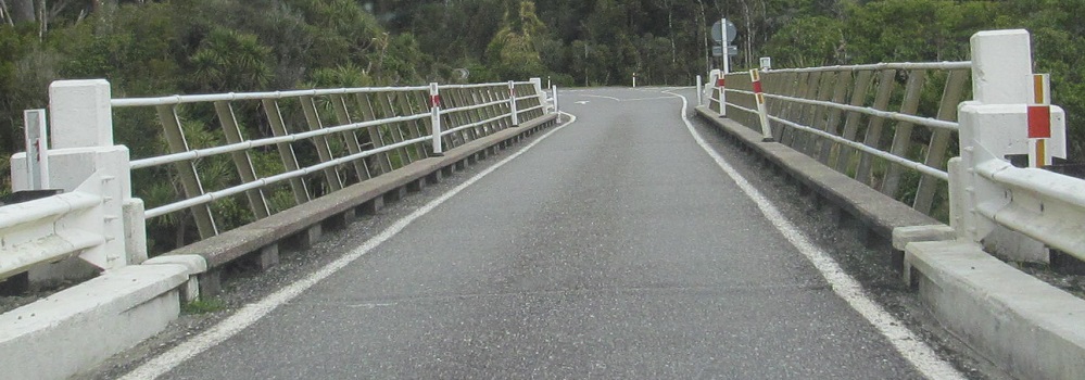
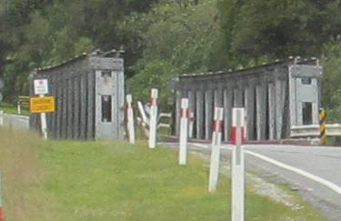
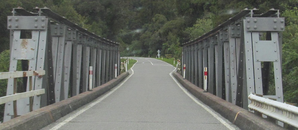
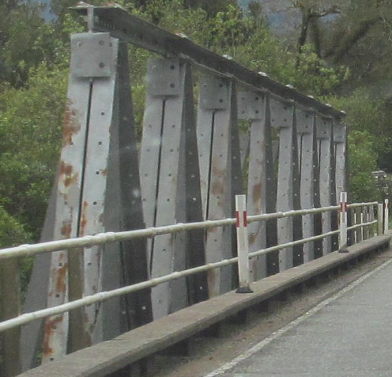
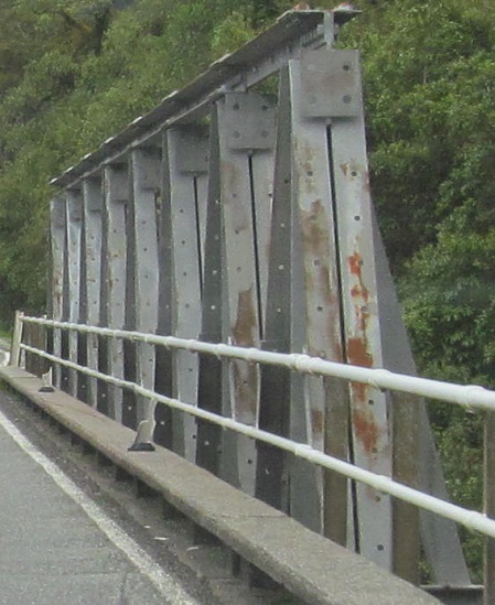
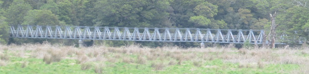
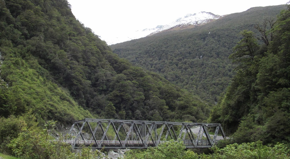
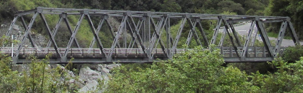
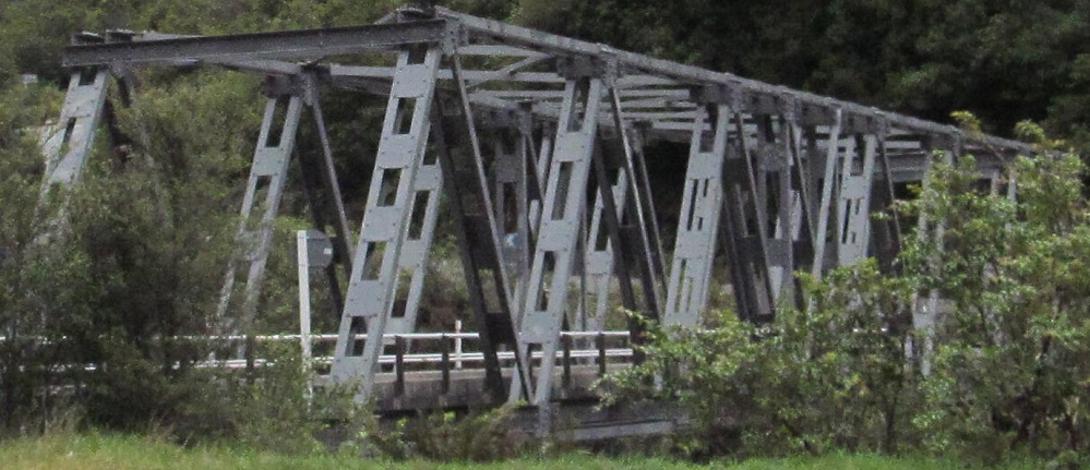
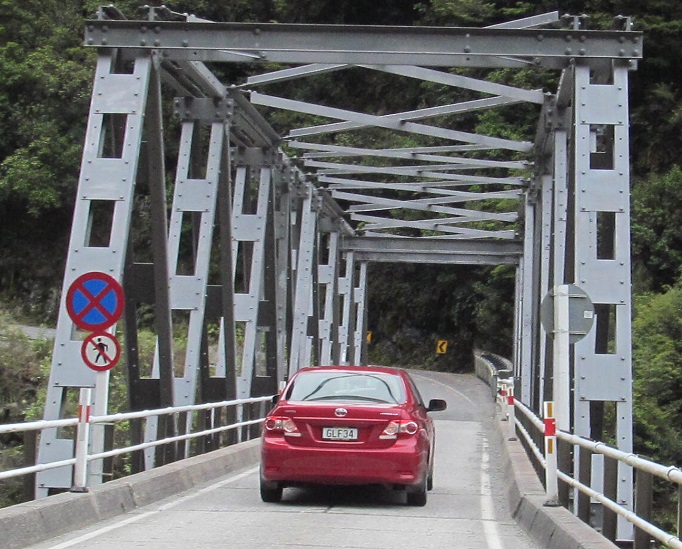
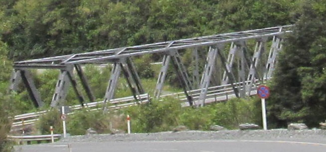
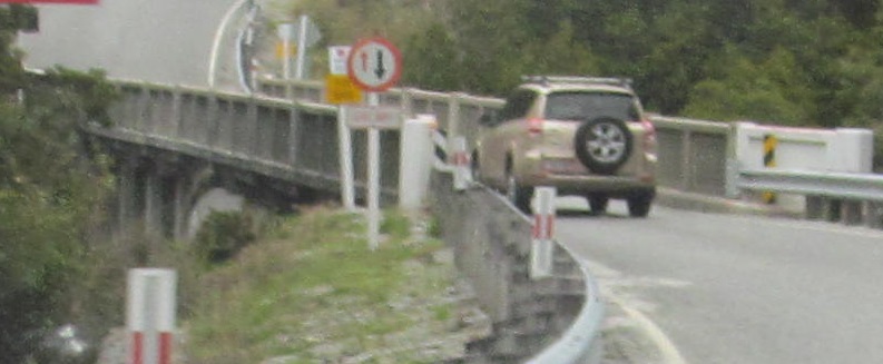
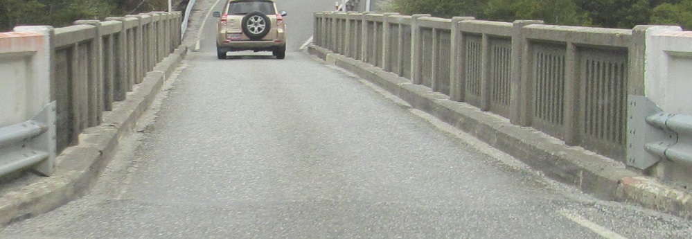
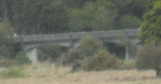
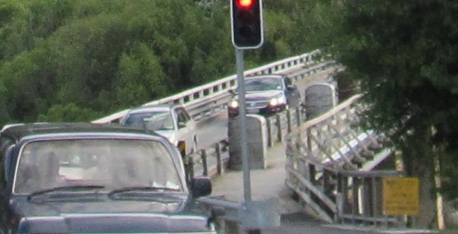
Across Ship Creek to the much longer Haast River bridge. Traffic manages to make a one-lane bridge work by dint of two passing bays where one direction can pull in to wait for the other direction to clear the next section. A combination of low volumes, original bridge construction as one lane, and the cost of upgrading to two lanes despite the low volumes, have kept this historic bridge in service as you can see by clicking on the video.
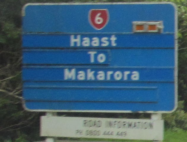
It's nice that the blue sign finally says something, even though that doesn't really tell me anything. The last line of "open" or "closed" would have been most helpful.
Greenstone Creek (2 photos), Harris Creek, Cron Creek (left and right), Cache Creek (2 photos).
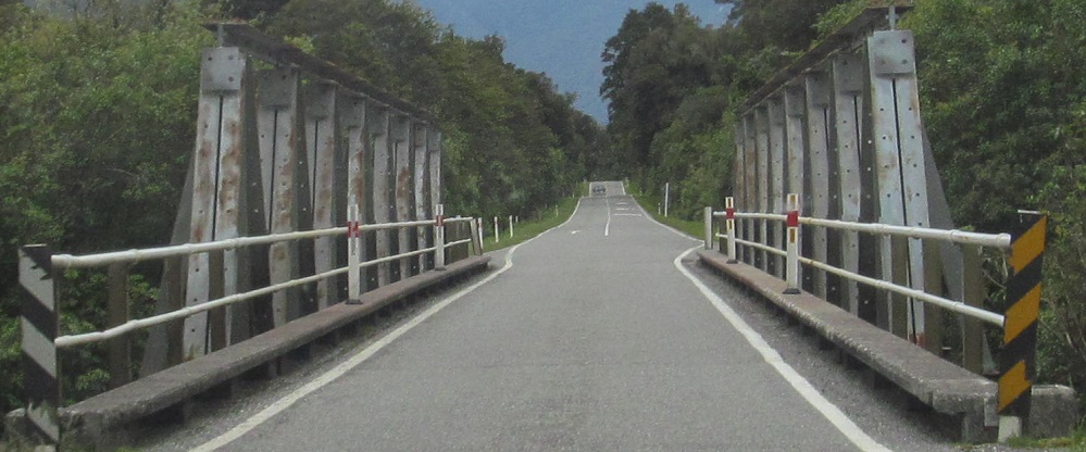
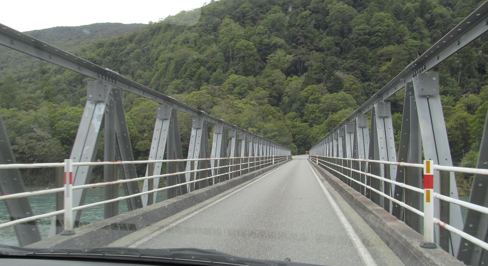
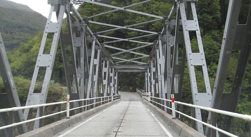
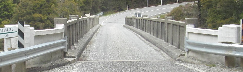
Recrossing the Haast River at Pleasant Flat.
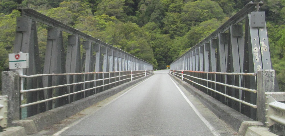
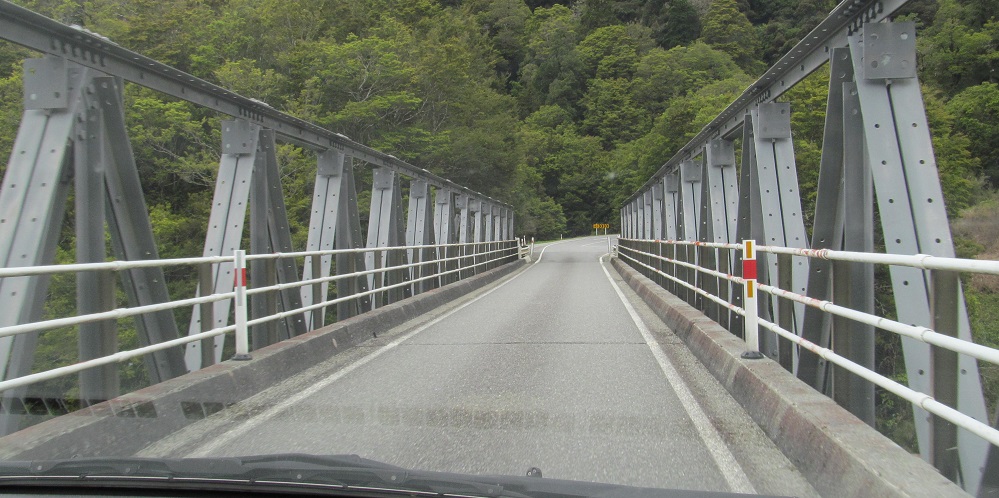
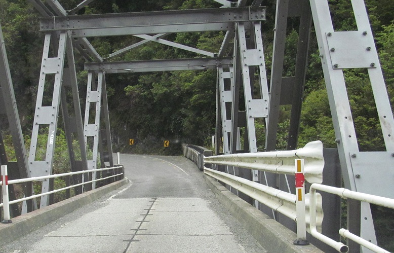
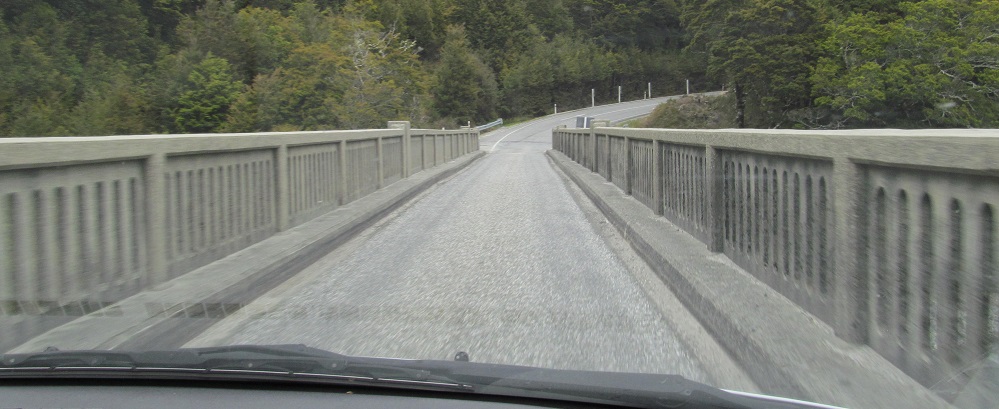
Across the Haast River yet again at Gates of Haast, which basically means Haast Pass is up next. The last photo looks back north, so I lied atop this page.
I finally make it to the Haast Pass, only to be stopped for 15 minutes while construction goes on. Eventually enough cars have lined up to be led through single-file. Unfortunately, that means I couldn't get photos of the several skinny waterfalls at the top. This is the gateway to breathtaking scenery, which you can see on the Non-Roads page linked at bottom.
Two photos at Fish River, three at Makarora River.
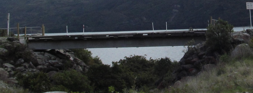
The first pulloff at beautiful Lake Wanaka appears to be an old alignment of NZ 6. There is no passage over this former bridge.
The Clutha or Mata-Au River. Somewhere there's a cutoff for which rivers get renamed from English back to Ma̅ori and which stay English. It's also possible the cutoff is at 100%.
Breaking my rule a second time, this photo isn't southbound, but eastbound on NZ 84.
Speed limit guide signs on the backs of town entrance signs are common. However, only the ones leaving Wanaka are grey instead of green.
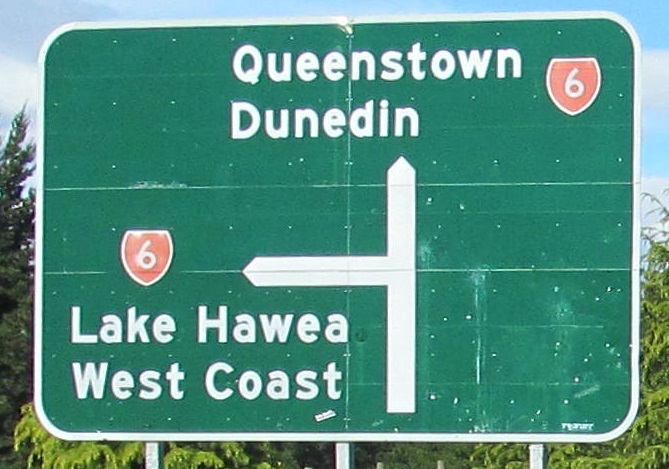
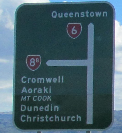
I'm not sure there's anything wrong with this sign. However, the suffix on NZ 20A is below the numeral instead of superscript, which is suspect. I also haven't seen italicized destinations on any other signs. I think Mt. Cook should be in a brown square instead, and I also think there are too many destinations on that sign.
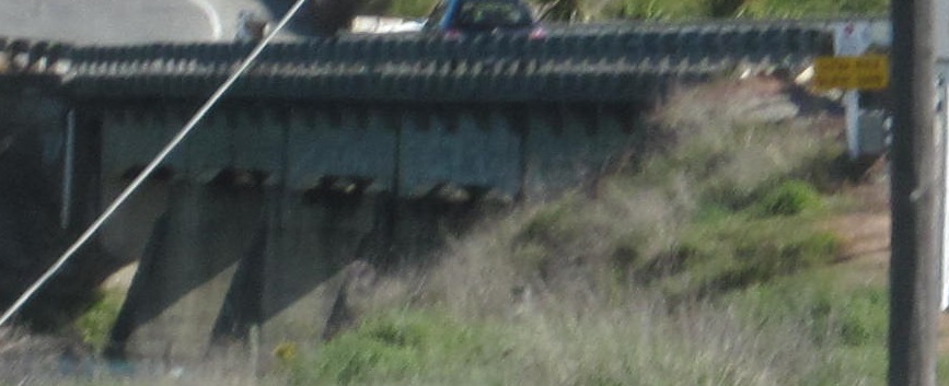
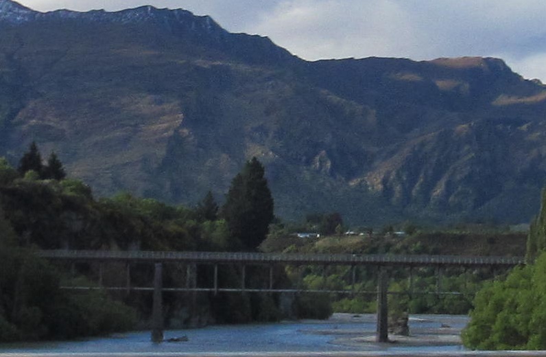
I didn't realize the importance of this bridge when I passed it, so I only got part of it. This is the 1880 Kawarau Bridge, notable for being the site of the first commercial bungee (or bungy) jump operation, or in the roads world, for being an old bridge.
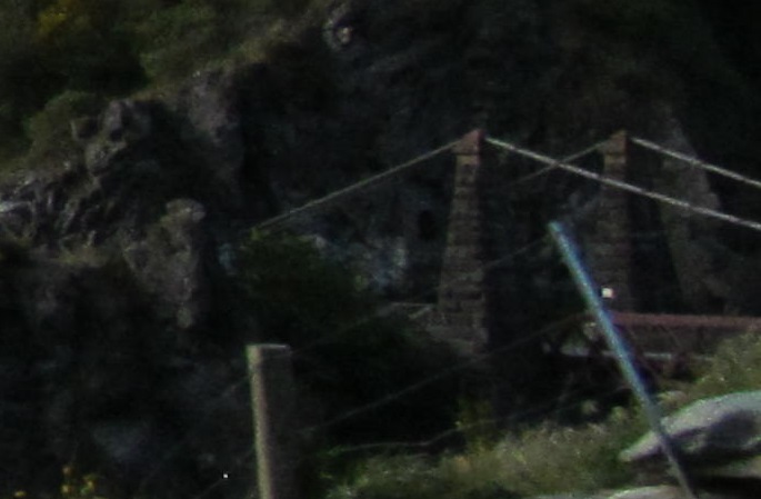
The first old (railroad) bridge is looking northeast on the Shotover River. There's a name that's still English. You wouldn't know the second bridge at the Kawarau River is old except that I just told you. It has since been replaced by a modern 2-lane bridge.
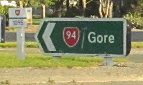
The old font abounds in Lumsden. NZ 94 EB has a silent concurrency here with NZ 6 SB; New Zealand tends to not recognize concurrencies, so the main through road (6) is the only official one and 94 exists in two pieces.