New Zealand Roads - NZ 6 - Greymouth-Ross
NZ 6, Greymouth to Ross
All photos were taken southbound.
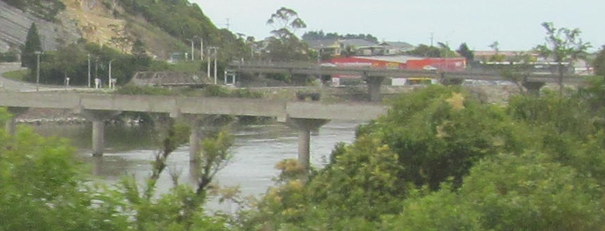
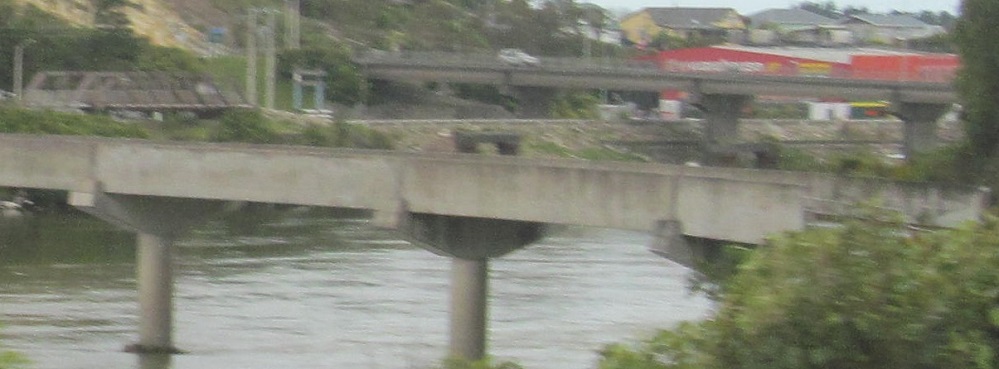
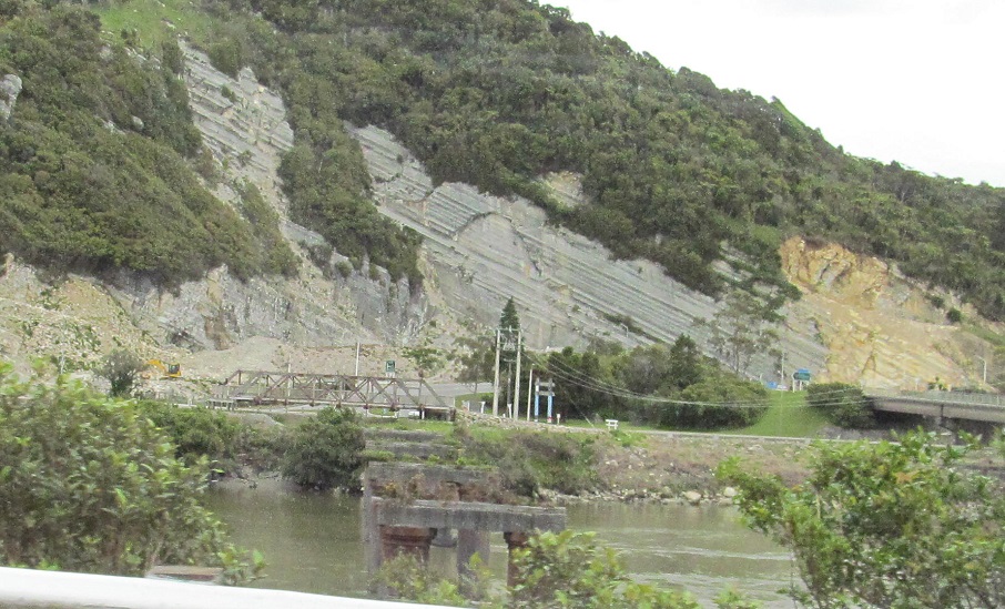
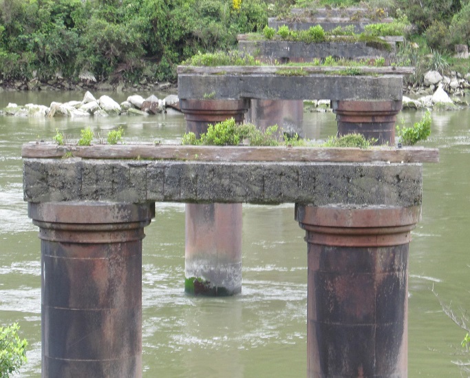
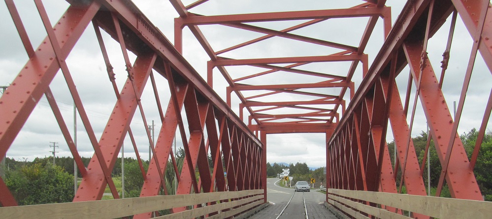
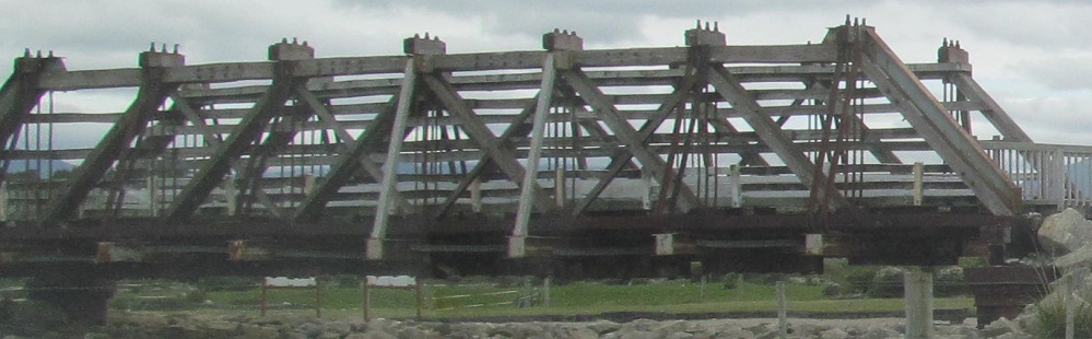
A tangle of bridges greets me as I approach Greymouth, but I'm mainly interested in the former ones. The truss parked on the south bank of the Grey River is the old railroad bridge, and the piers are from the old highway bridge. For some reason, all of the railroad piers were removed but not the highway ones - maybe because they were more closely spaced. On the other hand, none of the old road bridge trusses were saved. The new road bridge is higher and required a fancy rock cut to loop back to grade, so there must have been a flooding or navigation issue.
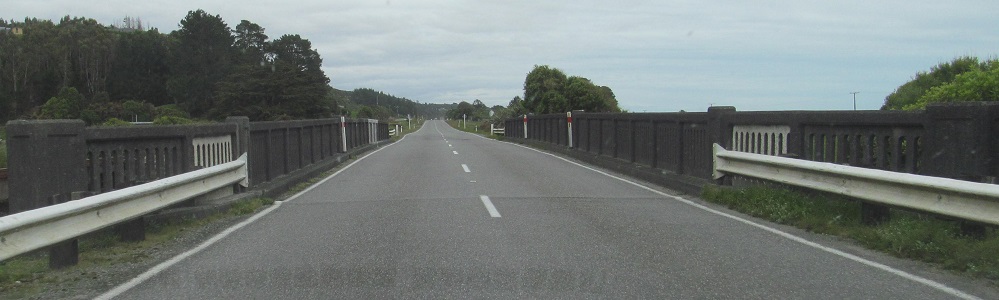
Old pokes through new, viewed from the current Cobden Bridge (NZ 6).
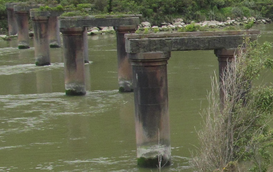
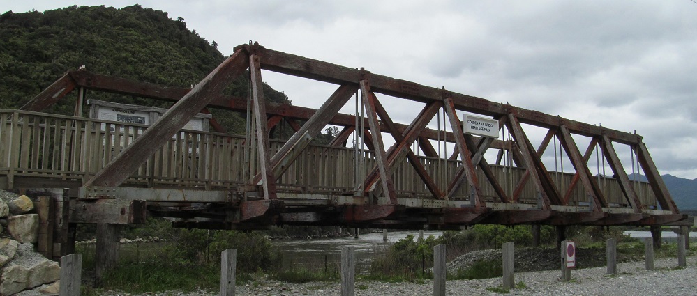
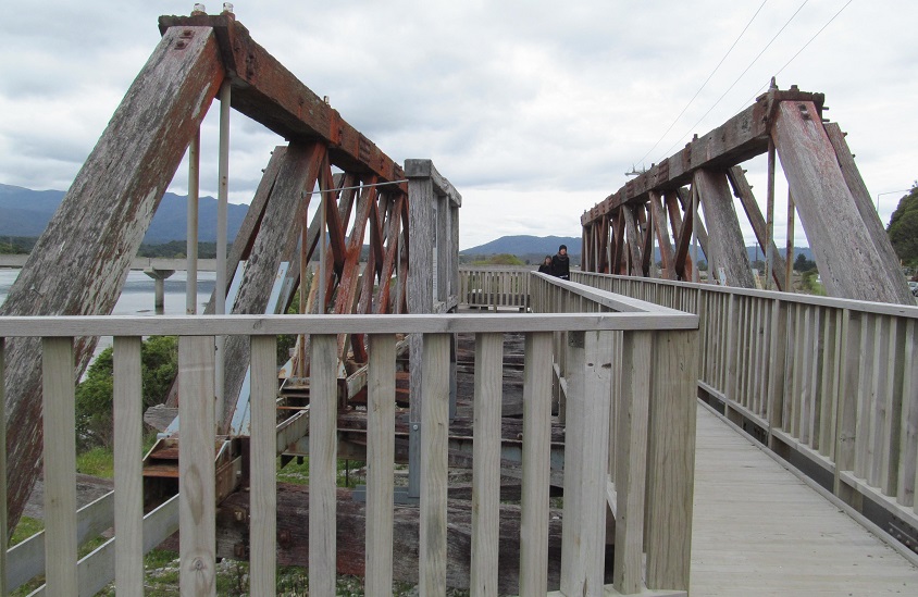
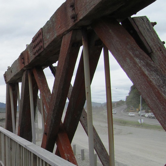
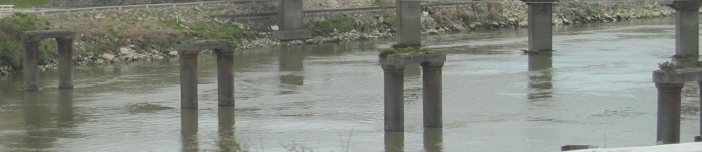
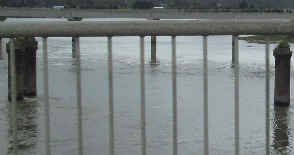
Exploring the Cobden Rail Bridge Heritage Park.
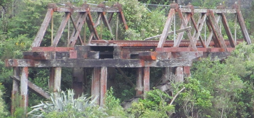
In the distance from the heritage park, you may spy the second remaining rail truss at the stub end of the old line on the north shore. It's not visible from NZ 6 directly above it. This is the only part of the old S-shaped bridge that remains in its original place.
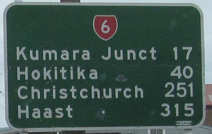
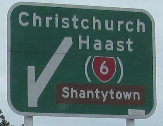
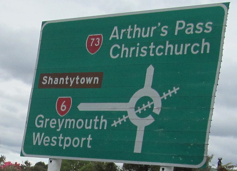
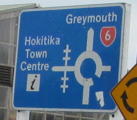
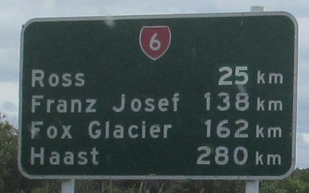
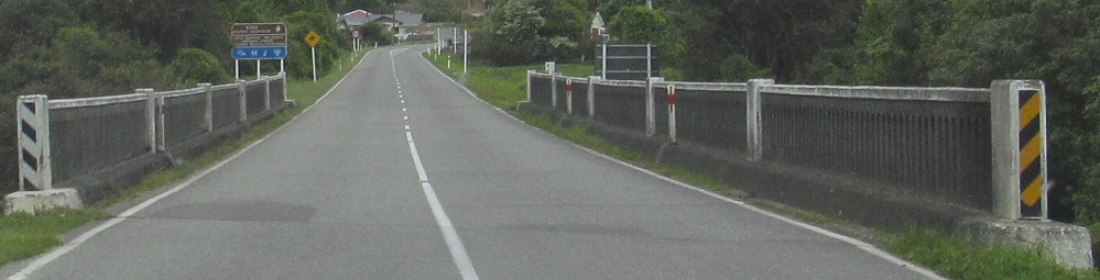
Did you spot the old font on the distance sign? The next photo is NZ 6 bearing right at Heaphy St. The parentheses implying "to" are unfounded.
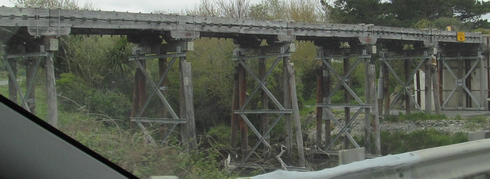
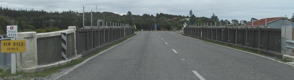
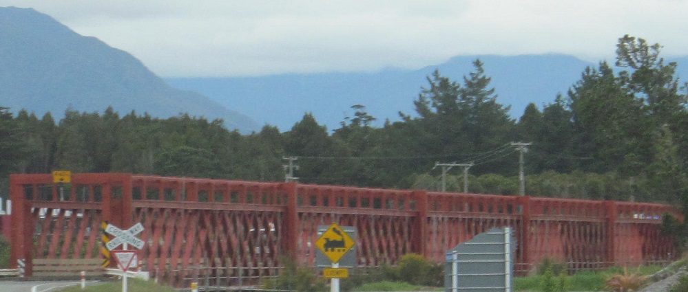
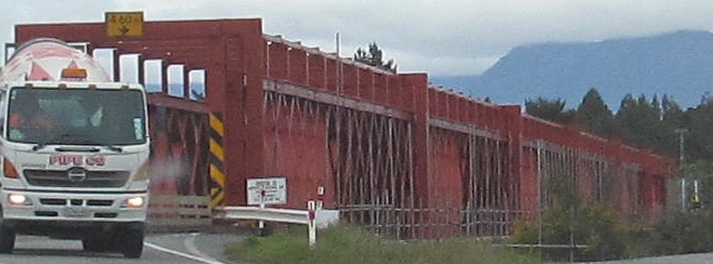
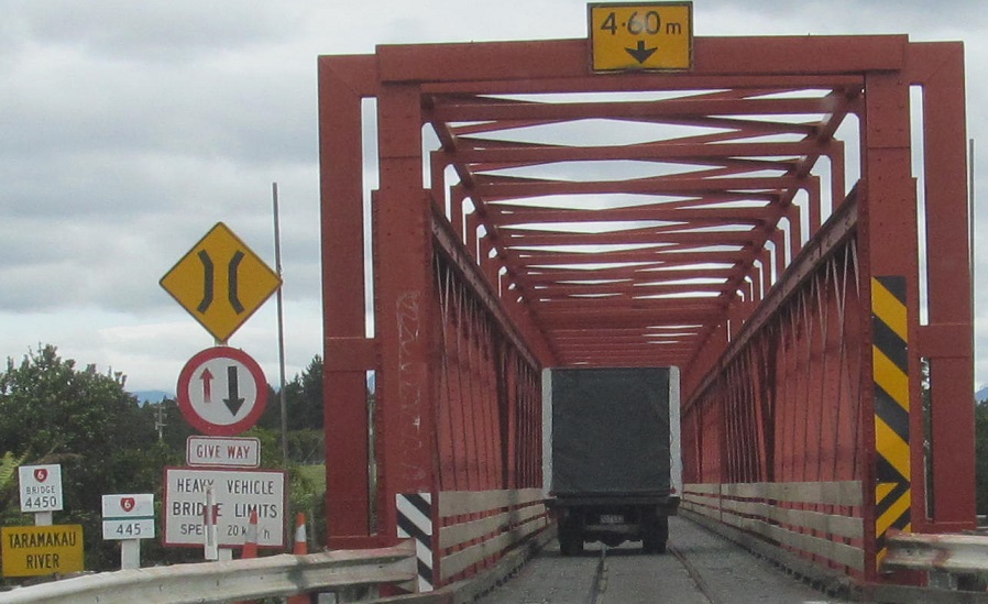

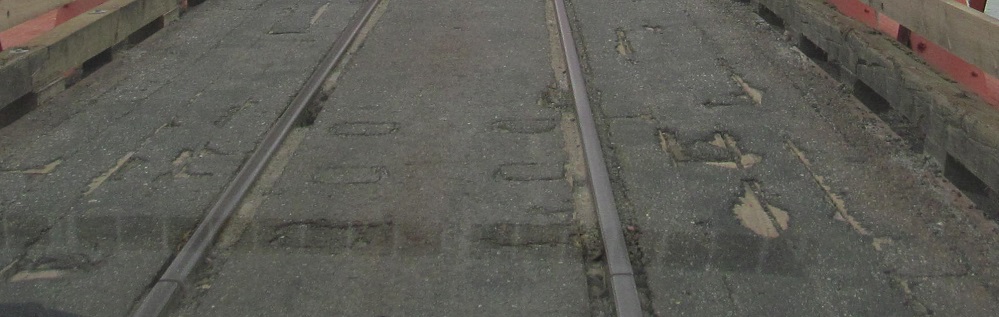
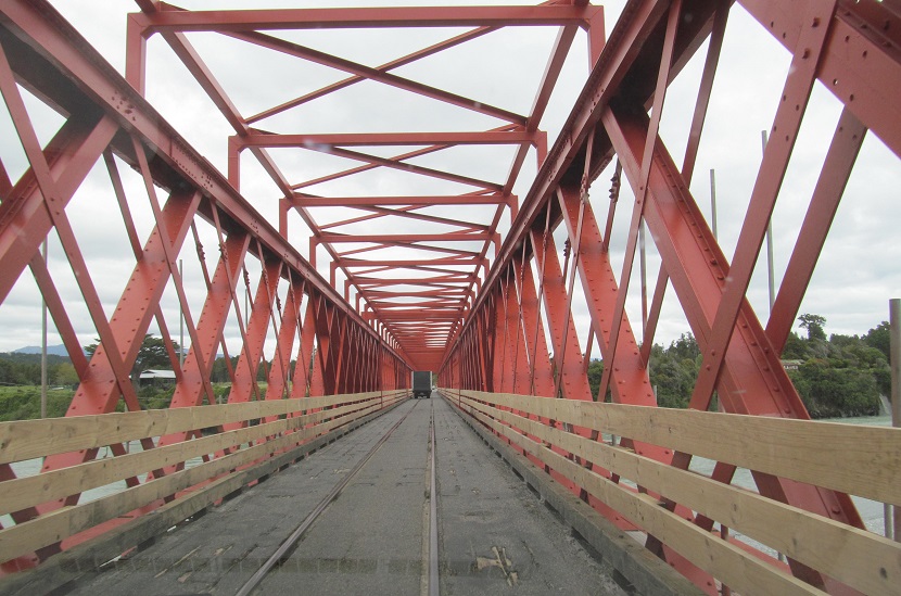
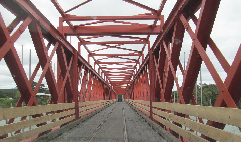
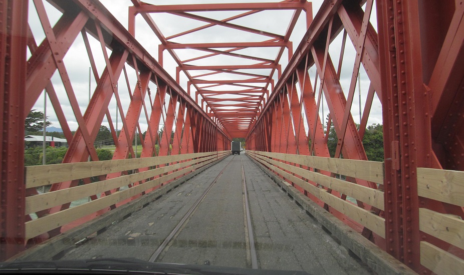
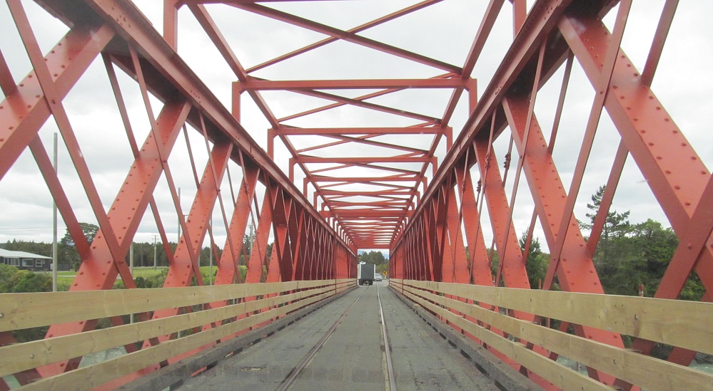
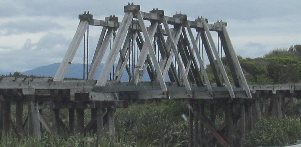
Saltwater Creek (railroad bridge), New River, and then a healthy dose of the Taramakau River bridge, a unique wooden-decked structure mixing freight rail and automobile traffic. (It's now, as of 2018, just a rail bridge, following construction of a parallel road bridge.) Never has "give way" been so understated.
Assorted old signs in Kumara Junction. The last photo looks back north.
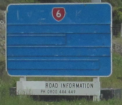
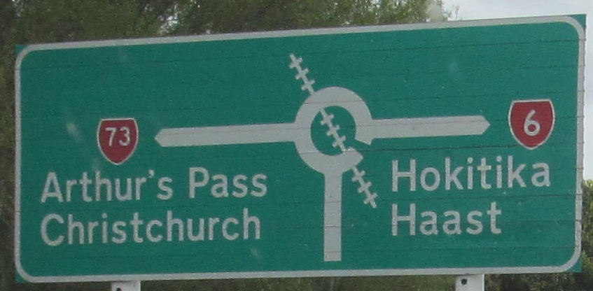
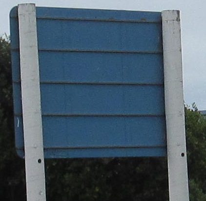
NZ 6 features periodic reminders on the status of Haast Pass. This is usually due to snow in the Southern Alps, but when I went through there was heavy construction at the summit, such that traffic could only get through during certain hours (I believe 10 AM to 5 PM). Surprisingly, none of the blue signs featured this information despite being ready-made for it. All they would have to do is manufacture sign panels fitting those grooves and swap out the blank covers. If the pass is closed, several signs warn you to take NZ 73 back across the island to NZ 1, avoiding a 300-km dead end at Haast.
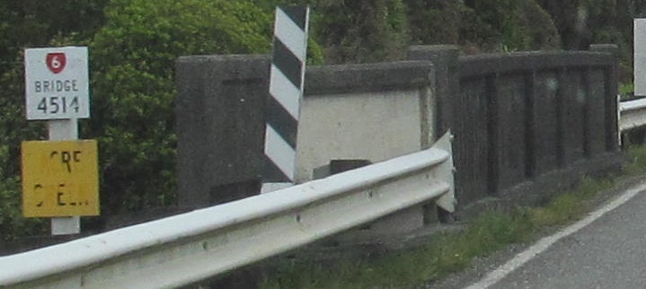
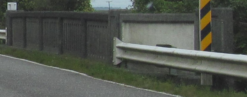
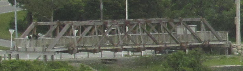
Acre Creek (left and right), Kapitea Creek, and Arahura Bridge Heritage Park on the south side of the current crossing. Couldn't tell you why I didn't stop there for more photos. This is the one truss preserved from the old shared single-lane bridge that carried both road and rail. So it's like the Taramakau River bridge except wooden. Fun?
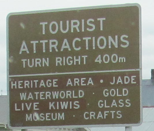
Old enough that the attractions have changed. Before there were only dead kiwis.
Anatomy of a really old sign from before the current green-backed standard, and then looking back at the equally old NB sign.
South across Donnelly Creek to Ross, which appears to have moved slightly.
Continue south on NZ 6
Back north on NZ 6
Back to NZ 6 main page
Back to New Zealand Roads
Back to Roads