New Zealand Roads - NZ 6 - North of Greymouth
NZ 6 north of Greymouth
All photos were taken southbound.
Starting out from Blenheim, across the Pelorus Bridge.
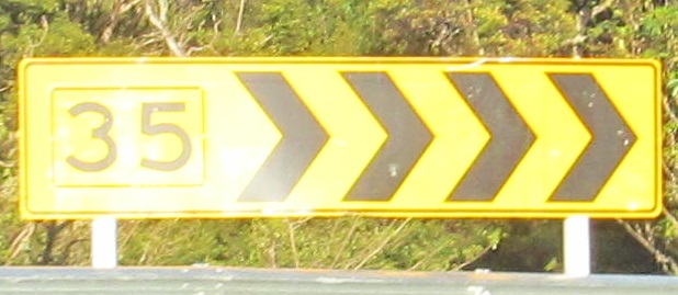
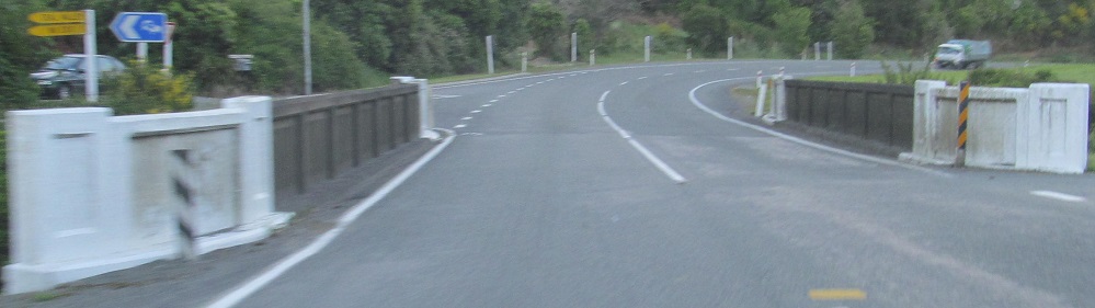
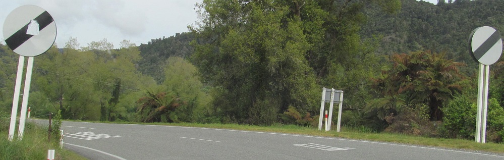
The boxed speed is not to standards.
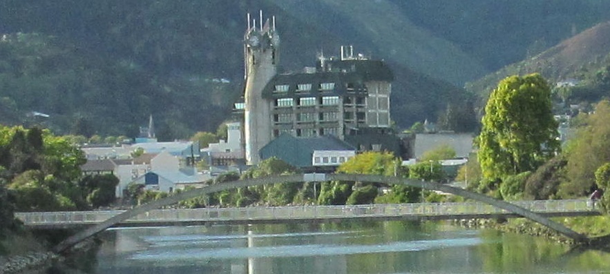
Across the Wakapuaka River, and looking east along the delicious Maitai River at a pedestrian bridge in Nelson.
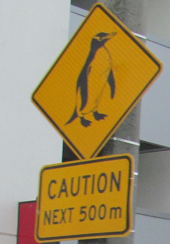
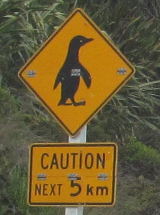
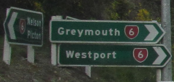
If you're ever not sure if a sign is standard in a country, see what happens when two different places try to use it. The first sign is in the Port Nelson neighborhood of Nelson, and I'm going out of order here to present the second sign from along the coast south of the Fox River. Maybe they're just two different species?
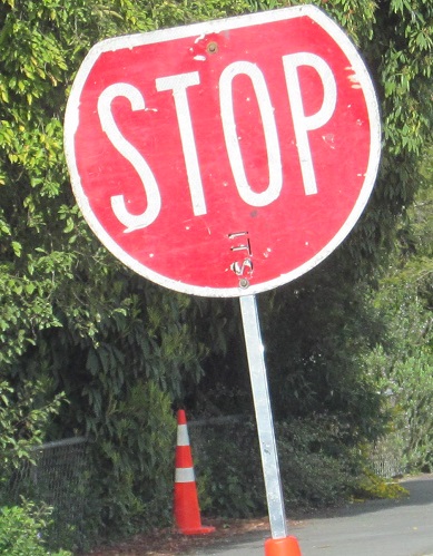
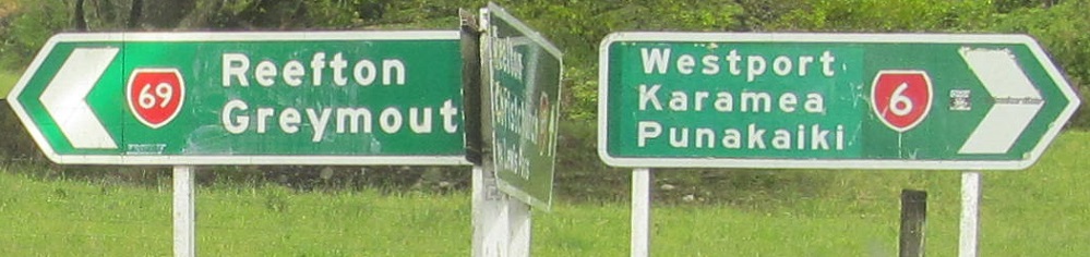
The STOP paddle looks like it was supposed to be a highway shield. I get the distinct feeling Westport was renamed from something similar, possibly West Coast (similar to how NJ replaced "Shore Towns").
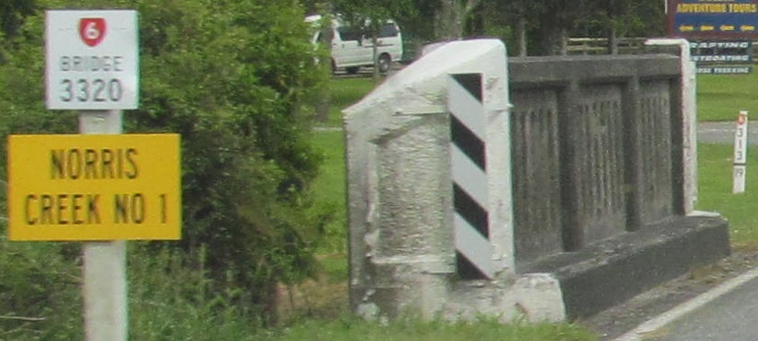
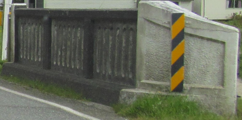
Across the Newton River.
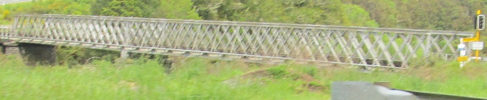
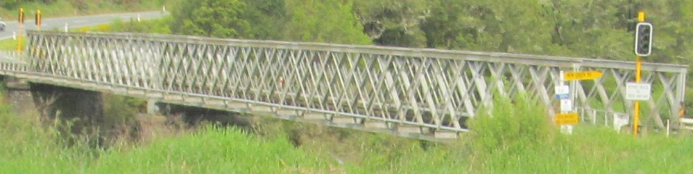
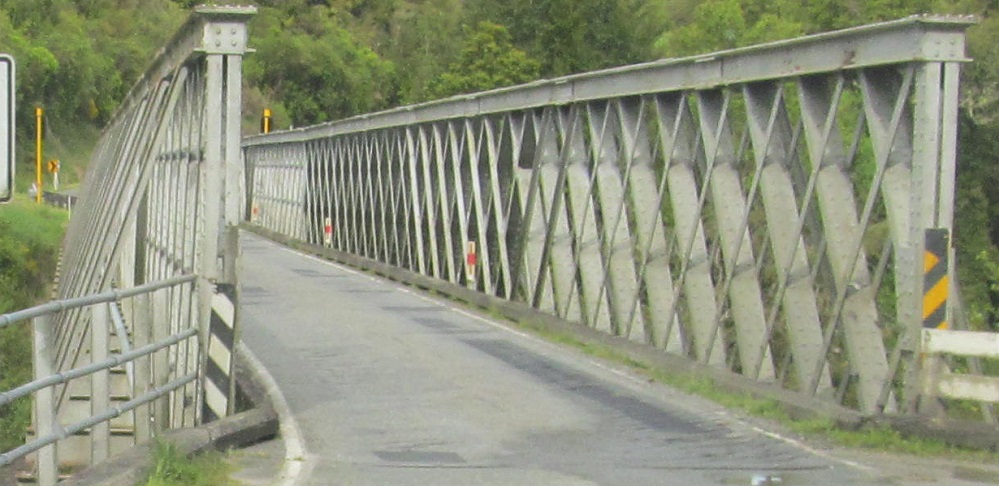
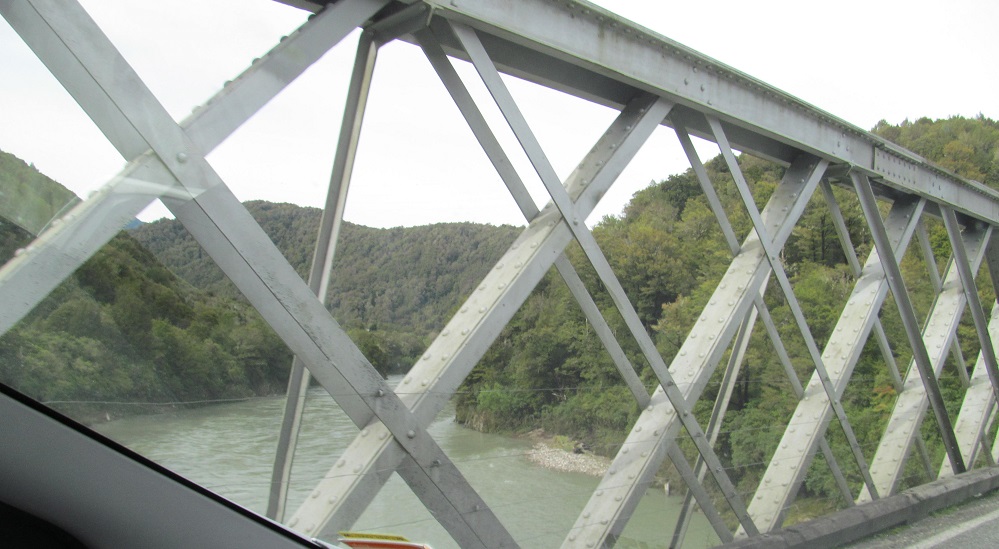
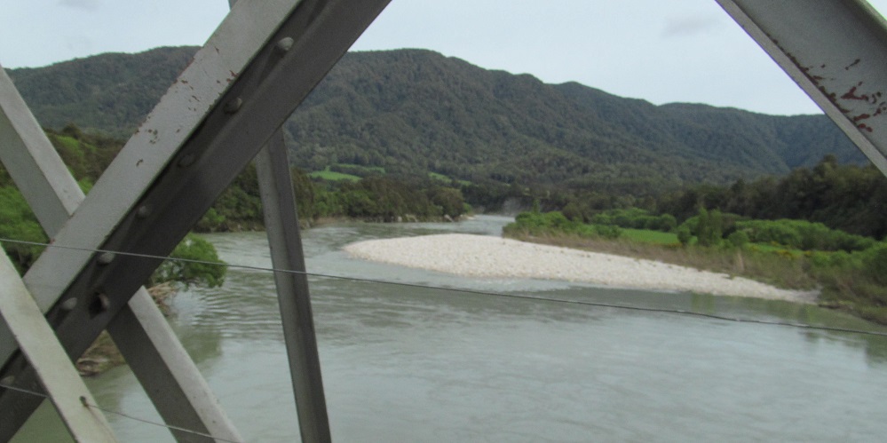
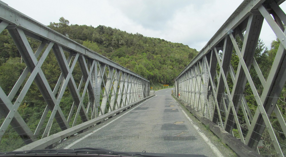
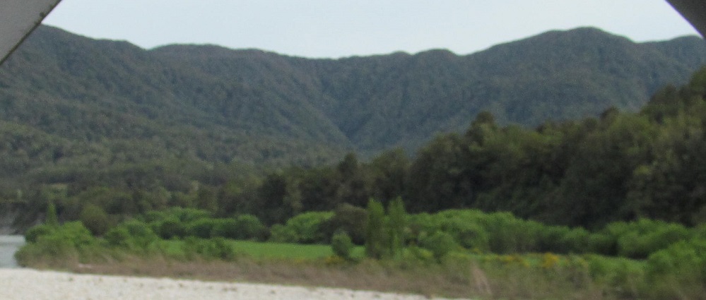
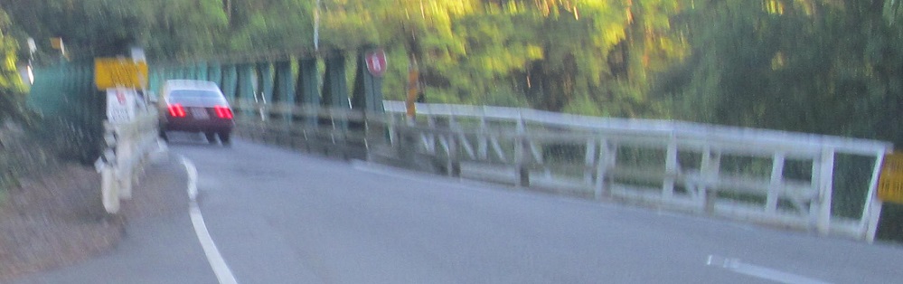
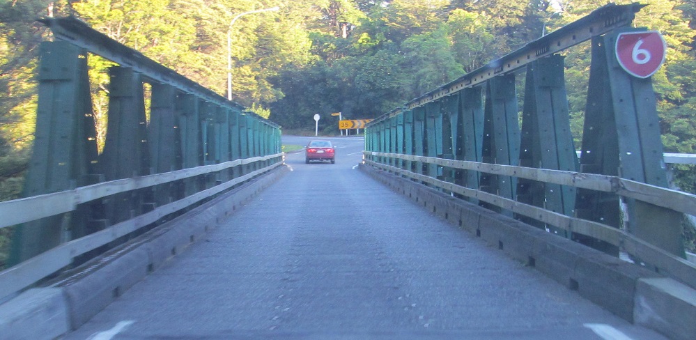
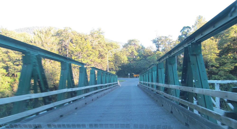
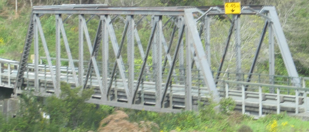
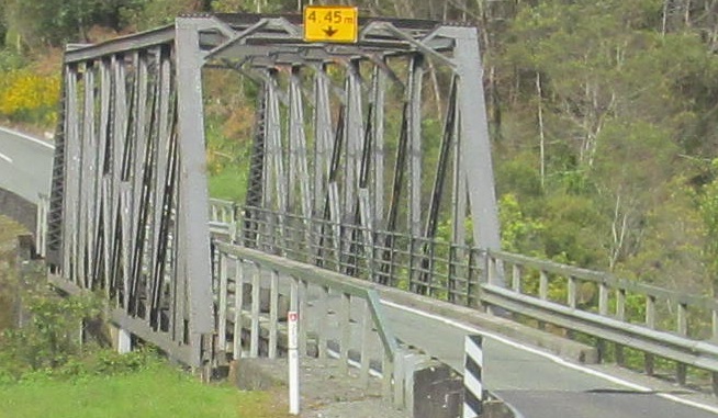
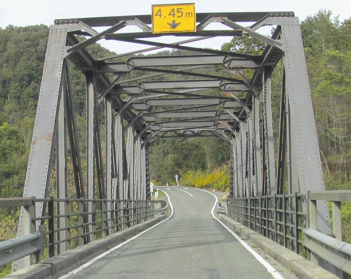
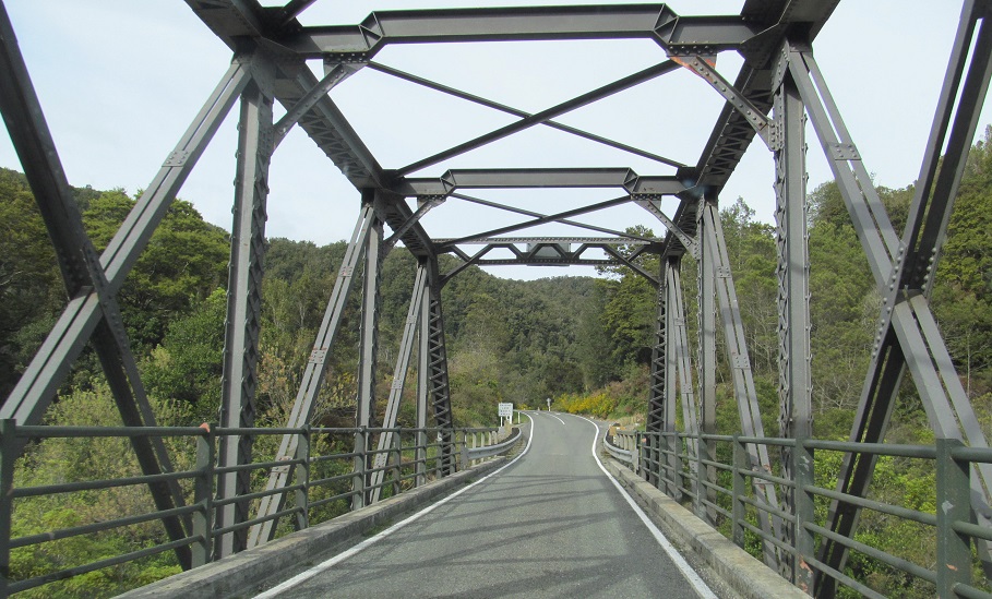
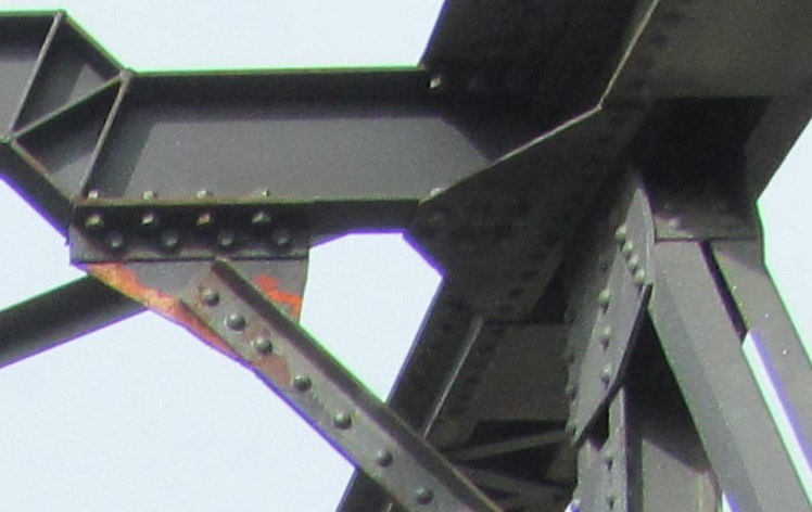
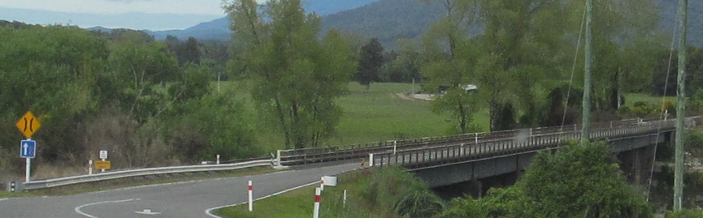
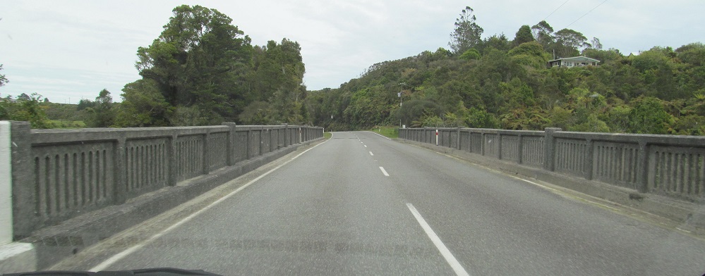
Now across the Buller River Iron Bridge, with some westward views thrown in.
Through the town of Inangahua, across a railroad and the eponymous river. The fun begins once the speed limit ends, but unfortunately there is still a statutory speed limit.
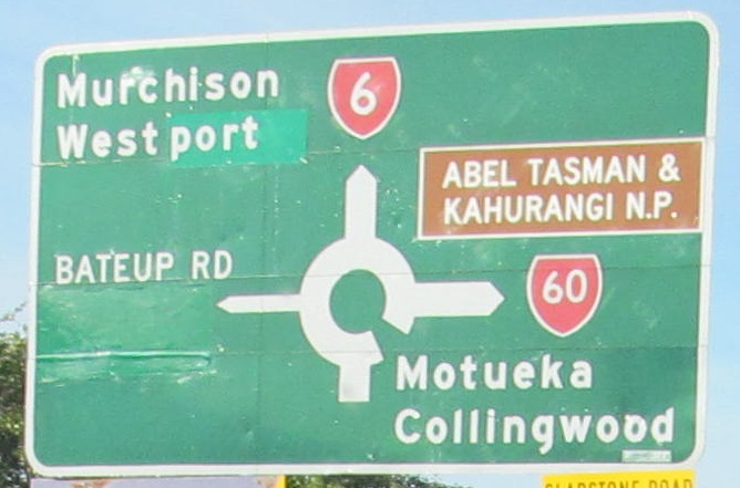
Here, Westport causes an entire sign's worth of greenout.
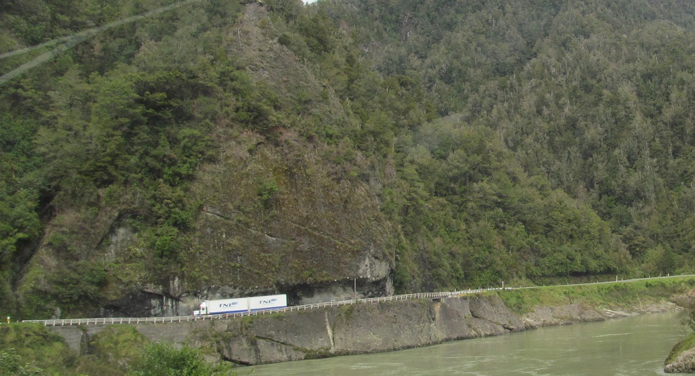
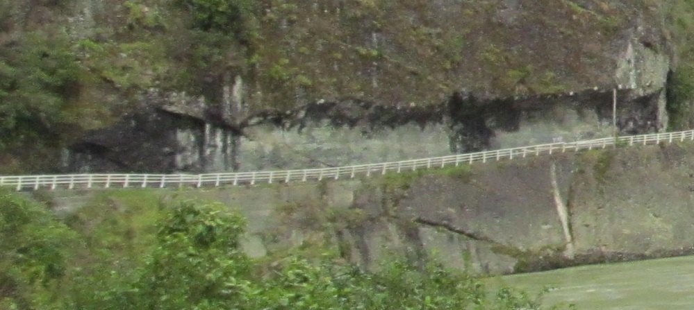
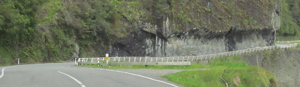
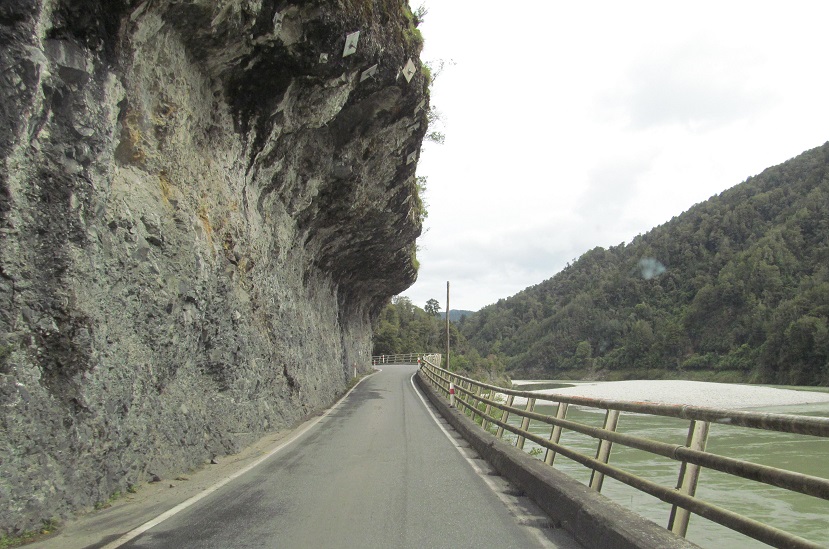
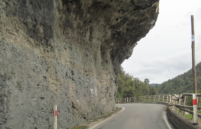
NZ 6 enters this rock just after Kilkenny Lookout, as in Lookout for the trucks. No surprise that it's only a single lane, but there could be a surprise partway through since you can't see from one end to the other. It's called Hawk's Crag and is now 150 years old and counting.
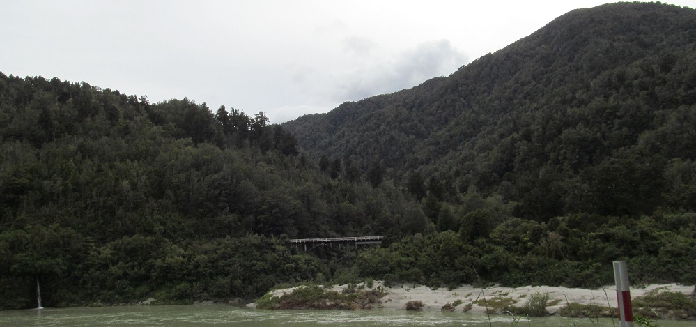
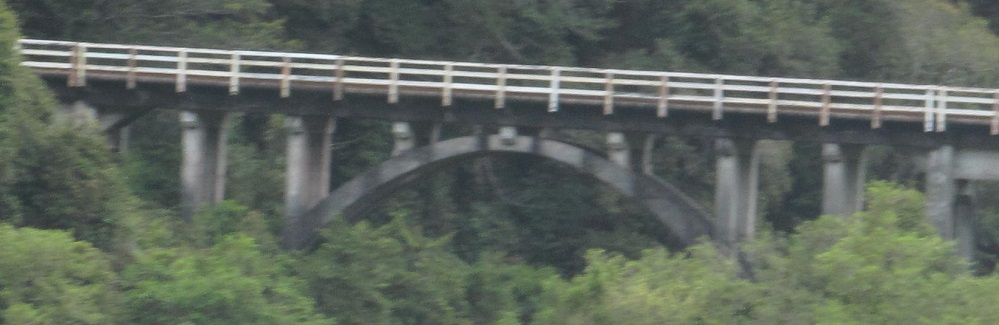
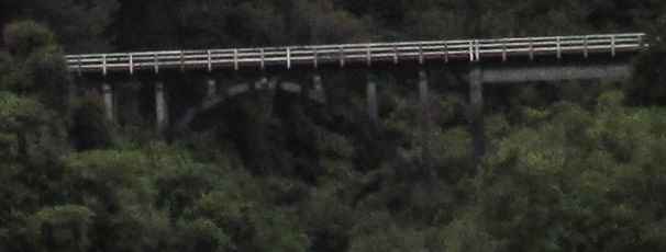
A taste of Non-Roads as I show you the parallel railroad crossing of Redmond Creek, looking across Buller River.
Out of the mountains to the Waitakere River.
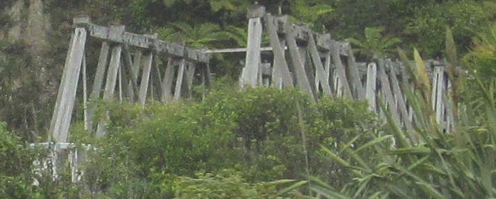
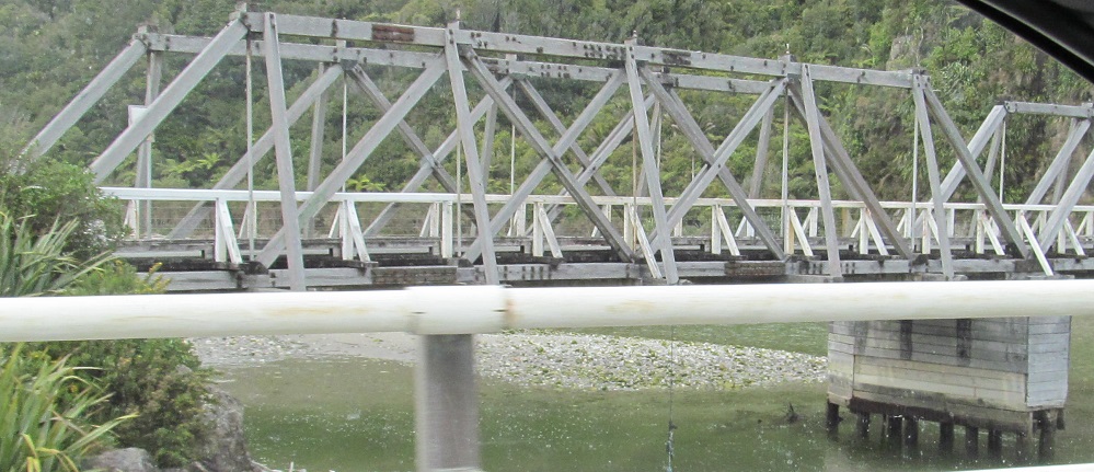
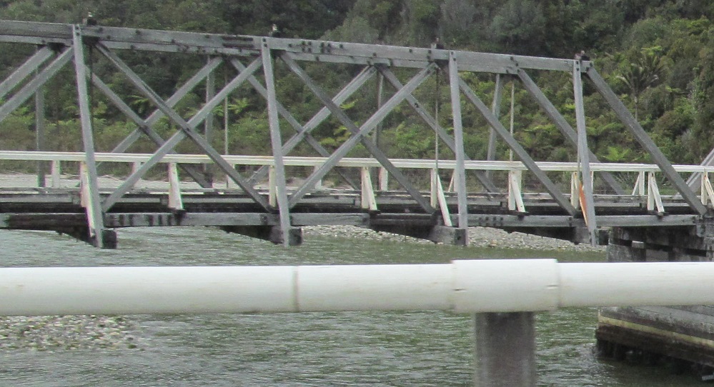
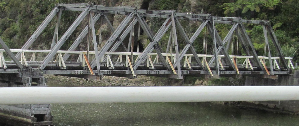
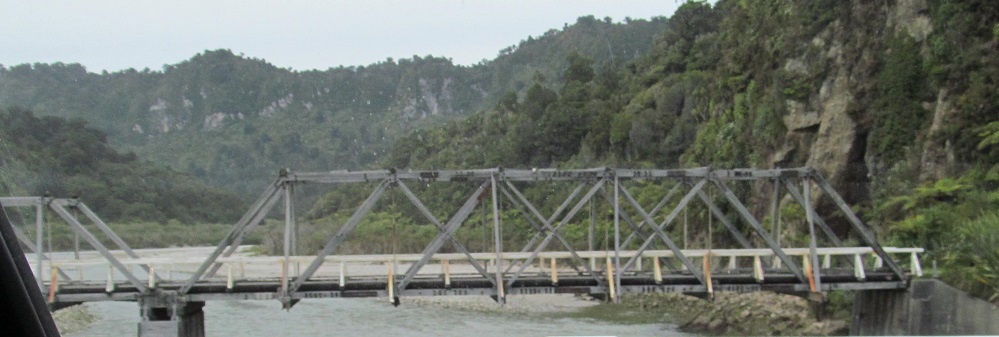
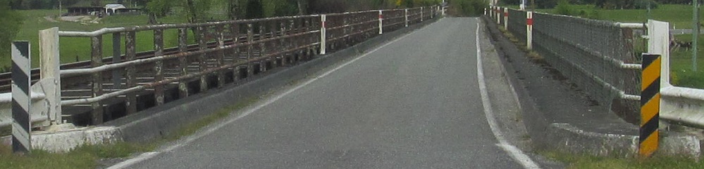
Not on the old, wooden Fox River Bridge.
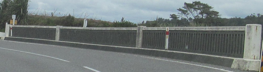
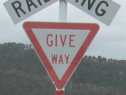

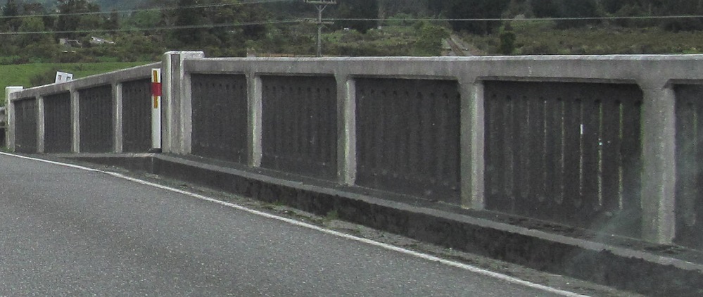
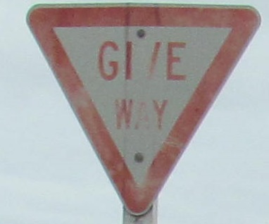
Half of the Seven Mile Creek bridge leaving Rapahoe, on past the Camp Overbridge railroad crossing. The last Give Way sign is at the Cobden Bridge crossing of the Grey River into Greymouth.
Continue south on NZ 6
Back to NZ 6 main page
Back to New Zealand Roads
Back to Roads