New Zealand Roads - NZ 1 - N. Island - Wellington-Auckland
NZ 1 (North Island) between Wellington and Auckland
The first 23 photos are southbound and progress southward from Waiouru. I'll make another announcement after the breakline.
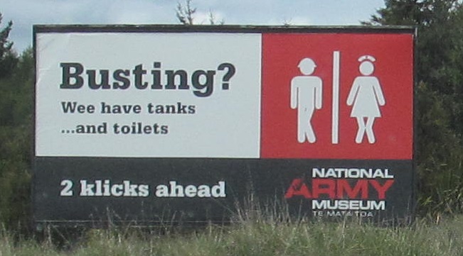
Aussies aren't the only cheeky ones down under. Just don't show everyone your cheekies when you get there. Can you spot the spelling enhancement?
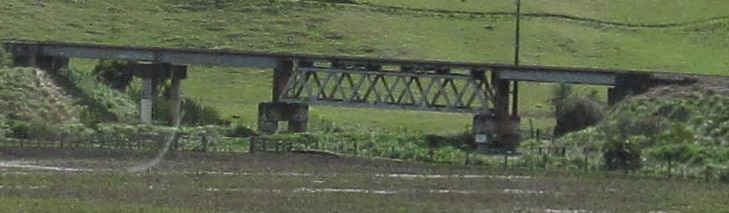
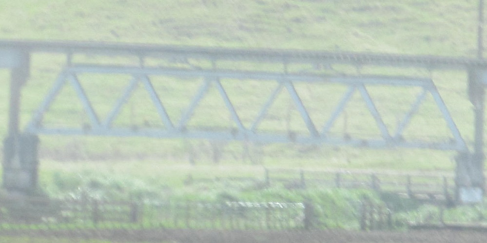
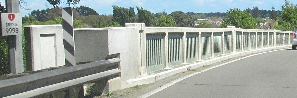
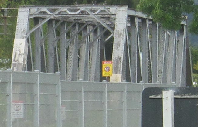
Railroad truss to the east about 9 km south of Waiouru.
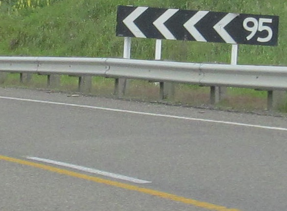
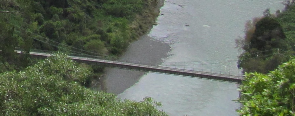
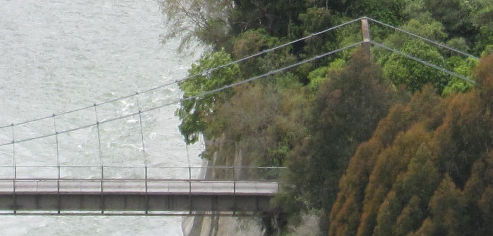
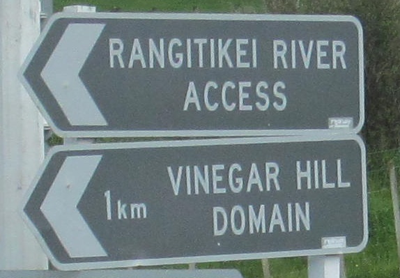
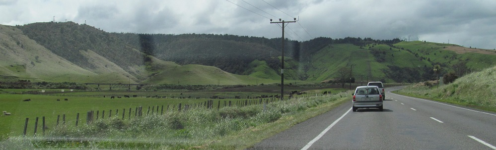
From Mangaweka to NZ 54, with a pause at Mangarere Rest Stop to espy the Mangarere Rd. suspension bridge across the Rangitikei River. Curve signs are now black on yellow. Also, this is probably the highest advisory speed New Zealand will ever post.
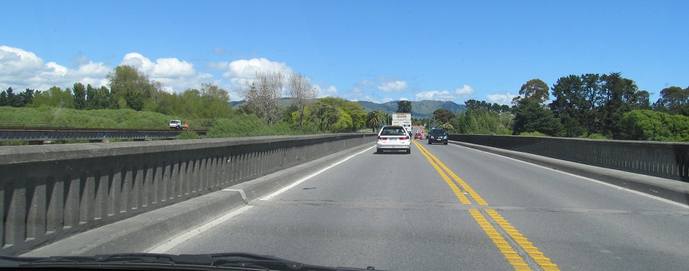
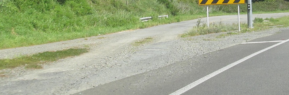
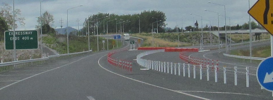
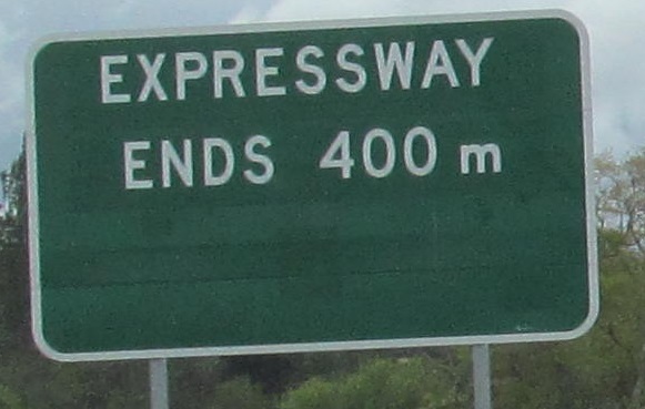
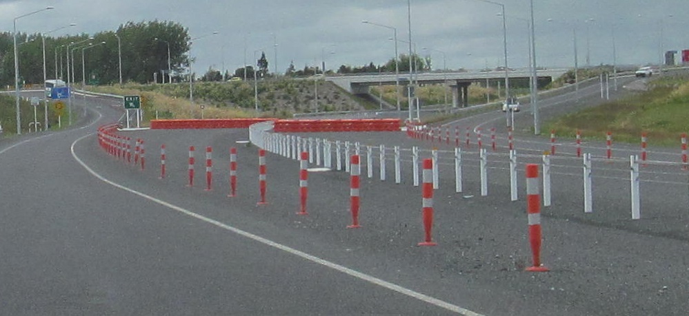
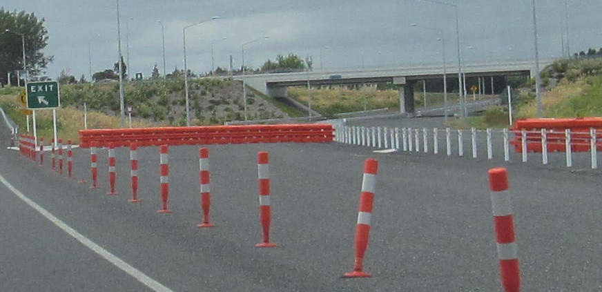
 South side of Ohau.
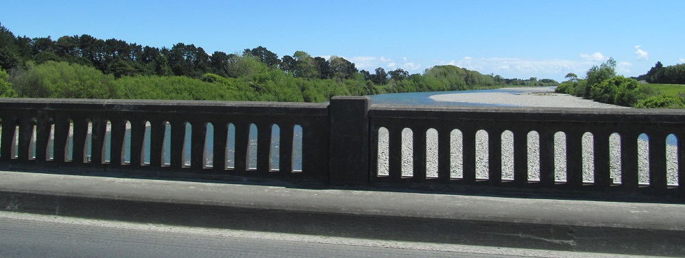
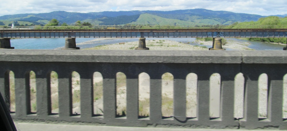
Continuing through Otaki. This region seems to dislike cutting out signs. The last 4 photos are over the Otaki River, then looking west and east.
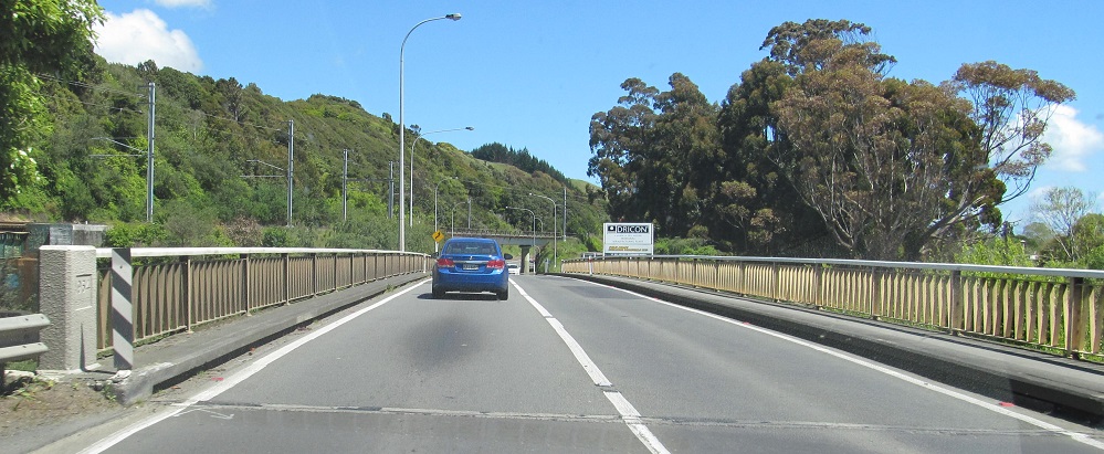
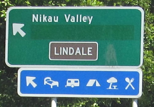
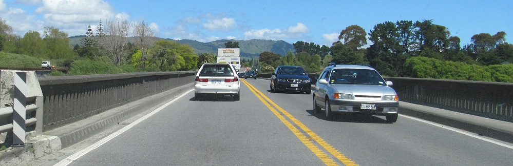
This stretch of photos is on the road from Waikanae to Paraparaumu, which was since bypassed by a freeway and thus is no longer NZ 1. That's why I included the last photo, because it'll never look like this again (with the 1 shield). The Waikanae River bridge dates to 1964. The covered part of the Nikau Valley sign (at Nikau Palm Rd.) is for Whitireia Polytechnic, a state-run college with several campuses including Paraparaumu. It still has a campus there, just renamed to Whitireia New Zealand, so I don't know why the whole thing got excised instead of just patching over the second word.
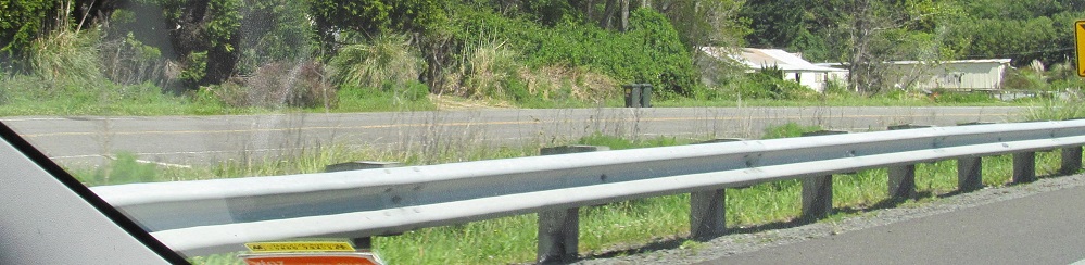
An old curve nearing Paekakariki.
This sign seems to keep getting patched but not replaced. I question both how a relatively new sign could need so many overlays on it and how the overlays are doing that badly already.
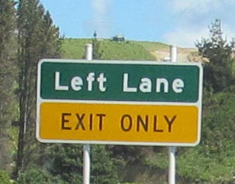
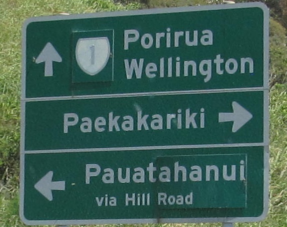
Signs get poorer as I head toward the Porirua city centre exit. This is not how it's done. Not the border between panels, not the capitalization, just no.
All of the remaining photos are northbound except the last one. They progress northward from Hamilton.

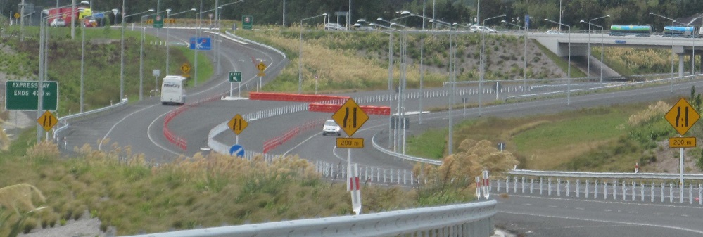
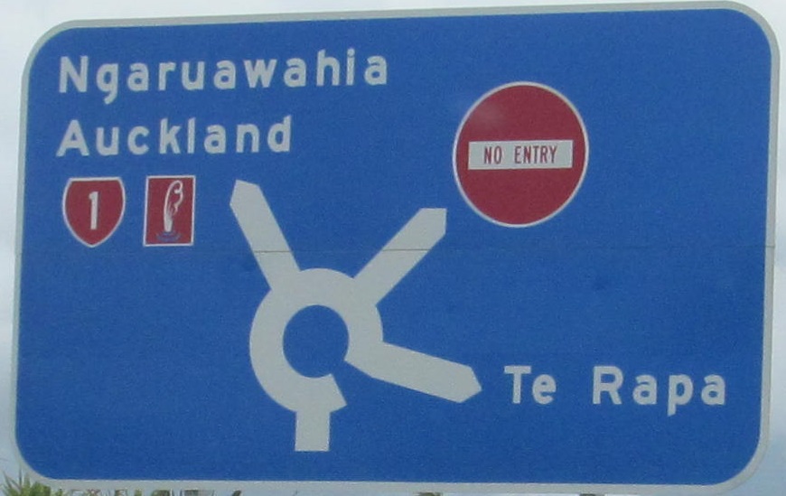
This is now at NZ 39, but it was temporarily designated as 39A until 2014, and I was there in 2013. To avoid confusing people, it was left unsigned until 39 was officially transferred over, but that left a big blank space and a tiny 23 several km after the actual NZ 23 junction. The NZ 1 bypass that I'm traveling on had just opened in 2012. Before then, NZ 1 went through downtown Te Rapa up to Ngaruawahia, and NZ 39 continued north through Te Kowhai to meet it there. (39 itself is a spring chicken, born in 1999.) This exit captures the middle of the redesignation, as 39 still went north to Ngaruawahia but no longer met 1 there (temporarily).
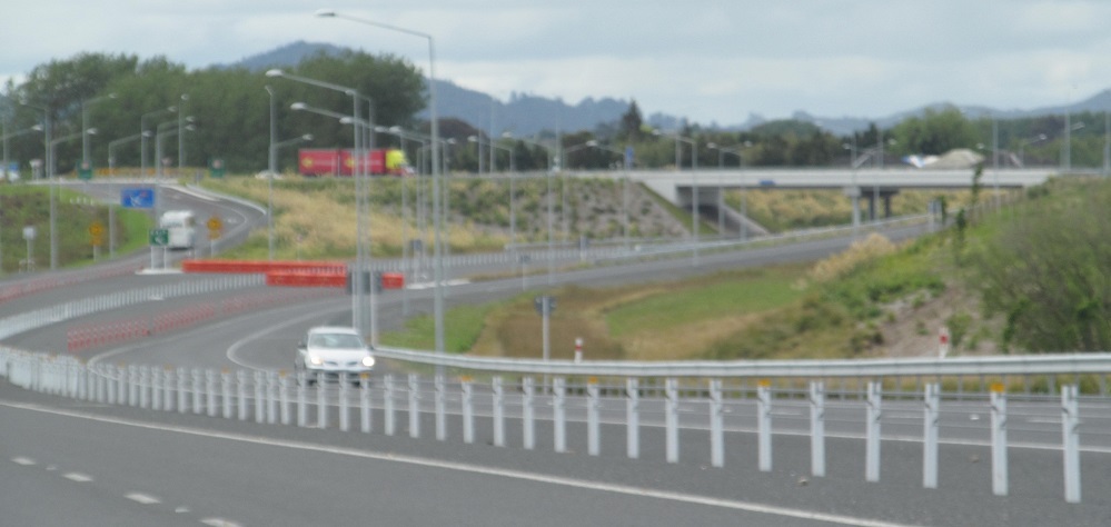
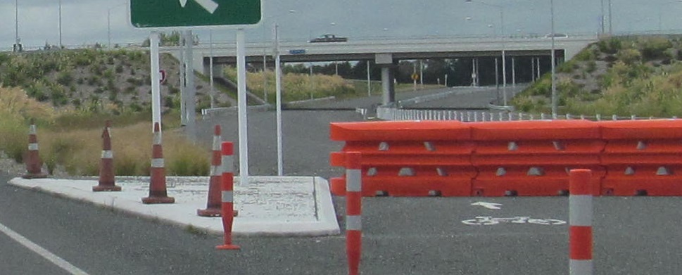
This is the temporary end of the road - since completed. The signs now read "Horotiu / Ngaruawahia", with the first one adding "EXIT 1 km" and the second with a left arrow. There is absolutely no reason why they couldn't have read that from the start, since all traffic is forced to exit anyway. It appears the new freeway allows bicycles, which is odd because the old road is perfectly capable of handling them. Also, I thought blue signs were no longer used in New Zealand for guiding motorists, so the ramp sign is either an error or I have some more homework to do.
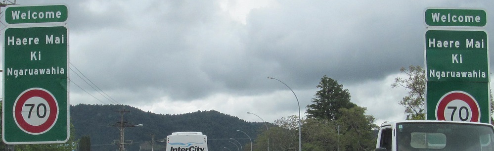
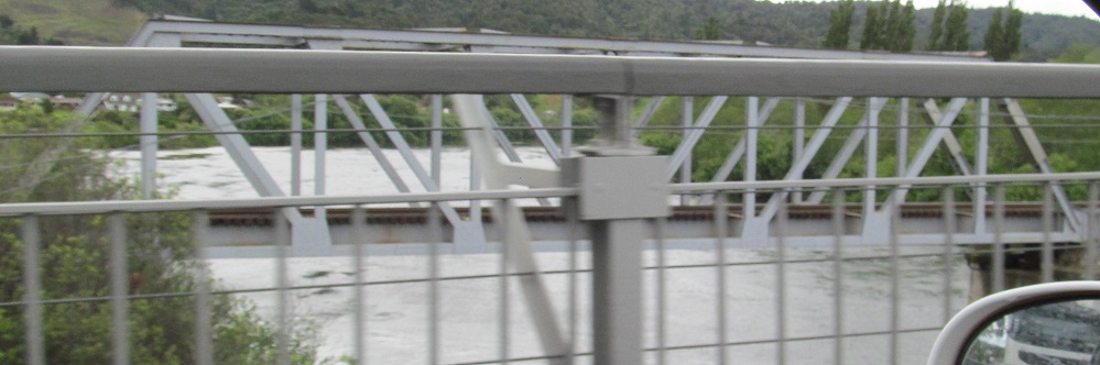
It doesn't matter if the welcome sign is falling apart, because this will no longer be NZ 1 within a year. The truss is the southernmost railroad span of the Waikato River, but the other spans are boring.
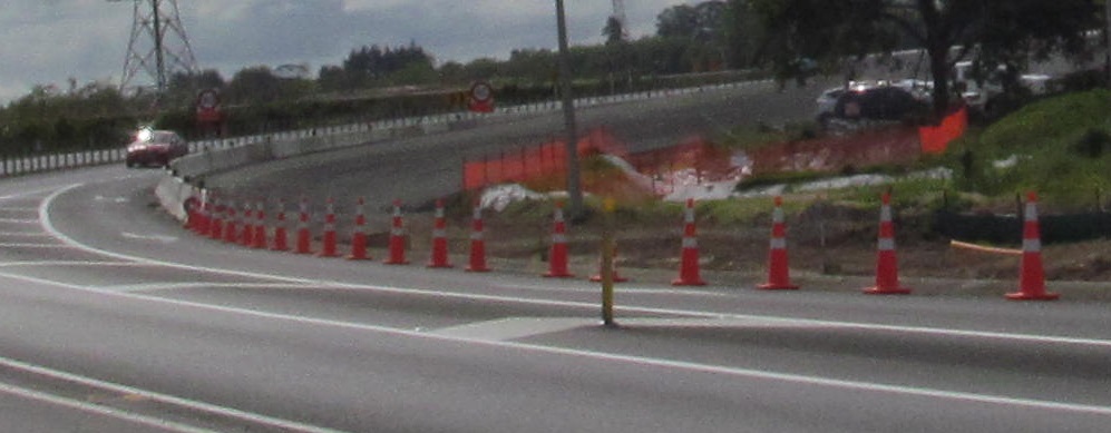
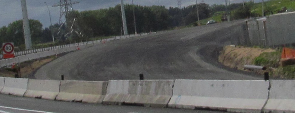
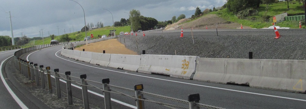
Dualization is underway on the south side of Rangiriri, extending the divided highway (though not the motorway) south from Auckland toward Hamilton. There's still a gap through Taupiri and Huntly as of 2019, but construction is underway to create a continuous highway. In all my New Zealand travels, NZ 1 between Hamilton and Auckland is by far the busiest stretch of road outside of a city, so this is needed and welcomed.
 This sign, I want to fall apart.
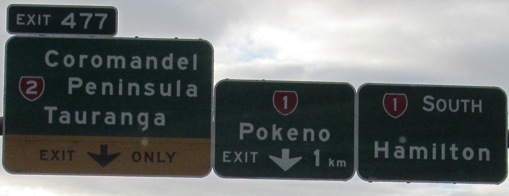
Here's the last, SB photo. So, this is confusing. The Pokeno exit is for a short stretch of former NZ 1 through that town, but since New Zealand doesn't do business routes, it should just have no shield at all. Perhaps the idea is to let people know that it will rejoin the main highway, but the problem is that nothing suggests which road is superior (hint: stay on the highway), or even that the Pokeno exit continues south as opposed to U-turning or branching off in some other direction randomly. It should say "EXIT 478" where the 1 shield is, and "1 km" for the entire bottom line. Overall just a really strange sign.
Continue north on NZ 1
Continue south on NZ 1
Urban Route 3 (Papakura), former NZ 1
Back to NZ 1 main page
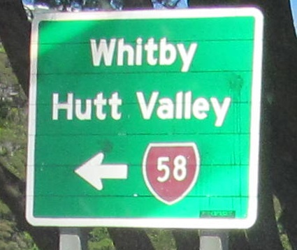
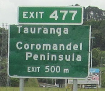
Exit 477 to NZ 2
Back to New Zealand Roads
Back to Roads