New York Roads - US 4 and 4/NY 32
 and US 4/NY 32

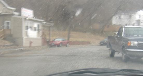

A snowy drive southbound on Old Mill Street in Troy, the cobblestoned original US 4.

Southbound at the Troy-Menands Bridge, NY 378. The tapered arrow gives away how old this presumably non-reflective LGS is. The bridge opened in 1959, and this sign could in fact be that old - more likely it's from around the early 1970's.

US 4 NB bears right on 4th St. as 1st St. continues nearly straight. Main St. crosses at this 5-point intersection to Winslow Ave.


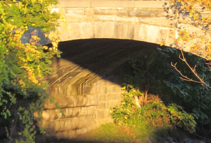
4th St. NB at Canal Ave., which is along a river named Poesten Kill. There is no canal but the river was given a manmade channel through the city. The second photo looks west at 3rd St., which carries US 4 SB on an 1875 stone arch.


Since the sun's in the west, I took some photos of 3rd St. facing east on Canal Ave.

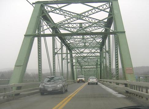
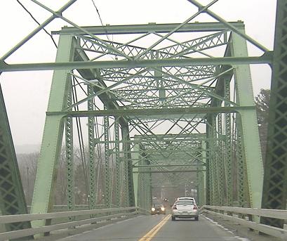
Looking west along the unusual Green Island Bridge, just south of the NY 7 Collar City Bridge.
The Troy-Waterford Bridge (gee, New York sure is creative), southbound across the Hudson River. A century ago, there was a covered bridge around here called the Waterford-Troy Bridge....

On the NB side just after crossing the Troy-Waterford Bridge.

3rd St., US 4/NY 32 SB in Waterford just before the break up in the center of town.


The US 4/NY 32 SB (bottom) and NB (top) signs at former NY 338 in Schuylerville, Burgoyne St. The flat-top sign is the old New York standard for the bottom of an assembly like this.

This equally old and similarly painted plaque is at the northwest corner of the same intersection.

One more just north of those, SB at NY 29 in the same town, courtesy John Krakoff.


Heading north across the Northumberland Bridge, away from the end of the NY 32/US 4 duplex. Nope, no center stripe for US 4.

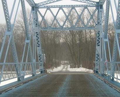
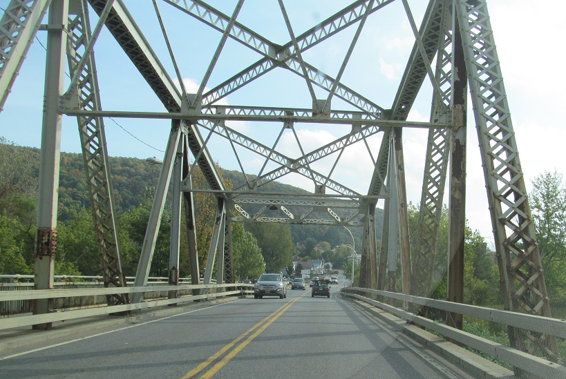
The North River Road bridge in Fort Miller, leading onto a manmade island by crossing the Delaware and Hudson Canal. I wonder how the clearance of a steel structure can change (in reality, it was probably adjusted for accuracy - i.e. to undercut the actual height by 6 inches instead of 9 or 12). These photos were taken heading off the island; this video was taken heading onto the island.

Old-style historical marker along US 4/NY 32 NB.

Shine enough morning and afternoon sun at the front and back of this Hudson Falls sign, and the lettering bleeds straight through the metal! That's mineral leaching for you.

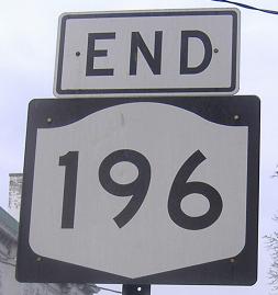
Older cracked sign, and then some very off-center US shields, northbound around a triangle just past NY 196.

Heading north from NY 149. US 4 is east-west in other states, as its number suggests, but it would have to trade places with 149 to be an east-west route in this state.

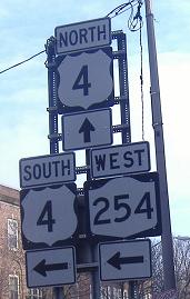
Courtesy Doug Kerr, these northbound shields should all be US 4. This error is repeated all the way to the Vermont border. According to Chris Jordan, these are all US 4 shields now.


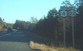
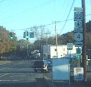
Big shield and fading signs as US 4 leaves NY 22. The turn to Whitehall is down Skenesborough Dr.


Across the Champlain Canal, past Whitehall Armory, just about to the Vermont border. The armory is now an athletic club. Come work out in a castle!
If you missed it, cross the North River Road bridge in Fort Miller
NY 197 and 197/US 4
Back to NY 32 main page
Into Vermont on US 4
Onto NY 378
Into Troy
Into Green Island
Onto NY 29
Onto NY 22
Back to New York Roads
Back to Roads