New York Roads - NY 7 - E. of Sidney
NY 7 east of Sidney
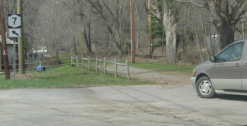
Old stuff WB from the end of NY 357, including a former alignment that once had an at-grade railroad crossing along it (see the new overpass in the second photo). The old Catskill Turnpike followed NY 7 from 357 west to NY 206 in Bainbridge.
Old shields on the EB duplex in Oneonta.
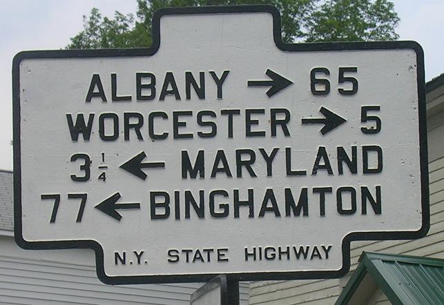
EB at Elk St., CR 34, in Schenevus and CR 34 NB, courtesy John Krakoff. Only the top sign got the hump on top. You can stand here and claim to have found the only place in New York closer to Maryland than to any NY destination.
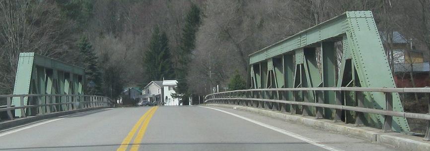
EB across Cobleskill Creek with NY 145.
EB and WB county shields at Caverns Rd. and Wetsel Hollow Rd. by Howes Cave.
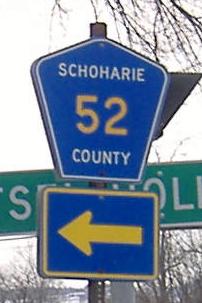
This once stood at the end of Schoharie CR 8 (Caverns Rd.), exiting Howe's Cave, but has been replaced! The 7 shield looks more like the silhouette of the eagle on the Albanian flag than that of the New York State emblem. Courtesy Doug Kerr.

EB with an upside-down shield.
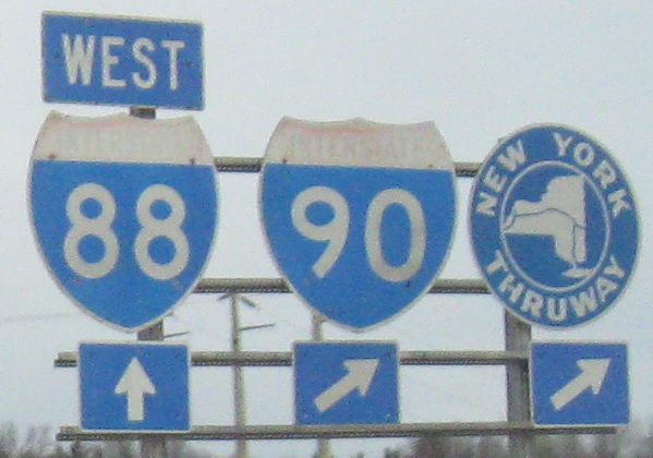
The last interchange on I-88, entering from NY 7.
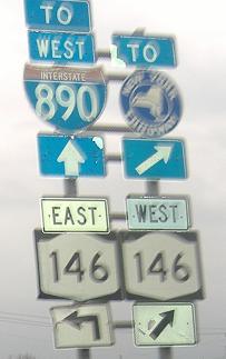
Non-reflective shields eastbound south of Schenectady and east of Rotterdam. Yes, westbound is just a bear right, because NY 7 EB is heading southeast and NY 146 WB is heading just about due south.
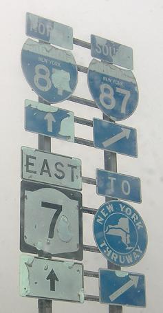
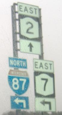
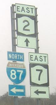
Unusually old shields are all over the place at I-87 Exit 6, but there's only one assembly with old I-87 shields, and it's eastbound (which is where all of these photos were taken). The other old shields are all NY 2 shields, which for some reason are all worn in the digits while the NY 7 shields, which look every bit as old, are relatively untouched. Before the freeway bypass to the north that requires the brief use of I-87, NY 7 originally followed NY 2 through Troy before turning on 15th St. back to its current alignment.
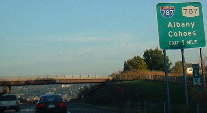
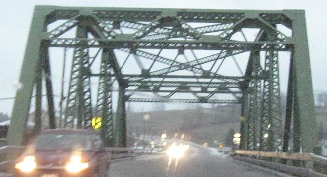
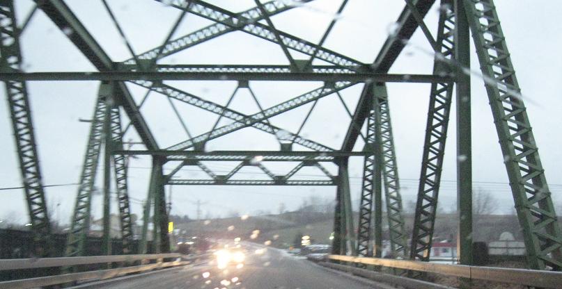
Taken EB on the NY 7 freeway, approaching the point at which I-787 loses its Interstate status. Except see the next caption.
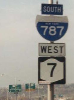
I-787 begins along NY 787 according to most signage, but that is just a matter of convenience. It actually begins right here in Troy across the Collar City Bridge before exiting. NY 787, built as an extension of the Interstate, continues a bit longer next to NY 32, then peters out at NY 470. State-name shield courtesy Doug Kerr.
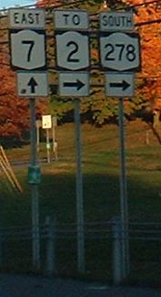
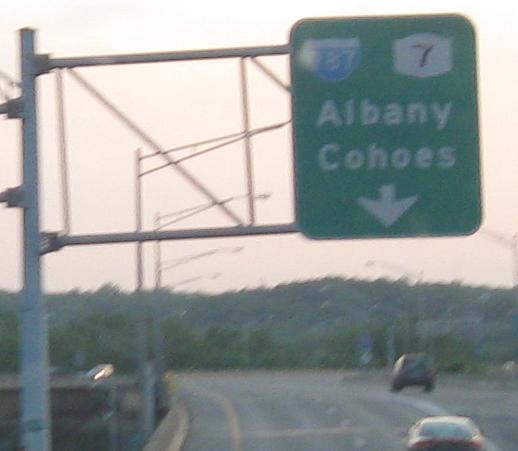
Off the end of the freeway, you come up to Route 278. Nope, not I-278, which is NY 278I. Also notice that NY 2 is signed for the last time from NY 7. They will now head toward different states.
Two roads heading away from NY 7, CR 109 EB in Boyntonville (old NY 7) and EB at Babcock Lake Rd.
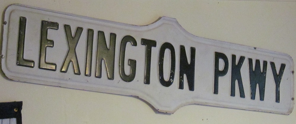
I think this was on the wall inside Man of Kent Tavern along NY 7 in Hoosick Falls. It turns out NYC does not have a Lexington Pkwy. The closest one appears to be in Niskayuna but the most prominent one is in St. Paul, MN, so this is likely from one of those two.
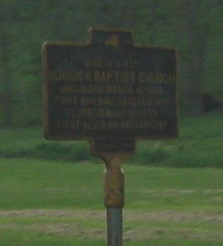
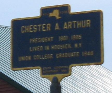
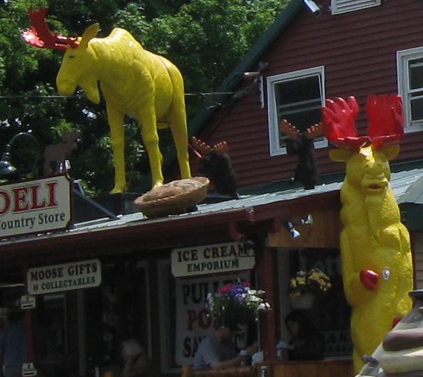
WB and EB historical signs and some country kitsch at the Big Moose Deli and Country Store. I think the moose are here year-round and not just hanging out for Moosefest in Bennington.
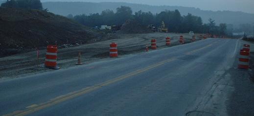
Continuing east, which is where the shield on top comes from (note the green NY route marker on the pole, route number on top - in this case, just 7, not 0007), NY 7 turns into VT 9, which meets US 7 a few miles to the east. Construction has now been completed on a bypass of this stretch of VT 9 (the Bennington Bypass, named for the small city in Vermont), starting a half mile into NY; see the Bypass page, linked below, for details. Here it is under construction, seen from NY 7 EB courtesy Doug Kerr.
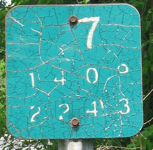
The first WB reference marker, right at the state line and an inch above a much newer one with the same numbers. No idea why the old one wasn't removed - I thought this post had both an NY marker and a VT one, but this was almost as interesting.
Continue west on NY 7
Back to NY 7 main page
Into Vermont on VT 9
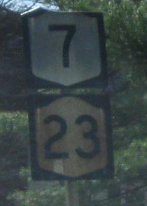
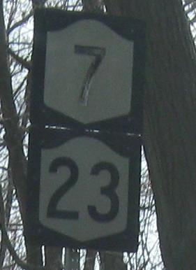
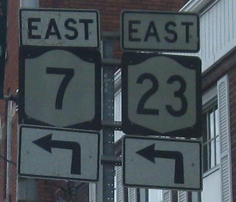
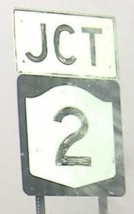
Onto NY 23
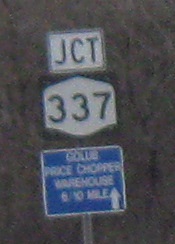
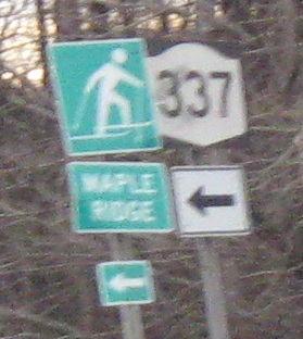
Onto NY 337
Onto I-88
To I-90, the New York Thruway
Onto NY 146
Onto I-87
Onto NY 2
Onto I-787
Onto the Bennington Bypass
Back to New York Roads
Back to Roads