New York Roads - NY 52 W. of Ellenville/Old NY 17
NY 52 west of Ellenville and 52/former NY 17
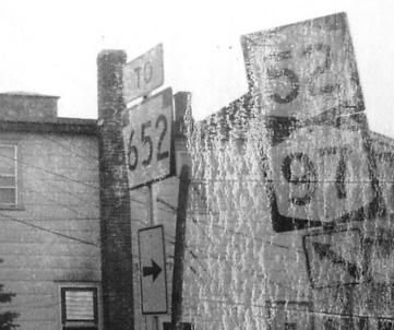
EB in Narrowsburg in 1972, when this short stretch of road linking PA 652 and NY 97 was still NY 52. Now it doesn't have any of these cool old signs and it's just Sullivan CR 24.
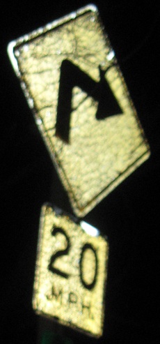
WB at a county-signed turn in Lake Huntington. Sullivan County hand-painted NY shields after the state stopped making them, possibly even after the state switched to the FHWA standard font.
EB at a sign needing a "JCT," and a sign needing replacement at NY 52A.
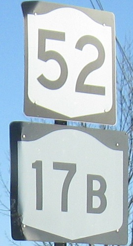
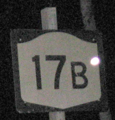
WB on the short concurrency, with a rather unusual font on NY 17B. It almost looks like a hybrid of the old NYSDOT font with the modern FHWA one.
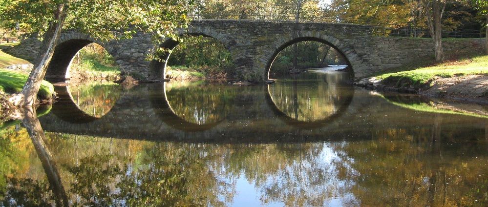
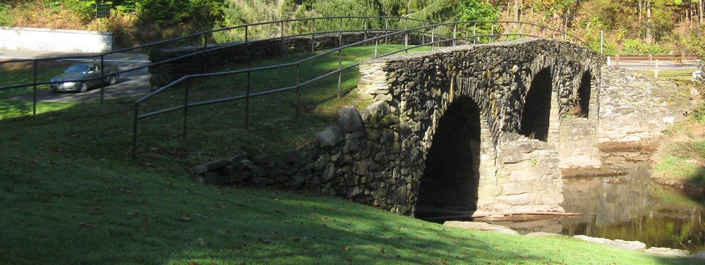
The current NY 52 EB approach to the original stone arch bridge across Callicoon Creek, just north of the NY 52A junction. The bridge dates to around 1880 and a sign attests that it was built by Swiss German immigrants Henry and Philip Hembdt. I dare you to find a modern bridge designed and built by two people.
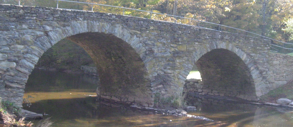
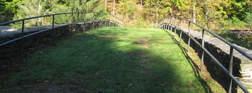
Crossing the bridge eastward, which actually was original NY 52 WB. The other things the sign says are that this route helped settle the Callicoon Valley, and there was a hex murder (German-American killing to end a curse by a suspected witch) on this bridge in 1882, one of the only ones in the Upper Delaware Valley. So, come back at midnight and see what you can see, hear what you can hear.
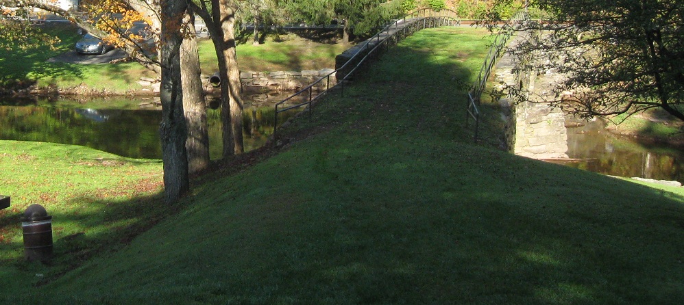
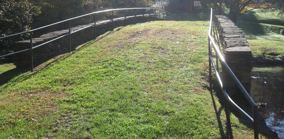
Back west (NY 52 EB) across the bridge. From here "west", NY 52 runs mainly north-south, hence the directional ambiguity.
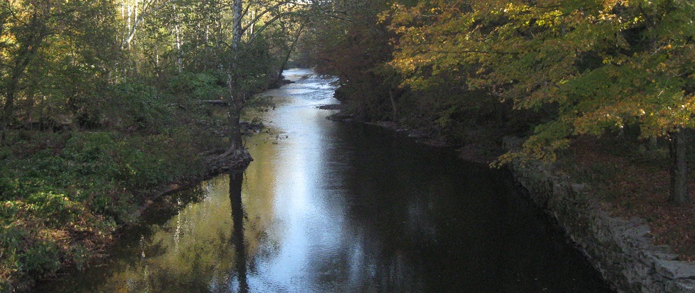
Looking north along Callicoon Creek.
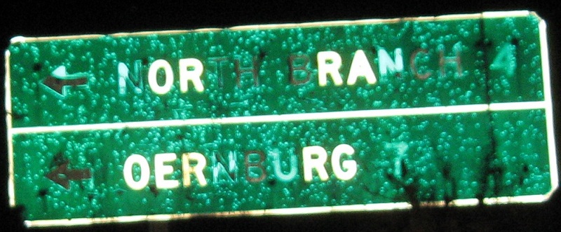
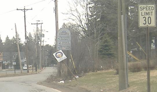
Moving on, EB from a typo in Jeffersonville (Obernburg has a second "B") to a delicious old reference marker near Liberty.
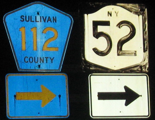
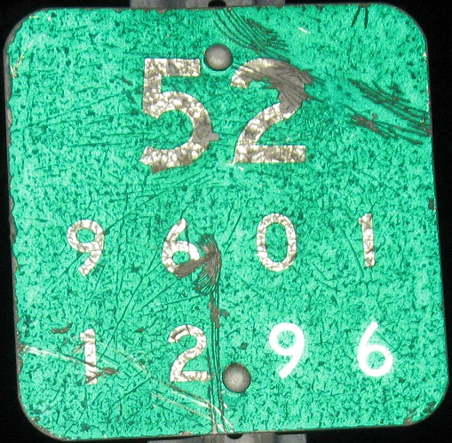
Another county issued state-initial shield, semi-old but not like the ones made by the state, courtesy Doug Kerr. That 52 is no spring chicken, either, and since 52 is state-maintained here (55 is a patchwork of county routes in Putnam County), it may be just as old as the "NY" shield next to it. NY 52 has just turned onto old NY 17, Main St. in Liberty.
Westbound at the same intersection (the duplex breaks up).
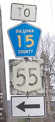
More old stuff eastbound on the short NY 52/NY 55 duplex in Liberty, which was also once NY 17 pre-freeway. The two routes get close to each other again on the east side of the Hudson River, but never meet.
WB on Main St. in Liberty, old NY 17/52 on the east side of town, once paved in concrete.
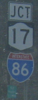 Premature upgrade, EB at NY 17, which will become I-86 someday but still needs various upgrades.
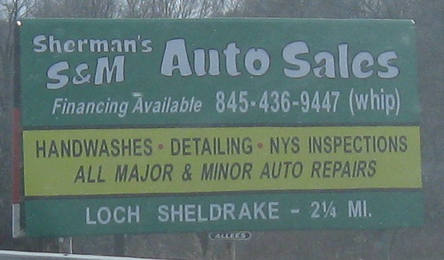
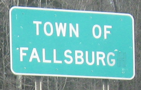
Both EB, both amusing, in different ways. I'd like my S&M with a handwash, please. Very few American places end in "burgh" instead of "burg", and states should know which places those are.
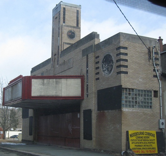
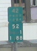
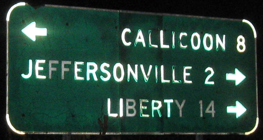
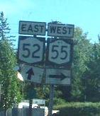
Continuing east into Woodbourne. It's very rare for two routes to be referenced together on LGS; usually one is dominant on a concurrency.
Continue east on NY 52
Onto former NY 17 alone
Back to NY 52 main page
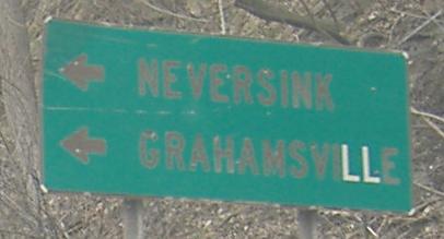
To NY 97
Onto NY 17B
Onto NY 52A
Onto NY 55
Onto NY 17
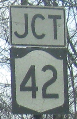
Onto NY 42
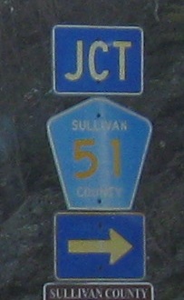
Into Sullivan County
Back to New York Roads
Back to Roads