New York Roads - NY 213 (and NY 32) E. of Tillson
 east of Tillson
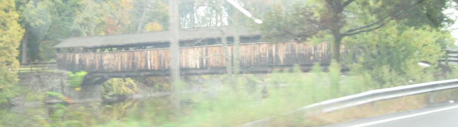
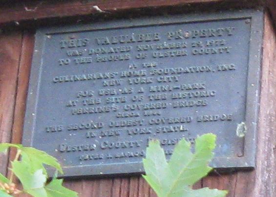
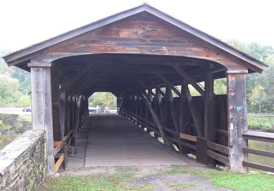
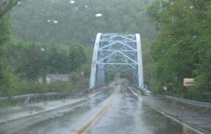
After leaving the western NY 32 multiplex, NY 213 comes rather suddenly upon Perrine's Bridge, where a few participants in the October 3, 2009 Highland Road Meet (see link at bottom) spent some time prior to the meet. This page will spend some time there as well.
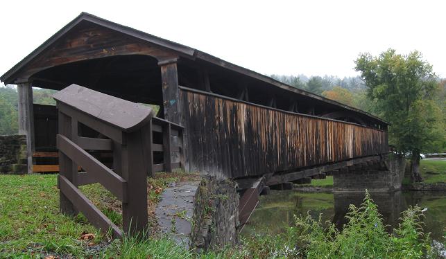
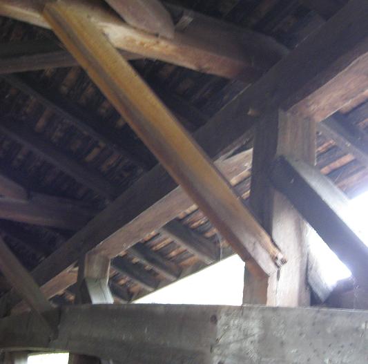
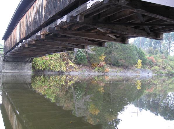
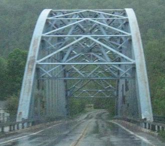
Some of the more artistic views of Perrine's Bridge, taken from the north side.
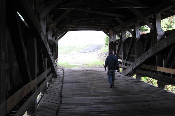
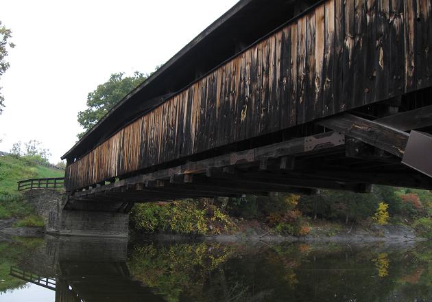
I think this is the most artistic view of all of them. Credit Doug Kerr for allowing you to add your own meaning to the photo (it's my photo, but that's him walking).
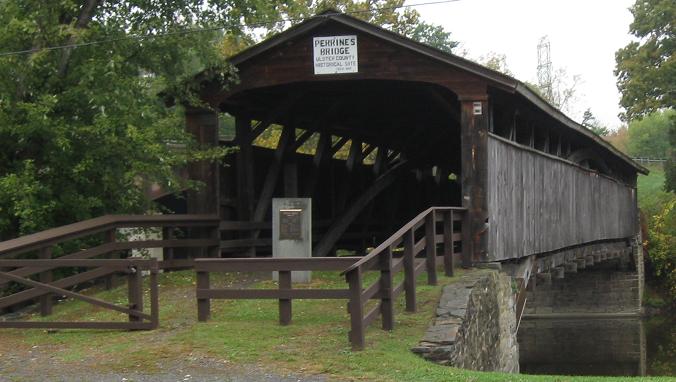
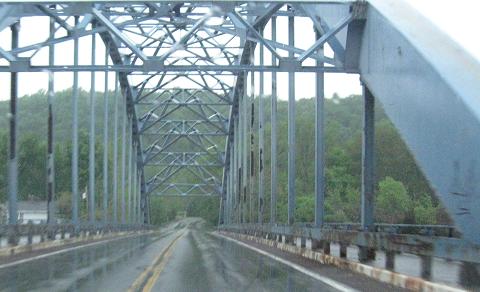
Walking up to the more tourist-friendly southern side of the bridge along NY 213 WB.
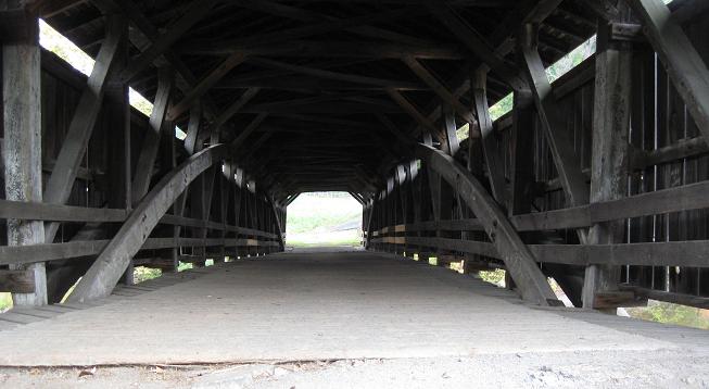
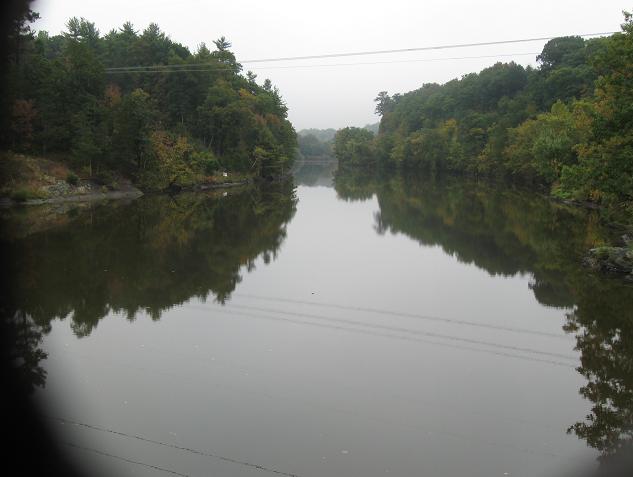
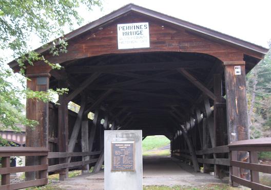
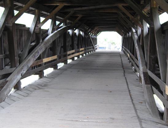
Now onto the bridge and then looking east through a convenient hole at the Wallkill River.
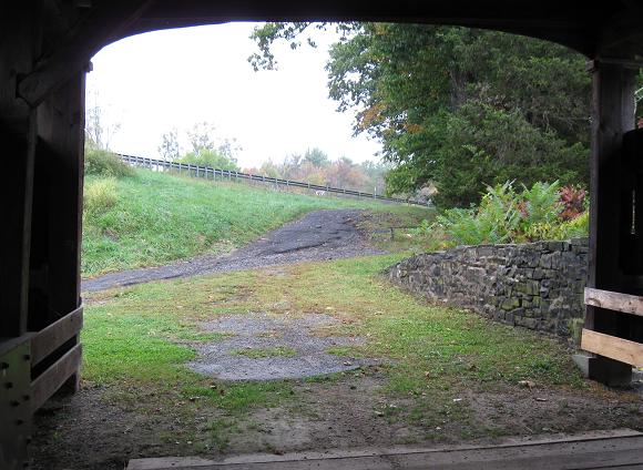
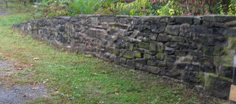
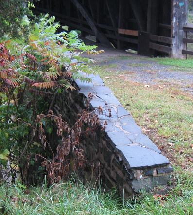
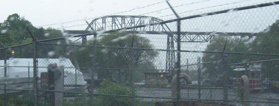
Exiting the bridge, there's an original stone wall to the east and the modern New York Thruway (I-87) to the north. Click on the Thruway to see its own Wallkill River bridge just to the west.
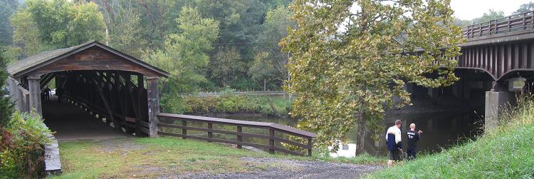
Returning to the bridge from the north shore, and throwing out a hint of what the I-87 bridge looks like.
Two last SB views.
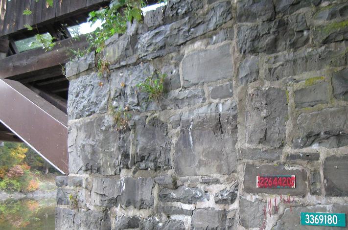
As I leave Perrine's Bridge, one final question: Assuming the crossed-out bridge inventory marker has the wrong number, why was it ever applied to this bridge, and why was it not removed?
NB crossing the Rondout Creek into Kingston. Ulster CR 25 WB is along for the ride.
The railroad to the east crosses the same creek, but at a much higher elevation. There may be a port between the two bridges (there are definitely some boat launches), or it just may be a geographical consideration.
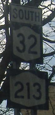
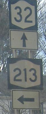
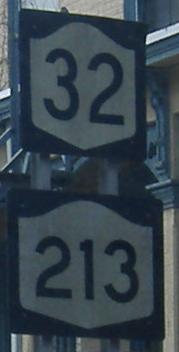
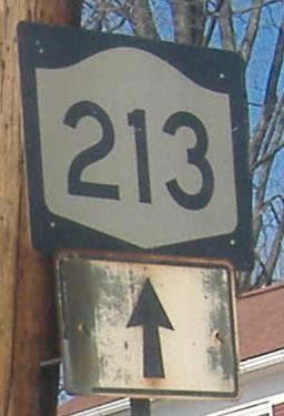
Insert the first photo at the top of the page between the first two here; all are from Henry St. SB. When NY 32 turns onto Henry Street in Kingston, it magically sparks NY 213, instead of 213 beginning at the end of the duplex in the last photo. 213 comes back to 32 once more before finally striking off to the west. (Until then, if you're directionally savvy, you'll see 213 hangs out to the east of 32.) NY 213 is ostensibly an E-W route, meaning the first photo is lacking a WEST banner. It's hard to tell in Kingston.
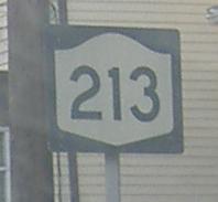
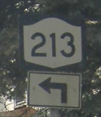
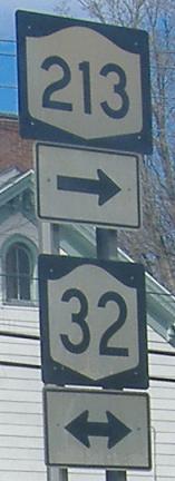
Continue past the second photo at the top of the page (still southbound, now on Clinton Ave.), and then for the final photo, look straight down Clinton where NY 213 turns onto Greenkill Ave. I seem to recall that there were indeed railroad tracks here, but aerial photos suggest they have been torn up for the most part. Ah well, the sign is plenty old enough to have been frmo when the tracks were in service.
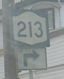
Turned back around north on Clinton Ave. at Henry St.
Onto NY 32 alone
Continue west on NY 213 and 32/213
Back to NY 213 main page
Into Ulster County
The October 2009 Highland Road Meet
Back to NY Roads
Back to Roads