New York Roads - NY 17/I-86 - E. of Binghamton
NY 17, NY 17/I-86 east of Binghamton
NY 17/I-86: Quickway
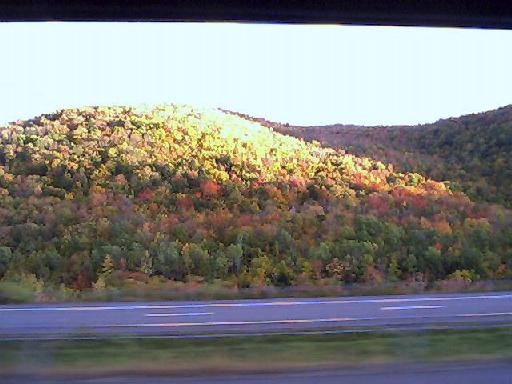
NY 17 is one of the most beautiful freeways anywhere, especially during a New York autumn.
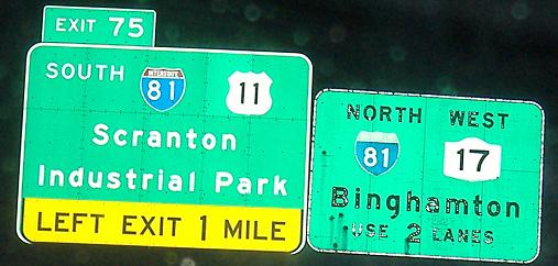
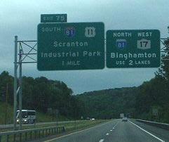
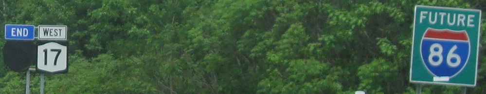
Just about at the western end of the Quickway. While NY 17 (and now I-86) continues straight to I-81, the Quickway exits left, running down to US 11 where NY 17 originally came into Binghamton multiplexed (and on the surface).
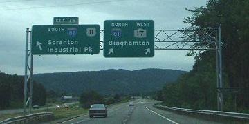
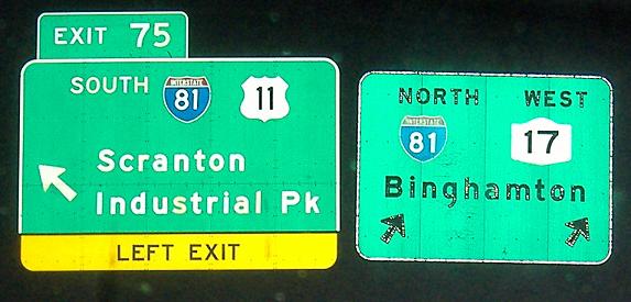
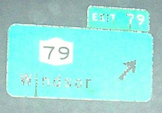
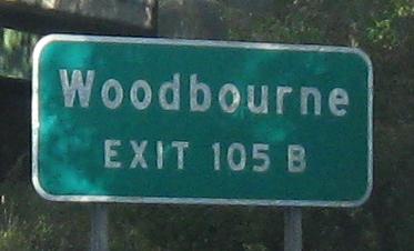
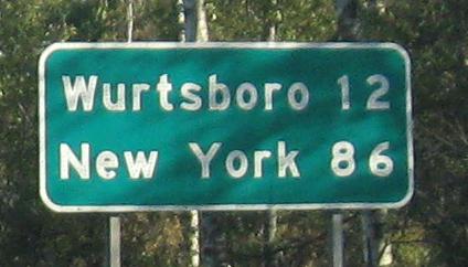
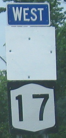
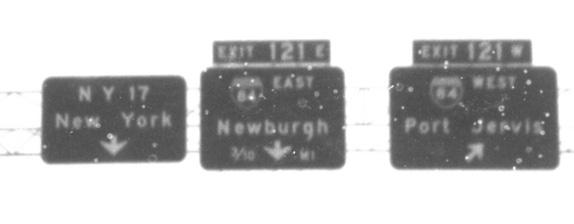
Older versions of these same assemblies courtesy Doug Kerr; the signs on the left have changed.
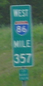
Eastbound (mine and at night) and westbound (Doug Kerr's and easier to see), covered I-86 shields near Binghamton that should be coming down now.
Button-copy coincidence, eastbound just east of Binghamton.
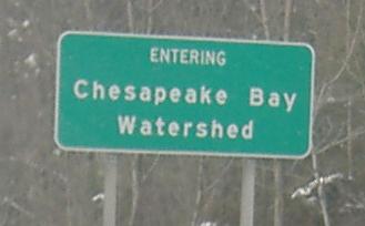
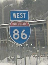
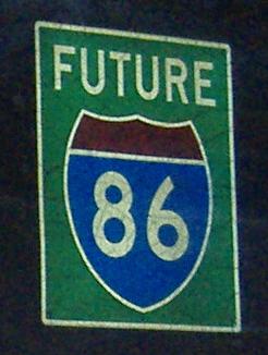
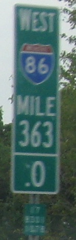
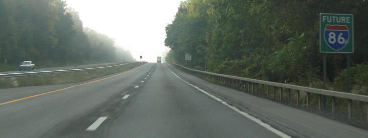
Some more westbound button copy; the first sign isn't, but it's interesting to see the Chesapeake Bay in New York (the sign is for the Susquehanna River watershed). The blue sign also isn't button copy, but it's much older than it should be. Finally, the I-86 shield is by no means old, but what's to be noted is the lack of accompanying NY 17 shield. This is undoubtedly preparation for the eventual changeover.
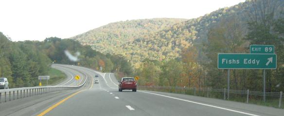
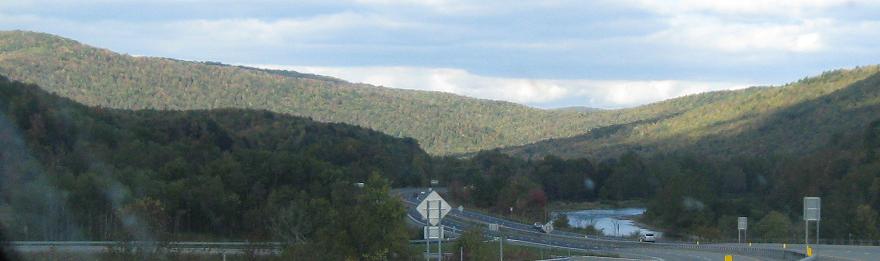
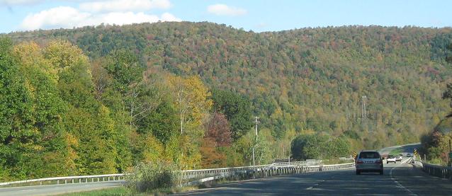
That beauty I was talking about on the main page, eastbound during peak fall colors.
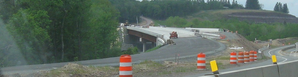

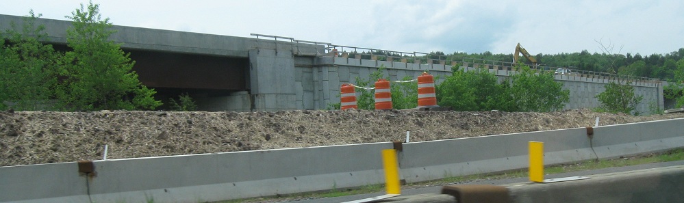
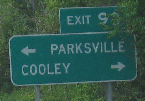
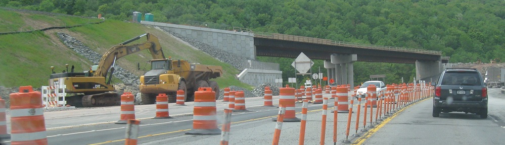
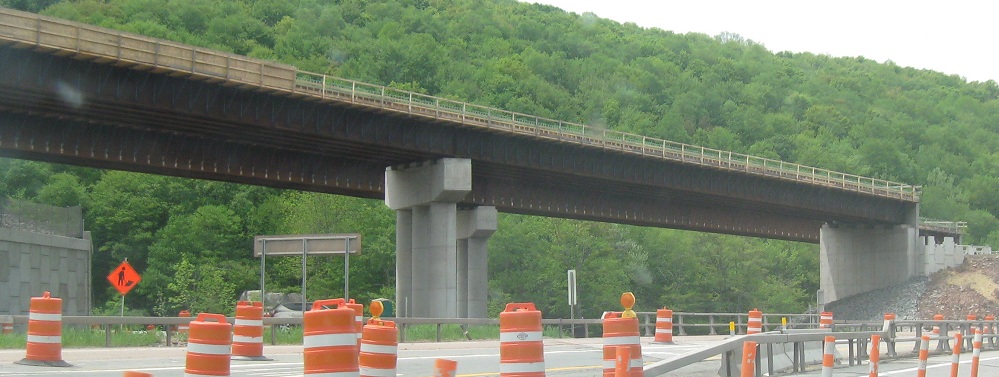
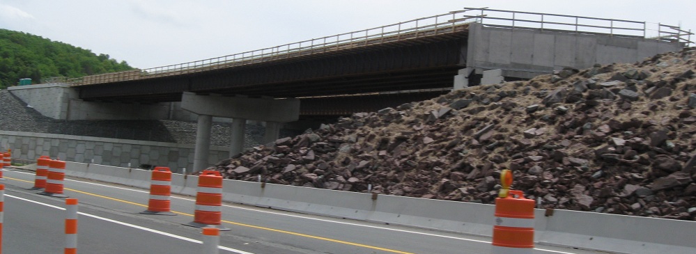
Westbound through 2011 construction to eliminate one of the last at-grade intersections on NY 17, creating the Parksville Bypass. Now open, it will be incorporated into I-86. During construction, both directions of NY 17 were crammed into the former WB lanes.
EB views at the west end of the bypass.
A bunch of westbound button copy, courtesy Doug Kerr.
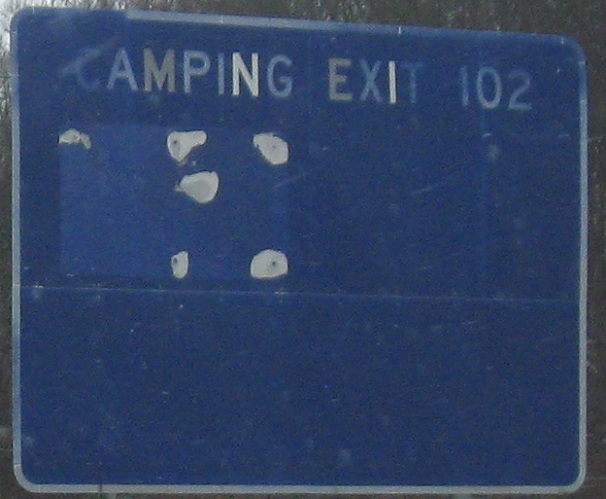
Westbound between those, including the only button copy sign in that run left as of winter 2006.
Eastbound button copy still around in 2008. Click the last photo to see it lit up at night.
There was more button copy in the 1970's. These Michael Summa photos were taken westbound in 1976 and 1974, respectively.
To show how far signage has come (or fallen) since then, these are WB modern day photos. The I-86 milemarkers and covered signs will eventually be correct, but they don't belong on the road until the conversion in a few years. Then again, who's going to post miniature NY 17 shields every mile just for aesthetics? How about not putting any shield on the markers? The last photo is at the end of the Exit 119 ramp for NY 302, and I believe is only intended for contractors to access a particular work zone or haul site. What if there were traffic and I tried to follow it as a detour? (If it's actually a detour, it's very poorly done.)
More of Michael's photos in the eastbound direction, first photo probably 1974, other photos taken in 1976. You won't see anything like the second photo now because it's been converted to a single exit - old Exit 124A was too close to the Exit 123 on-ramp (US 6 EB leaving NY 17M). You also won't see anything like the third photo because US 6 now leaves as a Super-2 expressway at new Exit 130A - you can tell the exit's new because it doesn't fit into the sequential numbering scheme.
EB in the Chester area.
NY 17: Orange Turnpike
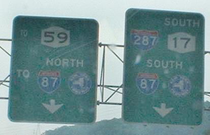
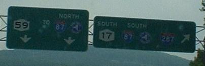
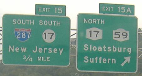
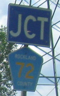
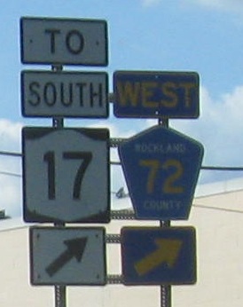
These dark photos are where NY 17 now joins I-87 for a brief multiplex. Exit 15A, which is a NB-NB/SB-SB slip ramp pair carrying NY 17, is a fairly new creation. Until recently, the only ramps not dealing with the NJ 17 interchange (i.e. what is now I-287) were a SB off-on heading down to the Hillburn Bypass, and there were enough ramps around the now-287 area to compensate for the additional movements. NJ-NY 17 simply wound around onto the four-lane bypass, never really touching the Thruway but crossing it twice with that aforementioned ramp pair. Now, the NB-NB off movement allows a right turn onto NY 59 EB, and there's a NB on at the same location. NY 59 was extended over old NY 17 to meet the current brief expressway at this point, and the Bypass may have been downloaded to the county or even to Hillburn.
One side will make you grow bigger... the other will make you grow smaller...
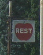
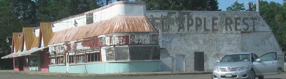
One side of what? The other side of what? The apple, of course! Well, maybe no longer. All four of these photos have been NB.
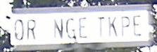
Look carefully: ORANGE TKPE. Think. Turnpike... Trnpke... Tpke. This dyslexia manifests itself throughout Sloatsburg (as you can see).
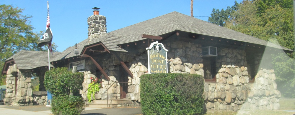
Continuing NB into another county with an old post office in Tuxedo Park.
NY 17M begins to the left, and if you couldn't tell, that's the original route of NY 17. 17 NB now continues straight, which was once the beginning of NY 32, and turns onto the Quickway, where 32 now begins. Long ago, 17 used Main St. in Harriman one block north of NY 17M, and 32 used River Rd.
Onto I-81 and the 81/NY 17/(I-86) multiplex
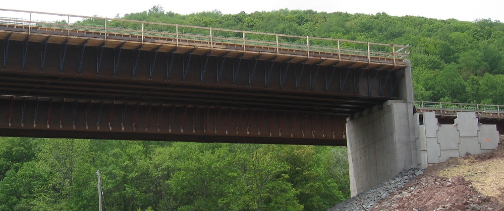
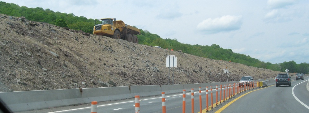
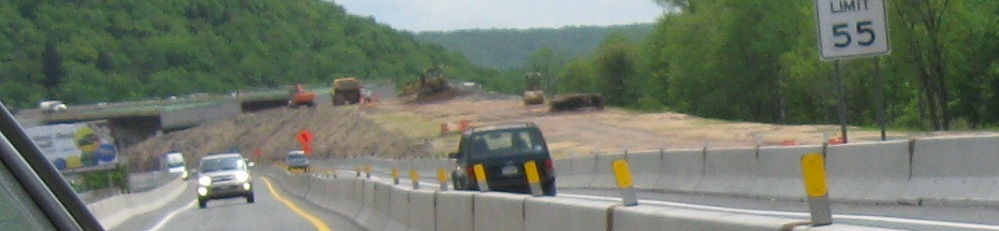
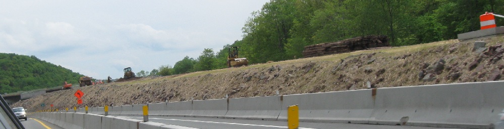
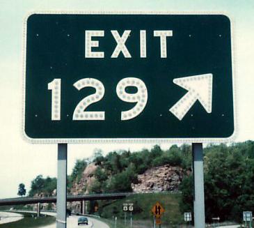
NY 17/I-81/I-86 construction
West to the Southern Tier Expwy. (I-86/NY 17)
Back to NY 17/I-86 main page
Onto NY 17M (old NY 17)
Onto US 11
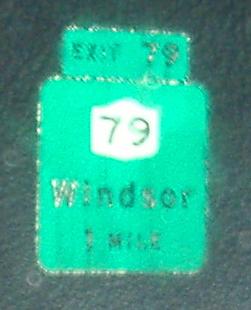
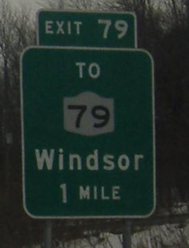
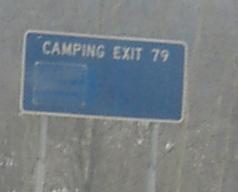
Exit 79 to NY 79
To NY 10
To NY 8
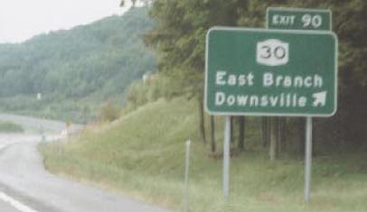
Exit 90 to NY 30
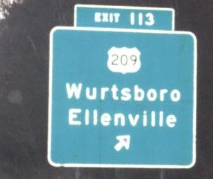
Exit 113 to US 209
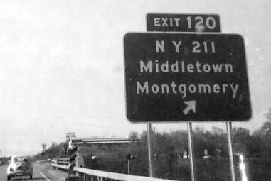
Exit 120 to NY 211
Exit 121 to I-84
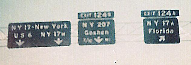
Exit 124 (A) to NY 17A
Exit 124 (B) to NY 207
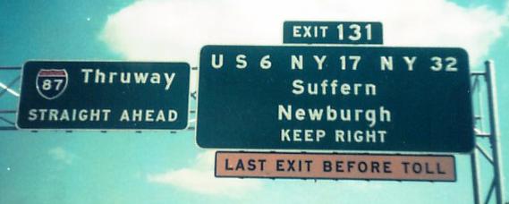
Exit 131 to US 6
Exit 131 to NY 32
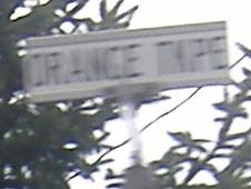
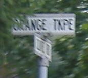
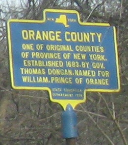
From Orange Tpk. (or Tkpe.) into Orange County
Onto I-87
Onto I-287
Onto NY 59
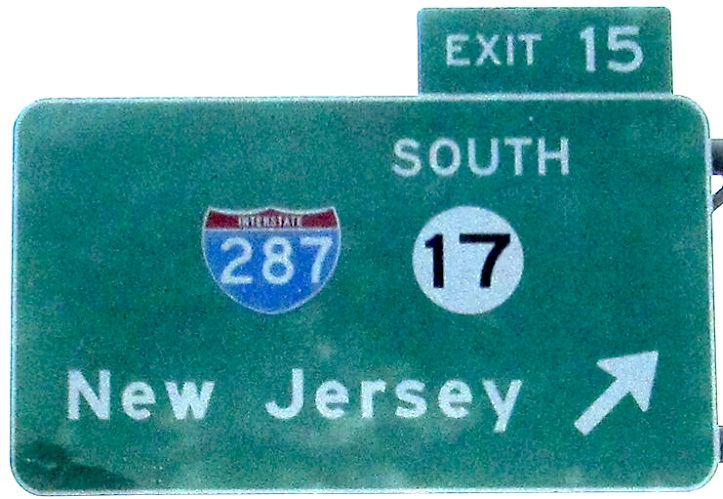
Into New Jersey on 17
The Quickway on Steve Anderson's nycroads.com
Back to New York Roads
Back to Roads