New York Roads - Long Island Motor Pkwy. - Nassau Co. - Salisbury/Levittown
Long Island Motor Parkway
Nassau County - Salisbury and Levittown
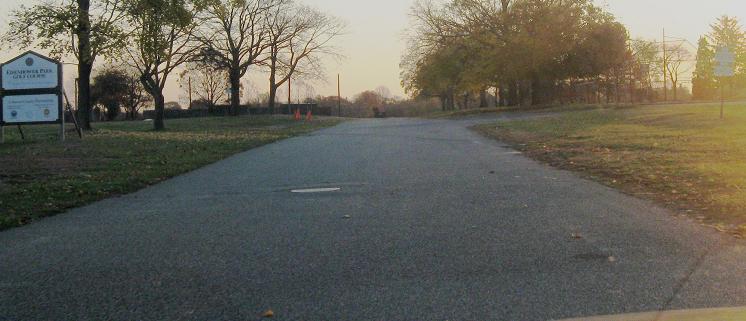
In Garden City, the Parkway transitions into parking lot roadways in the Roosevelt Field mall. If you enter from Stewart Ave., once you curve right you will be on the old alignment, so head straight as long as you can and make a left when the road starts to curve to the right. Once that little street ends, just head back to Stewart, because the right of way gets absorbed by Meadowbrook State Parkway. It then follows Stewart Ave. until Merrick Ave., where it heads straight back into Eisenhower Park and peters out in a field. Just cross Merrick on Stewart, make the immediate right into the driveway, curve left and keep going. Across the golf course, it picks up on the south side of Salisbury Park Drive, although the path has been completely remodeled since the Parkway days. Keep going straight until you get to Orchid Rd. and have to bear right from Carnation Rd. After running through subdivision backyards, the alignment starts to pop its head out north of Orchid Rd. and south of Woodcock Ln. and Blacksmith Rd. The Parkway follows Ciper Lane, crosses Jerusalem Ave., and dies out east of Parson Ln. (it follows a fence line visible from the air but invisible from the ground). While the next section to the east is linked below as Bethpage, don't even try connecting the two, because this is the least traceable Parkway section where even the property lines do not follow the old route.
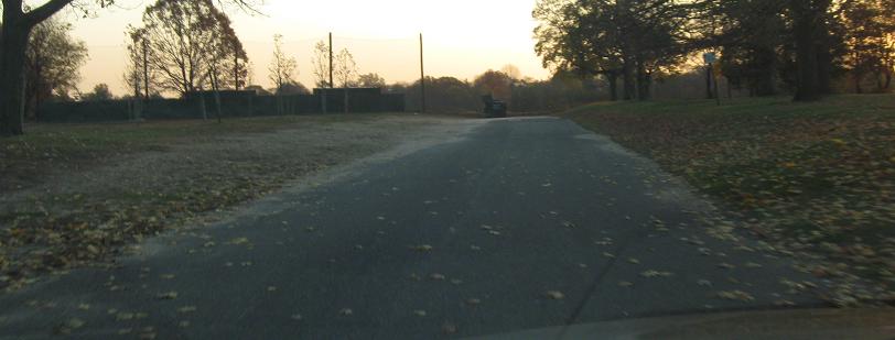
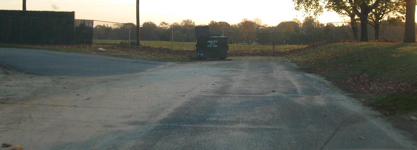
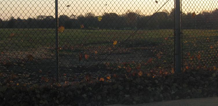
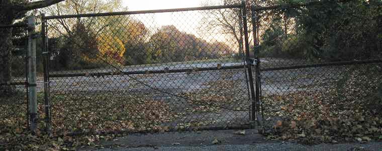
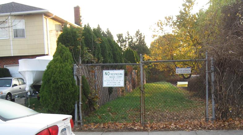
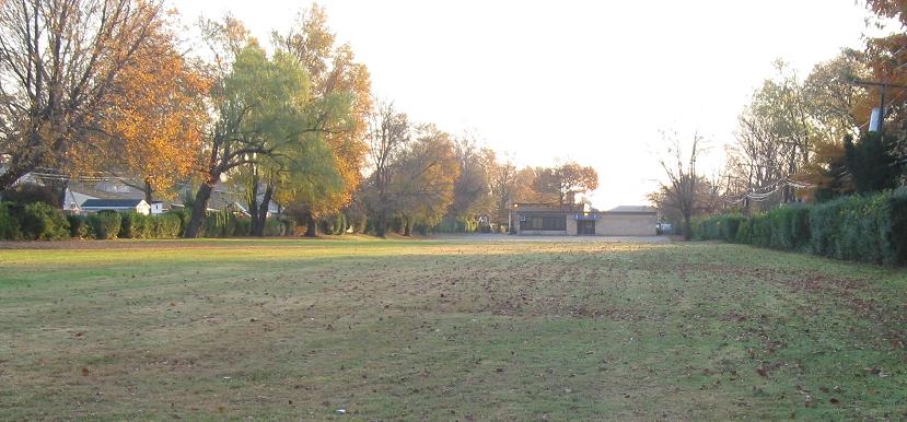
Tracing the old Parkway alignment into Eisenhower Park until it hits the baseball fields. Aerial photos hint that the alignment is traceable most of the way across the fields, but common sense and ground observation indicate that the sod covers all.
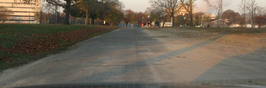
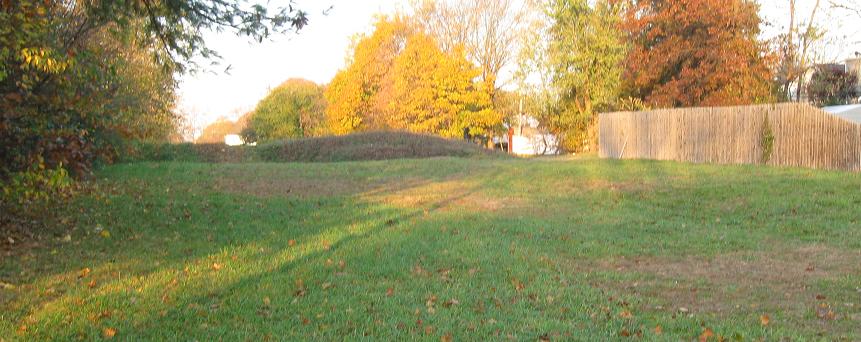
Facing west toward Stewart Ave. Notice how it's a straight shot to follow the Parkway alignment across Merrick Ave.
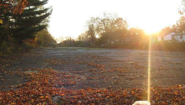
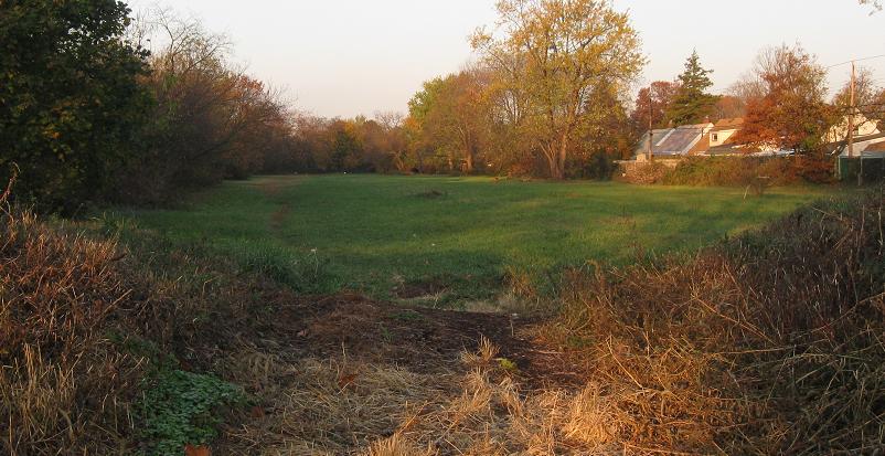
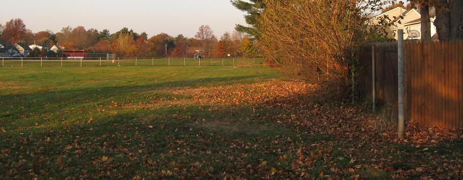
Now following the Parkway north of Orchid Rd., this faces east from Pintail Rd.
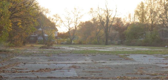
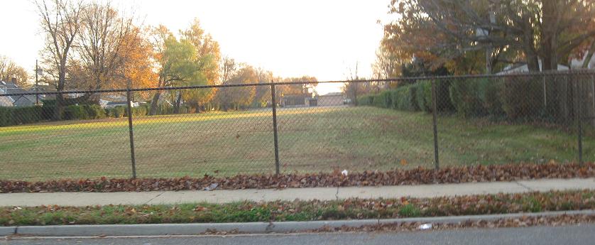
Looking west (first photo) and east (last two photos) from Heron Ln., the next cross street over.
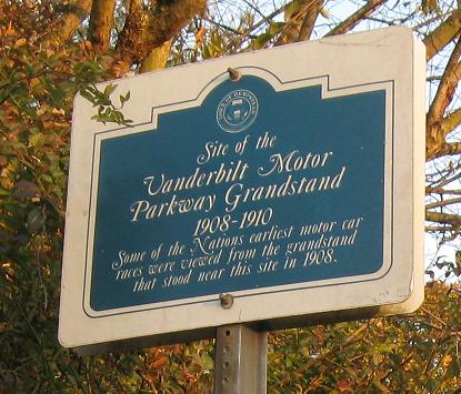
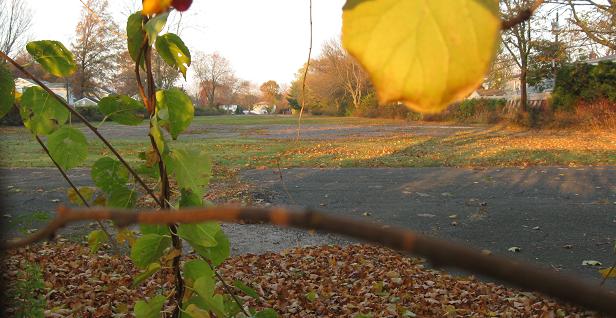
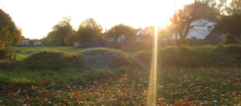
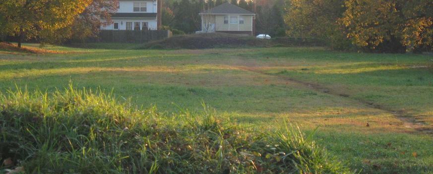
The grandstand sign is on Skimmer Lane just south of the Parkway, and you'll only find this famous landmark if you are religious about tracing the old alignment. The other photos look west and east from there; in the third photo, the yellow house is also part of the original right of way. As noted on the sign and explained on the Parkway main page (linked at bottom), the Parkway was only used for racing for three years until a devastating accident closed all New York roads to races.
One more street over, looking west (first photo) and east (last two photos) from Crocus Ln.
Jump eastward onto Blacksmith Rd., turn onto Parson Ln., and look west. It may just seem like fields, but the Parkway was right here along the fence. To the east, all you will see with your camera is a lot of trees and bushes. If you strike out and explore the field more thoroughly, you may find something worth photographing, but I don't think there are any Parkway relics left here besides the right of way.
West to Garden City
East to Bethpage
The Parkway in Nassau County
Back to the Parkway main page
Back to NY Roads
Back to Roads