New York Roads - I-87 - NY Thruway
I-87, New York Thruway
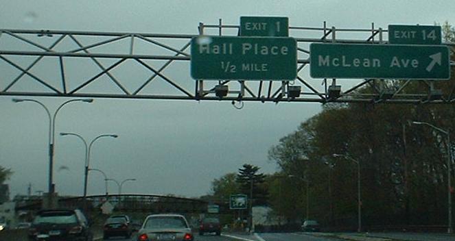
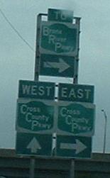
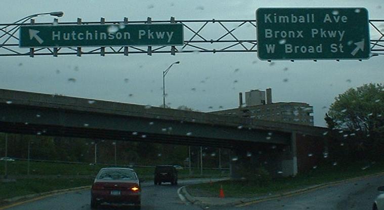
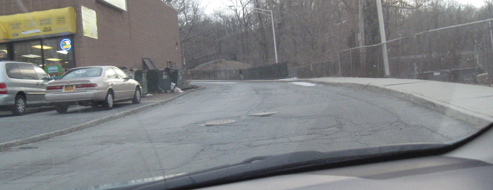
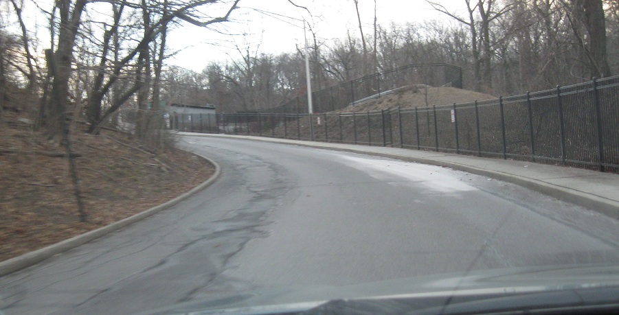
The first photo marks the end of the Major Deegan Expwy. and beginning of the Thruway. The second and third pictures are from the NB service road at Exit 4 (Cross County Parkway) - for some reason, NYSDOT likes forcing Westchester County interchanges to involve service roads (another example is the Hutchinson River Parkway at I-287). The third photo is on the EB CCP ramp - note how neither direction actually takes you to the highway. Well, in actuality, the left ramp is for the CCP, but you can only get to NY 22 and two other exits before running into the Hutch. The right ramp serves Exits 5-7 via the CCP's EB C-D road, including the Bronx (RIVER) Parkway.
The sign for the Exit 4 onramp from the service road, onto which you merged if you came from the Cross County.
This just looks like a nondescript driveway, and that's all it is now, off of Tuckahoe Rd. east of I-87 Exit 6. Exit 6 is a six-ramp parclo missing a WB-SB loop and NB-EB finger ramp, which are symmetrical movements, so one might figure that there's just not a lot of traffic between those directions. Still, it's a little odd to have a loop ramp without an outside finger. So, put two and two together, and come up with the four that I'm traveling back up toward the Thruway on a reasonably wide, well-graded driveway with state-spec light poles - in other words, the missing NB ramp to Tuckahoe Rd. EB. But as far as I know, there was never a plan to provide a WB-SB direct ramp.
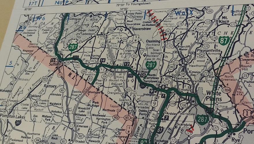
As shown in this NYS Highway Condition Map, I-87 was originally supposed to jog the other way along I-287 and follow I-684 instead of the Thruway. It would then have headed back west on I-84 to rejoin the Thruway, a circuitous route just to save a little on tolls. This was born out of the cancellation of the full Hudson River freeway (partially marked in red, which became the US 9 freeway through Croton-on-Hudson), originally intended to continue north from the I-87/287 junction. After I-87 was rerouted onto 684 (and this was signed in the 1960s), the riverfront proposal briefly lived on as I-487.
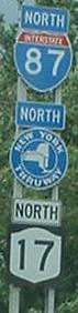
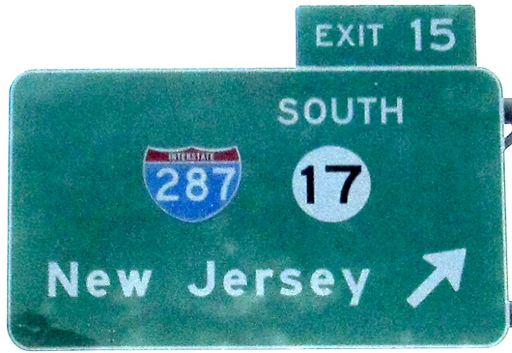
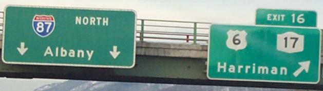
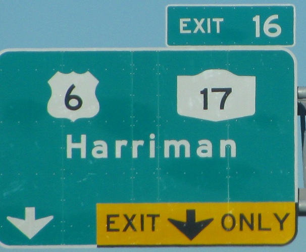
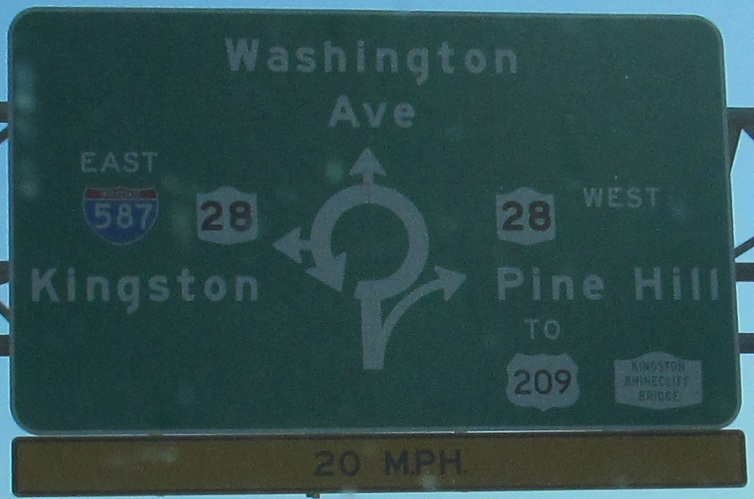
Skipping the I-287 concurrency, which gets its own page (see the big link at bottom), here is signage from the brief I-87/NY 17 multiplex between Exits 15 and 15A, along with a spiffy Thruway shield. Follow the NY 17 link at the bottom of the page to see why I say this multiplex is a new development.
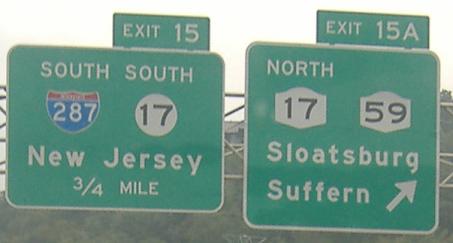
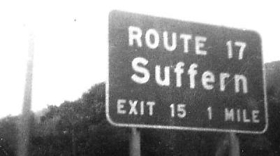
The other direction of the multiplex; the exit for NY 17 North is in fact on NY 17 South, unfortunately very shortly after a high-speed high-volume merge between 17 and I-87. Exit 15A touches down at the Hillburn Bypass, former NY 17 (visit that page at the links below for more). New York tried its hand at a New Jersey shield here, and while they got the circle right, not only did they forget the background (forgivable and now obsolete) but they used their own Series E numerals inside (not as forgivable).
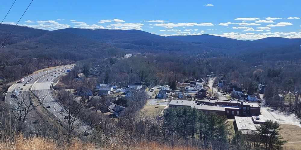
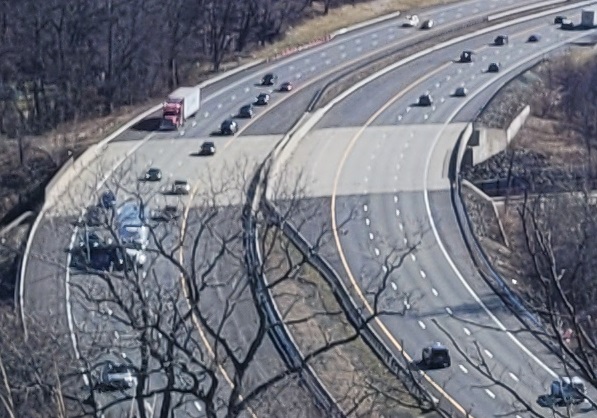
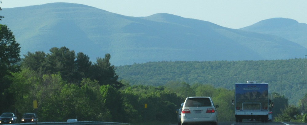
Looking south from Sleater Hill affords a panorama of the Thruway approaching NY 17 and I-287. The bridge in the foreground is over Seven Lakes Drive, and I zoom in here to show you that the Thruway appears to be designed for a future widening to 4 lanes each way. First it'll need to be 3 lanes each way north of the next exit.
One sign that slipped through the cracks, at least for a few years. Courtesy HNTB.
I wish all of these slipped through the cracks. Instead, we're stuck with a malformed "6" and NY shield shape on every advance sign, not to mention other elements of poor design and inconsistency between signs. All but the first photo are courtesy Greg Faulkner.
The original style of Thruway advance signage, seen in the first photo possibly in 1973 and NB, and then definitely in 1977 with unknown direction, both courtesy Michael Summa.
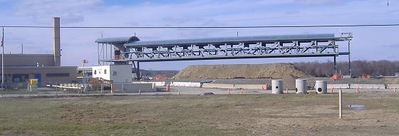
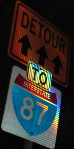
The future high-speed E-ZPass gantry above the future Exit 17 trumpet interchange that will directly connect I-87 and I-84, instead of using NY 300 as an intermediary. There are plenty more interchange construction photos from the October 2009 Highland road meet, which you can see via the big link below.
Is that... Clearview? Kill it with fire! NB.
This original Thruway sign at the southern end of the Perrine Covered Bridge on NY 213 warns people not to walk up onto the road. So instead, we walked down under it:
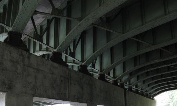
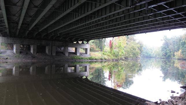
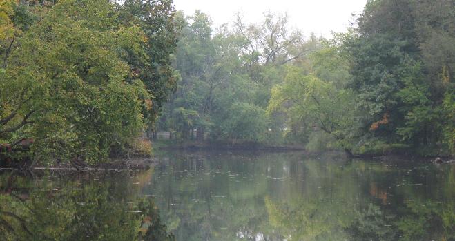
Views underneath the bridge to the east and west along the Wallkill River.
NB scenery and a wacky assortment of shields on the combined Exit 19 ramp.
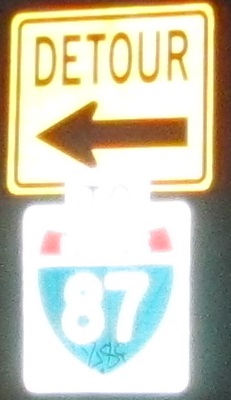
NB absurdity and an assortment of wacky shields on Greenkill Ave. in Kingston, with the detour following Clinton Ave.
SB on the Thruway, courtesy Doug Kerr.
Former SB Thruway sign somewhere south of Albany, courtesy John Krakoff.
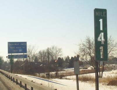
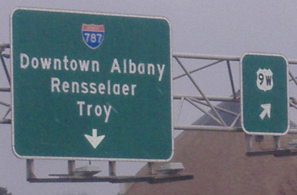
The only cutout milepost I or Doug Kerr know of (he took this photo), SB just south of I-787.
Non-reflective button copy past the tollbooth on Exit 23, the only remnant of such signage that I know of still on the Thruway. Take a close look at the "a"s, and then scroll up and look at some other signs - this is a genuine button-copy sign goof using the wrong style of lower-case letter.
I-87/287, NY Thruway and Tappan Zee Bridge
Continue north on I-87 to the Northway
Continue south on I-87 to the Major Deegan Expwy.
I-84/87/NY 300 interchange construction
Old Exit 20 on Ulster CR 34
Back to the I-87 main page
Exit 4 to Cross County Parkway
Exit 4 to Bronx River Parkway
Exit 4 to Hutchinson (River) Parkway
Exit 15 to I-287 in NJ
Exit 15 to NJ 17
Exit 15A or 16 to NY 17
Exit 15A to NY 59
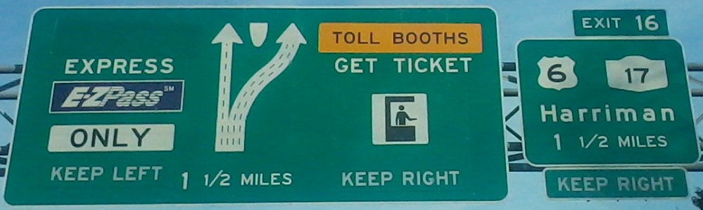
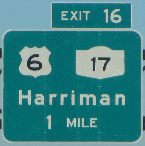
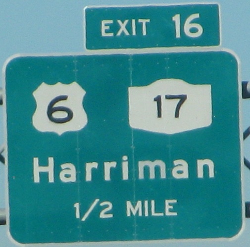
Exit 16 to US 6
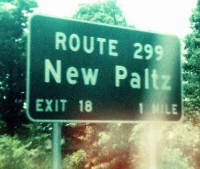
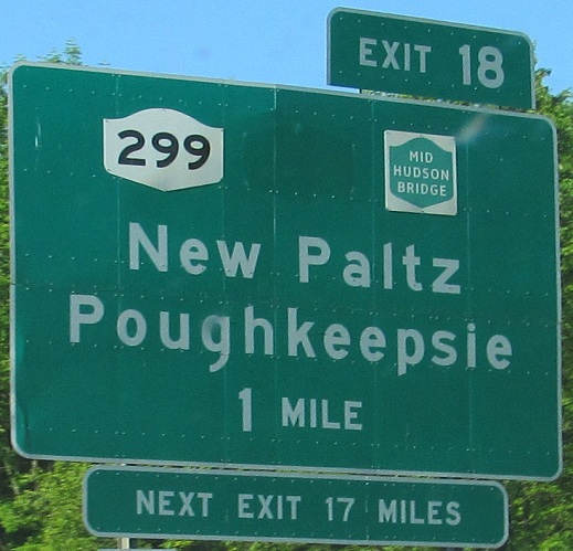
Exit 18 to NY 299
Exit 18 to the Mid-Hudson Bridge
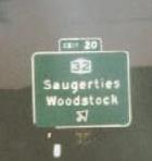
Exit 20 to NY 32
Exit 23 to I-787
Exit 23 to US 9W
Follow the NY Thruway to I-90
The NY State Thruway on Steve Anderson's nycroads.com
Back to New York Roads
Back to Roads