New York Roads - I-87/I-287
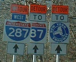
OW OW OW MAKE IT STOP MOMMY
Much better. Well, it could use an I-87 shield, but this assembly, photographed in the 1970's by Michael Summa, could date as far back as 1960, and I-87 followed I-684 between I-287 and I-84 until 1970. The old bits include the Thruway shield with its Art Deco letters, the rounded 3-digit Interstate shield, and the small directional banners.

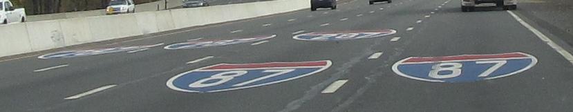
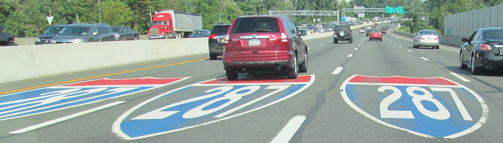
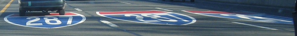
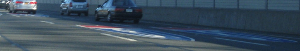
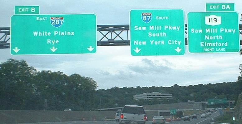
New SB/EB signage and pavement markings to reinforce the new I-287/I-87 split, with 287 now leaving as three lanes from the left instead of two from the right. Also a consequence of the reconfiguration is that the Saw Mill River Parkway exit that was on the I-287 mainline is now on I-87 just south of 287, and runs along 287 separated by a barrier before departing onto the old ramp.
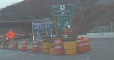
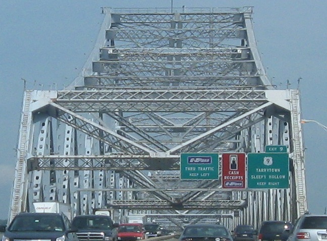
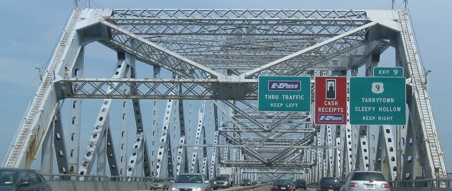
Restriping and resurfacing work was ongoing SB just past the Tappan Zee tollbooths for quite some time; it's done now, and the work just east of US 9/Exit 9 (a rare coincidence) on the I-87/I-287 interchange is almost done as well.
Courtesy Doug Kerr, this is a pre-construction shot of overhead signage on I-87 SB/I-287 EB. With the reconfiguration of the I-287 interchange, it's probably just 3/4 miles away from the new ramp split, but it was replaced by the time the "I-8" interchange was completed.
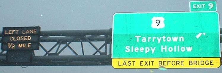
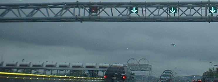
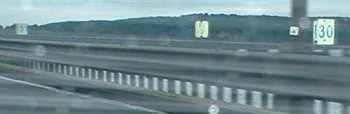
There are variable message devices on either side of the Tappan Zee Bridge to warn of left lane closure. The left lane is reversed to try to keep up with traffic flows via a zipper barrier.
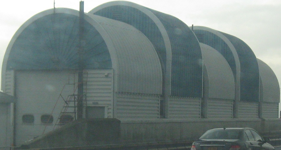
This structure houses the vehicle that moves the Tappan Zee zipper barrier when it's on the eastern side of the bridge.
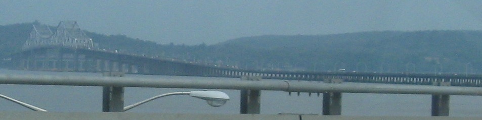
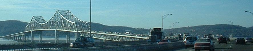
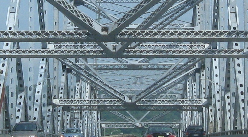
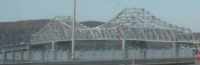
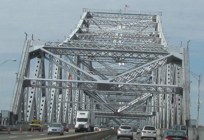
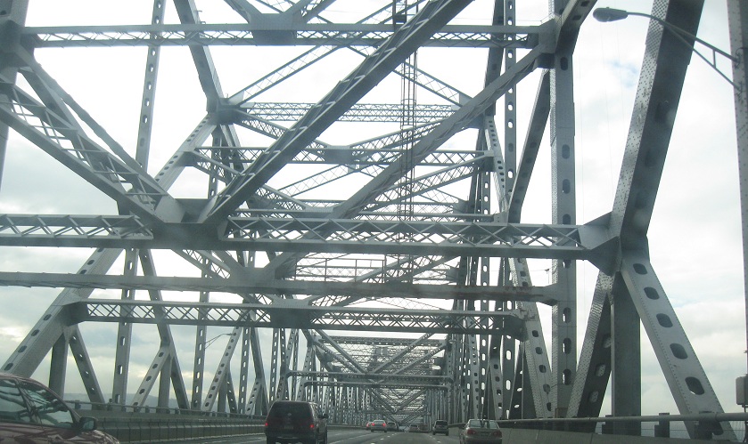
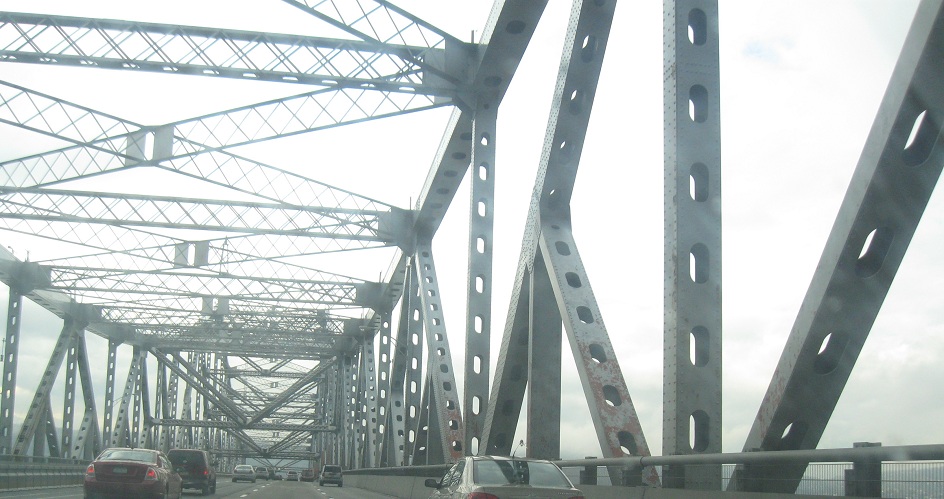
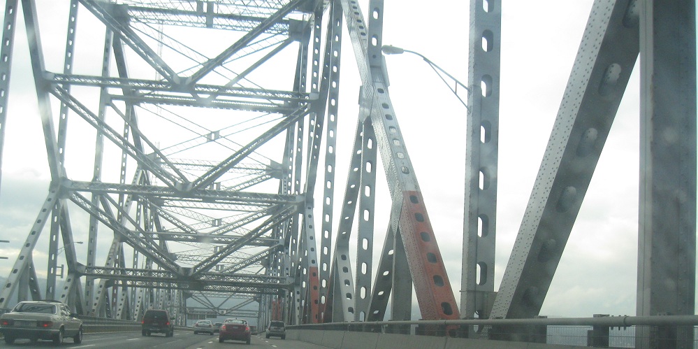
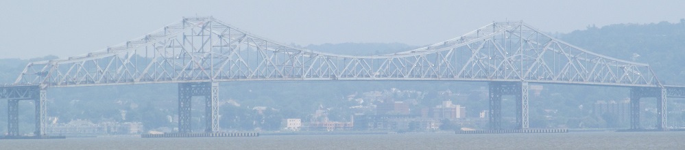
The beautiful, but aging, Tappan Zee Bridge, seen SB/EB. There are currently seven narrow lanes across it, where there were once six. Six even only fit with somewhat narrow shoulders, but now the lanes are horribly narrow as well. The bridge is under capacity and slowly falling apart - there are a number of proposals for a new span, including even a tunnel (though the western approach is already coming so far downhill I don't see how it could be anything other than a bridge-tunnel... and I doubt that'll happen). It needs at least eight lanes, maybe nine with the current zipper arrangement (extra rush-hour lane).
WHY ARE THESE SIGNS SHOUTING AT ME?
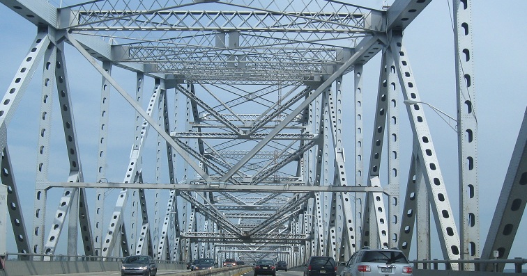
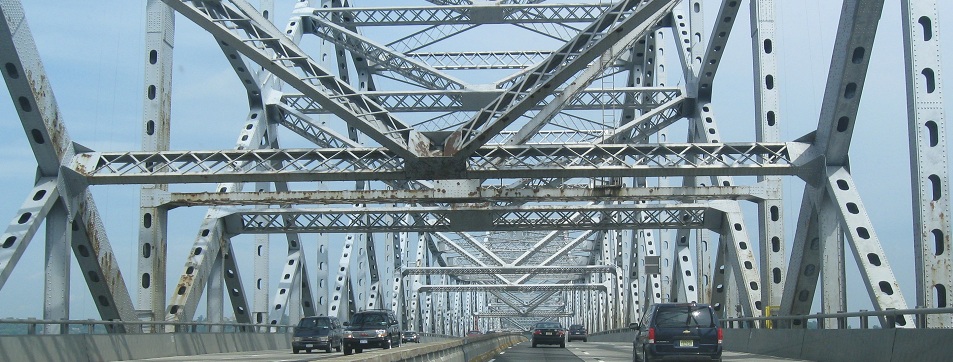
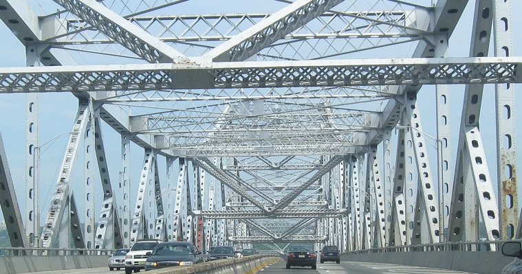
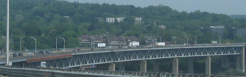
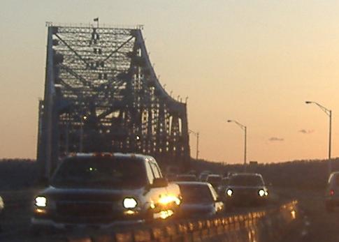
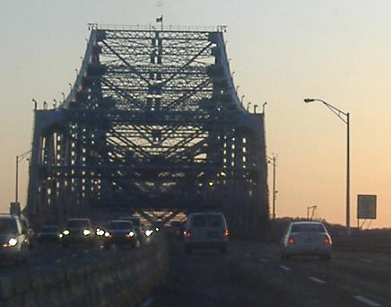
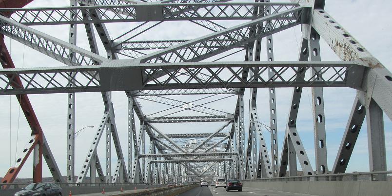
Finishing the set of SB/EB bridge photos.
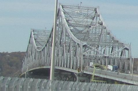
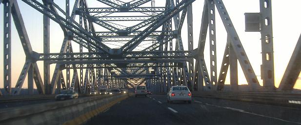
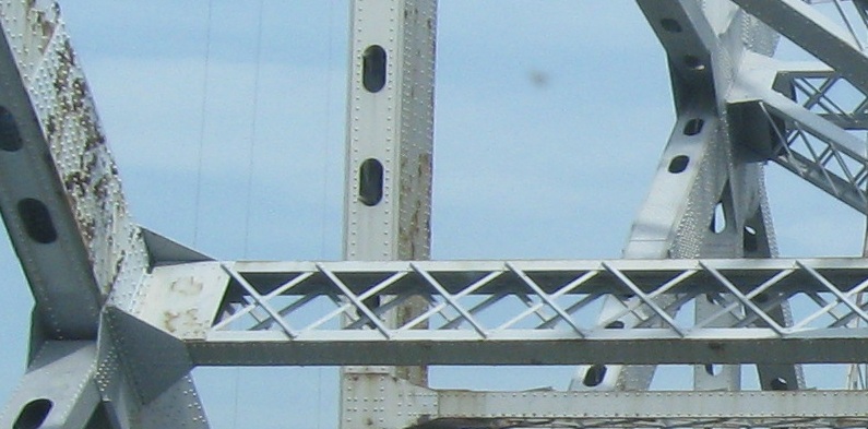
Nothing makes a utilitarian steel truss shine like the light of sunset.
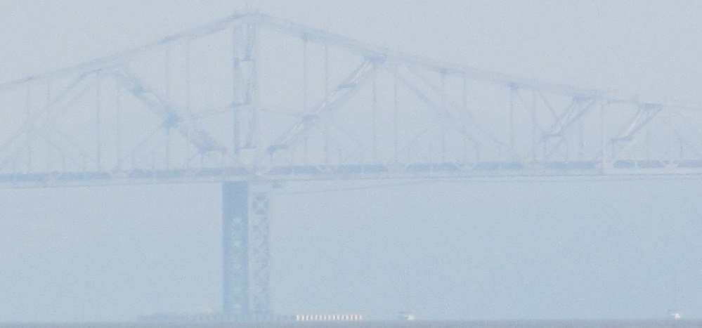
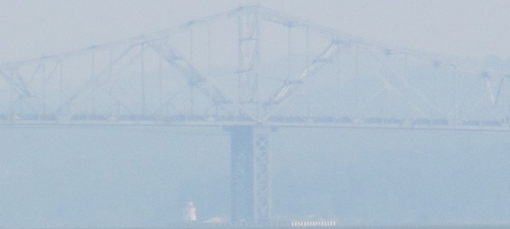
Nothing makes a utilitarian steel truss look ethereal like the morning mist from the Palisades. The last photo is a bit closer, in Nyack.
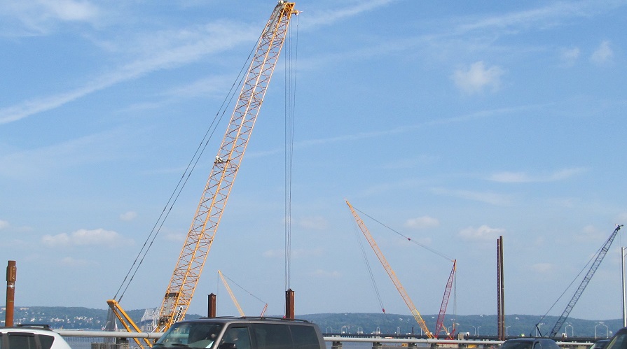
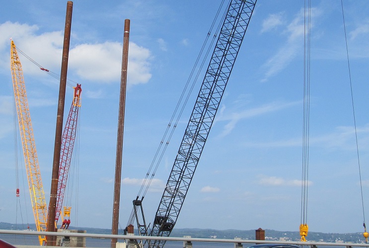
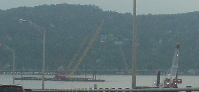
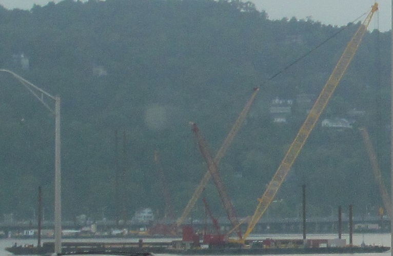
Construction on the replacement span (Governor Mario M. Cuomo Bridge, and don't forget the M) has begun north of the existing span, with not much to show in 2013. The first two photos were taken EB, the last two WB as the barges and cranes moved from pier to pier.
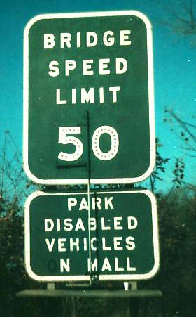
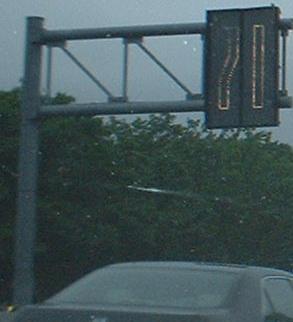
A look at the luminescent variable speed limits of the Tappan Zee Bridge, and another way to institute a variable speed limit, at least in 1977. It's reminiscent of the dark green speed limit signs on I-78/NJ Turnpike, but this sign has the nifty flip panel with the manual crank for awesomeness. Back then, the Tappan Zee was three lanes each way, and what's now the variable center lane next to the barrier used to be an open mall for disabled vehicles from either direction - basically a shared shoulder. Now, of course, there's no place to pull over, leading to dozens of minutes of delays when anyone breaks down. The second (NB/WB) photo is courtesy Michael Summa.
Different ways to pass the miles. The blue numerals in the foreground and the black in the background are old and new methods, respectively, of counting bridge supports. There are about 340 or so supports, which are a little less than one every hundredth of a mile along the stretch that skims the water. The white square near the center of the photo is a standard blue-on-white mileage tenths marker.
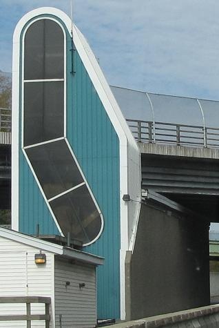
This structure houses the vehicle that moves the Tappan Zee zipper barrier when it's on the western side of the bridge.

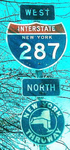
NYSDOT occasionally cuts blank green space out of its BGS's. This is a great way to reduce wind loads, but a bad way to tell traffic that this is also I-287 West.
Ever seen a non-cutout Thruway shield? This was my first, on Clinton Ave. WB at S. Franklin St. in Nyack.
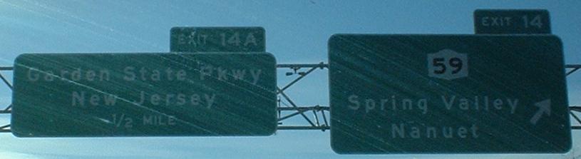
Approaching the northern end of the Garden State Parkway. Past here, there is a truck toll, and then a car ticket booth after I-287 and NY 17 (exits 15 and 15A).
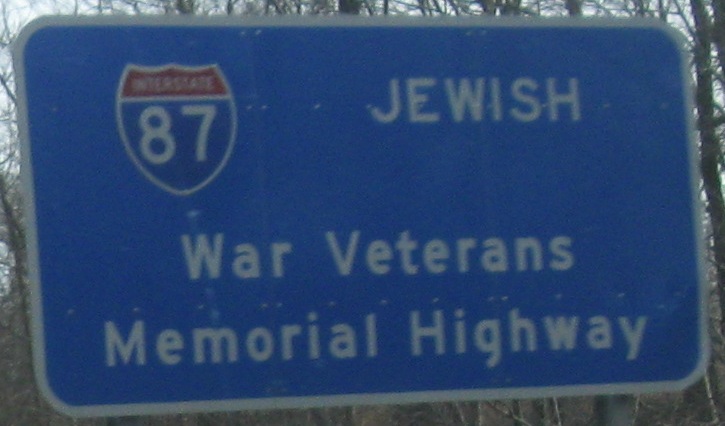
Both SB, with the second photo on the Exit 14B (Airmont Rd.) ramp. There's something vaguely inappropriate about the placement and typeface of the word "Jewish" on that sign. It should be left of "War Veterans." And it's definitely part of the sign, not an afterthought tacked on later.
Onto I-287 alone
Onto I-87 alone on the NY Thruway
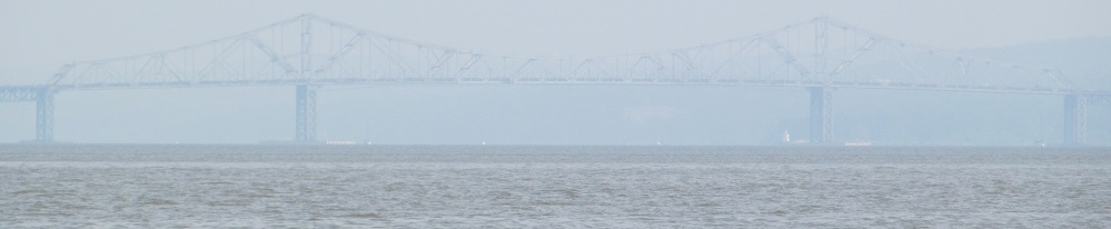
More Tappan Zee Bridge photos from Rockland CR 1
Back to the I-87 main page
To the Saw Mill River Parkway
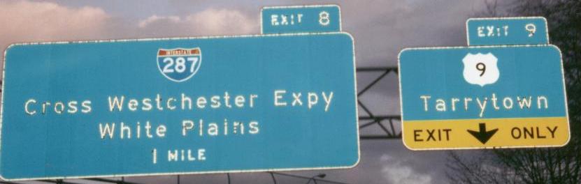
Exit 9 to US 9
Exit 10 to US 9W
Exit 14 to NY 59
Exit 14A, the Garden State Parkway Connector
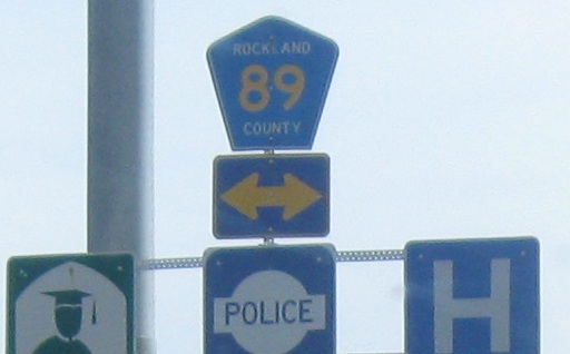
(Exit 14B) to CR 89
The NY State Thruway and Tappan Zee Bridge on Steve Anderson's nycroads.com
Back to NY Roads
Back to Roads