New York Roads - Suffolk CR 46/75, Ocean Pkwy. stubs
Suffolk CR 46, William Floyd Pkwy. and
CR 75, proposed Ocean Pkwy. extension
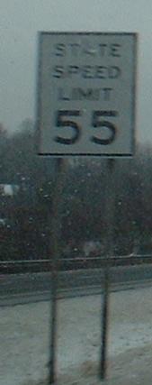
Old, mangy sign on CR 46 SB.


More old, mangy stuff in the NB direction, and nearly perfect shields at CR 80 (if only the directional banners were on top). Most people know NY 27 as the Montauk Highway, so it's not surprising that CR 80 is the old road.


NB across Narrow Bay on the drawbridge from Fire Island to the mainland. You can see how old it is.

The official name of the bridge as seen on one part of the toll houses. So the Smith Point Bridge dates to 1958 on this plaque and 1959 on the other one? I don't think they built one side first...


Looking west and east from the bridge.


Now heading southbound, looking west and east at Smith Point and Fire Island.

SB at the end of CR 46 and William Floyd Pkwy. There's something familiar about an unstriped concrete circle with several lanes, something with a distinctively Nassau County feel to it. As I hinted in this page's title, CR 75, which runs east/west (but mostly east) from this circle, was supposed to become part of Ocean Pkwy. Fire Island objected, and for that matter Smith Point objected, so there's only about 1/3 mile of straight, flat, four-lane highway.


Heading west from the circle, the "parkway" immediately ends in a semi-paved lot, then the EB side picks up again like nothing happened. Notice that none of the approaches have yield signs - traffic must always be light here.


CR 75 EB from the circle to its end. The pavement isn't NYSDOT standard, but that probably just means Suffolk County has repaved it since construction. Ocean Pkwy. would have continued into the trees and through the building.


The U-turn at the eastern end of CR 75 has old guiderail posts, harkening back to the era of Parkway construction many decades ago. I didn't know this road was that old until I saw these.
Onto CR 80
Into Suffolk County
William Floyd Pkwy. on Steve Anderson's nycroads.com
Back to NY Roads
Back to Roads