New South Wales Roads - A1 - Gerringong and N.
A1, Princes Highway - Gerringong and north
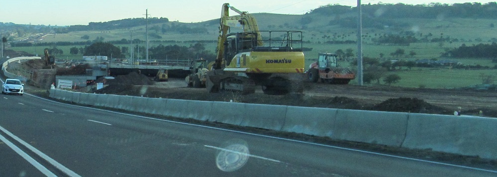
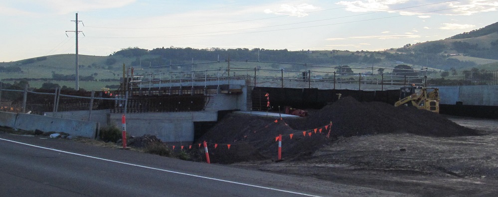
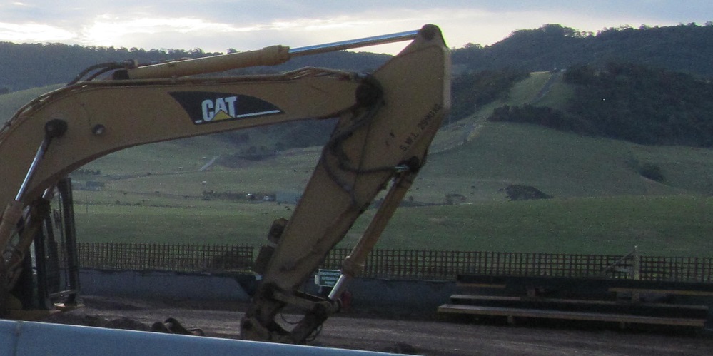
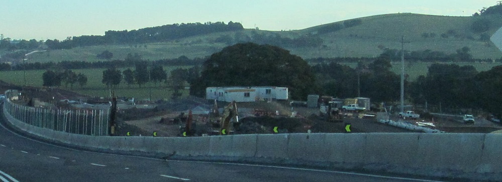
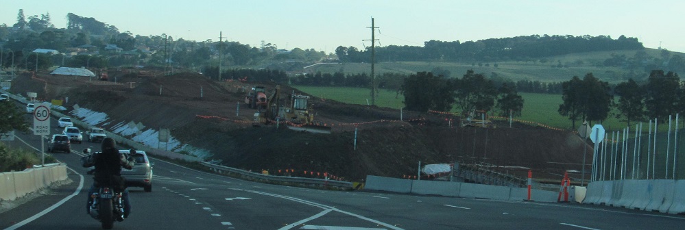
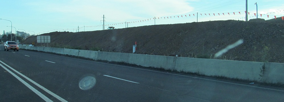
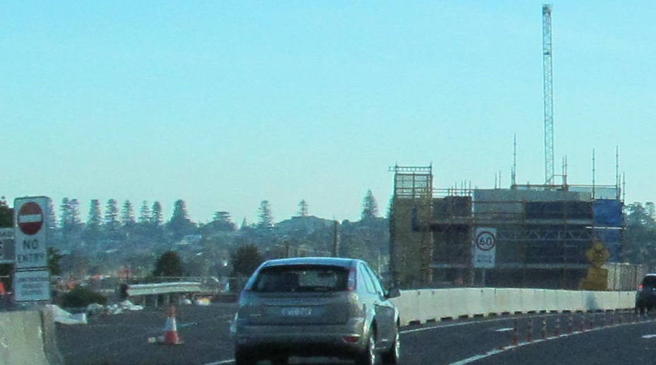
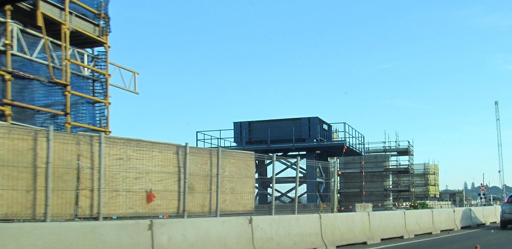
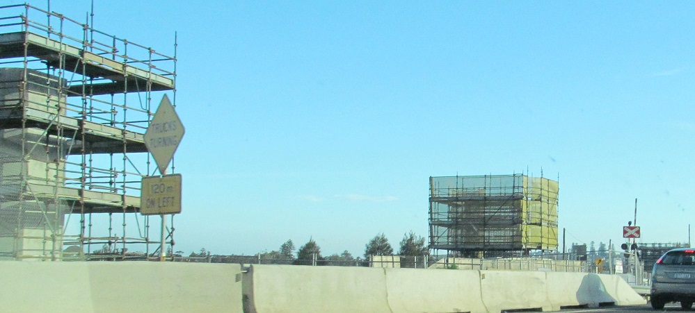
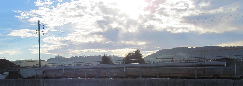
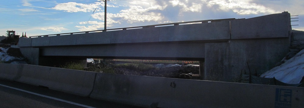
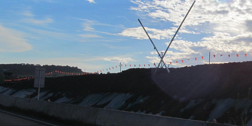
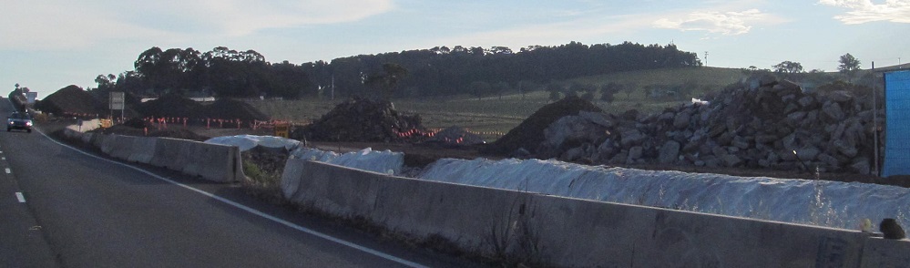
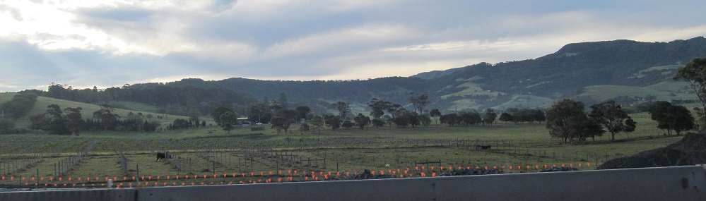
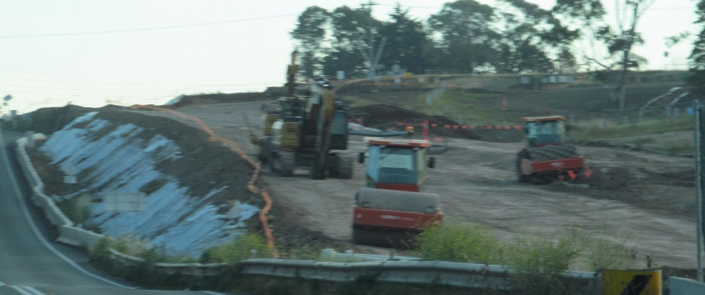
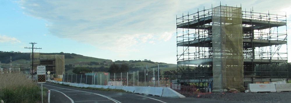
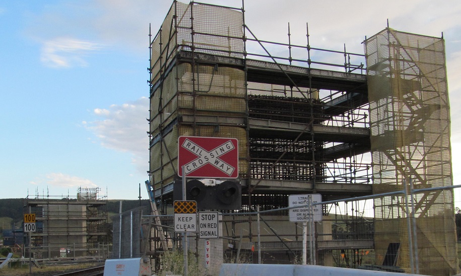
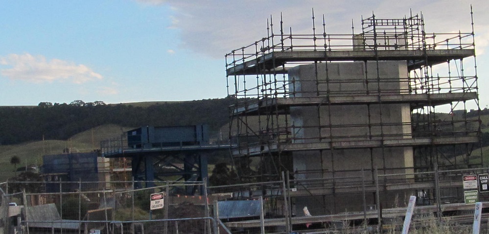
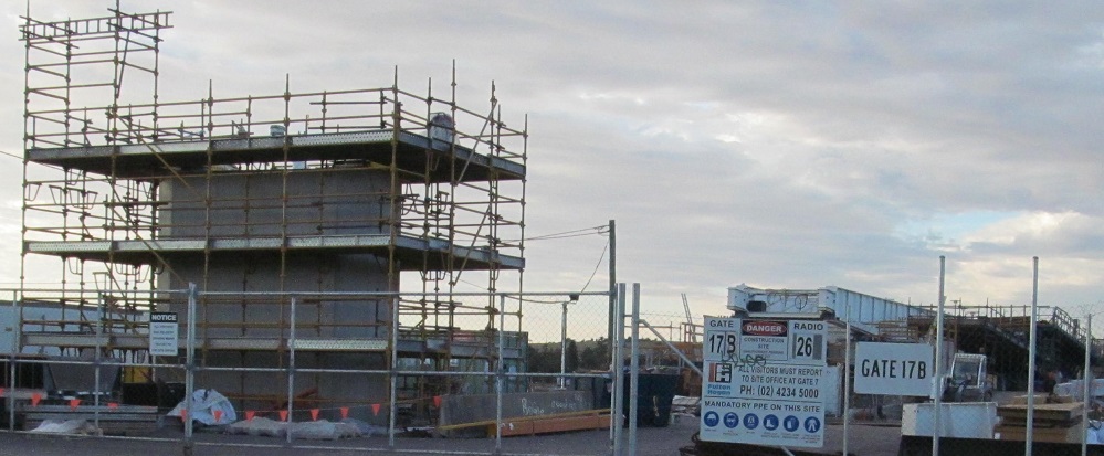
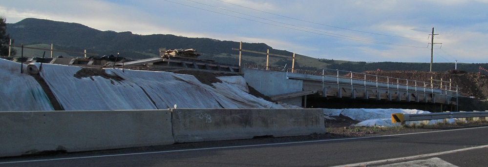
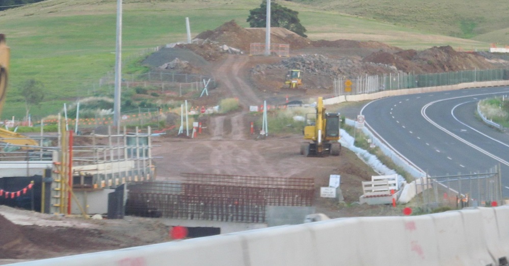
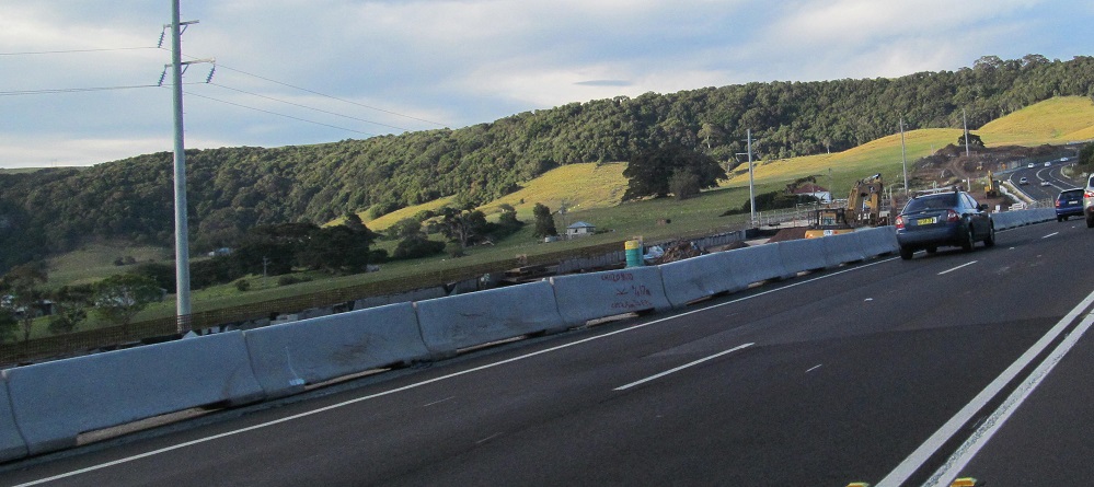
Heading SB around the northwest side of Gerringong through dualisation road works. Upgrades continue down to Toolijooa, and since these photos, the 4-laning has been extended to Berry on its way toward Nowra. To orient you, the 5th photo is the future Rose Valley Rd. interchange overpass taking shape, the 7th-9th photos with the tall boxy structures are at the future Fern St. railway overpass, and the 10th photo is my jeans button reflecting in the windscreen. The one photo to the right (west) views Currys Mountain.
Fern St. NB at the other side of the future railway overpass. Now that Fern St. crosses over instead of at-grade, it no longer intersects A1 directly, but instead parallels it to the Rose Valley Rd. interchange.
One view southward down Fern St.
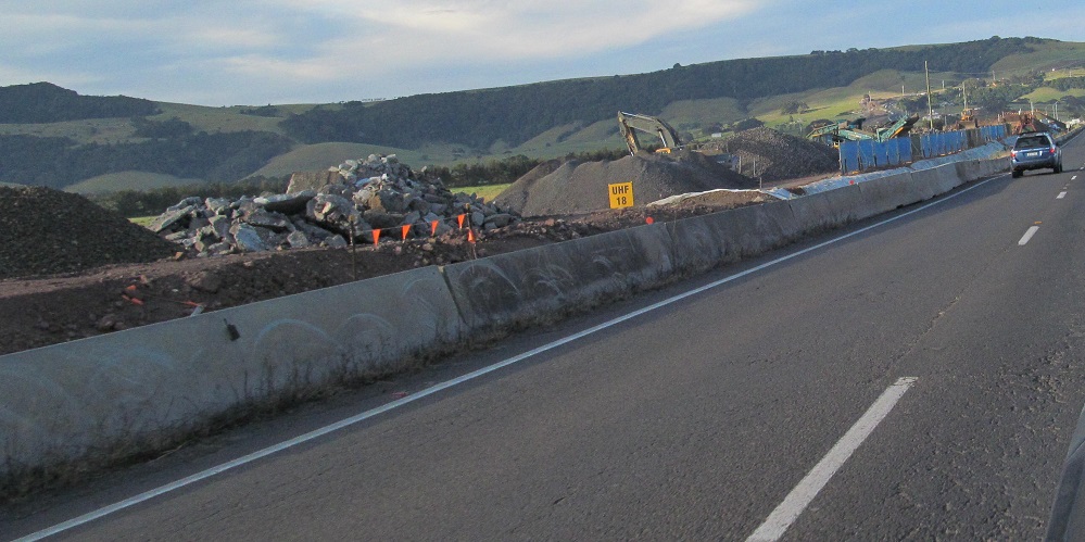
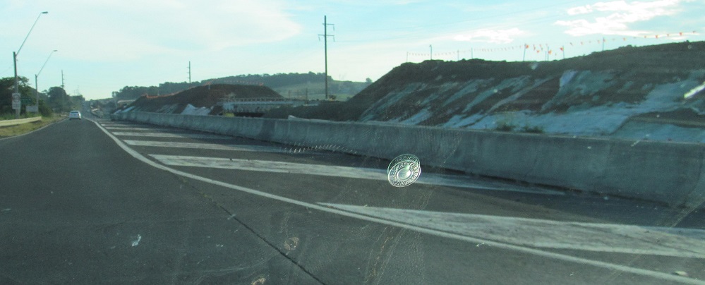
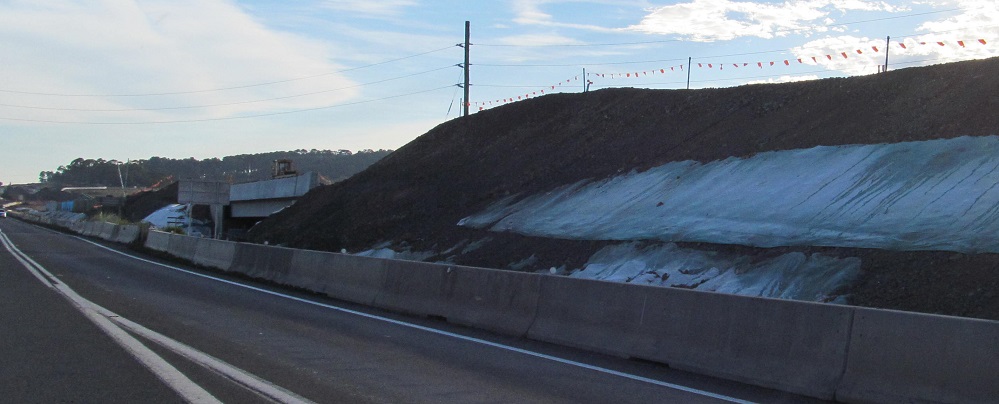
A few north-facing construction photos. The centre 2 are from Ooaree Creek (the 11th SB photo in the first run above) and from the Fern St. merge.
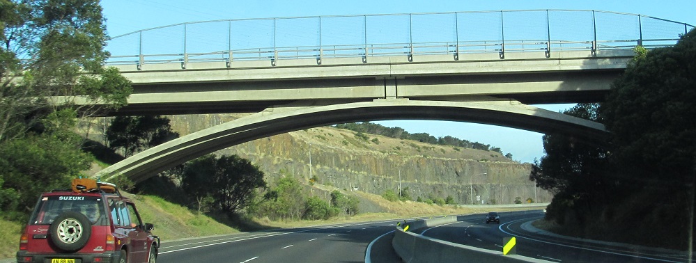
SB under two interesting bridges, the Bombo interchange (connecting to Riverside Dr.) and Saddleback Mountain Rd. in Kiama.
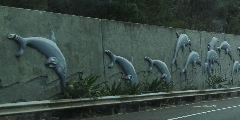
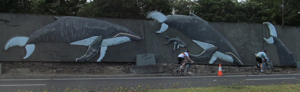
Dolphins on the left, whales on the right as I head north of the appropriately named Waterfall, NSW.
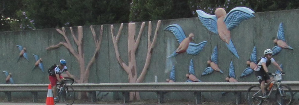
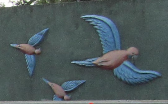
SB parrots a little farther up.
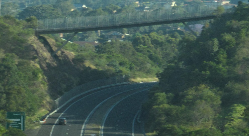
A pedestrian crossing of Hotham Rd. (A1) in Kirrawee, NB.
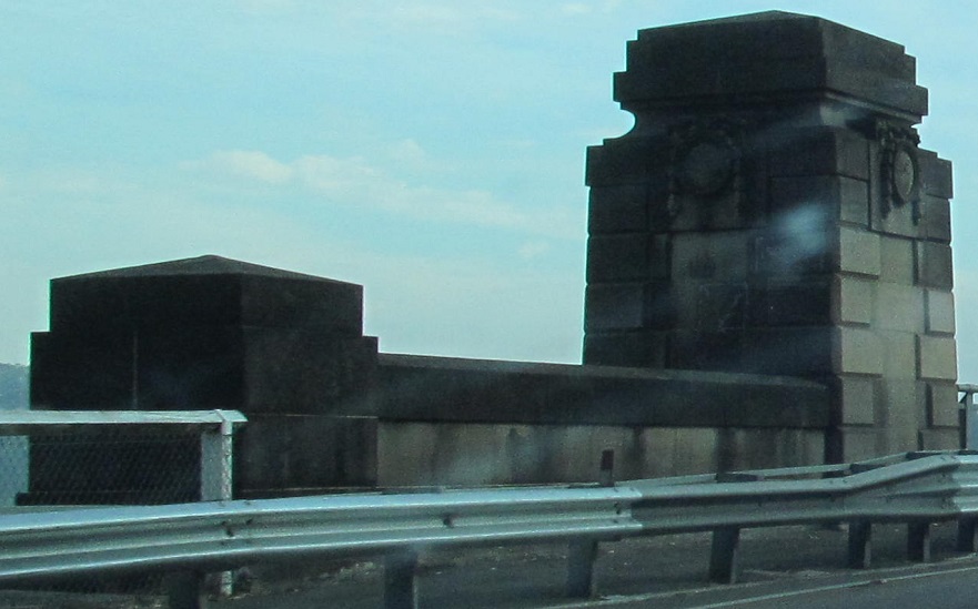
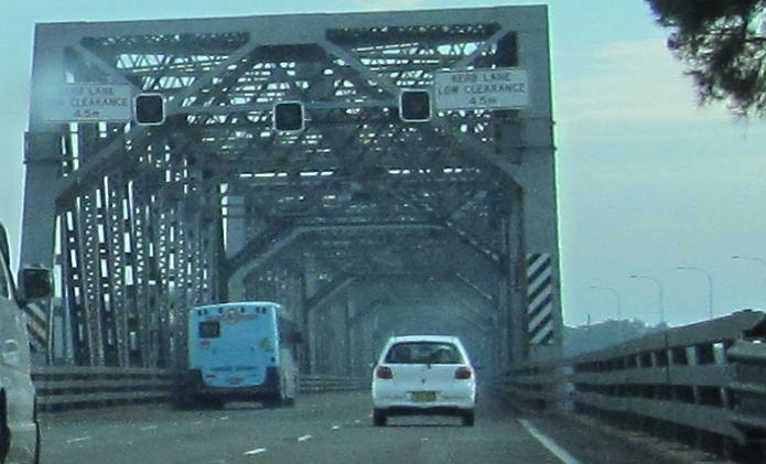
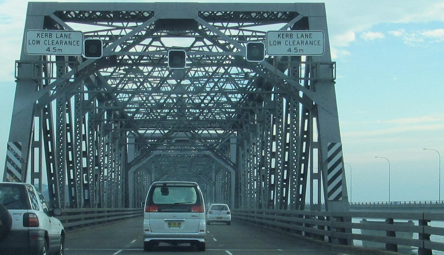
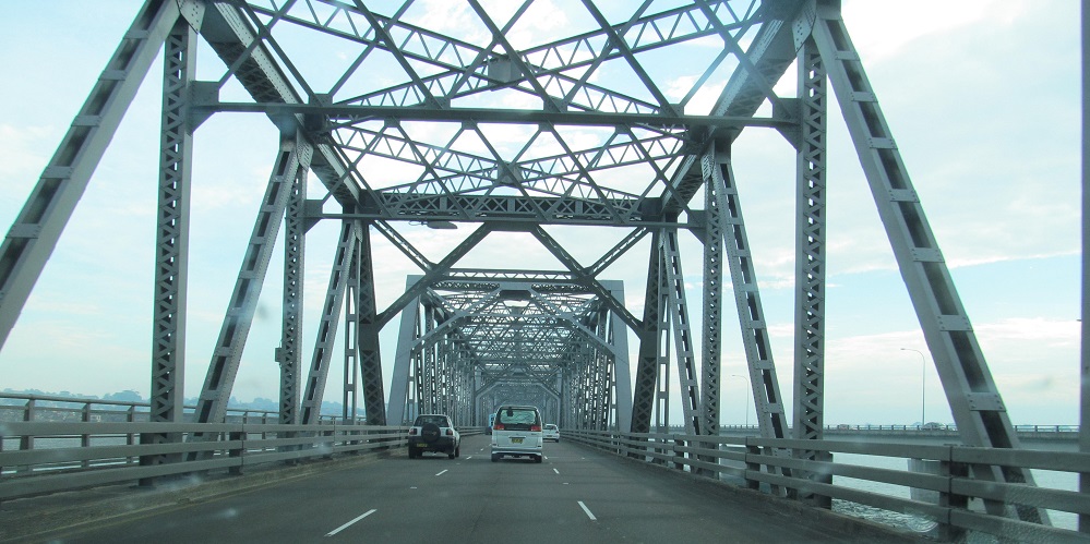
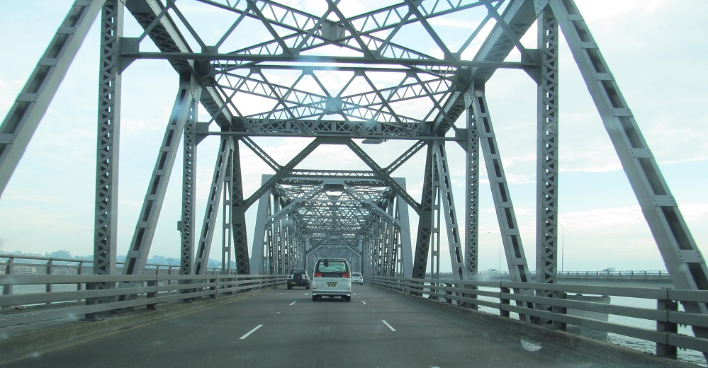
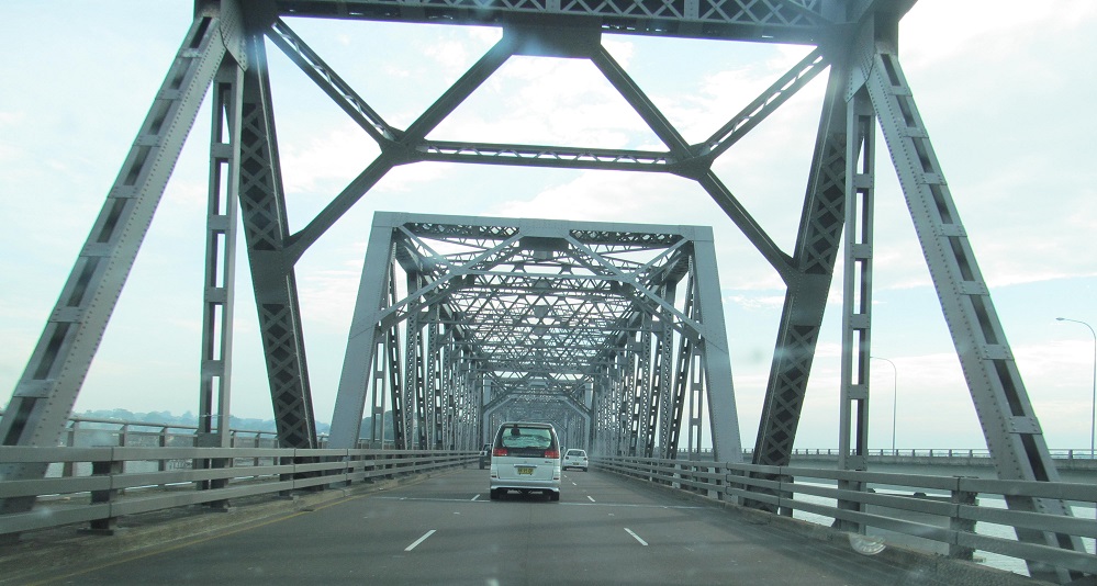
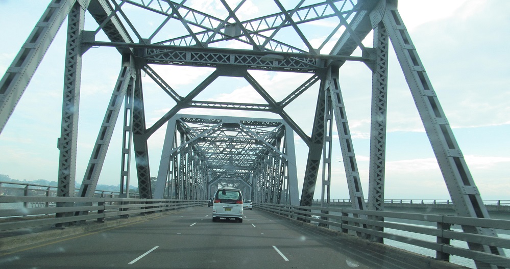
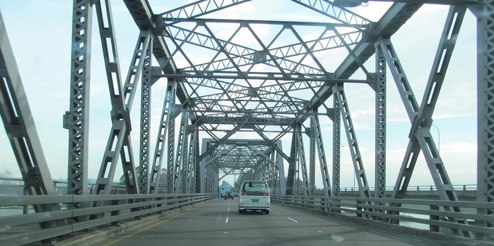
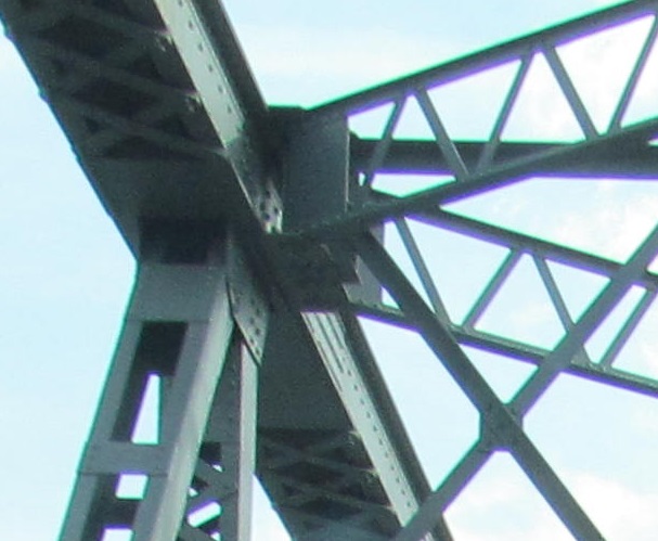
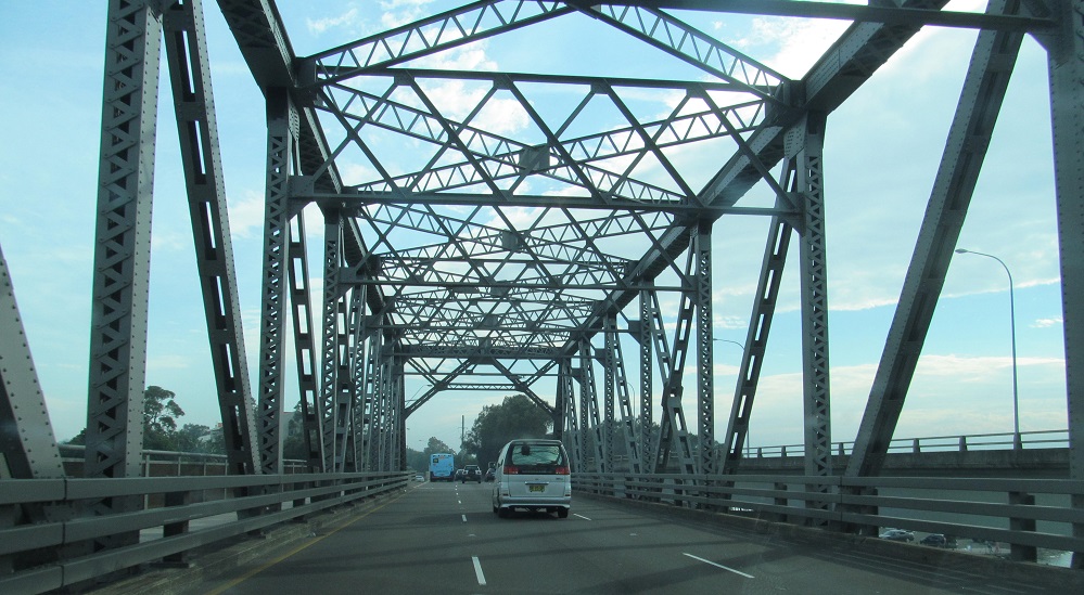
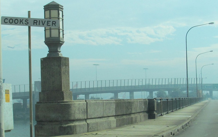
Heading north over the very much not-ugly Tom Ugly's Bridge (1929) over Georges River into Blakehurst at Tom Ugly's Point. The SB bridge is rather uglier.
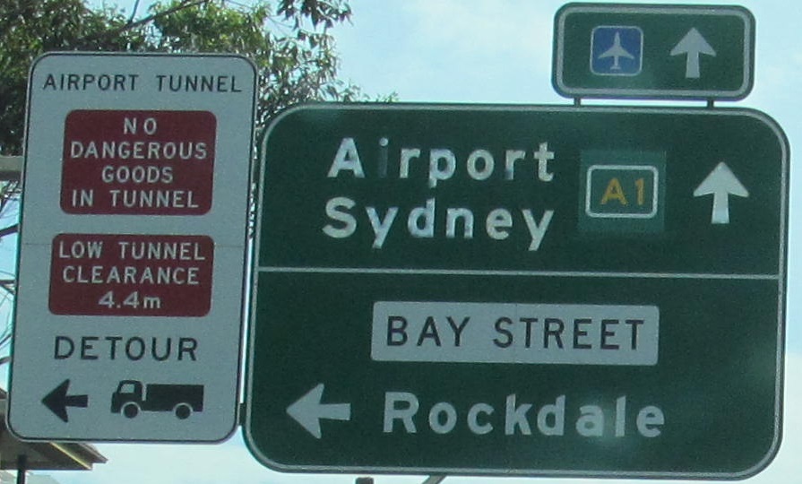
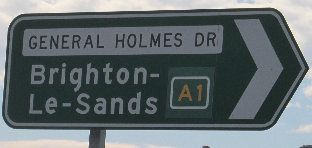
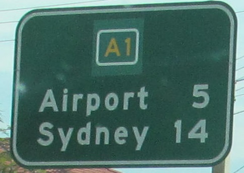
A collection of signs with A1 shields patched over Metroad 1, which it replaced through Sydney. The second one faces Bestic St. EB, and the others are NB.
NB nearing M5 and the transition to M1 (see big link below).
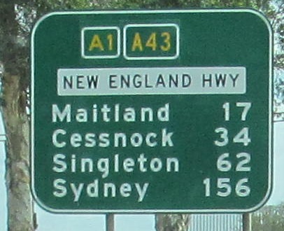
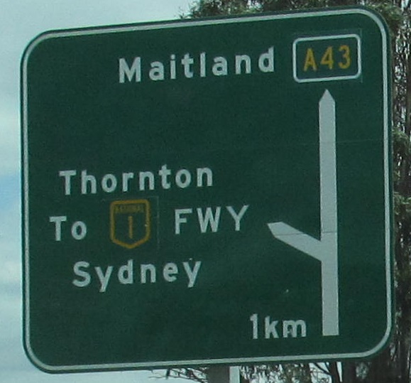
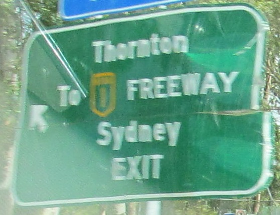
A1 SB follows A43 NB to get over to the alignment of M1 (previously NH 1 Freeway) in western Newcastle. A43 is a relatively new creation spanning the part of former NH 1 bypassed by M1 and the part of former NH 15 bypassed by M15. NH 1, or what's now A1, used to go the other way on what's now A43, which continues the Pacific Highway name into Newcastle (A43 was since rerouted off of it for a bit) down to Blue Haven before A43 splits off the old alignment to what I gather was the first section of M1 built. The freeway used to be numbered SR 132 before NH 1 was moved over from Pacific Hwy., hence why the old NH 1 shields are themselves patched on the signs, and as mentioned the A43 shields are patched over NH 15.
Continue south on A1
M1, linking segments of A1
Back to A1 main page
See more of Sydney
Onto A43
A1 Non-Roads
Back to New South Wales Roads
Back to Roads