Newfoundland Roads - TCH 1 - E. of Corner Brook
 east of Corner Brook
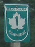
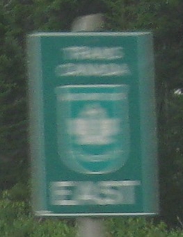
All photos are EB. The photo above is a rare find - not only a standalone TCH shield, but a new one.
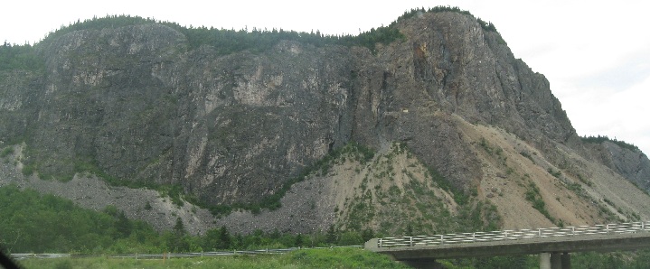
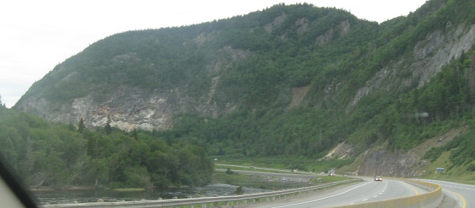
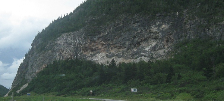
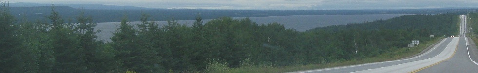
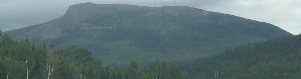
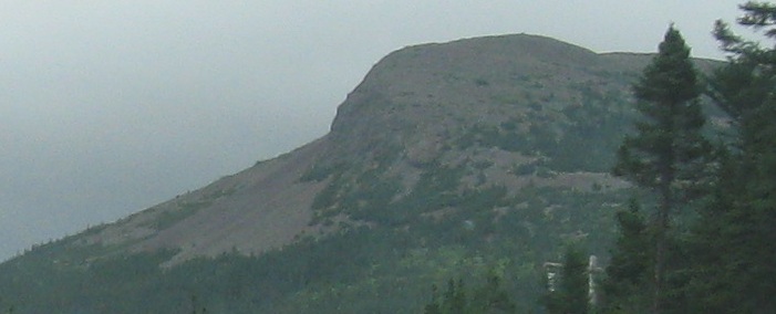
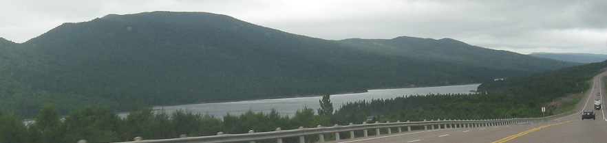
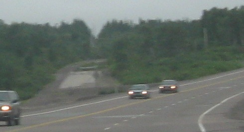
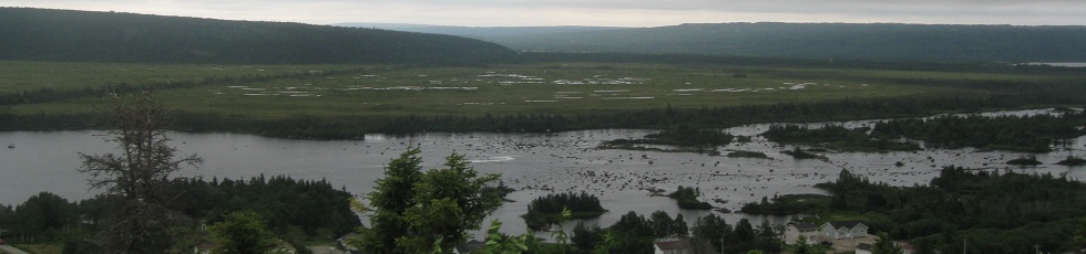
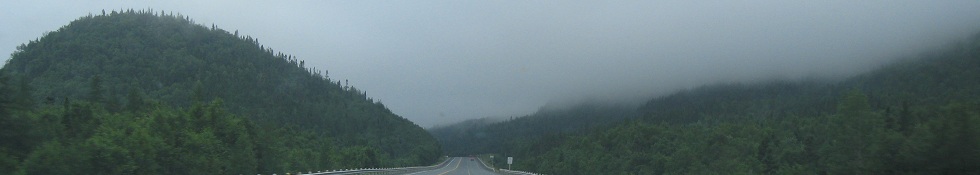
Past Mount Patricia (first two photos) and Musgrave Mountain, following the Humber River, as I leave Corner Brook.
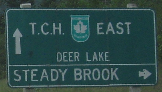
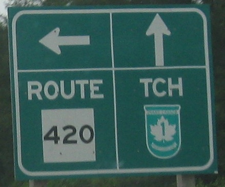
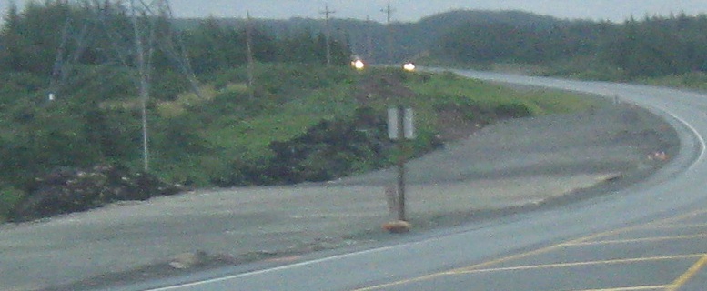
EB from Exit 8 (a diamond ramp despite the hard right arrow) past Deer Lake (part of the Humber River) to NL 420. The first sign is typical of the old style with rounded corners on a wooden sign, repeating "T.C.H." out of the Trans-Canada shield, but I don't know if the smaller Deer Lake destination is part of the old standard. The NL 420 sign is the only time I saw Newfoundland goof and make the white rectangle into a square. I wish they gave up after trying this one, because the sign is hideous - the arrow on the right is practically touching the borders, the "TCH" is a sound you make with your tongue (though I of course use that same abbreviation on my site, but I'm not a highway department), and the name of the province is missing from the banner at the bottom of the shield.
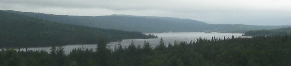
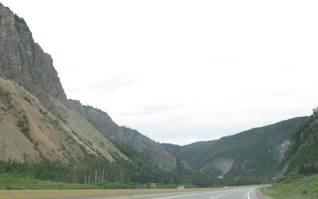
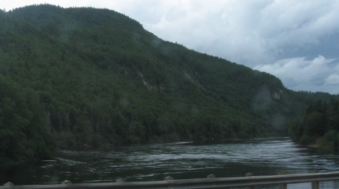
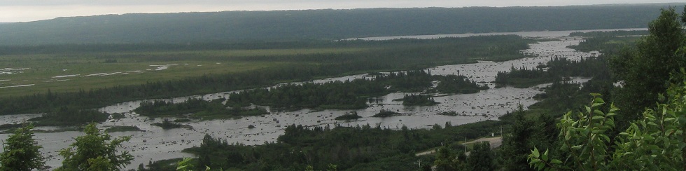
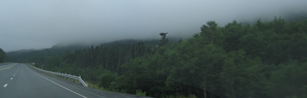
EB past Bald Knob to the upper reaches of Grand Lake, still along the Humber River.
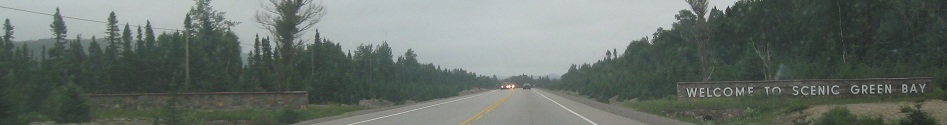
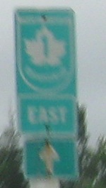
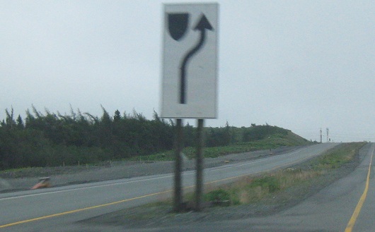
Here's a way to put a route shield on a green sign and still make it come out small. I suppose it's because the TCH 1 shield can't be made into a square like the other NL routes ("ROUTE" on top, "1" in the middle, "EAST" on the bottom - which is just about what you have here, in a way). I don't care how scenic Green Bay is, it can't match up to what I've seen up to this point. I will admit, though, that compared to Wisconsin, this would likely be the more scenic of the Green Bays. No knock on Wisconsin, either.
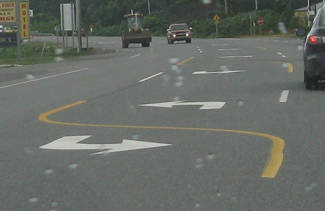
Another of the many old alignments of TCH 1, and peculiar striping at NL 370. This is how Newfoundland makes a center two-way left turn lane, but it implies that you have to swing your car quickly into the 20-foot long turn bay and avoid the car directly opposite you in the other turn bay. That's why every other state and province uses the solid-dashed yellow standard.
At Lincoln Rd. in Grand Falls-Windsor, a tight exit ramp off of the only Jersey freeway TCH section (no cross traffic, just driveways).
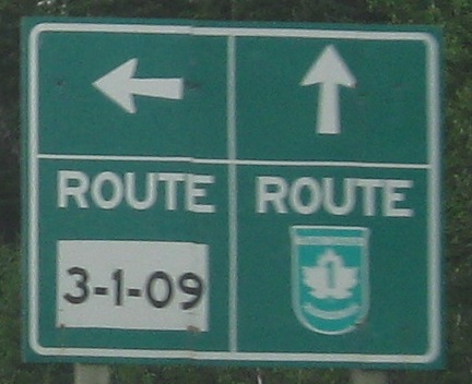
Here's how to interpret routes like 3-1-09: It's in the same region as the other routes beginning with 3 (from 300 to 399), but it's too short to get its own number so it's just a branch off of TCH 1, in fact the 9th such branch. I can't believe Newfoundland used up 400 numbers across the province - there has to be some slack to cover cases like this. That would be a great excuse to come back and fix the panels on this sign to line up properly again, and cover up the slanted 3-1-09.
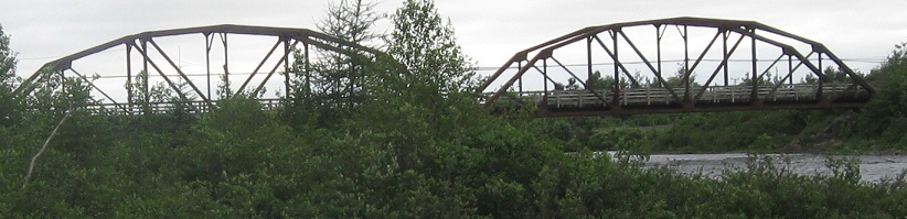
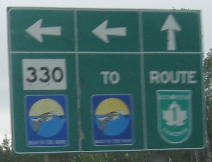
An old railroad (now ATV trail) bridge across the Gander River before I come to an extra-ugly sign. It's extra ugly because it has an extra panel. The Road to the Shore shield fits below the NL 330 square, so there's no reason to sign the turn once more to the Road to the Shore in the center section. Time to get rid of it and put back the trapezoid.
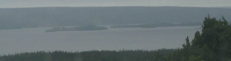
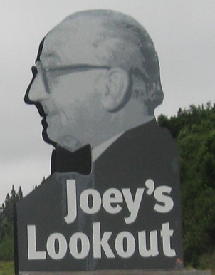
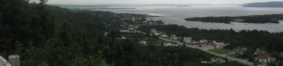
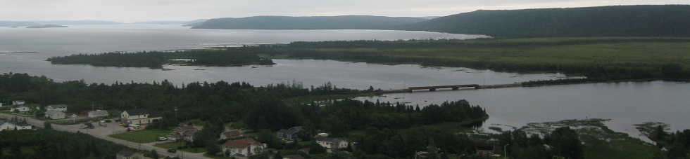
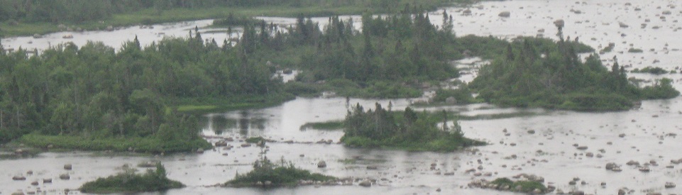
Things get interesting when I get to Freshwater Bay and Gambo Pond on Gambo River, from an old shield assembly (please keep) to a scary old man (please cover up to spare us all our nightmares). The gray Joey goes perfectly against the gray sky, complemented by the gray water and hazy shore of the bay.
The Father of the Confederation, Joey Smallwood was the first Premier of Newfoundland when it joined Canada and ceased to be a dominion of the United Kingdom. He looks out over NL 320 winding through the towns of Gambo and Gambo South, or maybe watches people when they sleep. Don't move into that town without keeping an eye out on good old Uncle Joey. Photos pan from west to east.
Closer looks from west to east. I now bid goodbye to Joey, and I swear he smiles at me when I do. You can just about see it in his eyes.
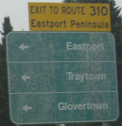
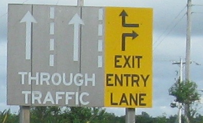
Oddly, the exit to Route 310 is unnumbered despite clearly being important enough to be signed as an exit. I guess it's not important enough to get a proper sign, because this is just green painted wood with no quality attached.
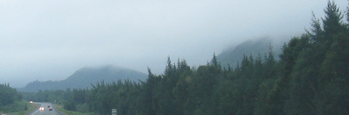
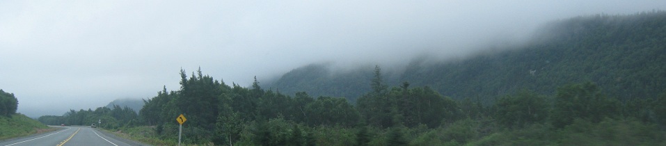
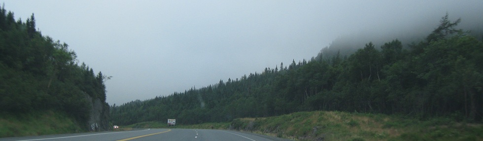
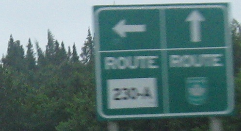
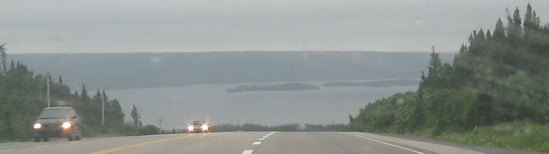
Fog starts to set in as the day grows late. Even though fog is usually seen in the morning, this is the land of clouds, so they're everywhere, especially as TCH 1 comes closer to the Atlantic Ocean. I end up at a rare A route, again hinting at a lack of available route numbers. Pardon the blur, but it's foggy out.
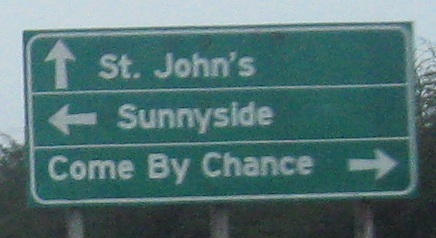
EB at the Come By Chance turnoff, where an old alignment briefly splits out to the right. I debated including this photo, but if I'm going to have Dildo and Placentia up on this site, I damn well better complete the trinity. Come By Chance was a piece of settled land that happened to not be allocated to any particular town. Therefore, it Came By Chance that the family on that land suddenly owned their own village. For awhile, that made it the only privately owned village in Newfoundland. Now tell me the story of how Dildo was named.
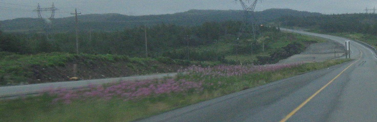
Leaving that turnoff, the newer alignment of TCH 1 built just to the north of the old one leaves a pavement trail as if to continue a four-lane highway farther east. It's 60 km from here to Whitbourne, where the divided highway finally picks up and heads into St. John's, so it may be awhile before the dualization makes it out here. Unless it comes by chance.
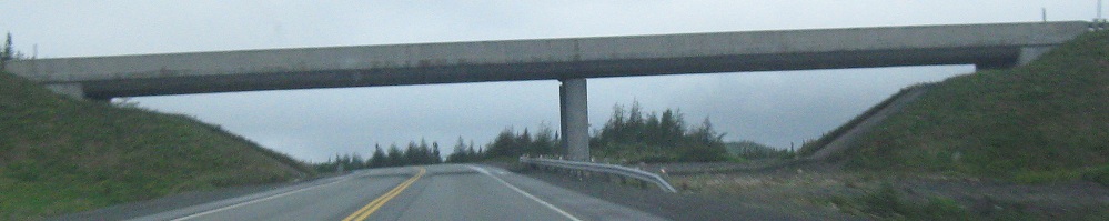
Just 7 km later, although there's no sign of a divided highway, there is this one overpass with enough room for future EB lanes. This is at Exit 26A for Arnold's Cove.
Back west on TCH 1
Back to TCH 1 main page
Back to Newfoundland Roads
Back to Roads