Newfoundland Roads - TCH 1 - Corner Brook and W.
 Corner Brook and west
All photos are EB.
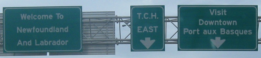
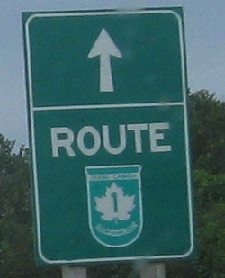
The first signs off the ferry are very much non-standard, and may have been designed by the tourism bureau instead of the highway agency. I say this because no self-respecting highway department tells people to visit downtown, and Newfoundland would never forget the TCH 1 shield in the middle of its signage. Unfortunately, Newfoundland does forget to install standalone shields, leading to the waste of space atop the page. I don't need an arrow, I'm already on the road and it goes straight. I don't need a "ROUTE," because the TCH shield is self-explanatory.
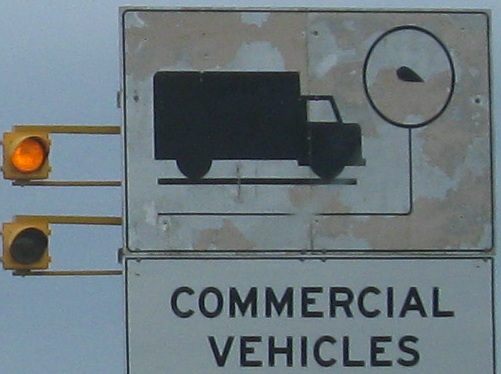
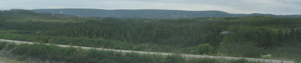
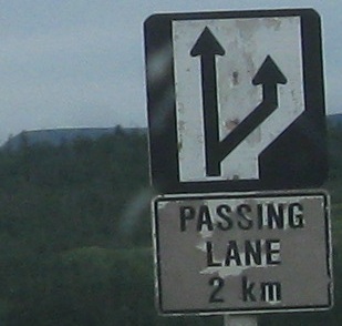
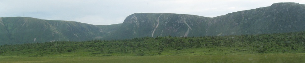
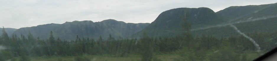
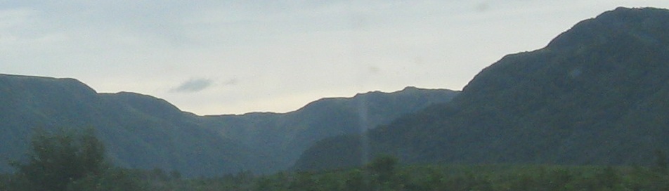
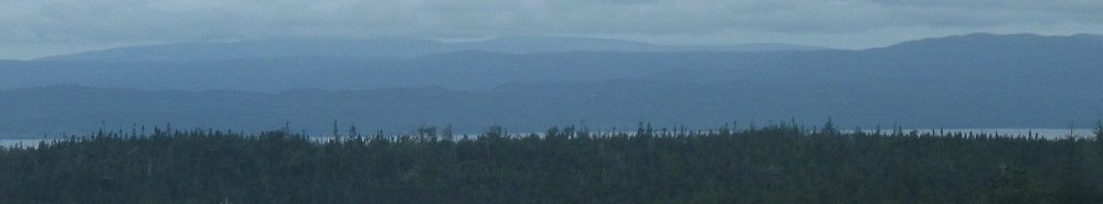
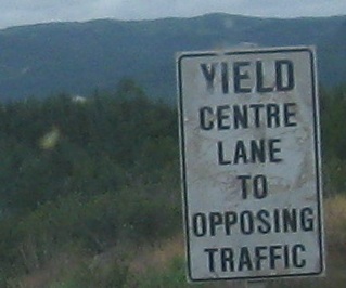
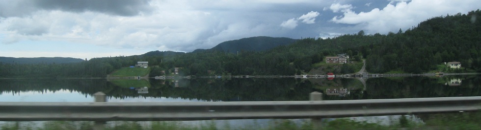
The next impression on visitors is a lack of attention to maintaining regulatory signs. The Table Mountains loom in the distance - the far southwestern reaches of Newfoundland are the most scenic part of the long 10-hour drive on TCH 1, though I wouldn't be surprised if the scenery gets even better on the way up the Great Northern Peninsula to Gros Morne and l'Anse aux Meadows (the original Viking landing site in Canada 1,100 years ago).
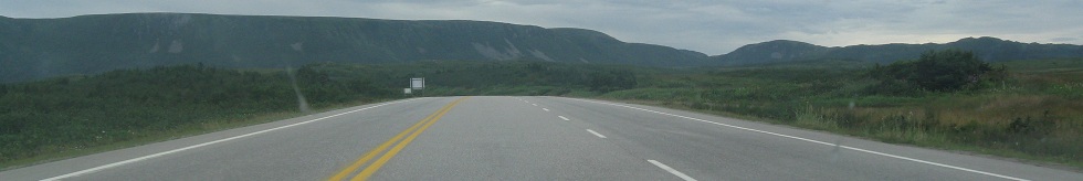
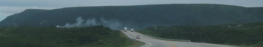
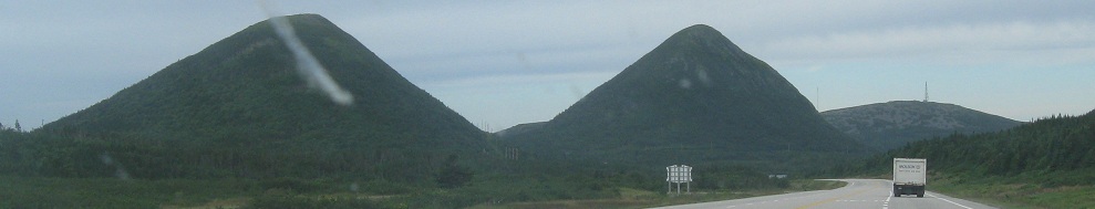
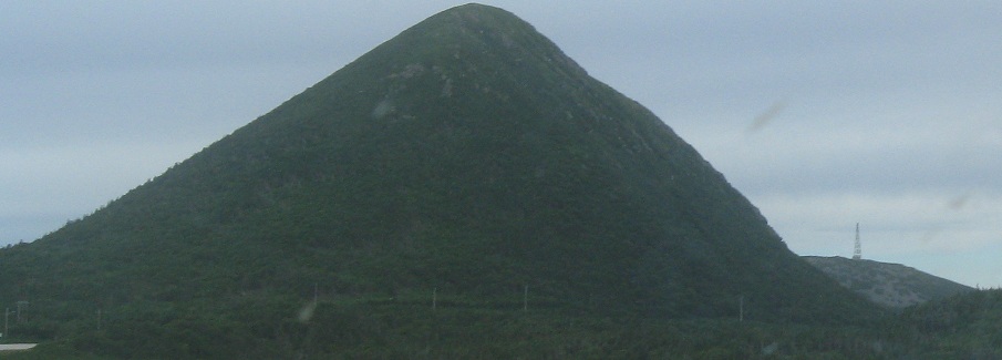
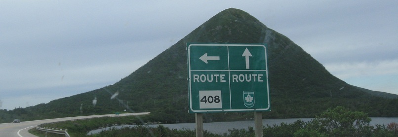
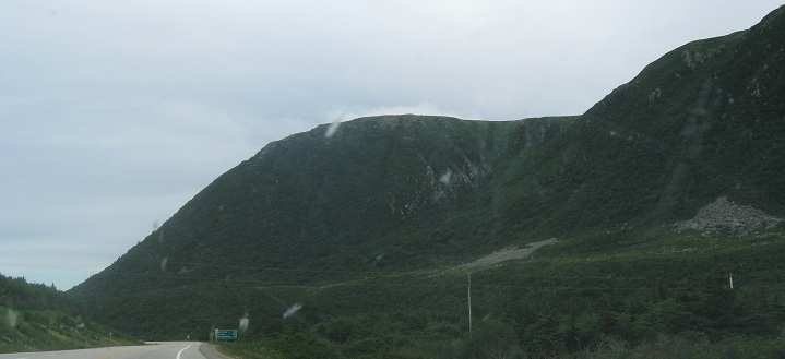
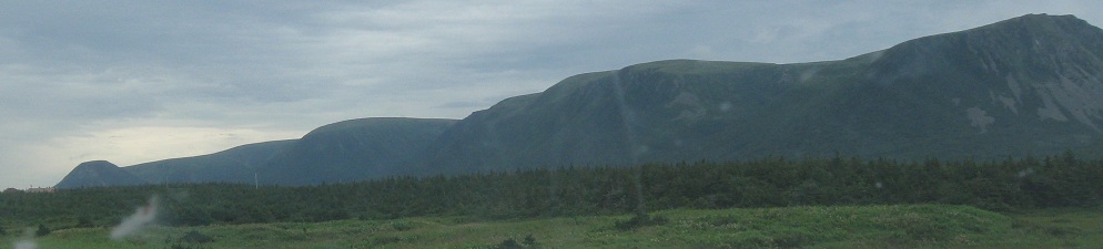
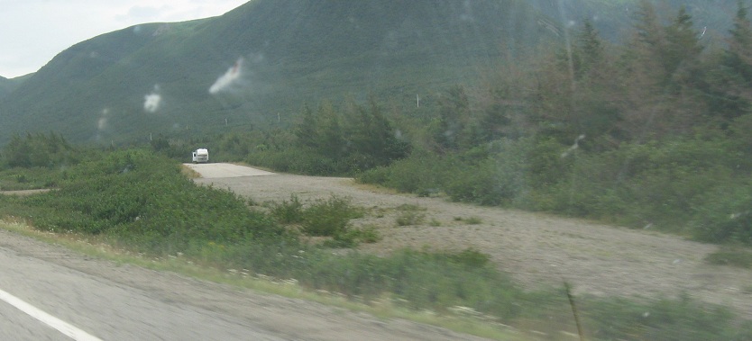
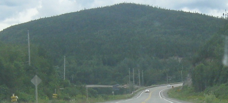
Into the Table Mountains, first stop Twin Hills, second stop Billy's Pond at NL 408, then along Bear Cove River. Besides the stunning scenery right off the bat, you may notice clouds. This is a sunny day for Newfoundland, in that everywhere offshore, the sun is shining. It's just that the entire island has an inescapable cloud cover, at least during the summertime. Yes, the sun does shine through from time to time, but it's an exception rather than a rule.
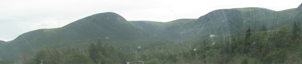
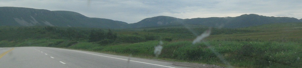
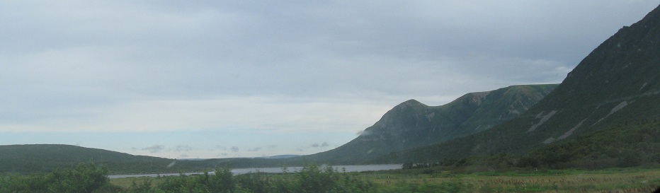
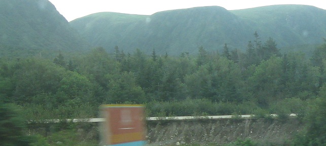
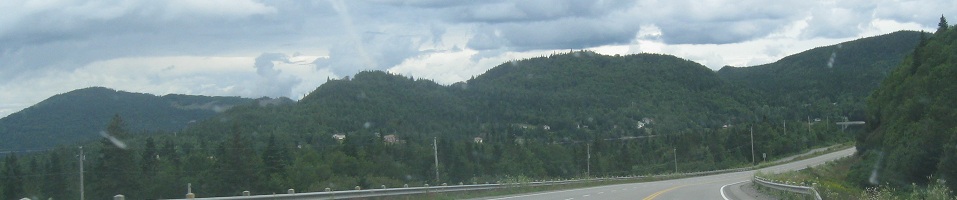
More scenery along the Gulf of St. Lawrence.
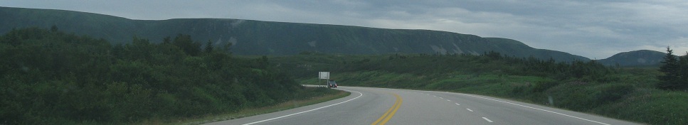
An old alignment chooses to branch off and I choose not to follow it.
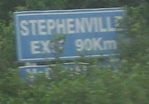
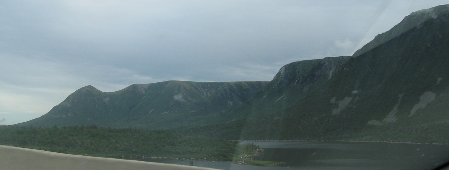
Two old signs bracketing more scenery. The trapezoid is the former route shield style, contrasted with the ugly, boring white rectangle you saw above for NL 408. Remaining trapezoid signs are few, far between, and in deteriorating shape. Many of them, such as this example, are wooden with rounded corners. The Stephenville Exit 90km sign is amusing until you realize that you will come across nothing at all for the next hour - in fact longer, because you have to get from the exit to Stephenville.
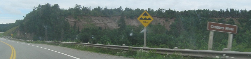
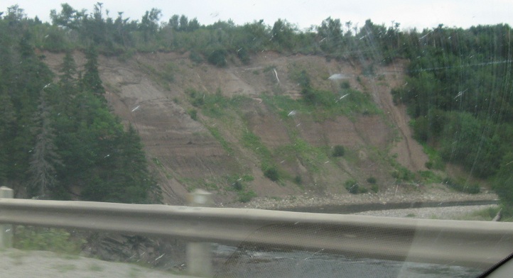
EB from Codroy Pond past another old sign at NL 405 (but sadly no trapezoid) to the striated cliffs of Crabbes River. I wonder if there's good crabbeing to be done here.
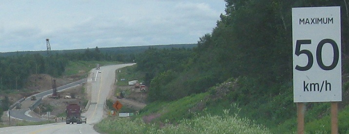
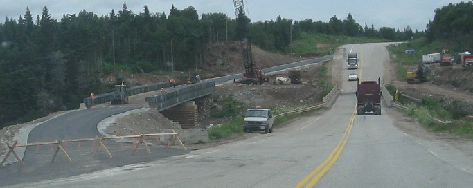
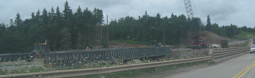
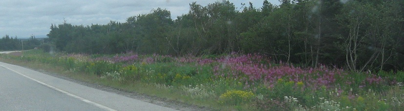
The next river down from Crabbes is the Barachois River, here with a monstrous speed limit sign and corresponding temporary bridge being built so the existing narrow one with no shoulders can be replaced with something modern and less prone to fatalities. The purple flowers are lupins, to be found all across the island, enough to drive Dennis Moore insane.
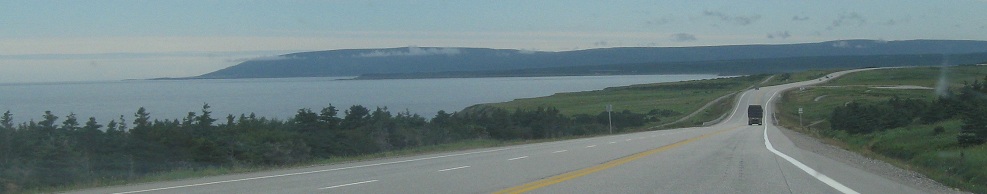
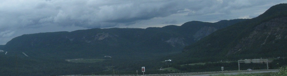
Looking across Bay St. George near the Stephenville exit.
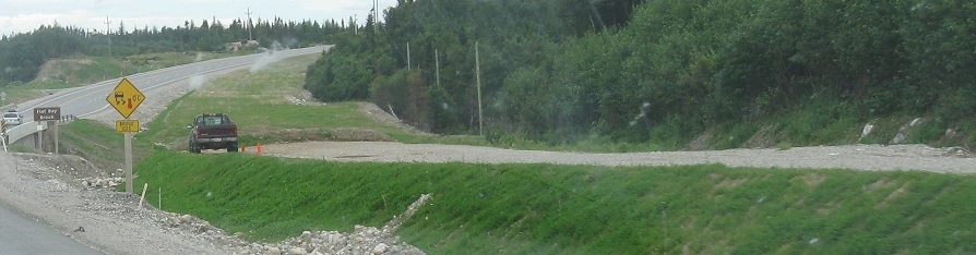
Another old alignment doesn't make it across Flat Bay Brook. This may be what happens at the Barachois River.
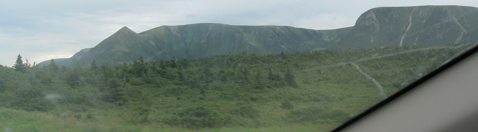
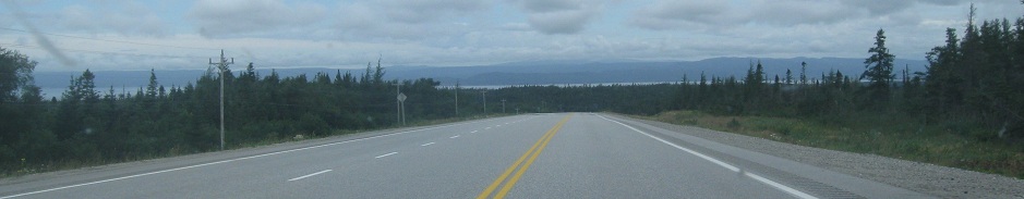
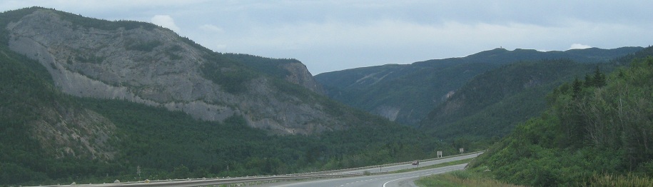
George Lake. After seeing so many clouds in the previous photos, you may see blue sky here. Sorry, it's an illusion, those are just more gray clouds.
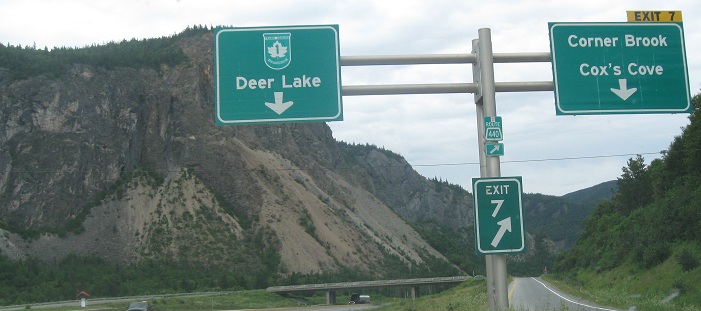
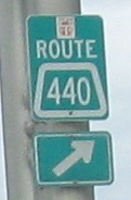
EB past Rock Mountain east of Corner Brook. Most of the sign assembly seems to be new, but the Exit 7 tab does not meet the standards a new sign ought to meet. Finally, as if embarrassed by failing to replace a remnant of its past, Newfoundland has isolated the old Route 440 shield right in the middle of the pole where no one will look for it.
Continue east on TCH 1
Back to TCH 1 main page
Back to Newfoundland Roads
Back to Roads