New Jersey Roads - US 9W - Mainline
US 9W mainline
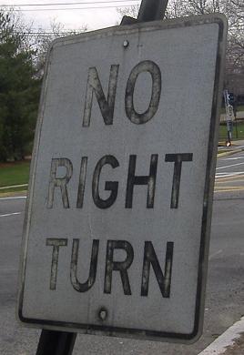
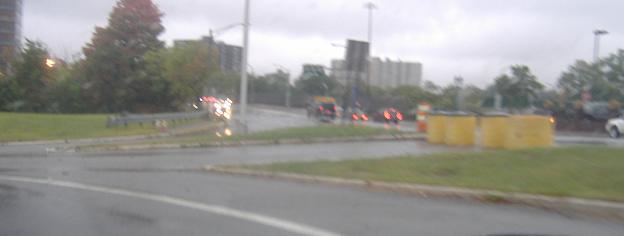
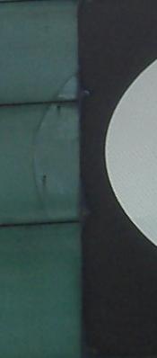
The southern end of US 9W, at Bridge Plaza South. Almost flattened, to the right and below the main assembly, is the NO RIGHT TURN sign. A very important sign, because three lanes of angry NJ 4/I-95/US 1/9/46 traffic is coming up that ramp at you.
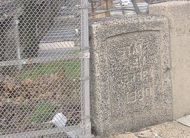
The southeastern bridge abutment of the long I-95 overpass (with six roadways beneath - Express, Local, and US 46 in each direction). Two or three disconnected pieces of the bridge were constructed in 1930, with the original set of bridge approach roadways, and then in 1960-61 the entire structure was connected across the freeway agglomeration seen today - this is when the Bergen-Passaic Expressway (now I-80) was tied in and the bridge got a second deck.
NB, on the left and right sides of US 9W respectively, as 9W crosses the many lanes of I-95 beneath it.
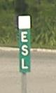
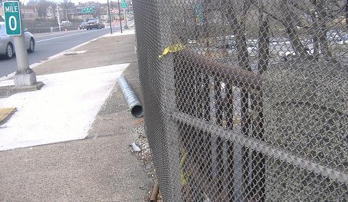
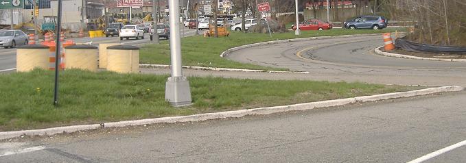
On the NB loop ramp to I-95 SB, where Turnpike maintenance takes over from Port Authority only need be indicated on the mainline, in my opinion. I'm not sure what ESL refers to, because while it's on a Turnpike milemarker, I've never seen anything like it on the Turnpike.
SB just south of Bridge Plaza North; the second sign is on the back of the identical (but reflective background) northbound one above.
The same place as the first of the previous two photos, but taken a few years later. At the time of the first photo (and for dozens of years before), the loop ramp from US 9W NB to I-95 SB allowed left turns from 9W SB, as well as left turns from Bridge Plaza North, creating a three-way merge. To reduce that to a two-way merge, the left turn from 9W SB was cut, being the only component of traffic that was conflicting with another direction (i.e. turning across traffic). Now, traffic patterns have changed so that to get to I-95 South, one would take US 1/9/46 South/West. Of course, I-80 can be reached that way as well (via ramp to I-95 north), but a simple detour via NJ 67 (old 9W toward Edgewater) takes you to Bridge Plaza North and the ramp to I-95 SB, certainly shorter and probably faster than the US 46 route.
The closed ramp itself, looking south.
Looking north and then daringly west (up the active ramp) at the closed leg. I think I've covered this stub well enough now. (Thanks to C.C. Slater for doing his best impression of the Beatles.)
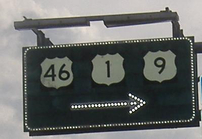
A newer SB assembly for 1/9/46, that can be no older than the closure of the center leg of the I-95 loop ramp, and yet it still has state-name shields.
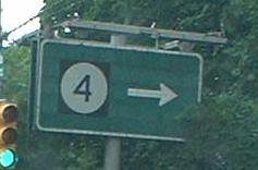
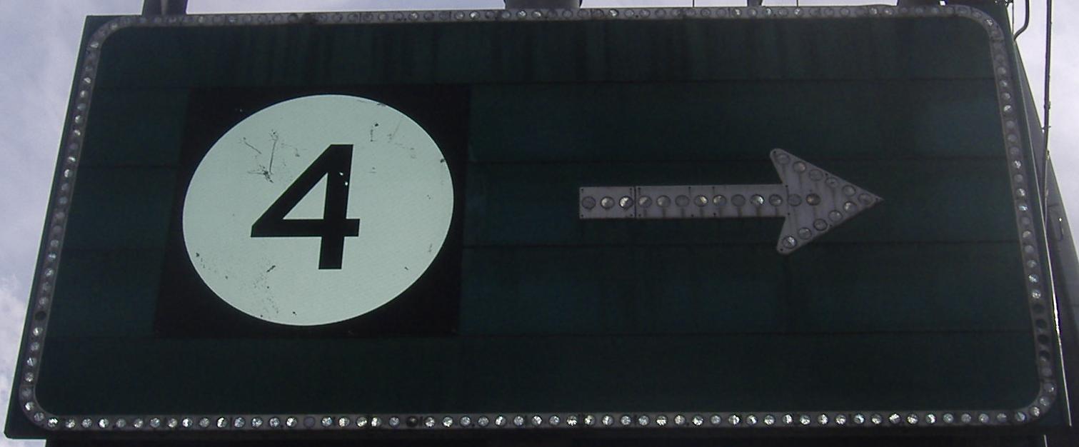
This is SB at the next intersection up, which is Bridge Plaza North to the east. Click for flash-lit closeup that shows the outline of the original circular shield behind the 4. That's right, once upon a time (1960, I'd bet, when everything else here was constructed and reconstructed) NJDOT didn't have black squares around all its BGS shields. Those shields were button copy, too.
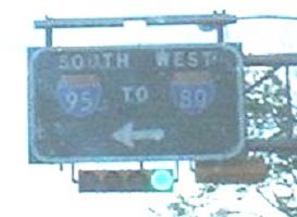
This is the back of that same sign, which faces NB traffic. Since they can't see it, NJDOT decided, rather than prune the trees, to put up a new sign just to the south:
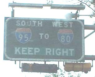
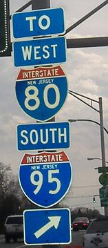
 - which just happens to fit nicely on the back of the SOUTH I-95 TO WEST I-80 sign above. Since that sign has been removed because of the ramp closure, the little square NJ 4 advance is also gone. That means that NJDOT had to prune the trees:
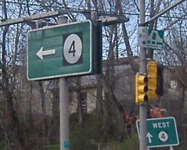
Not only do you see an added ramp sign for NJ 4, but I show you, without clicking for a 70 KB closeup, how the old shield has been removed and patched with the new.
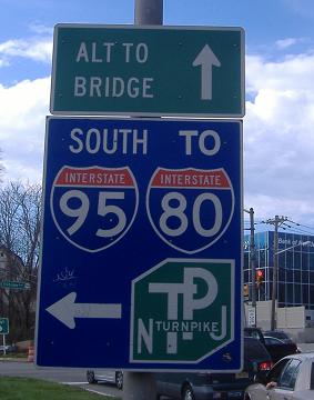
Two branches of Bridge Plaza North at US 9W (and the slow way from I-95 to NJ 4 if you continue straight - I think Alt to Bridge is meant to point to one direction or the other of US 9W, but fails). Dig the blue signage... did they run out of green? Did someone fill the shields using photoshop, and the color bled through to the background?
Here's where the green was used, on the advance sign on Bridge Plaza North.
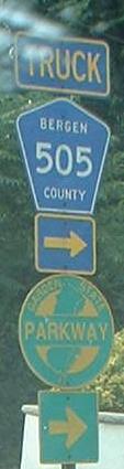
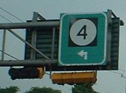
How many trucks are following CR 505, anyway? (The route turns right here from US 9W SB to NJ 4, then to CR 501 to get around a steep downhill.)
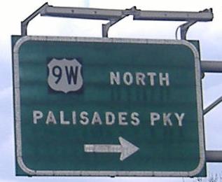
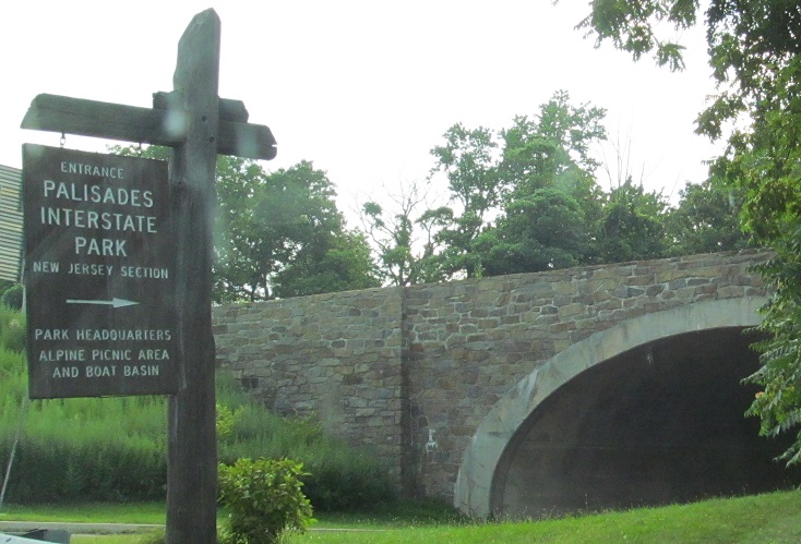
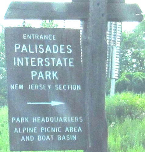
The NB beginning of NJ 445S, the spur that leads into the Palisades Intersate Parkway (the mainline Parkway leads straight to the George Washington Bridge). The dash in the shield is cool and old.
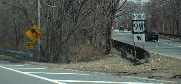
State-maintained routes should not have nonstandard signal-signage font.
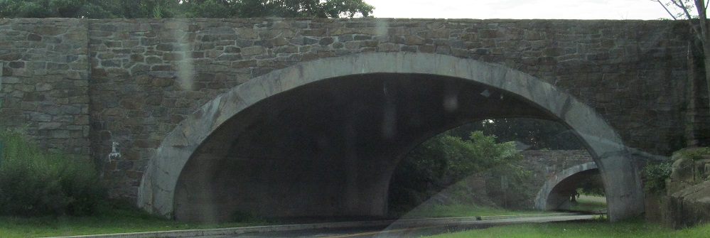
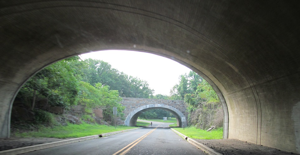
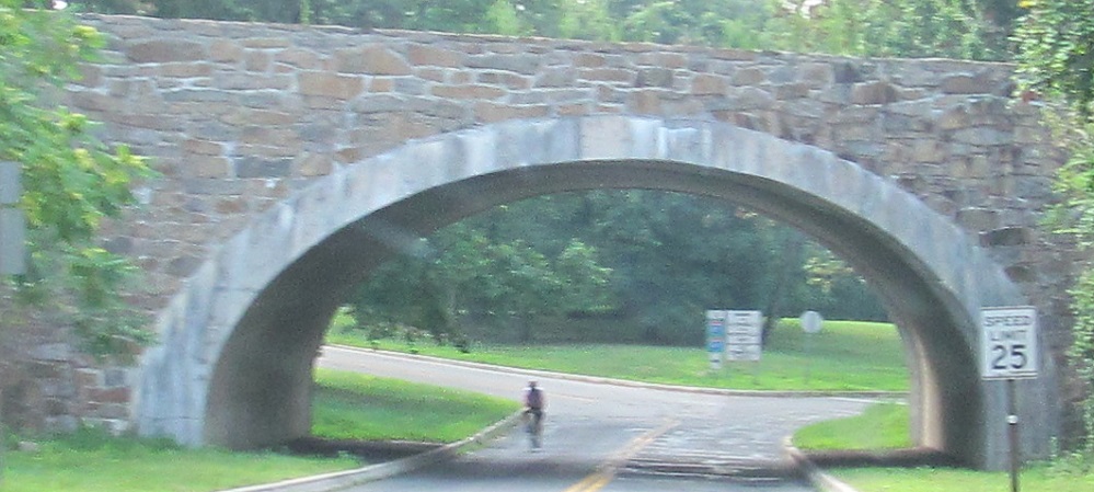
Here's what it looks like to enter the Palisades (Interstate) Parkway at Exit 2 from US 9W NB. You have the choice of heading north toward NY or south onto Henry Hudson Dr. through the park. (The PIP SB onramp connects directly to US 9W north of here.) Careful, if you choose the Drive, your next exit is several miles away at PIP Exit 1, and then not until well south of the George Washington Bridge.
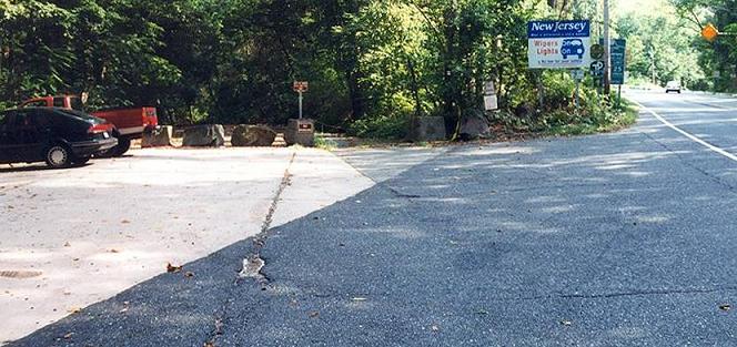
Courtesy Bill Mitchell, where the original US 9W alignment (see big link below) rejoins US 9W just south of the New York border. The fact that the road on the right, current 9W, was once only southbound may explain why all the SB-facing signs are on the left side of the road (not that they're old, but that the signs they replaced were there).
New York recently turned the trailhead into a parking lot, paving over some more of the original concrete (compare to Bill's photo above - the first of these is from about the same vantage point).
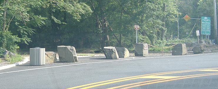
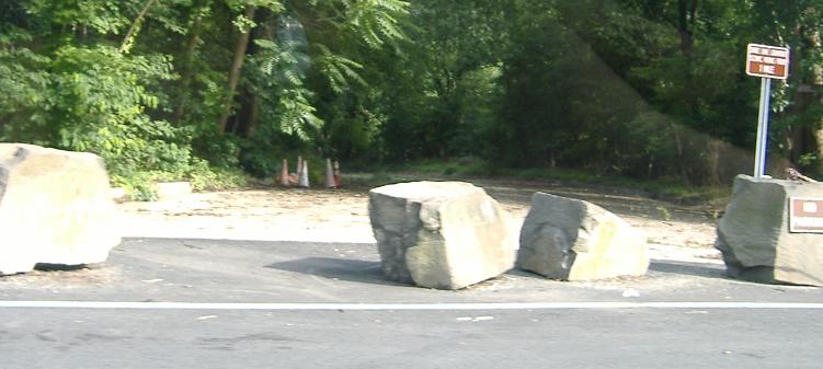
At least this sign, visible in the background of Bill's photo, was intact when I came around.
I recognized the location of this Michael Summa photo instantly, even though it was taken in 1973.
Old US 9W in the Palisades
Back to US 9W main page
Into New York on US 9W
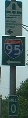
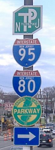
Onto I-95 (to I-80)
Onto NJ 4 (to the Garden State Parkway)
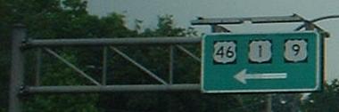
Onto US 1/9/46
Onto the parallel Palisades Parkway (alliteration!)
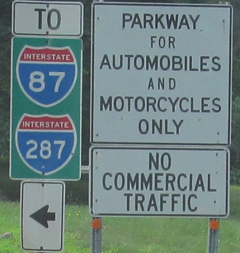
To I-87/I-287 in NY
Back to New Jersey Roads
Back to Roads