New Jersey Roads - US 46 - Dover-Pine Brook
US 46, Dover to Pine Brook
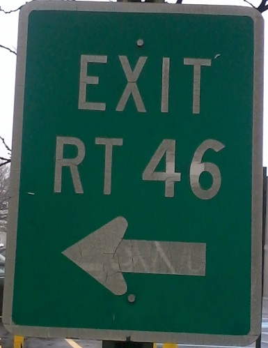
Looking down the hill from Pequannock St. SB to downtown Dover. The detour for US 46, which began life as a 95 shield (I-95? US 95? Who knows?), follows Fairview Ave. to NJ 15 and is really a permanent condition.
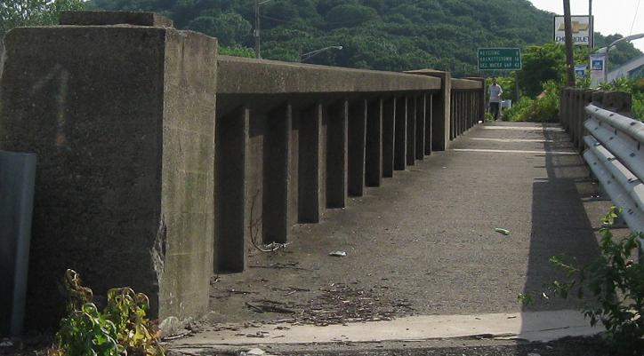
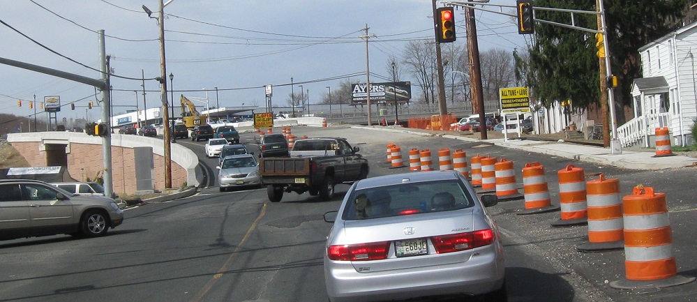
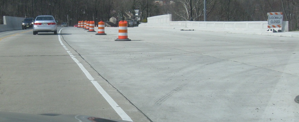
WB at the dilapidated NJ 15 NB ramp and then onto the dilapidated bridge over NJ 15 and the adjacent railroad. These are getting replaced and NJ 15 will no longer cross under US 46 to end facing the wrong way, but will instead come to a signal across the railroad and end at a conventional intersection.
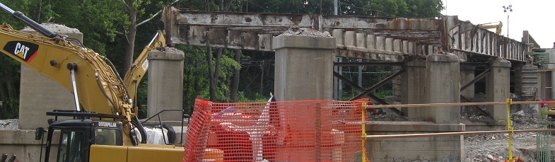
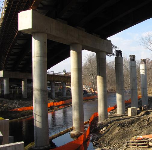
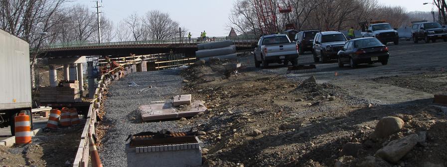
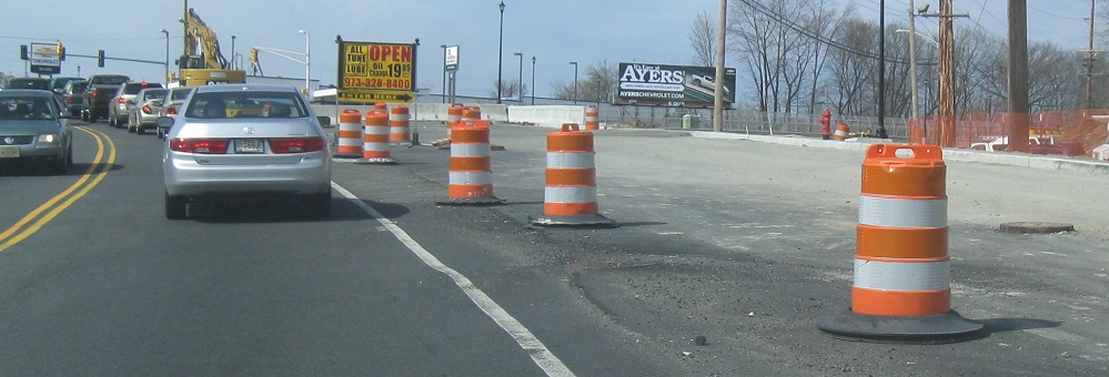
As of August 2010, the southern half of the US 46 bridge over the railroad is taking shape. The old bridge is still completely intact in the background. The intent is to construct enough of the new bridge to get at least three lanes of traffic on it (one each way and a left turn to NJ 15) and then remove the old one.
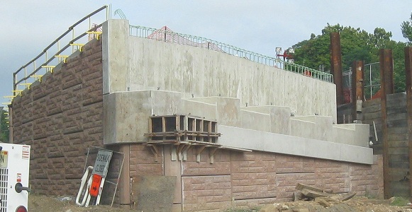
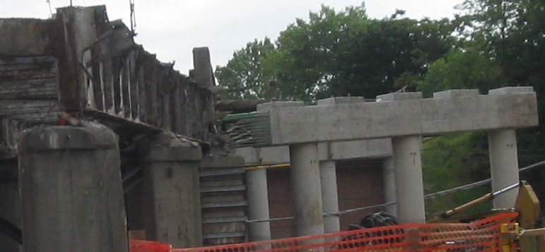
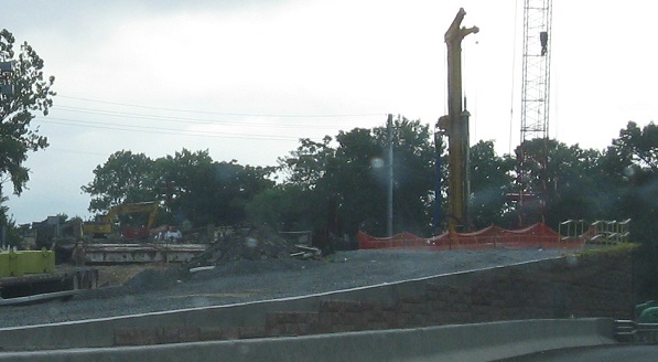
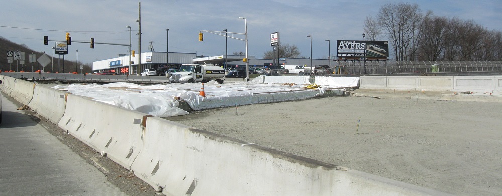
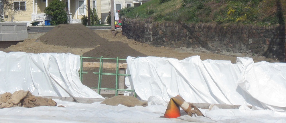
There's a second bridge to the west, a longer one that crosses another railroad, the Rockaway River, and Blackwell St. These photos are from Blackwell looking west and east at the new bridge being built, then once again west and east at the old bridge being demolished (to the west it's just a slab of pavement on a hill of dirt). So wait, where's US 46 traffic if the new and old bridges are gone? It's on Blackwell if it needs to go to Dover, and otherwise on I-80. There was a small emergency where it was found the old bridge was deteriorating rapidly during construction, such that traffic couldn't hold out long enough to get onto the new one. Solution: Get everyone off the road, break everything old down, and get the new stuff in as quickly as possible.
The view looking left from Blackwell St. EB. US 46 is Blackwell St. to the west, which demonstrates that this was the original path 46 followed in the 1920s. CR 513 joins Blackwell in the middle, and follows old 46 to the left when Blackwell ends, on into Rockaway. Old 46 then bears right on Main St. and comes back into modern 46, which, guess what, is Main St. east of there.
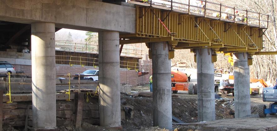
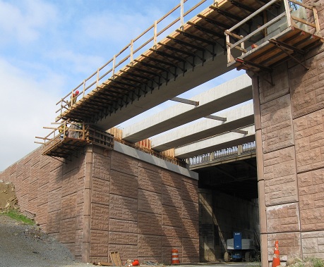
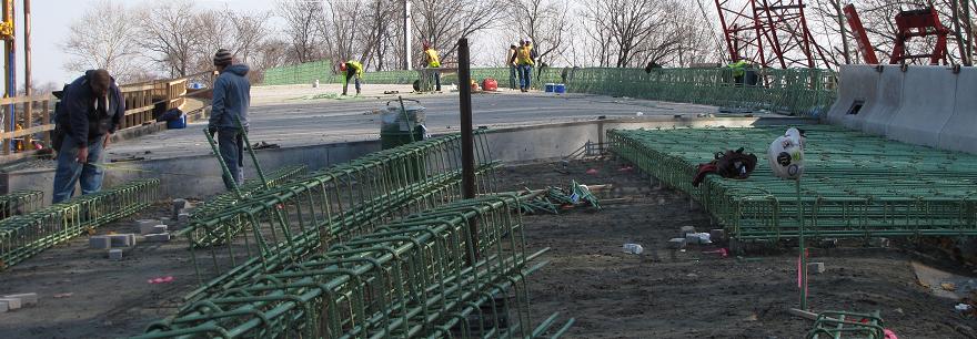
Courtesy HNTB Corporation, these photos start at the at the eastern end of the new bridge (over the western railroad) in November 2010 and head west until they're across the river and on top of Blackwell St. In just five months, the old bridge is gone and half of the new one is nearly complete.
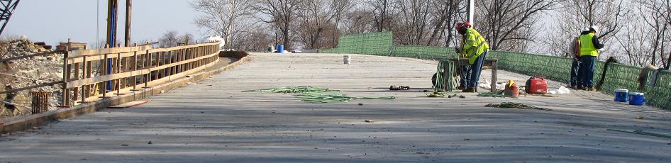

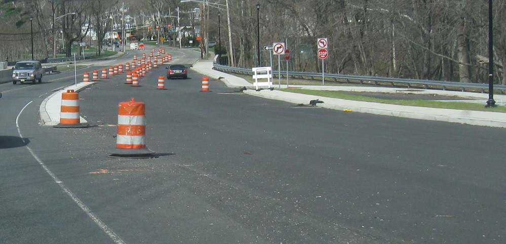
Starting from the Blackwell St. junction and up across the bridge while it's under construction. The water truck is up there to keep the drying concrete irrigated while it cures, which is a good sign as it indicates the little missing piece behind it is all that's left. The last photo is of the eastern bridge, the one that's being built while US 46 is still open next to it, and the temporary signals belong to NJ 15. The little stub of open 46 west of 15 is good for entering the Chevy dealer's driveway - and for water trucks on unfinished bridges, of course.
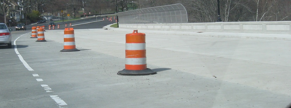
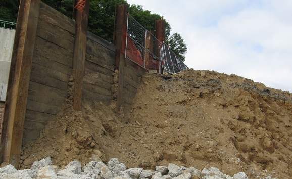
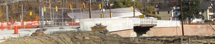
Heading west in March 2012, the new bridge is half open and the old WB ramp to NJ 15 is gone, leaving the stone wall.
Oversize novelty shields appeared on US 46 WB in 2013.
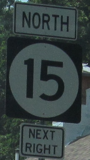
The northwest intersection corner in Rockaway sports worn signs with a classically unique font.
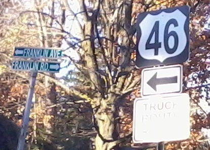
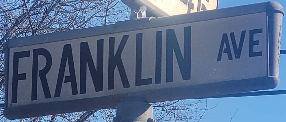
Now to Denville, Franklin Rd. NB at Franklin Ave., clearly a popular name around here. That neighborhood must be named Franklin.
 WB.
WB.
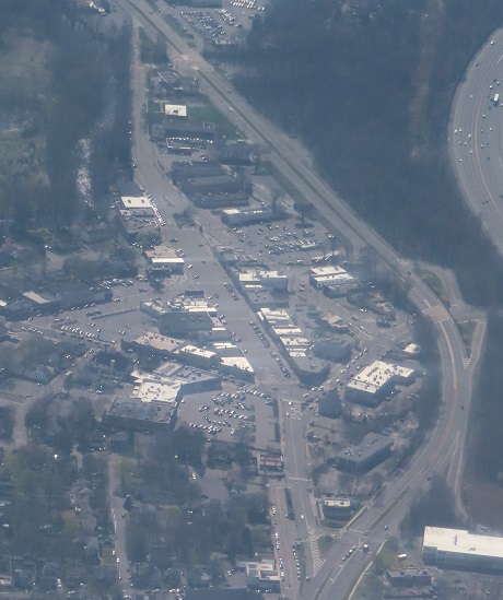
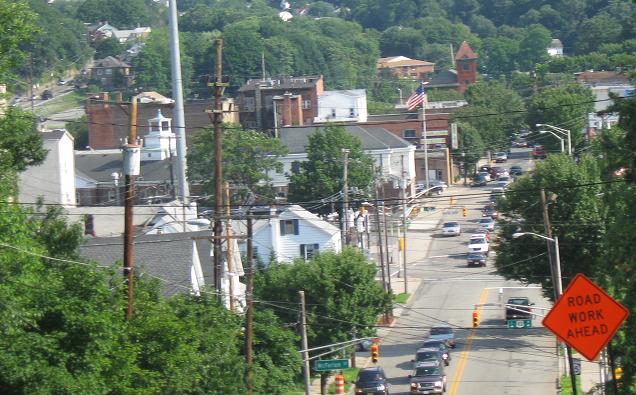
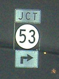
The entirety of Denville from above, looking east. US 46 comes in from the bottom and splits from its old alignment. From there, the wide straight Broadway you see is the "new old alignment." The "old old" alignment curved right, with Broadway not yet in existence, and then turned left on Bloomfield Ave. right before the interchange at right center. That is why NJ 53 begins at that intersection. The old alignments come together as they head east, and then come back to modern US 46 at the very top of the image. With I-80 to the right, you've got four generations in a single photo!
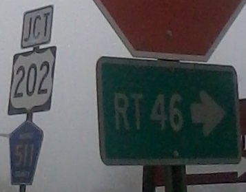
Original signs remaining in the shopping center on the southwest corner of US 46 and US 202.
This WB sign at US 202 is original in a sense but thankfully short-lived.
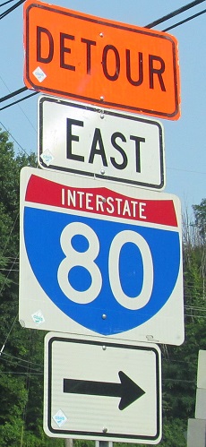
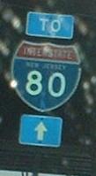
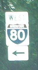
Is this original? This part of I-80 opened in 1968 so the sign on the US 46 WB ramp that merges into I-280 WB is probably 2nd-generation but still old enough to click for closeup.

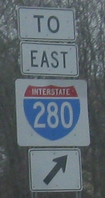
A WB gem under I-287, a RIDOT mistake WB at Beverwyck Rd., and New Road NB, where TO EAST I-80 should have a right arrow for US 46 EB.
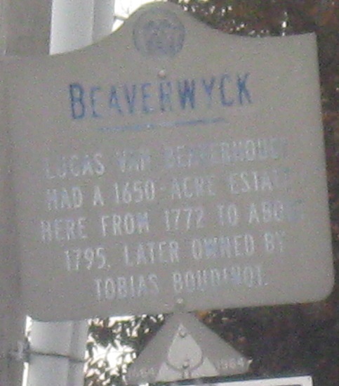
Speaking of Beverwyck Rd., this tercentennial sign is EB and points to a historical spelling change.
More RIDOT, WB on US 46 at the new New Road SB ramp. Yes, new New. Construction has been taking a couple of years at a highly traveled intersection, but hopefully there will finally be enough lanes. Well, New Road needs to be four lanes between US 46 and I-280, but this is a start.
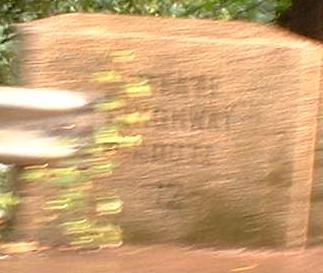
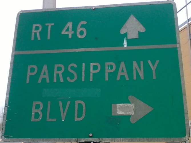
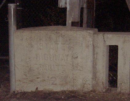
If 5N is the first-generation number for NJ 53 (visit that page, linked at bottom, to understand that reference), then 12 is the 0th-generation number for US 46. In the general Denville area, NJ 5/NJ 12 was a 1910's/1920's multiplex whose route is still largely traceable. East of there, US 46 follows this original NJ 12 routing fairly closely. NJ 12 thus ends up on Bloomfield Avenue here in Montville, where this bridge was among the first New Jersey State Highway Department projects ever (1922 for this one). There are very few relics left from this era with the SHR number stamped in, and this one's gone thanks to New Road construction.
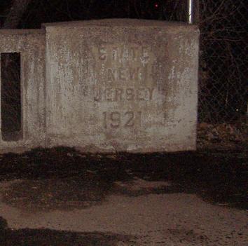
Here's another one, and this time you can even see how old it is. It's at the far eastern end of Bloomfield Ave. in Montville, a short but untraversable distance west of where NJ 159 starts the most important stretch of Bloomfield Ave. (to Bloomfield itself and ultimately Newark). These are the northern side of the bridge.
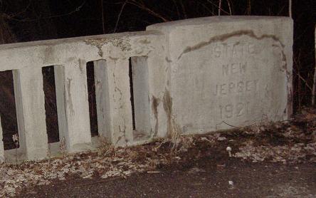
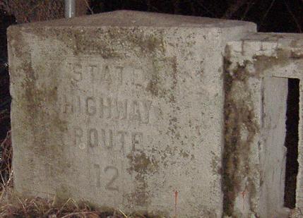
And the southern side of the bridge. There's no traffic here except to the junkyard at the end of the road, so this bridge may be here for quite awhile yet.
Short-lived errors approaching NJ 159 (Bloomfield Ave.).
EB just past Plymouth St./Clinton Rd. (the latter is NJ 159, another old routing for US 46).
After the Bloomfield Ave. (NJ 159) merge, these westbound state-name shields are on the right side of the road inside the Hook Mtn. Rd./Chapin Rd. jughandle and then in the grassy median approaching New Rd.
Westward on US 46
Eastward on US 46
Back to US 46 main page
NJ 159, old US 46
Onto NJ 15
Onto Beverwyck Rd., Morris CR 637
Onto NJ 53
Onto US 202
Onto CR 511
To I-280
To I-80
Back to New Jersey Roads
Back to Roads