New Jersey Roads - US 1-9 NB
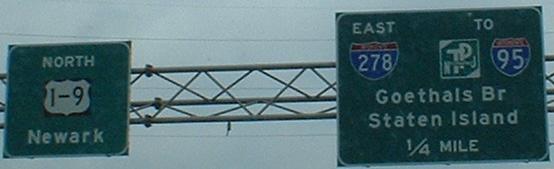
These old railroads cross at Ave. C in Linden and Magnolia Ave. in Elizabeth. Between them is the beginning of I-278. Follow the I-278 link at bottom for information on how it was meant to continue to the west.
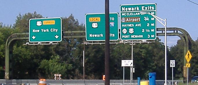
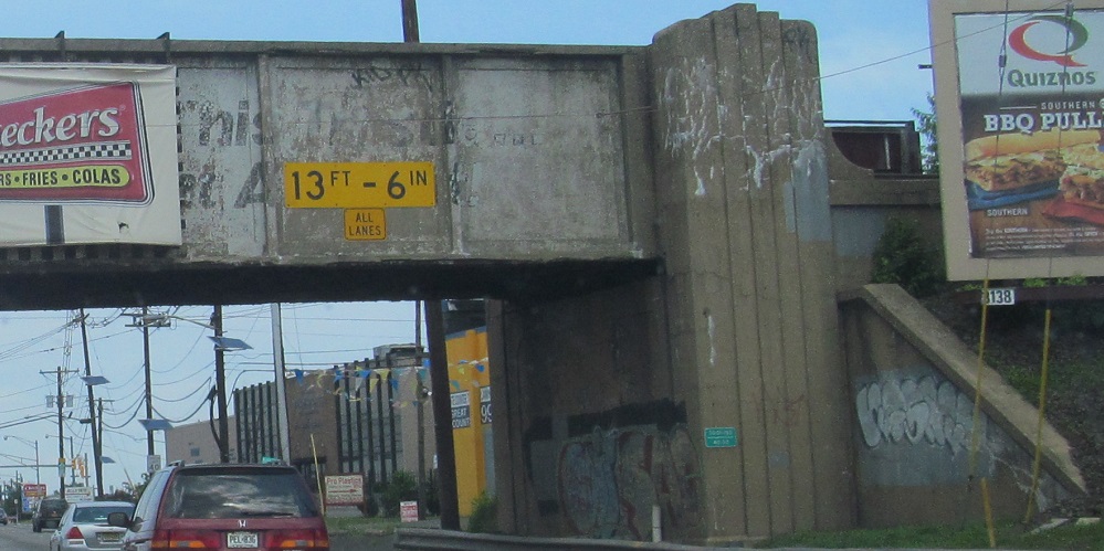
This sign support is older than anything I've ever seen in NJ, and probably dates from the construction of the NB lanes that pass underneath it. 1940's? 1930's? It has an Art Deco-ish look to it.
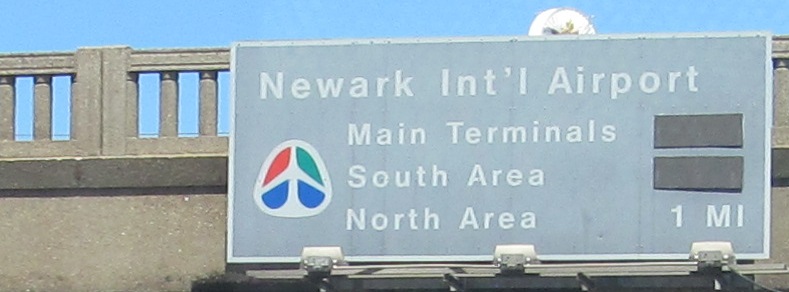
I just find the pale brown color for airport signage interesting; it exists at Logan in Boston, too. It was being phased out in the early 2000s when I found this, but it had staying power 10 years later. After the sign was erected, the covered airport ramps were pulled back to an earlier point in the 1990s, replacing what had been a direct exit from US 1-9 NB to the terminal area.
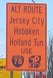
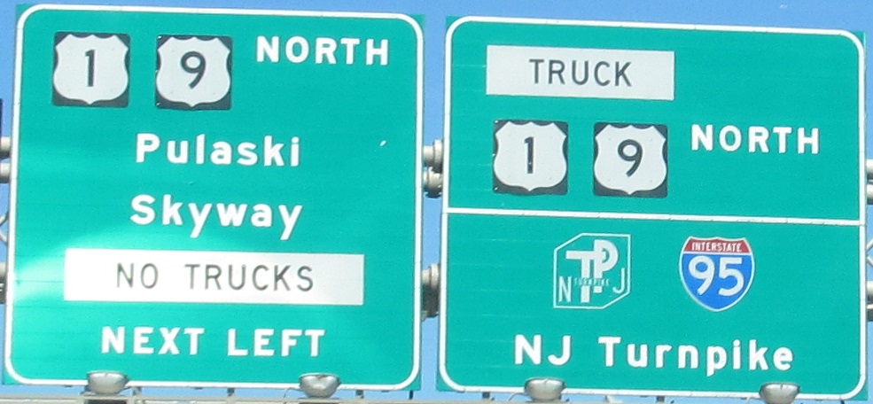
You can see that the Pulaski Skyway detour to points east involves I-78, and this is the only place you may ever see a black-on-orange Turnpike shield. (Interstate is only slightly less rare, but there are more of them.)
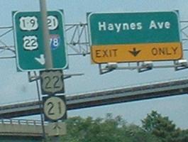
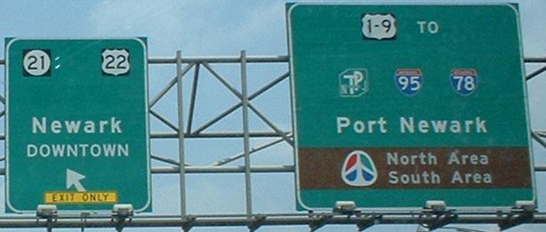
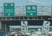
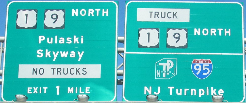
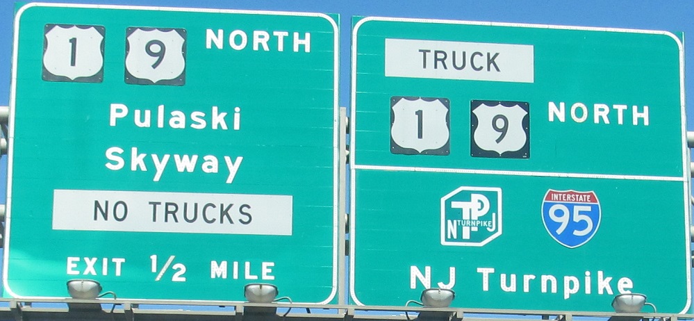
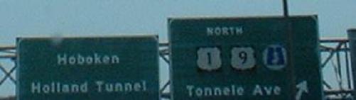
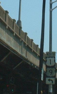
Okay, the first sign isn't so bad, it even has cool old shields. In the next couple of signs, some of those shields could stand to be a little larger, especially when traffic's moving 65-70 MPH. Also, that EXIT ONLY, while it's only for construction purposes, is pretty useless when you can't read it. Of course, when you get to the case where arrows are on top of shields, and you can barely read the numbers, that's worse than useless. In the background of that last pic, you can see the size of shields on new signs versus normal shields on slightly older signage.
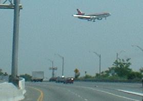
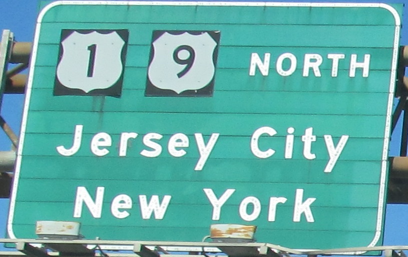
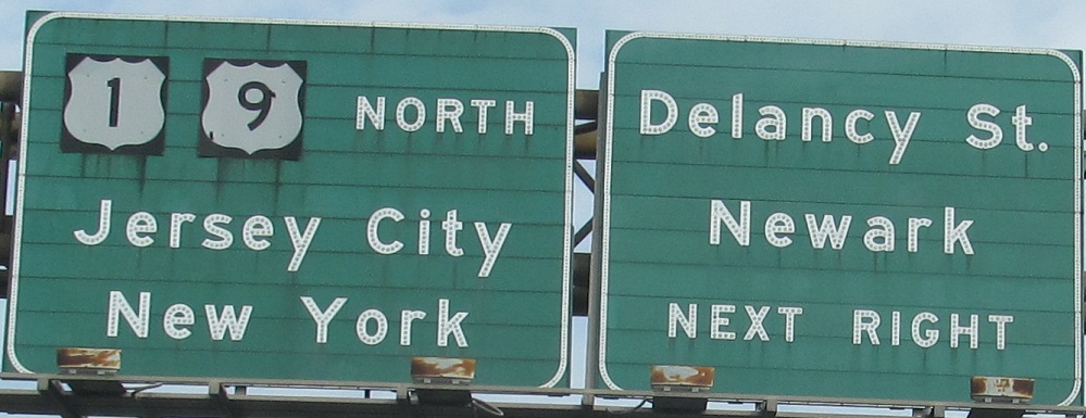
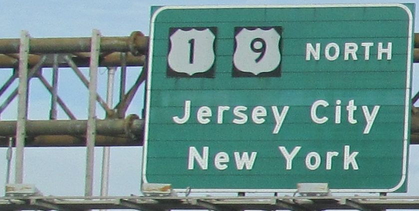
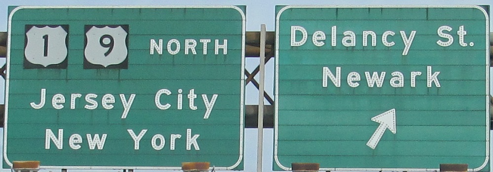
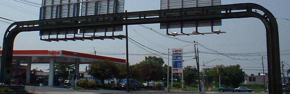
Views from the elevated freeway north of Newark Airport, with the 3rd-4th and 5th-6th photos representing left (Express) and right (Local) pairs on the same gantry. The SB side was the original 4-lane two-way freeway through this area, and the NB side ended up being built several blocks away, but then the SB side was rehabilitated, making this actually the older side. The second view gives you an idea of how close we still are to the airport.
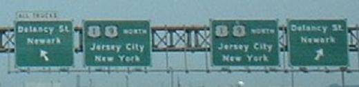
Back when I first started photography, the left exit from the Express lanes to Delancy St. was still open. The only exit from the Express lanes for trucks is now down at I-78.
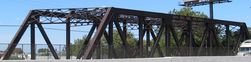
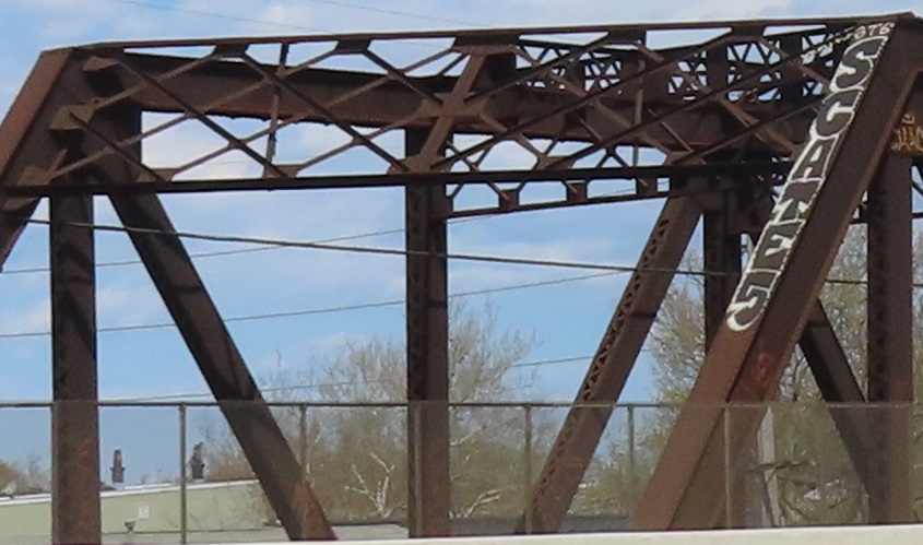
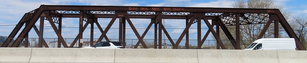
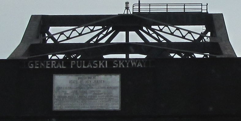
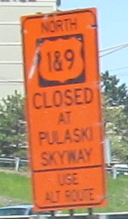
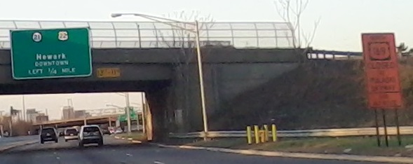
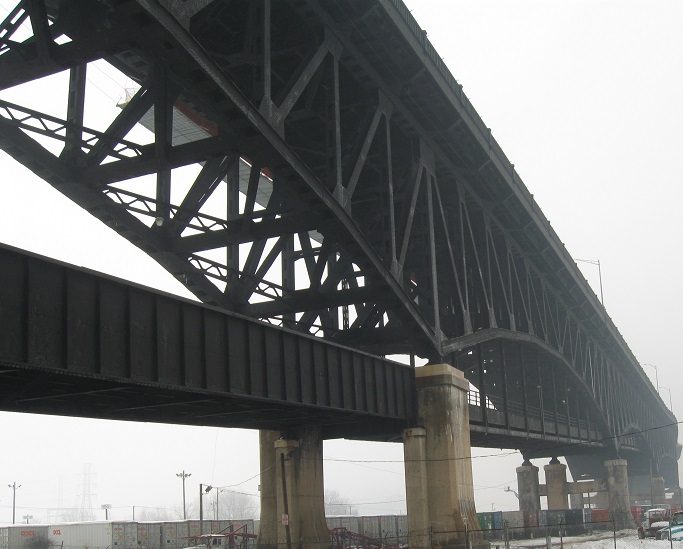
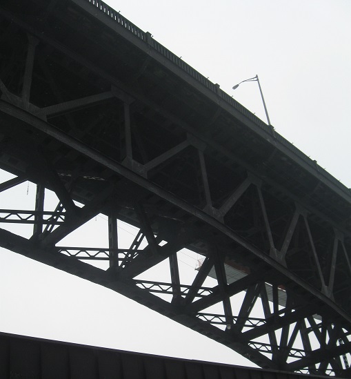
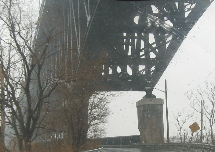
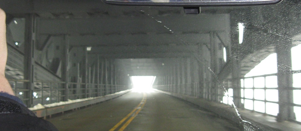
North of the airport, the express lanes take you onto the Pulaski Skyway with no way off until Jersey City, but the local lanes both go to US 1-9 Truck, with a left exit that merges into the two express lanes just before they rise up above the world. More lanes are definitely needed, but the Skyway, built in the 1930's, is not expandable or duplicable. And that railroad just to the west does constrain things a bit down here.
The only other way than US 1-9 onto the Skyway is from Central Ave. in South Kearny. Photos head north on Central, then loop a block to the west to get onto the ramp. The two skinny lanes come up in the median of the Skyway, resulting in a terrifyingly short left merge into traffic doing 70 mph or, SB, a terrifying dip into the ramp from a 70 mph left lane with no deceleration space. Oh, and the ramp pavement is horrible.
You know, that last sign doesn't really help unless it has Port Authority-style flashing arrows to tell you which crossing is better at any given time.
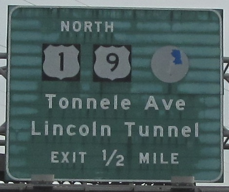
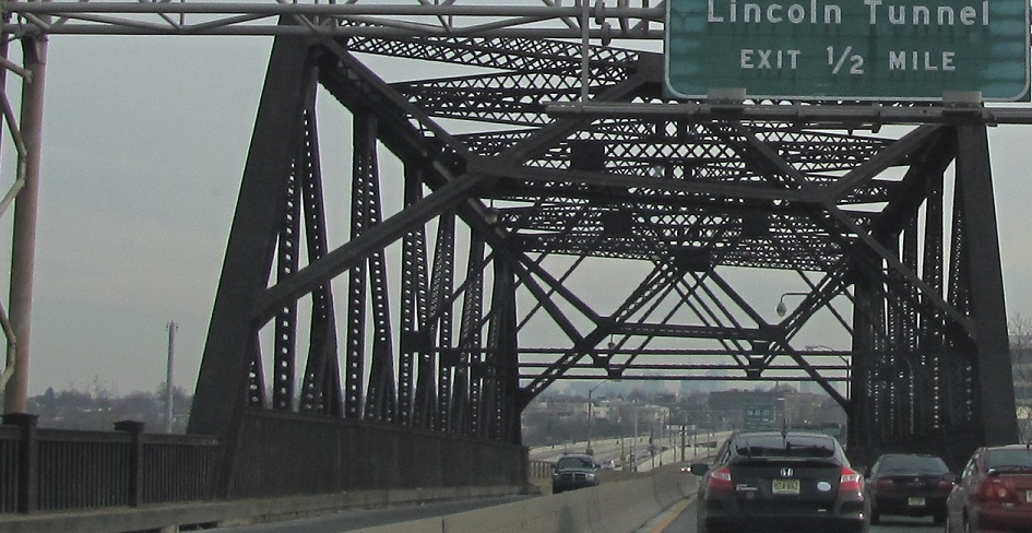
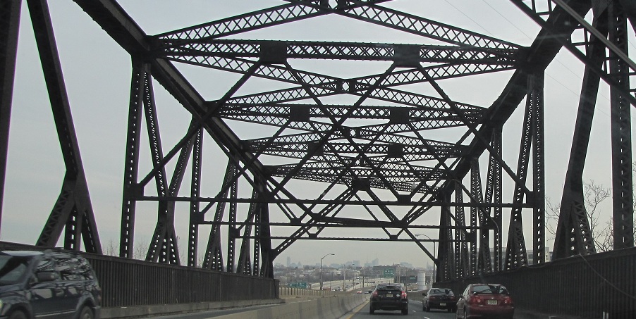
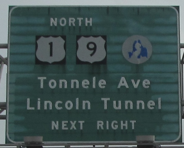
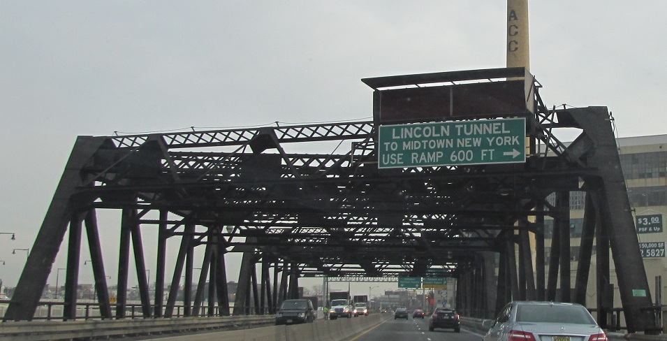
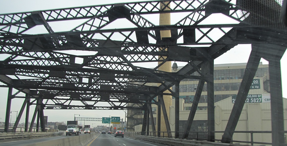
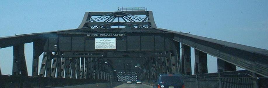
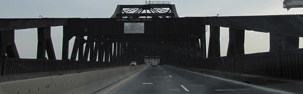
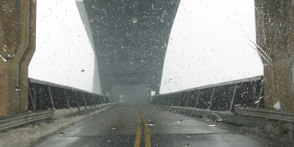
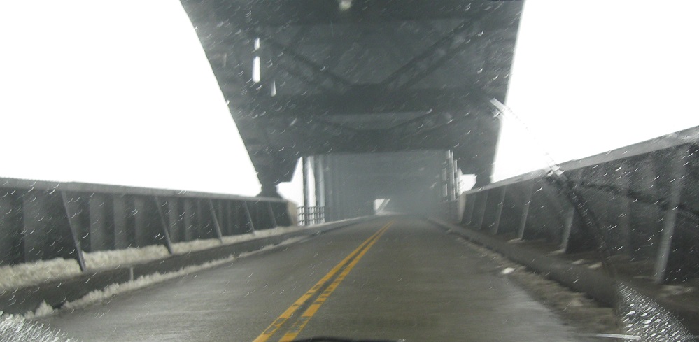
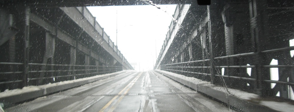
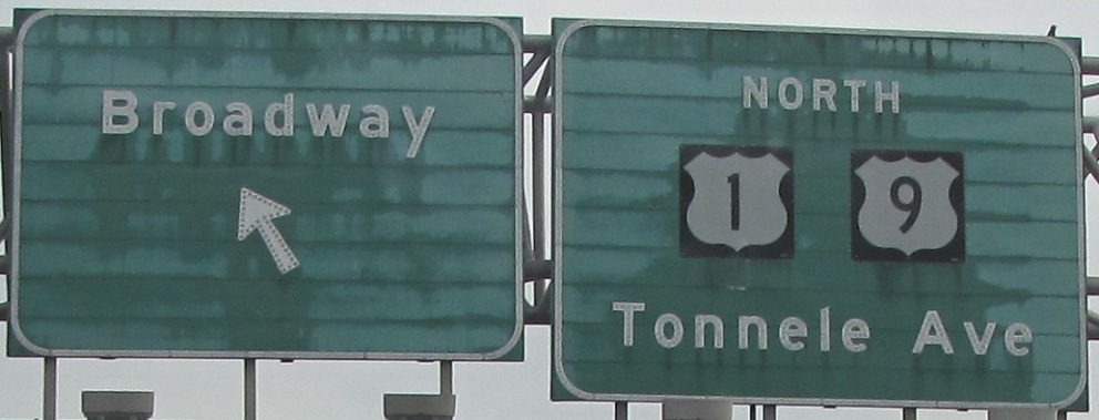
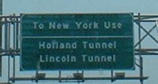
The full run of signage and remaining trusses on the Pulaski Skyway, including one of the inner ramps that lead down to the ground dozens of feet below (inner ramps were easier to construct, as they're a single structure leading down). It's interesting how US 1-9 exit from themselves, and are signed to the Lincoln Tunnel. The LT movement is accomplished via the beginning of NJ 3 and a ramp from WB 3 to EB NJ 495.
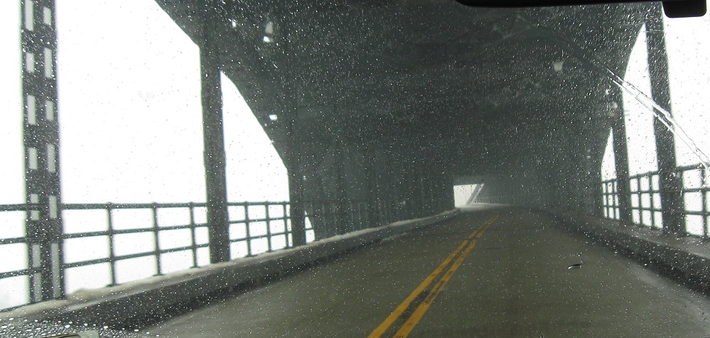
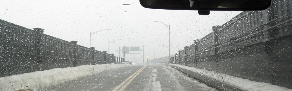
A view of the descending Skyway as it transitions into NJ 139 Lower Level (there is no exit for upper level from here), and old shields pointing the way north toward the Lincoln Tunnel and George Washington Bridge.
Control your pets! This sign should be exterminated.
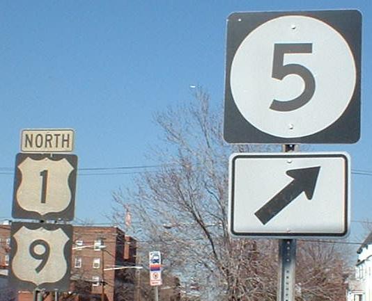
The beginning of NJ 5, just south of US 46, including an overhead with a two-digit shield on a three-digit background. US 1-9 is/are poorly signed here, at least NB, so much so that its/their turn onto the 46 freeway isn't signed at all. These are the only shields you'll see in the area, and they date from 1963 (obviously, the NJ 5 shield is newer). See the SB page for their counterparts; these are now gone, but SB still stand in 2008.
Courtesy Bill Mitchell, this 2001 assembly pointed the way for US 1-9 traffic at US 46, but it fell (or was stolen) very quickly. This assembly should have had an EAST 46 as well, and there should have been one on the other side of the overpass for WEST 46 and SOUTH I-95. Dig the state name - no wonder someone took it.
Over to the SB lanes
Construction of US 1-9 connector to US 1-9T
Northward on US 1/9/46
Back south on US 1 NB
Back south on US 9
Onto US 1-9 Truck
Back to US 1-9 main page
Onto I-278
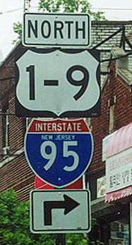
To I-95, the NJ Turnpike
Into Newark Airport
Onto I-78
Onto NJ 21
Onto US 22
Onto NJ 139
Onto NJ 5
Onto US 46
To northern free I-95
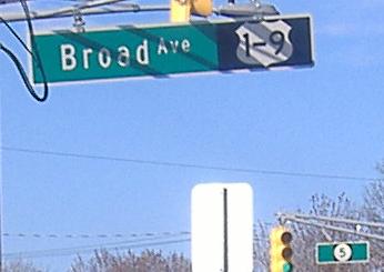
Continue straight on Broad Ave.
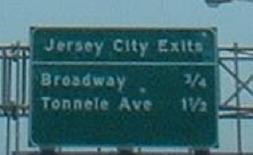
See more of Jersey City
Into Hudson County
Back to New Jersey Roads
Back to Roads