New Jersey Roads - Route Log - Ends - 37
NJ 37 Ends
37 was intended to start in Trenton and cross the state. Several segments were built under state contracts and inventoried as part of 37 until 1990.
Historic Western Segment - Original Western End
37 began in downtown Trenton where US 206 left US 1 (later US 1 Alternate) until 1953.
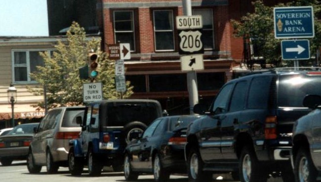
Historic 1 Alternate north/206 south where they split on Livingston St. 37 east began to the right along 206 south while NJ 27 followed 1 Alt. Taken 5/23/02 by David Greenberger.
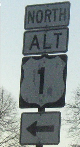
This sign points along historic 1 Alternate north/206 south toward the beginning of 37 from 1 Alternate south. Taken in 2005.
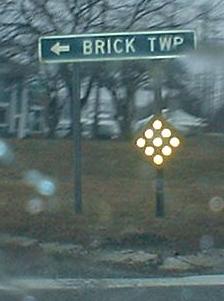
The first reassurance signage on signed 1 Business north/206 north leading away from the end of 37 west. Taken 6/23/02 by Chris Mason.
Historic Western Segment - Western End
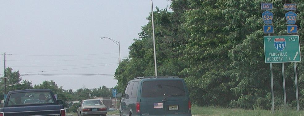
In 1953, 37 was removed from its multiplex with US 206 and began with CR 524 at the US 206/CR 533 White Horse Circle.
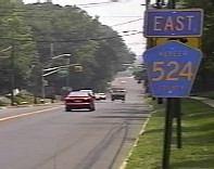
The first eastbound reassurance on 524/historic 37. Taken 7/2/2002 by Ray Martin.

524 west at 206 and the historic end of 37. 206 south is left, north is straight, and 533 north is to the right.

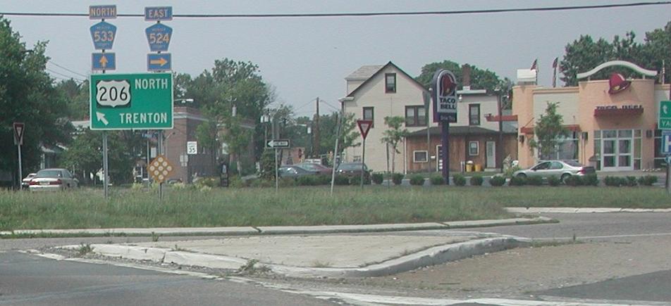
206 north at 524/historic 37 and 533. 5th and last photos were taken 6/23/02 by Chris Mason.
Just after exiting from 206 north; 533 is straight and 524/historic 37 is to the right. These signs are just off the right side of the second photo from Chris Mason. Taken 7/2/2002 by Ray Martin.
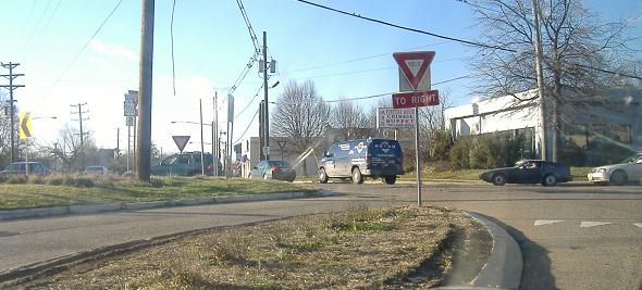
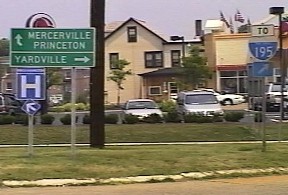
Inside the former White Horse Circle. The roadway on the left takes 533 south traffic (exiting right in this photo) to 524/historic 37 east. The roadway on the right (with yield markings) is the circle taking 206 north traffic to 533 north. The road bearing left leads back to 206.
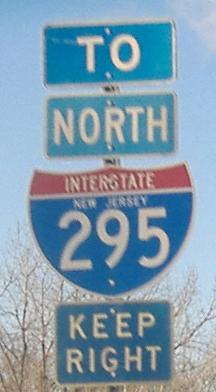
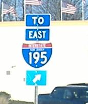
206 south at 524/historic 37 and 533. There are probably signs pointing 206 to the right and I-195 east straight. Taken 7/2/2002 by Ray Martin.

533 south ends at 206 and 524/historic 37. Taken 7/2/2002 by Ray Martin.
Historic Western Segment - Eastern End
37 was multiplexed with 524 across Gropp Lake before the designation ended. The 195/524 interchange was intended to accommodate a cross-state highway.
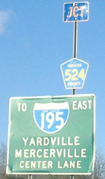
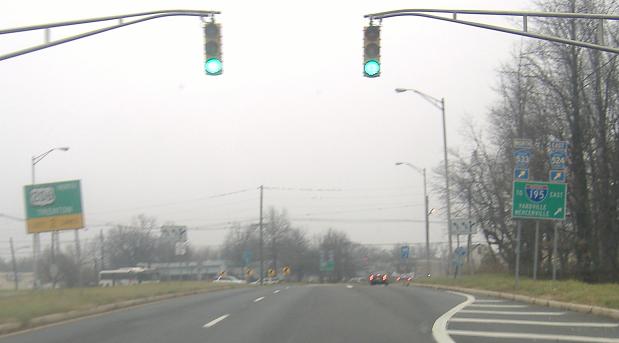
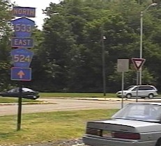
195 east approaching Exit 2 for 524/historic 37. Continuing east from the ramp would immediately cross Gropp Lake.
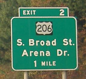
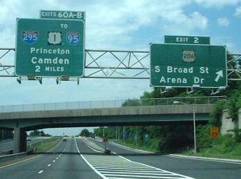
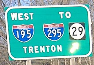
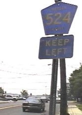
195 west at Exit 2. There is no ramp to head back east on 524/historic 37, but "206 - S. Broad St." would be 524/historic 37 west.
Historic Central Segment
37 began again while multiplexed with 524 around the Mercer/Monmouth County line. 37 crossed Doctors Creek with 524 and then ended again. To this day there is a State-built bridge over the creek. I do not have information as to whether this section of 37 encompassed anything more than the bridge and its immediate approaches.
Historic Eastern Segment
37 began yet again while multiplexed with 539 at Monmouth CR 27 near Cream Ridge, which is Arneytown-Hornerstown Rd. and a former alignment of what is now 539. It continued along the current alignment of 539 until Millstream Rd., just south of the southern junction with CR 27 (Hornerstown Rd.) and the return to the former roadway alignment.
Western End
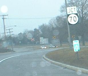
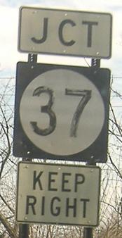
37 ends at NJ 70 in Lakehurst.
37 west at its end.
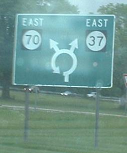
70 east at and in the Lakehurst Circle where 37 begins.
Eastern End
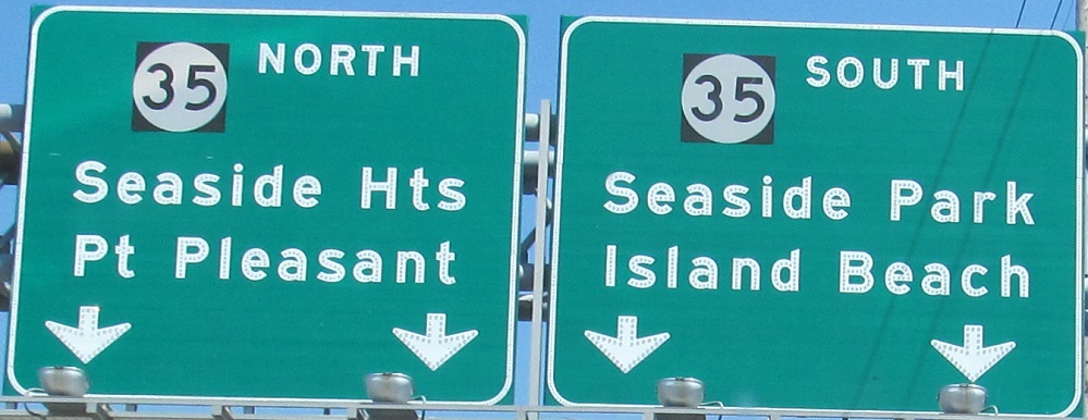
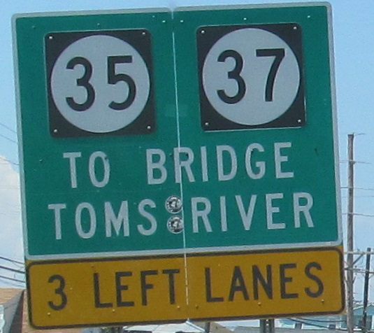
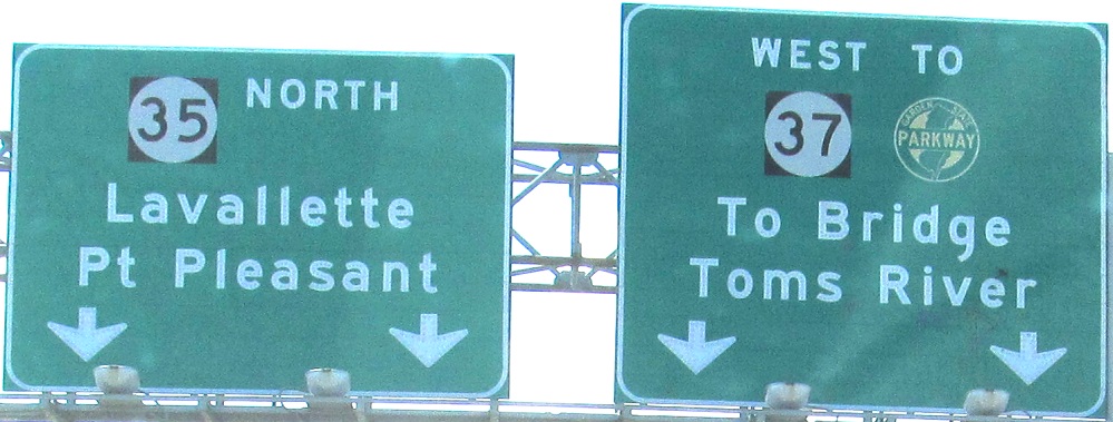
37 ends at NJ 35 at the southwestern corner of Seaside Heights.
37 east at its end.
35 north.
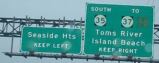
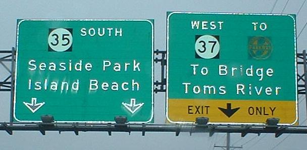
35 south.
Historic Eastern End
37 extended along Hamilton Ave. to Central Ave. in Seaside Heights, which was then the south end of NJ 35, from 1953 until 1958 when 35 was rerouted onto the downtown bypass.
Original Eastern End
Before 1953, 37 extended north to end along what is now NJ 35 at NJ 88.
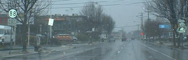
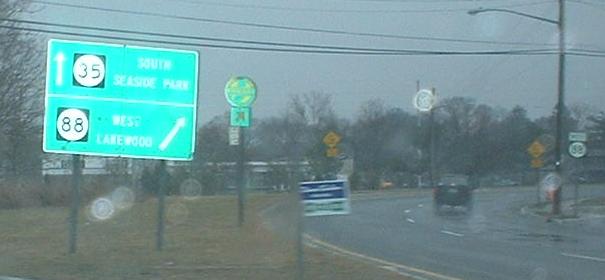
35 south at the circle where 88 west begins. Originally, 35 south turned right here and 37 west began to the left.
This was originally the mainline of 35 north, leaving what is now 88 east and using this ramp to head north on modern 35. 37 west began to the right.
Back to NJ Route Ends
Back to NJ Route Log
Back to NJ Roads
Back to Roads