New Jersey Roads - Route Log - Ends - 24
NJ 24 Ends
Before 1953, 24 was designated across the state but there was a gap of an unbuilt alignment from Penwell east to Long Valley. In 1953, 24 was redefined to absorb that gap.
Historic Western Segment - Original Western End
24 ended at the Pennsylvania state line on the Northampton Street Bridge in Phillipsburg until 1941. Based on historic practice of multiplexing routes to state lines or important junctions, I believe 24 and 28 were both signed to end together. (The roads in Phillipsburg were not state-maintained, so I do not know definitively.)
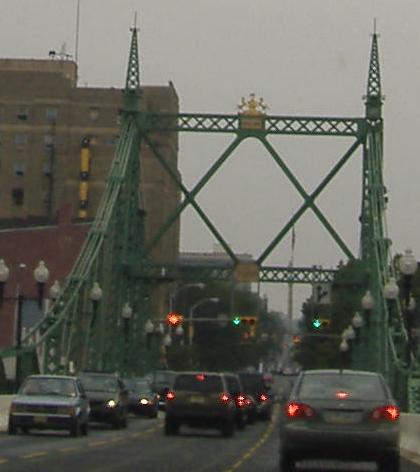
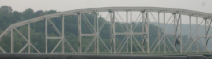
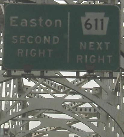
Historic 24/28 west ending along original US 22 west into Easton. The bridge carries three lanes, so the center lane becomes a left turn lane halfway across the bridge for each direction.
Looking northwest from South Main St. (former 28) at the bridge. 24/28 west ended midspan.
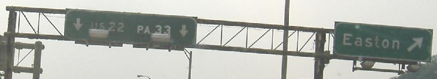
Looking northeast from Pennsylvania at the bridge and the historic beginnings of 24/28.
Historic Western Segment - Western End
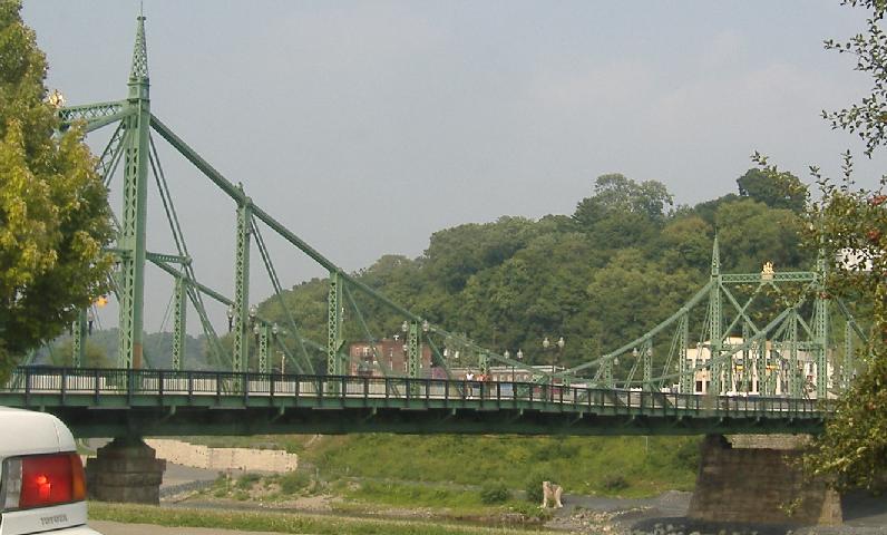
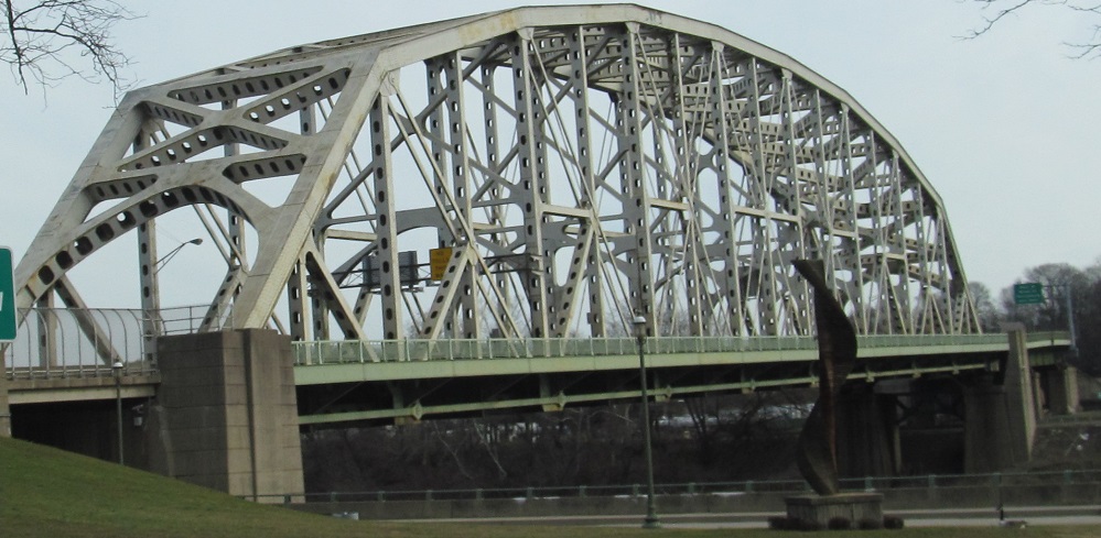
24 was rerouted to end along US 22 at the PA state line on the Easton-Phillipsburg Toll Bridge from 1941 until 1953.
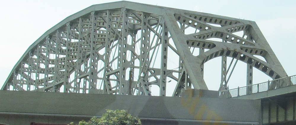
22 enters Pennsylvania approximately midspan as historic 24 ended. The second photo looks west fron NJ.
Looking east from Pennsylvania.
22/historic 24 west approaching and across the bridge.
Original Western End
24 ended in Lopatcong at the west end of what is now 57 until 1969, when it was truncated to Hackettstown.
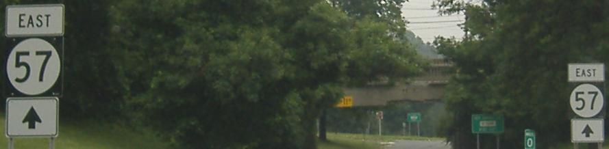
This was 24 east leaving US 22 east.
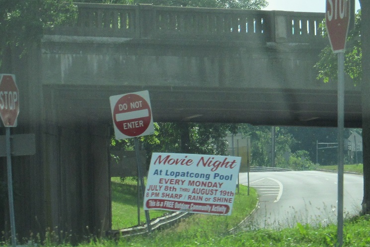
Looking west at what was the 24 east/22 east split. 24 east headed toward the camera under 22 west.
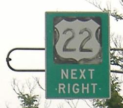
22 east approaching the historic beginning of 24.
Historic Western Segment - Eastern End
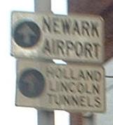
24 ended in Penwell and became NJ S24 east. 24 was intended to follow a new alignment east to Long Valley that was never built.
Historic Western End
24 ended in Hackettstown at the junction of 57 and NJ 182/CR 517 until 1992, when the freeway was completed and it was truncated to its current alignment.
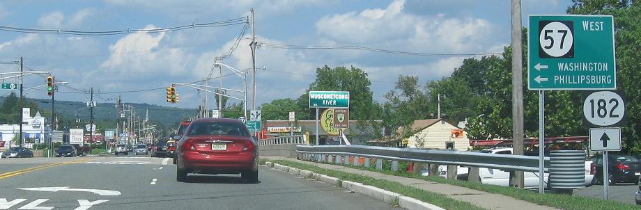
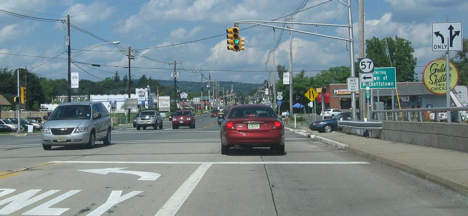
24 west ended along 517 north at the beginnings of 57 and 182.
182 south ends and 24 east began along 517 south past the end of NJ 57.
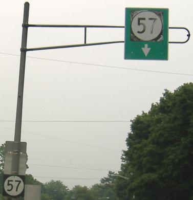
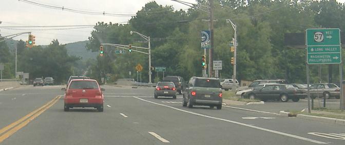
57 east approaching 182/517. 24 used to begin at this point, but signs appear to be more recent than the removal of 24 from 517.
57 east where it ends at 182/517. 24 began to the right with 517 south and 182/517 north is to the left.
Historic Eastern Segment - Western End
Until 1953, the eastern segment of 24 began along what is now CR 513 in Long Branch at CR 517. After 1953, 24 came from the north along 517 to this point.
513 south/historic 24 west at 517, warning of the hill.
Western End
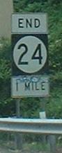
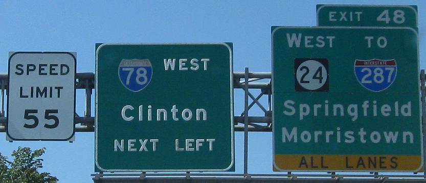
24 ends at I-287 in Hanover.
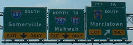
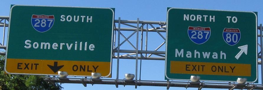
24 west splits into ramps to 287 north and south. The beginning of the ramp to 287 south was intended as a western continuation of the freeway.
24 east begins along the ramp from 287 south. The ramp was since widened to two lanes.
287 north.
287 south.
Eastern End
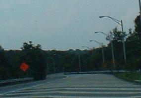
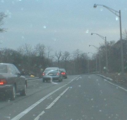
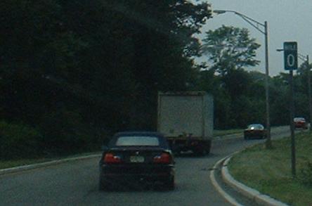
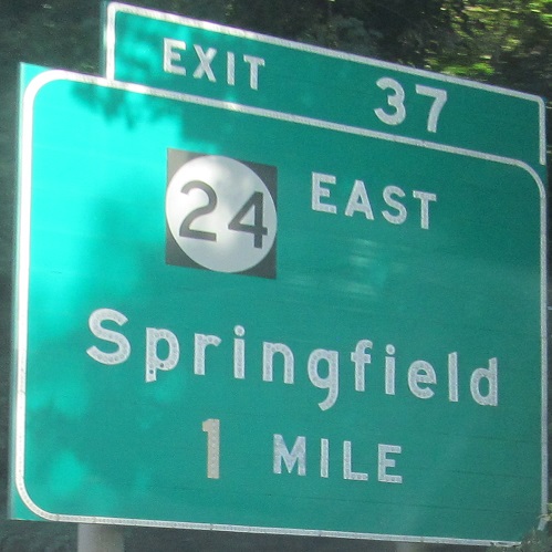
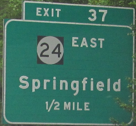
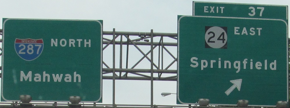
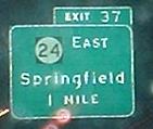
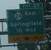
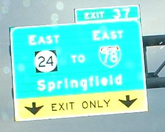
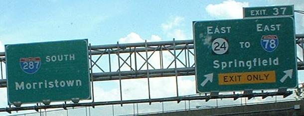
24 ends at I-78 in Springfield.
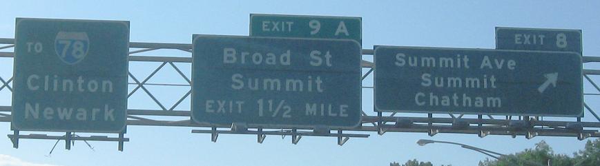
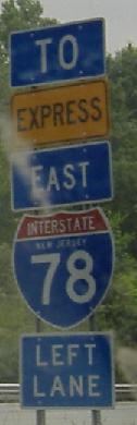
24 east nears its end at 78, where it splits to Express and Local lanes.
78 west.
78 east in the 1980s, an early advance sign for the split to Express and Local lanes. 24 begins as an exit from the Local lanes just after they begin. Photo taken by Anthony Simon.
Historic Eastern End
24 ended at the Maplewood/Irvington border at the east end of what is now 124 from 1953-1974, when it was shifted onto the southeast end of the current freeway alignment.
The continuation of historic 24, Essex CR 603 east along Springfield Ave. as it enters Irvington.
Historic Eastern Segment - Eastern End
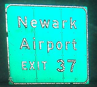
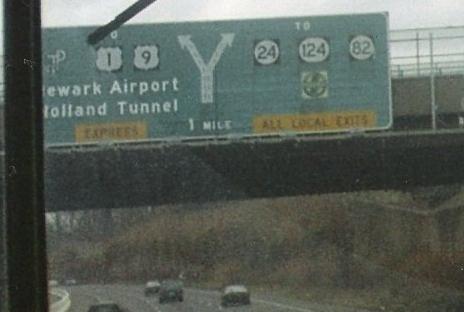
Until 1953, 24 extended into downtown Newark and ended along Market St. at Broad St.
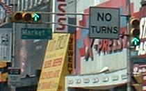
Broad St. south, original US 1/US 9, at Market St. 24 west began to the right but there are now no turns allowed.
Back to NJ Route Ends
Back to NJ Route Log
Back to NJ Roads
Back to Roads