New Jersey Roads - Route Log - Ends - US 1 Truck/US 9 Truck/25 Link
US 1 Truck/US 9 Truck and Historic NJ 25 Link Ends
25 Link was assigned to the Pulaski Skyway upon completion. Sometime around when trucks were banned in the 1930s, NJ 25 was moved onto the Skyway to replace it.
Southern End
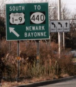
1/9 Truck ends at US 1/US 9 in Newark.
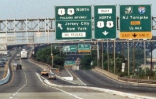
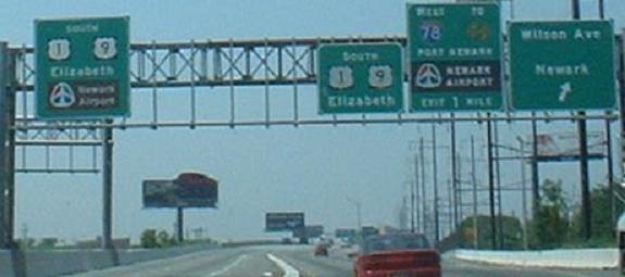
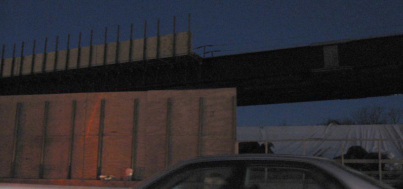
The beginning of 1/9 Truck from the local lanes of 1/9 north. Originally, 25 north exited the Skyway, likely with US 1/US 9 as well, and 25 Link began ahead on the Skyway. The final photo was taken 6/14/01 by David Greenberger.
Ferry St east, which turns into 1/9 Truck (and was part of the original Lincoln Highway).
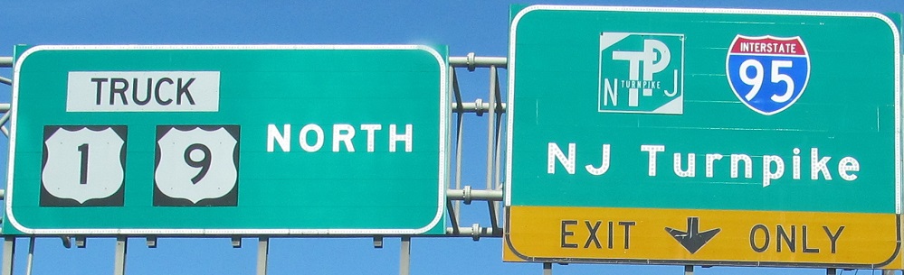
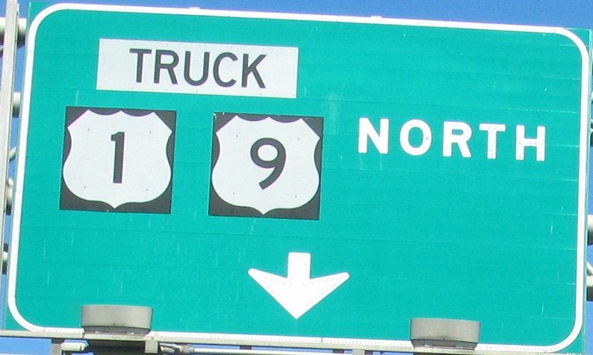
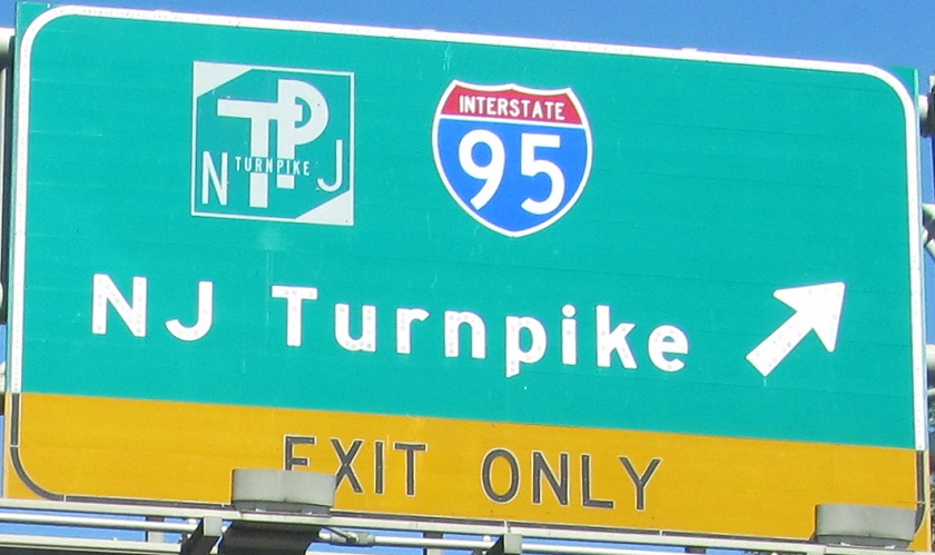
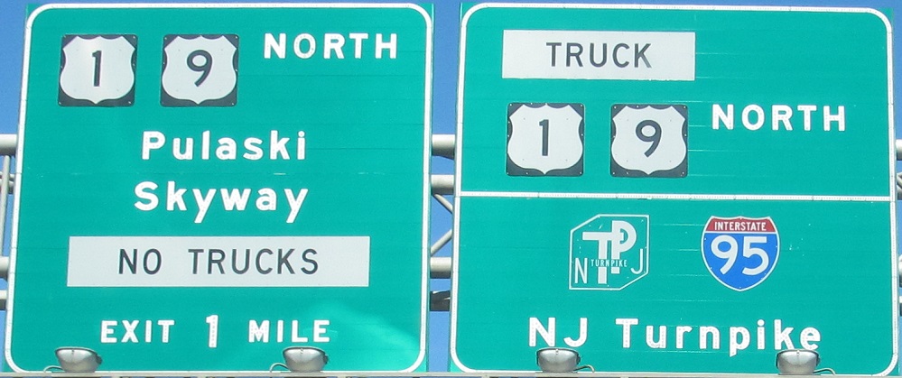
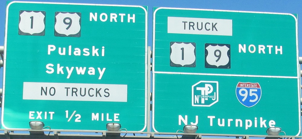
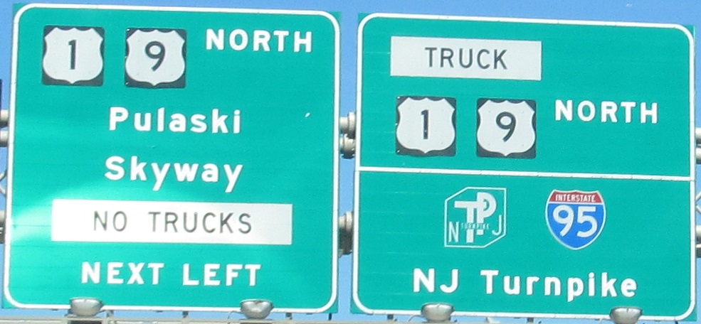
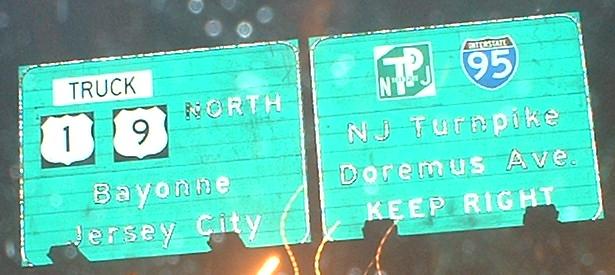
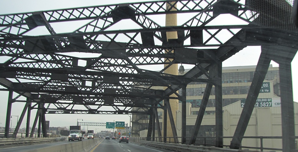
1/9 Truck north just after exiting from 1/9 north.
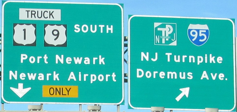
1/9 Truck south underneath 1/9 (Pulaski Skyway). While the ramp to the right technically is still 1/9 Truck as signed, it becomes 1/9 upon merging with the local lane ramp from the Pulaski Skyway.
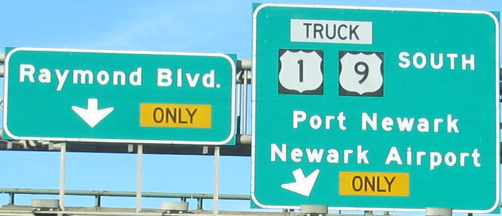
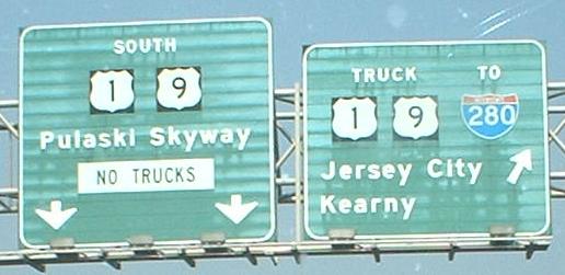
1/9 Truck south (original 25 south) end to the right where the ramp from 1/9 south (original 25 Link, left two signs) merges. This was originally a single carriageway in each direction.
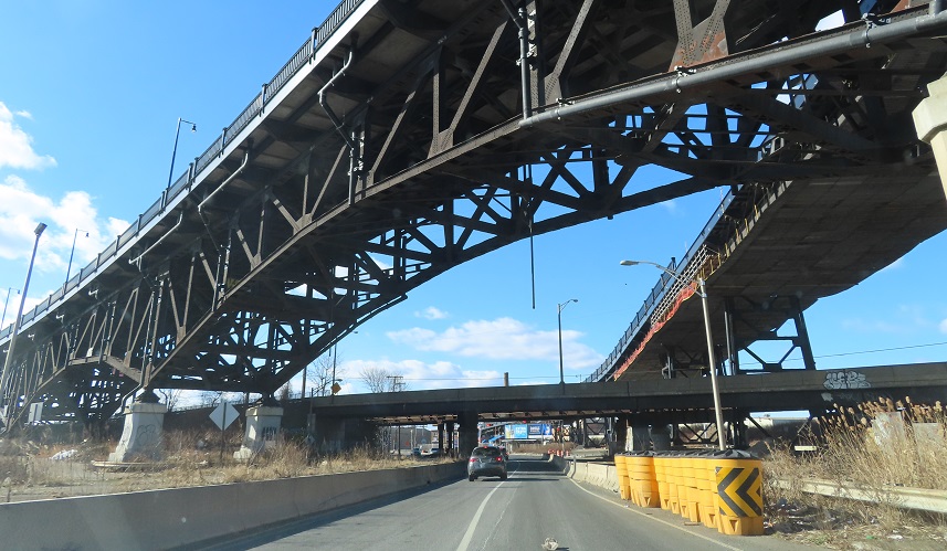
Raymond Blvd. west from 1/9 Truck under 1/9.
Historic Northern End
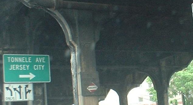
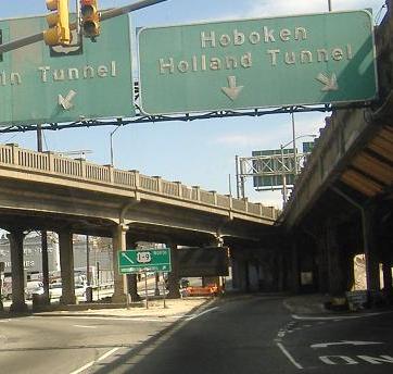
1/9 Truck ended at US 1/US 9 and NJ 139 (Tonnele Circle) in Jersey City until the Charlotte Circle flyover opened in 2011. Originally, 25 Link ended here on the Pulaski Skyway while NJ 1 followed what is now 1/9 Truck onto 1/9 to the north.
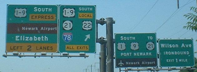
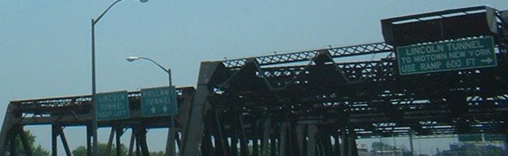
1/9/historic 25 Link north (Pulaski Skyway) at Tonnele Circle, where 25 Link ended and 1/9 now exits the Skyway as 139 begins and turns left onto Tonnelle Avenue (different spelling, same name). 1/9 Truck south began at this exit, but were unsigned because they ran in the opposite direction.
The ramp that carries 1/9 north into Tonnele Circle. 1/9 Truck north ended to the left.
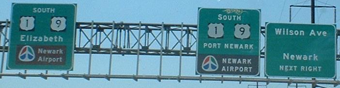
1/9 south at Tonnele Circle.
The pre-bypass 1/9 Truck north (left bridge) and 1/9/historic 25 Link north (right bridge) at the Tonnele Circle exit. The left bridge is now gone.
The former alignment of 1/9 Truck north and original 1/9/25 mainline at Tonnele Circle, now maintained as a ramp from realigned 1/9 Truck.
Just after 1/9 Truck south begins, at the split with NJ 7 west. This sign is gone with the reconfiguration of what was then the Charlotte Circle. Taken 12/27/01 by David Greenberger.
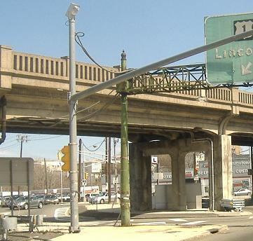
Northern End
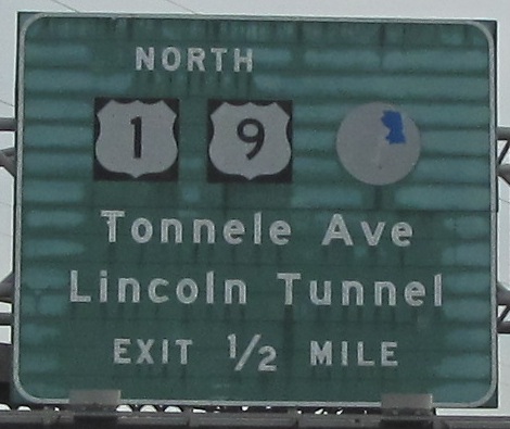
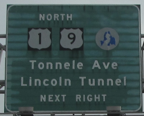
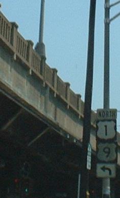
1/9 Truck end at 1/9 just north of Tonnele Circle.
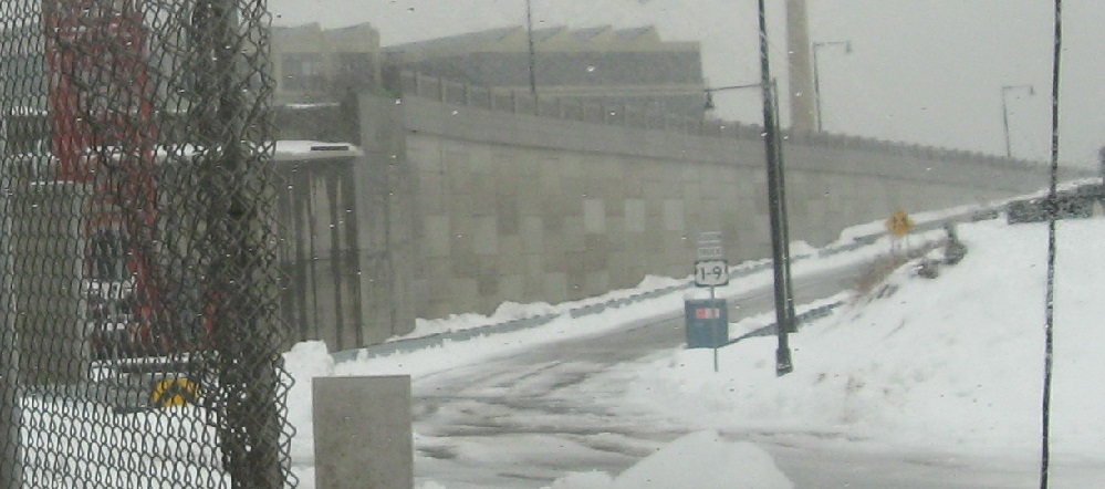
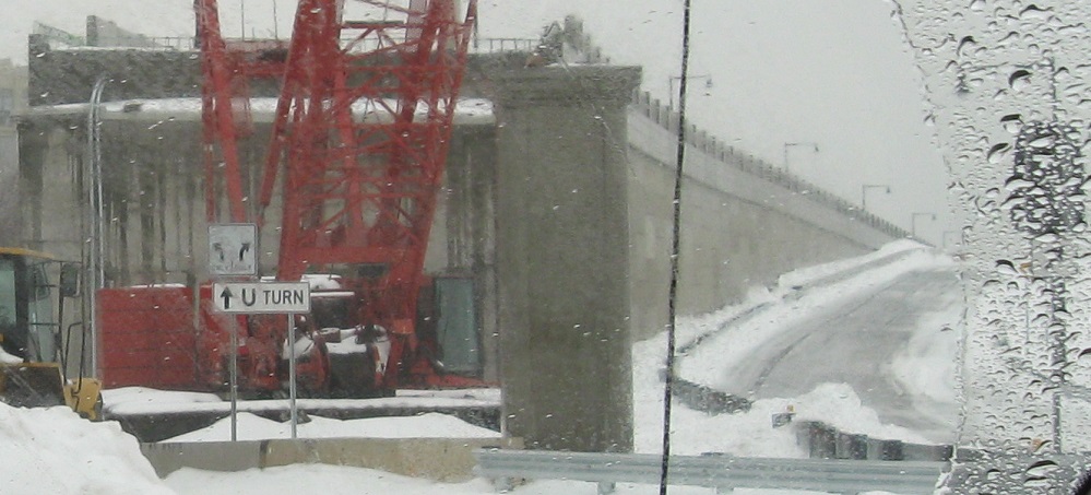
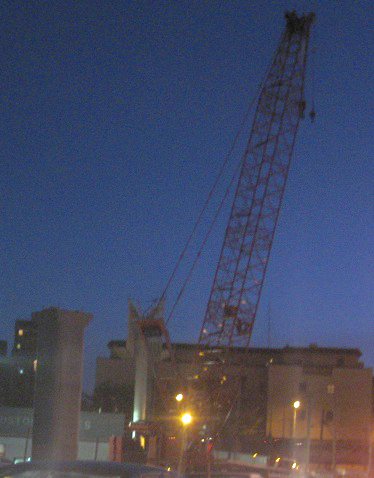
The ramp that now carries 1/9 Truck south from 1/9 south under construction. Photo taken February 2010.
1/9 south past the future beginning of 1/9 Truck south. 1/9 Truck north will be on the retaining wall rising to a structure over 1/9. Photos taken February 2011.
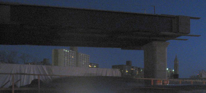
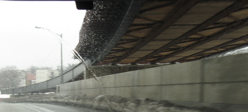
1/9 south under the future 1/9 Truck north mainline. It flies over and merges into 1/9 north from here. Photos taken February 2010.
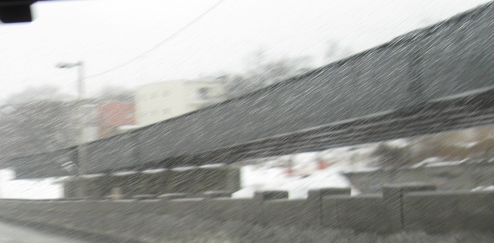
1/9 north under the future 1/9 Truck as it comes down to tie in. Photos taken 2/5/2011.
139 west above Tonnele Circle. This ramp was reconstructed to bypass the circle and tie into the new flyover from 1/9 south.
Back to NJ Route Ends
Back to NJ Route Log
Back to NJ Roads
Back to Roads