New Jersey Roads - NJ 495 EB
NJ 495 EB
Either NJDOT or the NJ Turnpike Authority, whoever owns the Exit 16E ramp from the NJ Turnpike to NJ 495, decided that having three of the exact same sign in a row would be sufficient for people to understand where they're going. Note the lack of black squares behind the shields, which used to be a sure sign of TP signage but now is sneaking into contracted NJDOT work as well.
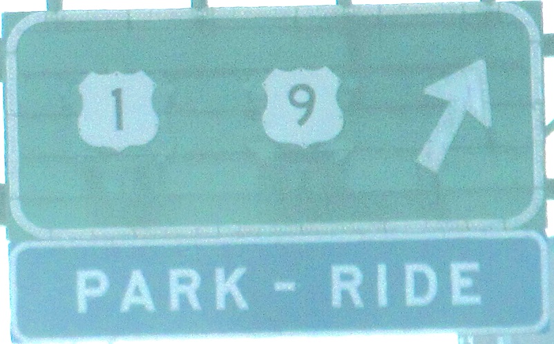
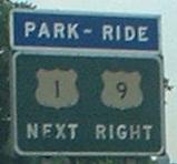
Go ahead, tell me that's a state route shield on this BGS (these are left and right on the same gantry) further up the Exit 16E ramp. I know better. I know that under that shield, which is clearly patched on as it has no black square background, there was and still is an I-495 shield in button-copy regalia. At the same time that NJDOT/NJTA committed this atrocity, they wiped out the old 1 and 9 shields on the BGS on the right as well. Those are completely gone. Shame.

Well, all hope is not lost. The original shields are still on the first BGS, and the second BGS is allowed to remain despite the fact that it's all text. Notice that NJ perpetuates the use of the word "Route" instead of "US". Anyway, this is not the exit for US 1-9 SB, but rather for the very end of NJ 3, which then flows into 1-9 SB. These signs bracket the previous one, but I need to tell the shield story.
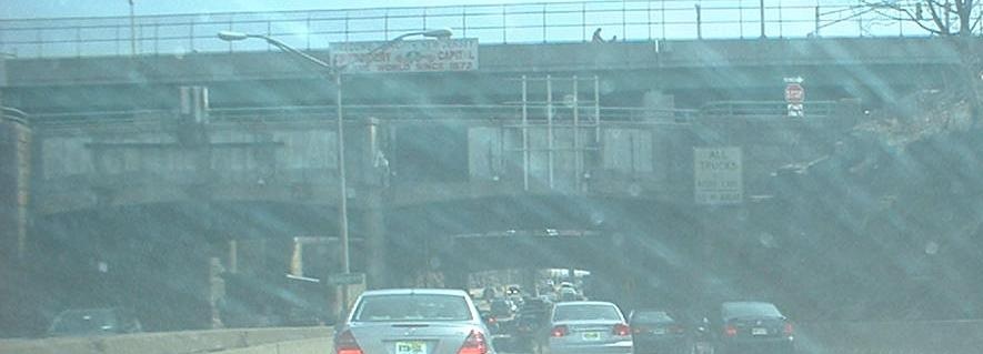
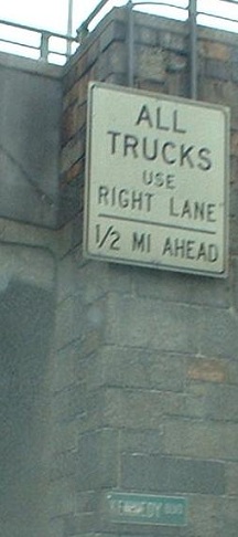
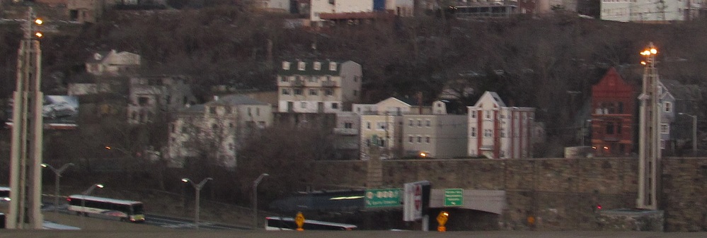
The first exit after traffic from NJ 3 has merged. The signs are all on the viaduct that climbs to the top of the cliff, but the exit is just barely on top, and after this 495 is entrenched. As you can see, all the bridgework in this area in stone, dating from when then-NJ 3 was moved from the Paterson Plank Road that still winds diagonally up the cliff. The only sign with Kennedy's initials is clearly the oldest.
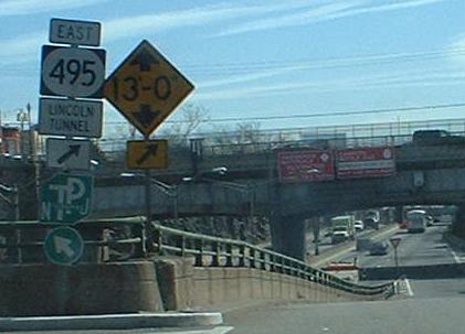
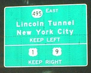
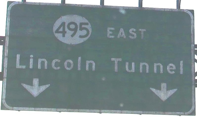
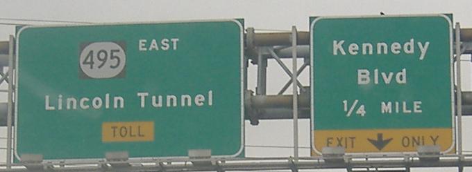
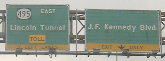
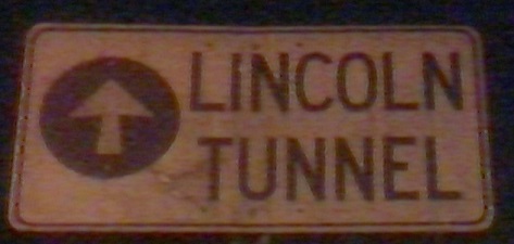
In the middle of the volleyball interchange (see WB page, link below, for what that is) that is the Kennedy exit, with an old LGS and a messy new assembly. Lincoln Tunnel should not be in a white square, and the 495 should be in an oval, not a rounded rectangle.
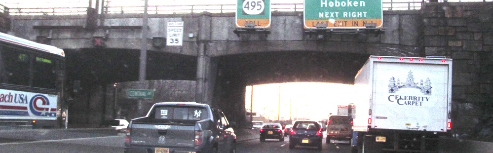
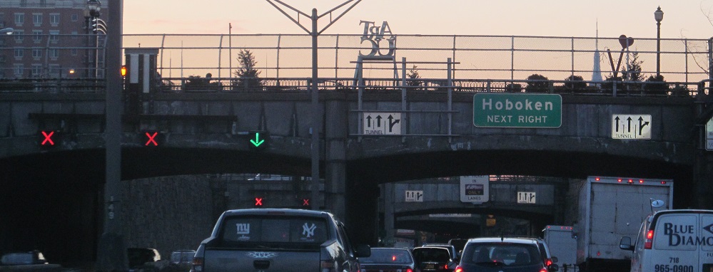
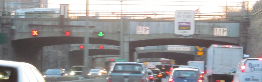
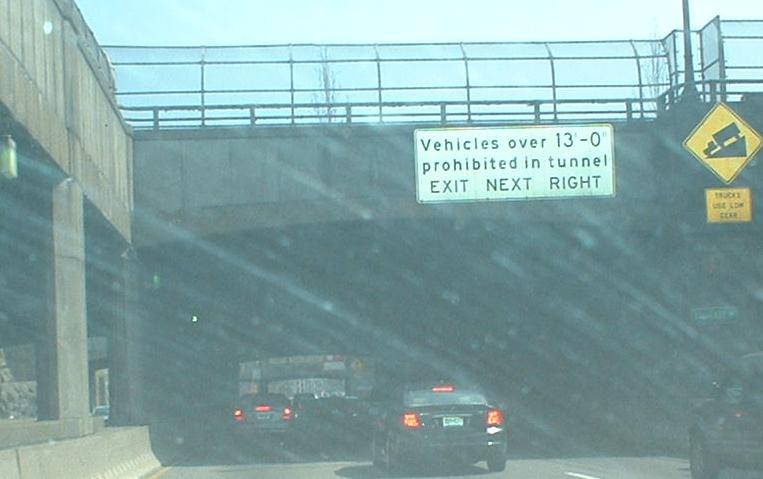
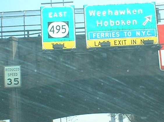
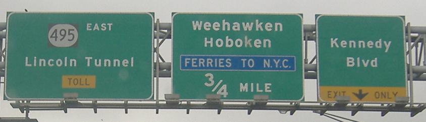
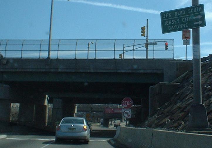
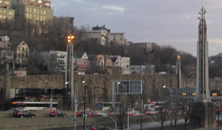
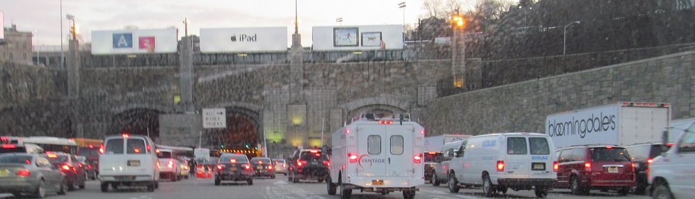
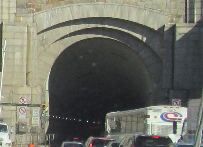
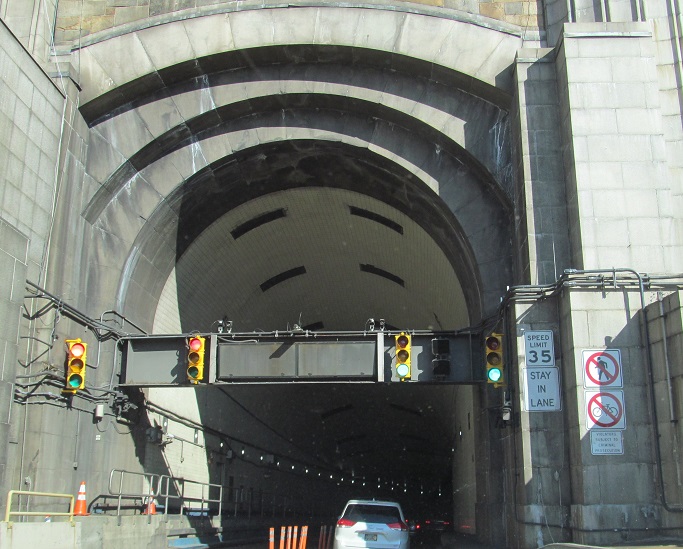
Unlike on I-95, when NJ 495 tells you this is the last exit in the state, you can believe it. Since there's also an alternate route to the Lincoln Tunnel to be found by taking this exit and making a right at the end of 495's frontage road, this exit gets awfully crowded. Motorists in the know take the Kennedy Boulevard exit and follow the frontage road from there, above the level of the freeway and at street level until it finally comes down the face of the hill. The NJ 495 BGS supports are so tall to accommodate the temporary post-9/11 restrictions on tunnel travel. I threw in a number of overpass photos so you can see how NJ 495 was trenched under Union City to minimize the height it had to climb over the Palisades.
What you see to the left of the first photo is the bus lane. For the morning commute, buses get the left lane of the WB roadway, involving manual setup and takedown of pylons every morning. A movable barrier system could help significantly here, especially in terms of safety, since the only protection from fast-moving outbound traffic is those pylons and a red X above the lane. During peak non-morning hours, most buses take Kennedy Boulevard in the manner described above.
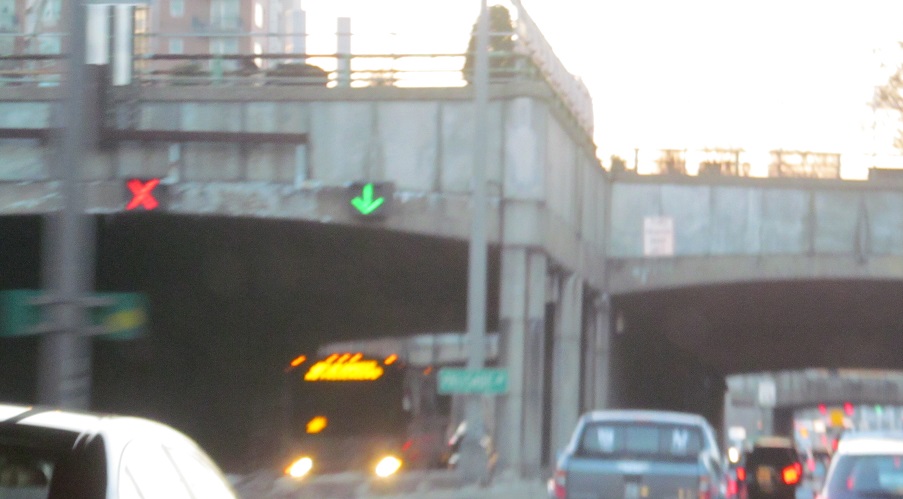
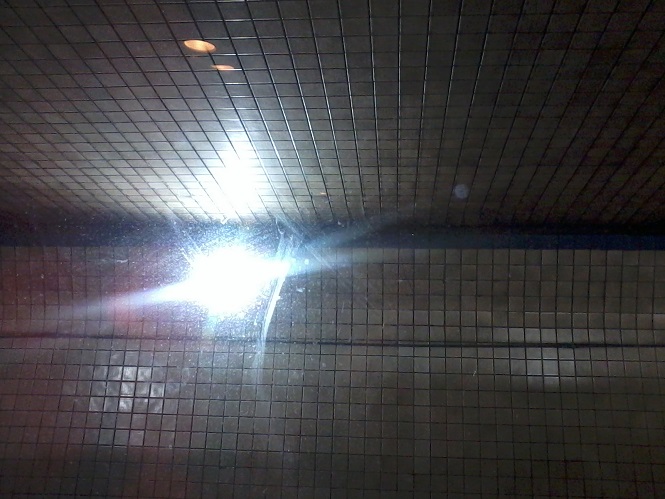
One-piece warning for motorists coming down the helix.
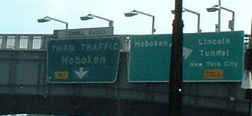
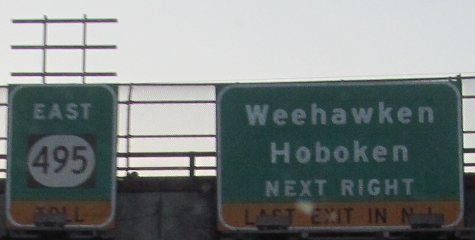
Weehawken is really small, so by the time you clear all the ramps for the tunnel, you're in Hoboken. This trapezoidal sign is issued by the Port Authority of NY and NJ (PANYNJ), as are all other ones in the general vicinity, on both sides of the river. It's distinctive, and they never use button copy. Tunnel buses, as directed by the sign, continue straight, then make an awkward turn much later on, to the beginning of the surface ramps to the tunnel. They may as well take the nearer turn, since the far one's just as tight. In the picture, you can also see a diagrammatic BGS not on a freeway, something I've never seen before.
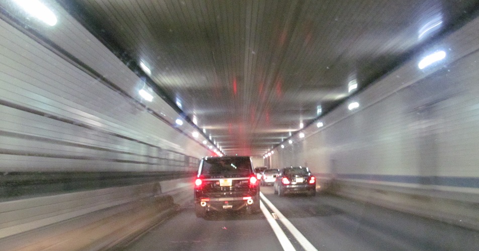
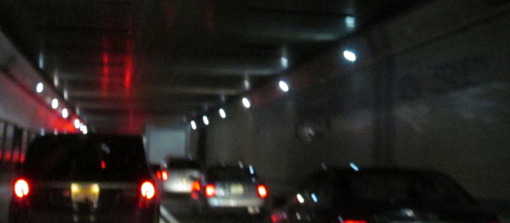
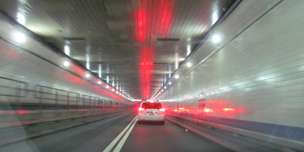
Continuing right on around the helix, past the tunnel walls and the tall light towers now also used for ITS/communication devices, into the South Tube (the one that's always EB) to the state line. It's easier to see than it is to photograph in the low lighting, not to mention that traffic always manages to start moving just before that point.
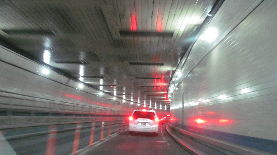
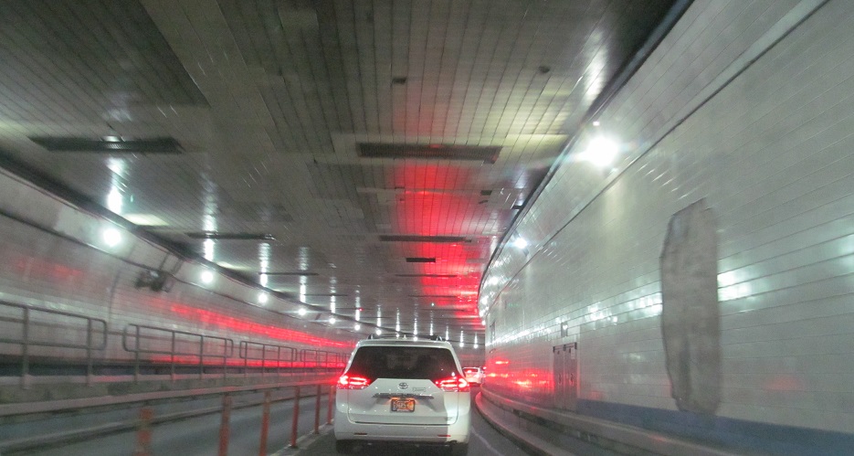
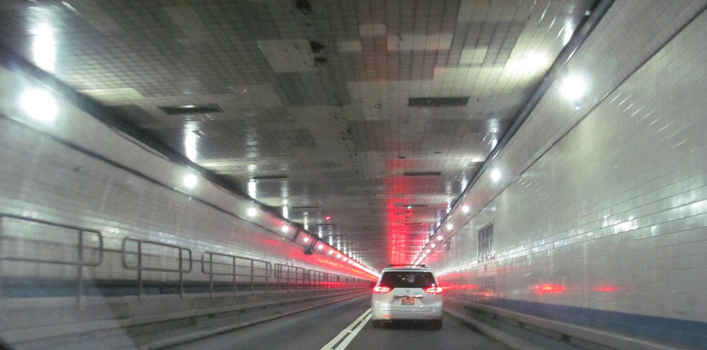
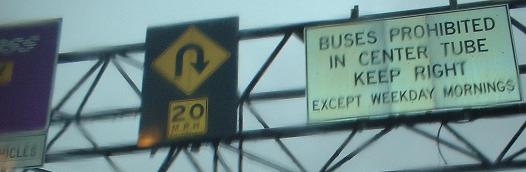
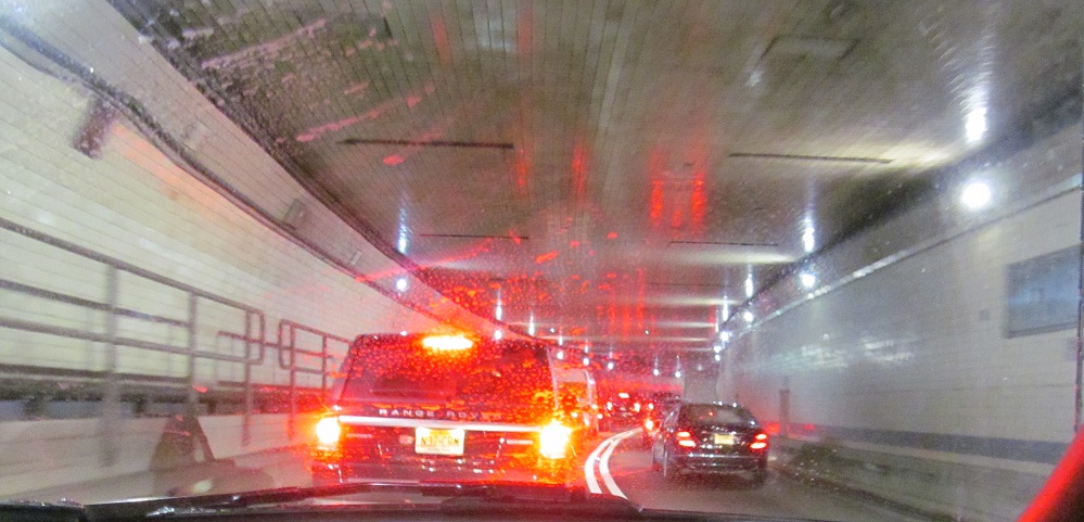
This time I have chosen the Center Tube. Normally it either has one lane each direction (for 3/3 total), but it goes mono-directional during rush hours and it takes traffic in either direction overnight when one of the other tubes is closed for maintenance.
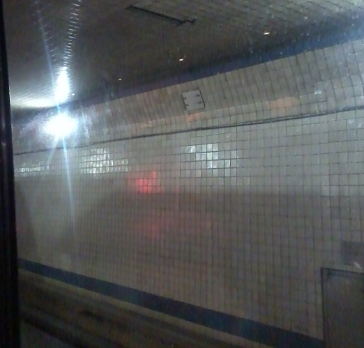
Taking a bus into the Center Tube during the morning rush hour, you can see it's running inbound in both lanes.
In closing, an old Port Authority sign in Passaic.
Over to the WB lanes
Back to NJ 495 main page
East into New York on 495 (Lincoln Tunnel)
Onto US 1-9
Onto CR 501 (Kennedy Blvd.)
See more of Hudson County
Back to New Jersey Roads
Back to Roads