New Jersey Roads - NJ 440/CR 501 - Southern
 , Southern section
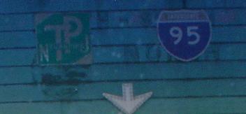
Whoopsie-daisy! The above shield is on Amboy Ave. SB at Pfeiffer Blvd. EB, which turns into Grove St (Pfeiffer and Grove comprise the NB frontage road). The left arrow holding up the NJ 440 shield may have disappeared, or may just be hiding underneath. The southern section of NJ 440 was once east-west... well, it still is east-west, but is now signed north-south to jive with the rest of the road in NY and NJ. CR 501 drops onto NJ 440 from NJ 184, which was NJ 440 before the construction of the freeway. Note down here that CR 501 is E-W, whereas the northern section is N-S (and the odd number lends itself to that). This is probably because the 501 number is discontinuous through NY and somewhat longer in central Jersey than 440 is (ending at CR 529 in Edison), so while 440 changed to match the other half, 501 remains resolute.
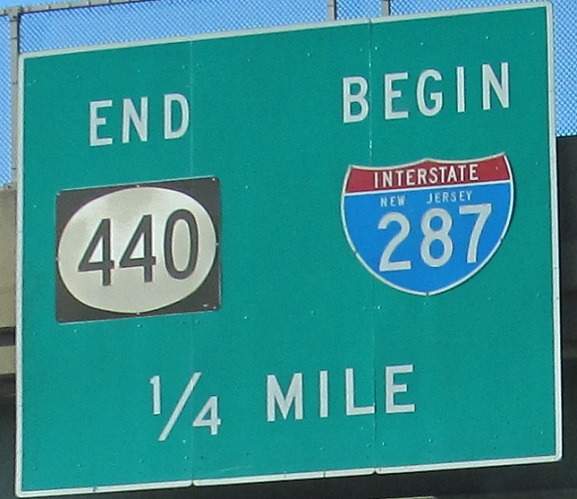
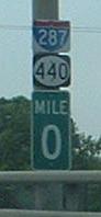
The southern co-terminus with I-287, besides being a SB-NB transition, is only marked on an onramp that has not yet joined the mainline. This is directly above the New Jersey Turnpike, which is because I-95 was to have taken over the eastern few miles of I-287 and then used the Turnpike from Exit 10 northward. When the Somerset Freeway was scrapped, eventually I-287 renumbered its exits (previously, Exits 36 and 38 came after 1 due to I-95's proposed numbering scheme), but it kept its odd terminus. In my opinion, it should be extended eastward to the NY state line, even though the Outerbridge Crossing is four-lane undivided, just to eliminate the NJ 440 duality. CR 501 would become CR 599 or another available CR 5xx.
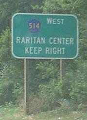
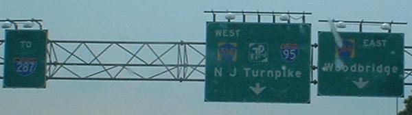
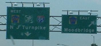
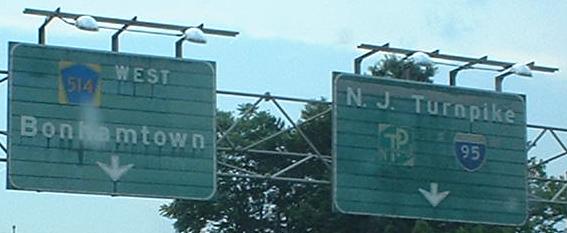
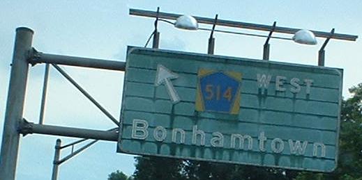
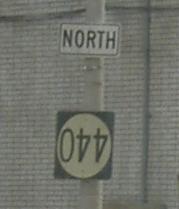
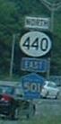
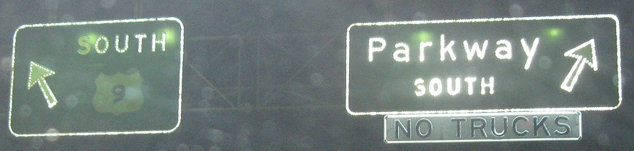
SB NJ 440 at CR 514. Notice in the third photo that the EAST 514 shield has a different font than the WEST one; looks like just a height difference, though, due to being an older shield, and not a font width difference. The last two signs, on the ramp that's shared with traffic from some surface sources, are very old indeed - the interchange dates from 1970, and so they must be 35 years old. If you click on the fourth photo, you'll see clear evidence from Lou Corsaro that the sign said 95 NORTH, from the time when I-95 SOUTH would have been straight ahead from NJ 440 SB (abruptly turning into I-287 NB where the Somerset Freeway would have tied in).
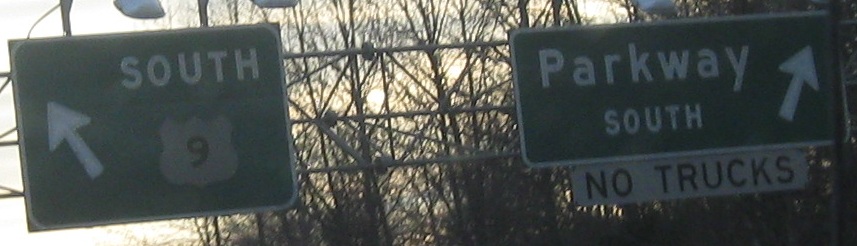
I passed this once, didn't know how I got there or what ramp it was on. Then I found it again - at least twice. It's on the ramp from NJ 440 SB.
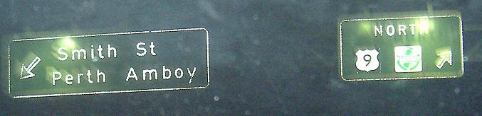
Now on the NJ 440 NB ramp to US 9, another set of old signs but unfortunately with replaced shields.
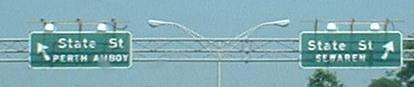
These are all on Grove St. EB, which is the frontage road for NJ 440 NB, and replaces half of Pfeiffer Boulevard (which once followed what's now NJ 184 and went into the Outerbridge Crossing). The final sign, as Grove St. EB spirals down to its demise and NJ 440 rises over the Hudson River, is the only mention I've seen anywhere of the town of Sewaren - and I don't just mean on signage, I mean anywhere. But I checked, and it does exist; it's a section of Woodbridge, and probably was its own town when the signs were fabricated.
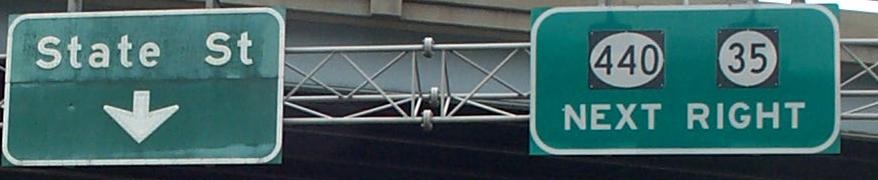
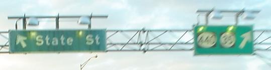
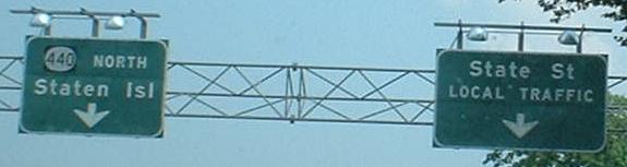
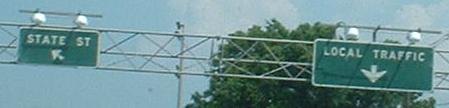
State Street NB, courtesy HNTB Corporation (1st photo) and Lou Corsaro (2nd photo).
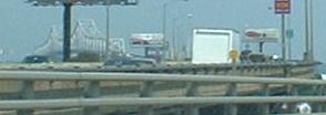
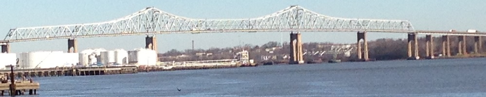
Heading NB, and then with a northward look courtesy Lou Corsaro, this is the Outerbridge... Bridge. It's usually called the Outerbridge Crossing, since first Port Authority chairman Eugenius H. Outerbridge's name doesn't lend itself well otherwise (and just calling it the Outerbridge would be like calling the tunnel just "Lincoln").
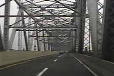
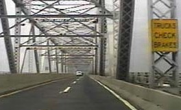
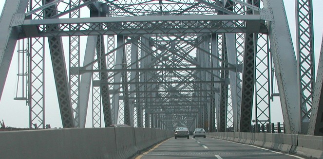
One NB and two SB looks across the Outerbridge Crossing, first 2 photos courtesy Ray Martin and the last courtesy Chris Mason.
To northern NJ 440
Onto NJ 184 (old NJ 440) with CR 501
Onto CR 501 alone
Back to NJ 440 main page
Into NY on NY 440
Onto I-287
Onto CR 514
Onto the NJ Turnpike, I-95
Onto US 9
Onto the Garden State Parkway
Onto Smith St.
To NJ 35
NJ 440 freeway on Steve Anderson's nycroads.com
Back to New Jersey Roads
Back to Roads