New Jersey Roads - NJ 3 - Service Road/Misc.
NJ 3 - Service road and misc. photos
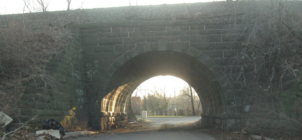
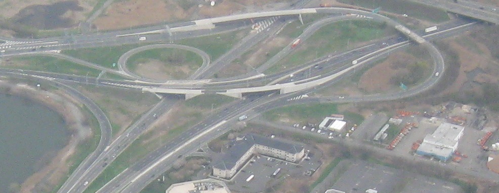
Let's start with the service road. When you're driving on NJ 17 SB, you're doing fine until suddenly you face a tight curve, and you're driving back northward again, and hello I just drove that stretch of road to my right, and suddenly you're on old NJ 3 facing westward. Well, NJ 17 was planned to run through to the NJ Turnpike, and you can read about that on nycroads.com. There would have been a doubly-suffixed exit, so maybe it's better that didn't happen, and traffic loads are handled quite adequately by NJ 3. But the interchange design clearly would support a full cloverleaf. Why do I mention this here? You're about to see signs on the strange service road, which runs a U shape from the southern part of the most-clo, all the way east to Berry's Creek, then loops under NJ 3 and runs all the way back again. In fact, it ends up being the northern frontage road all the way to the Passaic River, making it more of a bobby pin than a U.
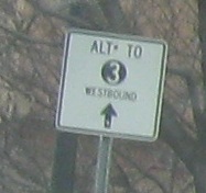
These are westbound on the southern leg of the service road, which technically starts at the NJ 17 SB offramp/NJ 3 WB onramp pair, and ends here again at NJ 17 to the south of the interchange.
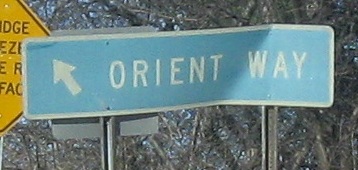
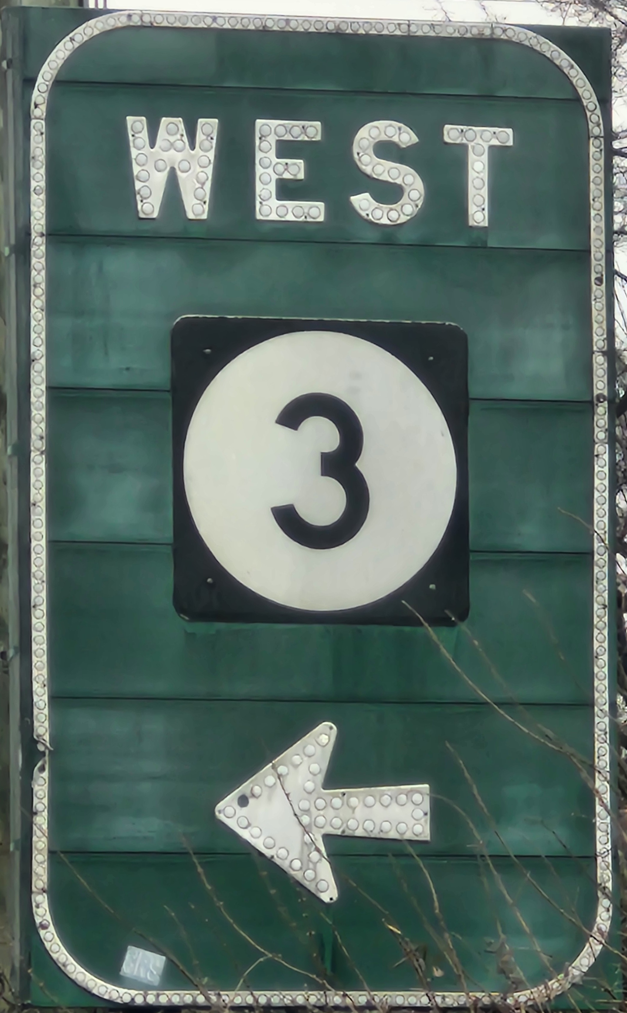
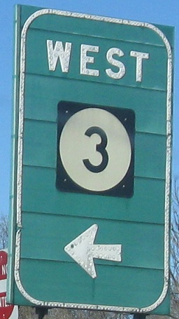
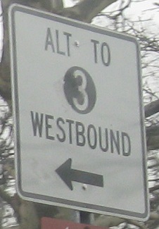
WB at the northern end of the service road, which is the opposite direction of the above WB, naturally. After going all around the mulberry bush, traffic may now get back to civilization. The WEST 3 is a bit misleading, and the ORIENT WAY gore sign (which has stayed bent for 10 years running) does little to help; in fact, the service road continues to the left, and goes into the heart of Lyndhurst/Rutherford.
There are two ways to get to NJ 17 NB. As above, you could be heading west and just bear right, but if you're heading east or even if heading south on Veterans Blvd., there's an entrance right here next to the NJ 3 WB offramp.
Speaking of Veterans Blvd., I found this nice veteran SB approaching the aforementioned service road ramps, still sporting its original NJDT tag (pre-"Of"). Click on either photo for a closeup.
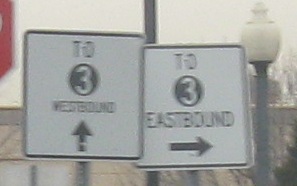
WB and EB, respectively, on the north half of the service road, where the NJ 17 SB offramp to NJ 3 WB spawns a service road on/off ramp pair. In other words, traffic on the SB-WB ramp is temporarily on its own one-lane one-direction freeway, and has a service road exit and entrance. For reference, the blue SERVICE ROAD sign in the background of the second photo faces NJ 17 SB offramp traffic. Click on the first photo for a closeup taken 15 years later, then follow the NJ 17 link at the bottom of this page for more confusion in this area.
 Deteriorating non-reflective LGS on Bloomfield Ave. NB in Clifton.
Tootling about the shopping center between NJ 3 EB and Kingsland Rd. (partly NJ 7) east of Main Ave.
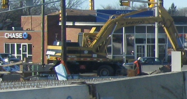
Kingsland Ave. EB and WB under NJ Transit. So why is this on the NJ 3 page? It's actually inside the NJ 3/21 interchange. Getting here requires bridging over the EB-SB ramp on Kingsland Ave., and after the removal of a small neighborhood, the only thing left on the east side is a single business and some views of the highways.
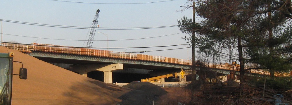
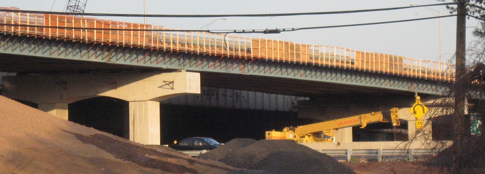
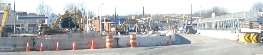
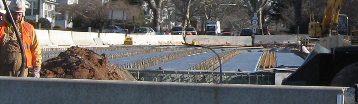
Views from the end of Kingsland Ave. during NJ 3 Passaic River bridge construction. The first photo is the new NJ 21 ramp to NJ 3 EB, pushed out from the old ramp. The other photos are the new EB C-D road, which will temporarily carry the mainline while the existing drawbridge is dismantled and replaced.
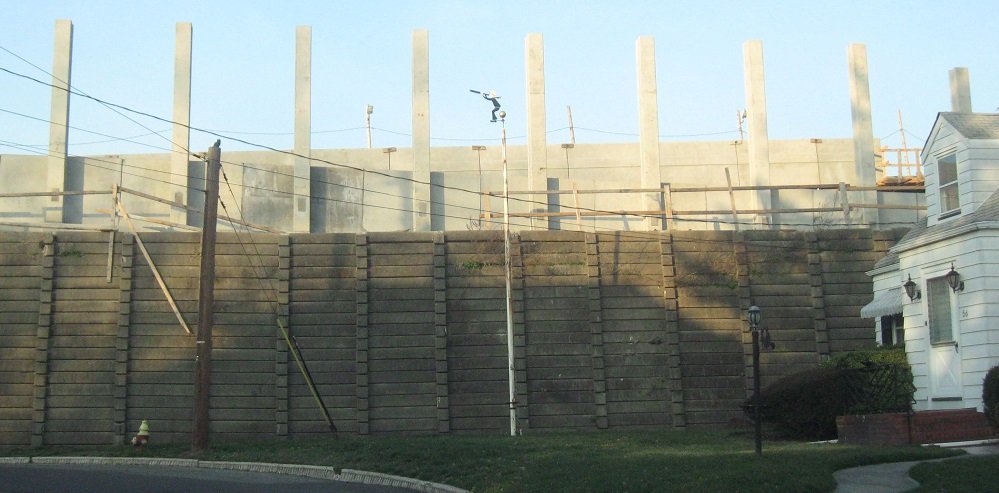
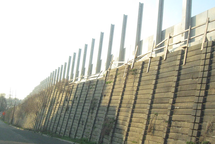
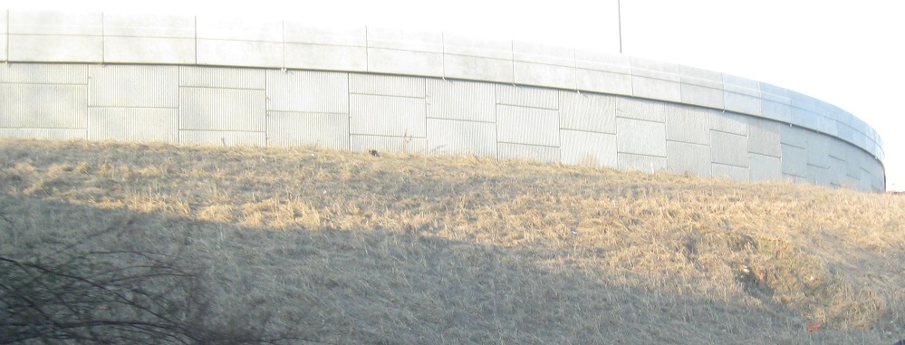
Heading back to the street network from there puts me on Myrtle Ave. NW, along the old retaining wall for NJ 3 EB and the ramp to NJ 21 SB. New sound walls are being built on top of it to compensate for the added noise from a wider highway.
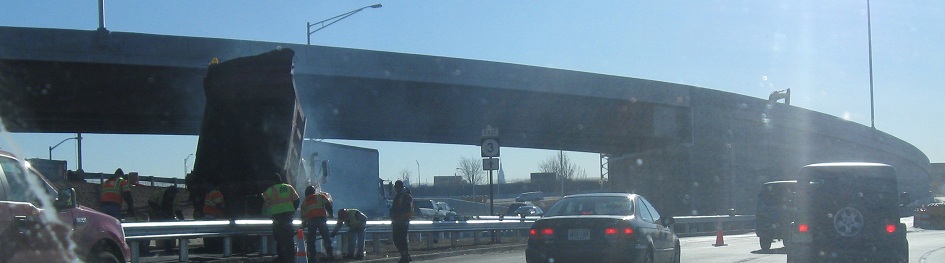
Park Ave. overpass reconstruction in Lyndhurst, heading SB on the half already built and looking east at the half yet to come. The original 1948 overpass barely crammed six lanes of NJ 3 beneath it, but the new one will fit eight to ten lanes generously for the expanded highway now under construction. Park Ave. was reconstructed before the rest of the widening began because it could be (makes everything else easier).
Looking west from Park Ave./Rutherford Ave. at ongoing NJ 3 widening. The new EB offramp is at left.
 I hope these Delafield Ave. NB shields disappear at the end of construction.
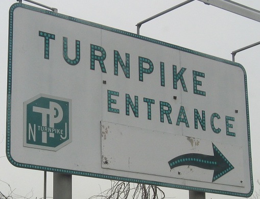
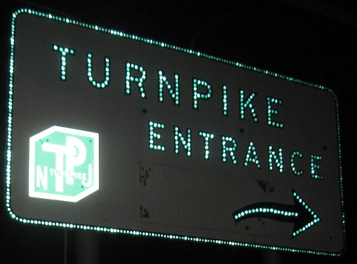
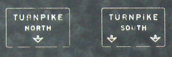
Yes, those are green reflectors in that sign, the only green button copy still in service anywhere. (The ones at Turnpike Exit 12 are gone.) It's on the Meadowlands/NJ 3 EB frontage road, which is one-way EB and acts as a freeway. West of the NJ 120/Meadowlands exit from 3 EB, this road is two-way and takes traffic to the parking lots. Otherwise, it splits, as you will soon see.
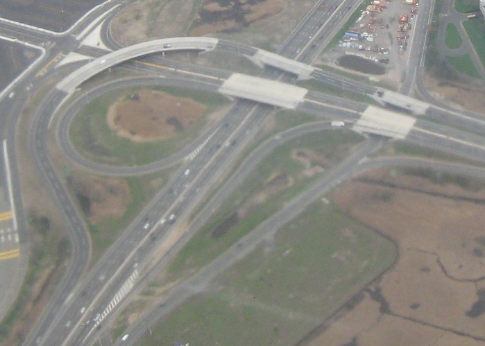
An overview of the new end of Turnpike Exit 16W, facing east, with a new flyover to NJ 3 WB added to replace a former loop.
On the N.J. Turnpike Westerly Alignment onramp from the Meadowlands/NJ 3.
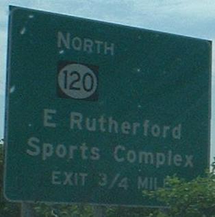
This is the split I just mentioned. Traffic to the Continental Airlines Arena (formerly Brendan Byrne) has been directed this way the entire time, but the roadway configuration around the Meadowlands gives you another chance to delve back into the Giants Stadium area. If you go straight, you merge back with NJ 3 EB; otherwise, you soon pass MILE 0 of NJ 120.
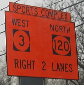
Oh, hey, there's a third construction project going on within a three-mile distance, and it's rebuilding the NJ 120 interchange so that the 120 SB ramp to NJ 3 EB is a right merge instead of a left merge. The origin of the left merge is back before 1953 when 120 was NJSHR 3 and 3 was NJSHR S-3, or a spur off of the 3 through route. 3 was supposed to follow 120 and unbuilt alignments through Wallington and Passaic to get to Paterson. So historically, the left merge was correct if NJSHR 3 was considered the through route, though I think by the time the interchange was upgraded from the original circle, NJ 3 was following its modern route to Clifton. These photos are all on the EB service road.
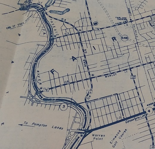
Here we see NJSHR 3 on what's now NJ 20 in Paterson, in the 1939 NJ State Highway Dept. Bergen County map. Since that part was built as a state highway, it was signed as 3 until 1953.
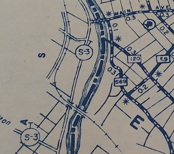
And here we see NJSHR S-3, though not on the expected alignment. Until the new highway was built, it used Van Houten Ave. to head west into Passaic County and temporarily followed CR 120 (Paterson Plank Road) east from there.
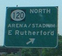
Post-construction, NJ 3 and 120, facing east. NJ 120 SB now splits into a mainline (left merge) and access to Meadowlands Pkwy. (right ramp). The interchange is ringed by the ramp from the EB service road (the only EB access) to the Meadowlands exit of NJ 120 NB. That's another new ramp; the old ramp remains curled inside as a left merge to 120.
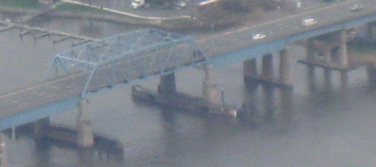
One more aerial photo, looking north at the old NJ 3 Hackensack River bridge that still carries the EB lanes.
Courtesy Scott Colbert, these monstrosities appear outside a Walmart in Secaucus.
Slightly less monstrous, Union Tpk. WB in North Bergen. It's a one-piece sign, so the white background for the Turnpike shield can be excused, and only slightly less so the narrow US 1-9 shield.
Onto NJ 3 EB
Onto NJ 3 WB
Rutherford/Passaic River construction
Back to NJ 3 main page
Onto NJ 17
Onto the NJ Turnpike (I-95) Westerly Alignment
Onto NJ 120
To the NJ Turnpike Easterly Alignment
To US 1-9
Back to New Jersey Roads
Back to Roads