New Jersey Roads - NJ 15 - Dover
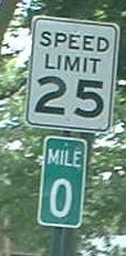
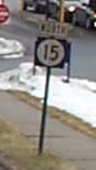 in Dover
Above: Formerly on Pequannock St. SB just south of US 46, courtesy HNTB Corporation - it's not NJ 15, just the former way to get there from US 46 EB. Now you can just make a left.
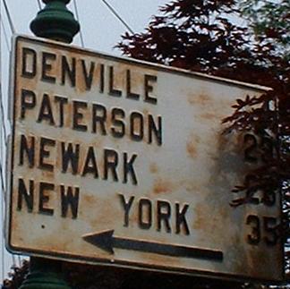
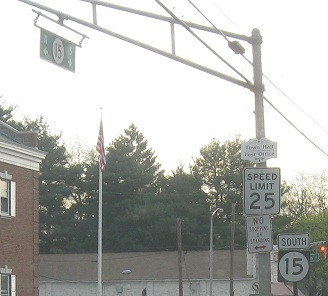
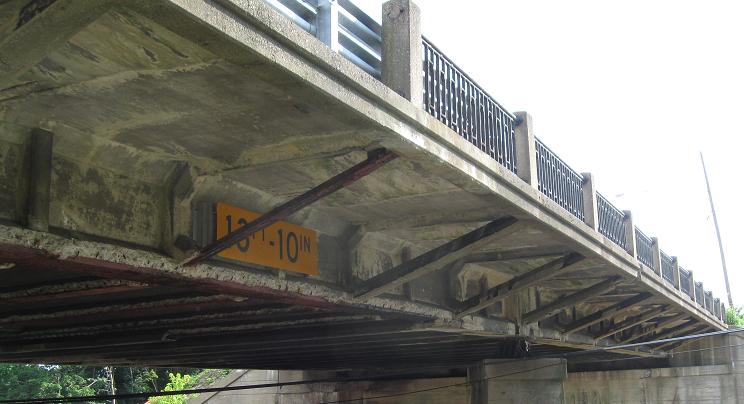
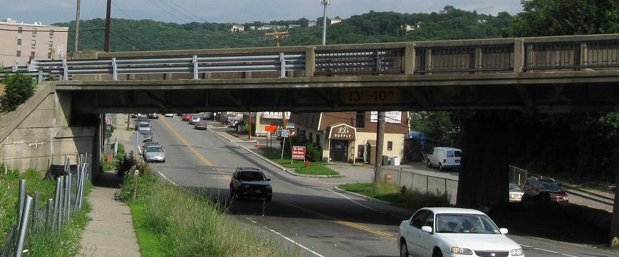
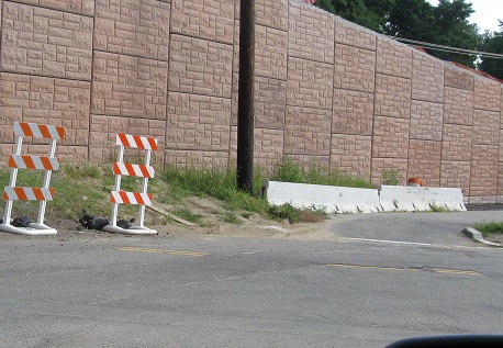
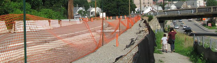
These were on NJ 15 SB approaching and then at US 46, one of those places where you can make a right turn to go from SB to EB. Until the new construction, 15 crossed under 46 just west of the town of Dover, where the only ramp was WB-NB, then ran parallel to it a block south for awhile on Clinton Street. Finally giving that up, 15 SB curved to the north, where you would once see the first sign (in fact, ever since the 1930s), made a left turn on Bergen Street (after passing Warren, Sussex, Morris, and Essex - notice a pattern?), and ended at 46. Going straight from there brings you to I-80 at Exit 35, as you see by the second sign, just a mile east of 80's junction with 15 at Exit 34. In other words, by following NJ 15 SB you could make a complete loop. This has changed, as NJ 15 now comes to a proper grade intersection with US 46 at the old overpass; the river/railroad/15 overpass was overdue to be rebuilt anyway. Clinton Avenue now dead-ends just before reaching 46, because there's not enough room to bring it up the hill to 46 (whereas 15 is coming down a hill the other direction, and thus can just be smoothed out to level). At least the oldest sign (the first) has been preserved at the Whippany Railway Museum. The rest of this page is mostly photos of construction for the new 15.
NJ 15 NB starting life on Bergen Street. I don't know if/how mileposts will be adjusted on the entire route post-construction - there may be a back/ahead station, but it may not be signed.
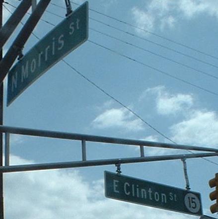
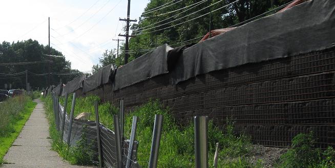
Some NJ 15 shields that no longer belong, and one of the only indications that you are on a formerly state-maintained road (well, that and the last course of pavement to be put down by NJDOT is still in place). Clinton Street will revert to Dover maintenance.
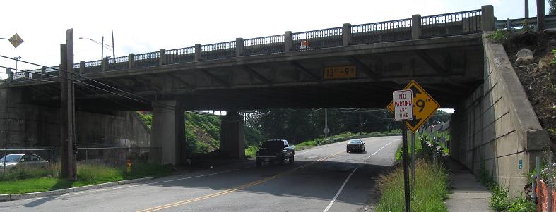
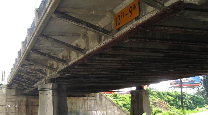
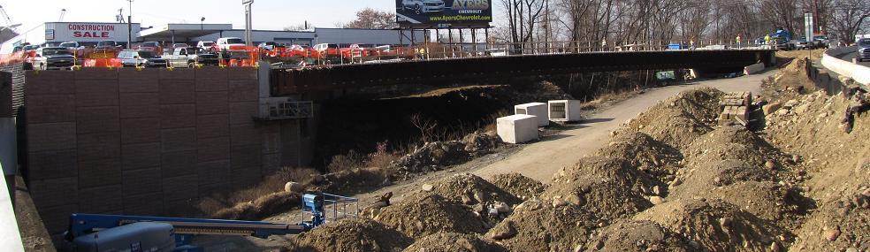
Heading north underneath US 46 and swiveling around to facing south. This is one of two overpasses that will be replaced. NJ 15 will cross the railroad on a new bridge and intersect US 46 just west of these photos.
Old NJ 15, Clinton Ave., at its new dead-end. There wasn't a lot of effort to remove striping or, at this point, even give any shape to the eventual cul-de-sac. There will be a new bulb and appropriate curb at some point, but right now there's little to prevent someone stupid from crashing into the modular retaining wall.
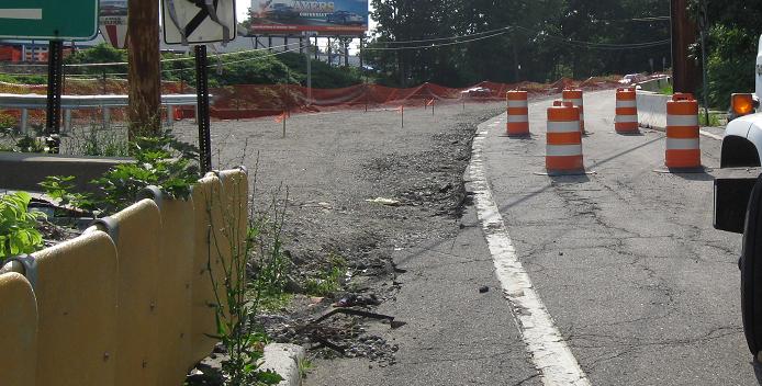

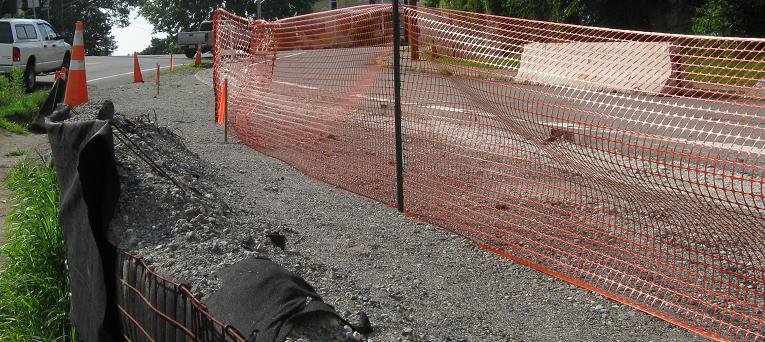
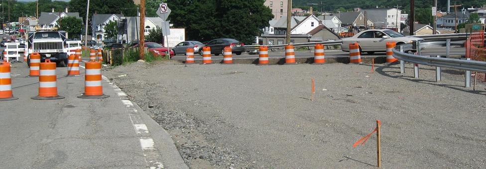
NJ 15 NB alongside the reconstruction of the US 46 WB ramp, then up onto the ramp and heading north onto 15. The reason these photos are here instead of on the US 46 page is that they are showing the temporary path of NJ 15 as construction progresses. By pushing the pavement out to the edge of existing NJ 15, NJDOT can barely squeeze two lanes on top of the embankment for both directions of traffic. As soon as this opens, NJ 15 will never again pass beneath US 46.
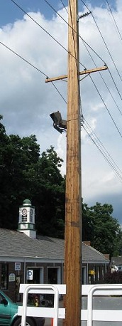
Back south down the ramp (future temporary NJ 15 SB) to a strange pole at US 46. These are apparently the permanent utility poles, although still set temporarily in concrete-filled holes until construction finishes. I've never seen a rectangular pole and I never hope to again.
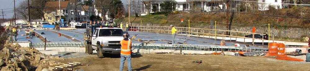
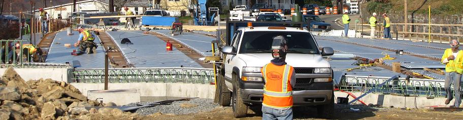
Progress on the new NJ 15 bridge across the railroad as of November 2010, looking north from US 46. It could be ready before the US 46 mainline bridges at this rate.
Looking south from the other side. NJ 15 traffic is temporarily using the former WB-NNB slip ramp, widened just enough to squeeze one lane each way up on the embankment, but to make it work, trucks aren't allowed.
Continue north on NJ 15
Back to NJ 15 main page
Onto US 46
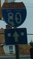
To I-80
Back to NJ Roads
Back to Roads